


Maxdorf, Germany
Verbandsgemeinde Maxdorf
Maxdorf is a town of 6,882 people in Rheinland-Pfalz, Germany.
Why visit Maxdorf
Townapedia lists 12 museums and landmarks, 4 parks and trails, 30 places to eat, 1 place to stay and 2 attractions in and around town.
Highlights include Blattlaus Bio-Landbau Maxdorf, Grabkreuz and Kreisbad 'Heidespaß' Maxdorf-Lambsheim.
Weather in Maxdorf
Forecast from MET Norway (CC BY 4.0). Full forecast
About Maxdorf
Maxdorf is a Verbandsgemeinde ("collective municipality") in the district Rhein-Pfalz-Kreis, in Rhineland-Palatinate, Germany.
From the Wikipedia article Maxdorf (Verbandsgemeinde) (this version), under CC BY-SA 4.0.
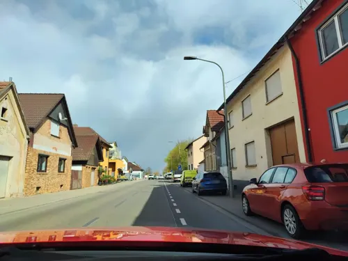
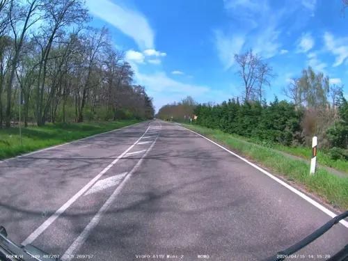
Photos of Maxdorf


Things to do2
Museums and landmarks12

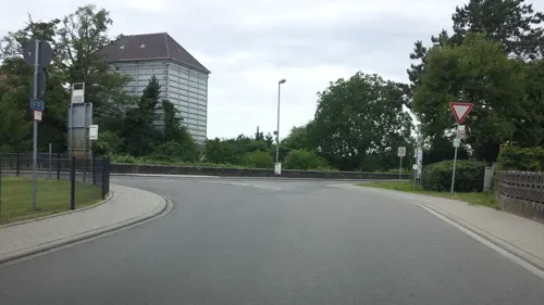
Altes Pumpwerk Lambsheim
Monument and historic site · 2.1 km
Eppsteiner Weg, Lambsheim

Maxdorfer Blitzbaum
Monument and historic site · 0.9 km
Ein Baum der vor einigen Jahren vermutlich vom Blitz getroffen wurde. Auf einer Seite tot auf der anderen Seite sehr lebendig. Sehr...
Parks, trails and playgrounds4

Kreisbad 'Heidespaß' Maxdorf-Lambsheim
Sports field and stadium · 1.3 km
111 Heideweg, Maxdorf
Mo 13:00-18:00, Tu-Fr 13:00-21:30, Sa 11:00-18:00, Su 09:00-19:00;...


Restaurants and cafes30
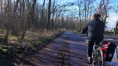
Gaststätte ASV Birkenheide - Bellini Ristorante
Restaurant · Pizza, Italian · 1.9 km
1 In den Pfalzwiesen, Birkenheide
Tu-Su 11:00-22:00
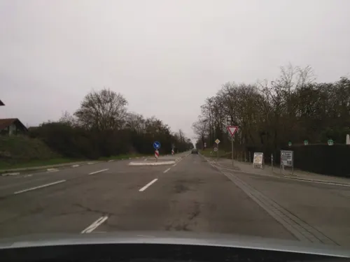
Göbels Schlemmerland
Restaurant · Regional · 2.4 km
52 Mannheimer Straße, Ellerstadt
Mo-Su 07:00-21:00
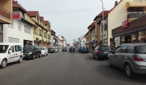
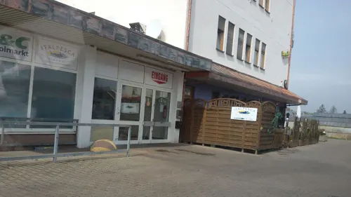
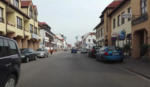
Bäcker Görtz
Bakery · 0.7 km
64 Hauptstraße, Maxdorf
Mo-Fr 05:30-18:00; Sa 06:00-17:00; Su 07:30-17:00
Treffpunkt Maxdorf
Bar and pub · 0.9 km
2 Schillerplatz, Maxdorf
Mo-Fr 17:00-00:00; Sa 12:00-00:00; Su 12:00-20:00
Kurt's Treff
Restaurant · German · 0.7 km
21 Hauptstraße, Maxdorf

Da Giusi
Restaurant · Italian · 0.8 km
1 Am Neugraben, Maxdorf
Mo-Fr,Su 11:30-14:00; Tu-Su 17:00-23:00
Kamin
Restaurant · Greek · 1.9 km
1 Mannheimer Straße, Birkenheide
Mo-Sa 17:30-24:00; Su,PH 11:30-24:00

Neunzehn46
Restaurant · Pizza, Burger, Sandwich, German · 1.0 km
2 Longvic-Platz, Maxdorf
Tu-Fr 11:00-14:00,16:30-22:00; Sa,Su 11:00-22:00
18 more on the map.
Where to stay1
Churches and places of worship4
Shopping9
Gas and EV charging2
Schools, colleges and libraries6
Healthcare4
Map of Maxdorf
74 places. The map loads OpenStreetMap tiles when you open it.
Getting there and nearby towns
City-Airport Mannheim (MHG) is the nearest airport with scheduled flights listed in OpenStreetMap, 16 km away.
- Frankenthal 7 km northeast, about 7 min by car
- Mutterstadt 7 km southeast, about 7 min by car
- Herxheim am Berg 8 km west, about 8 min by car
- Bad Dürkheim 9 km west, about 9 min by car
- Limburgerhof 10 km southeast, about 10 min by car
- Ludwigshafen am Rhein 11 km east, about 11 min by car
- Böhl-Iggelheim 12 km south, about 12 min by car
- Neuhofen 12 km southeast, about 12 min by car
- Bobenheim-Roxheim 12 km northeast, about 12 min by car
- Mannheim 13 km east, about 13 min by car
Drive times are estimates from straight-line distance, not routes.
Towns near Maxdorf




Local news
Headlines from INDB.
Reviews, tips and questions
Loading what members have shared...
Sources and licences
- GeoNames (CC BY 4.0): population, coordinates, regions and time zone
- Mapillary (see each image): photos
- OpenStreetMap contributors (ODbL 1.0): places, airports, map data
- Wikidata (CC0 1.0): elevation, founding date, time zone, website
- Wikimedia Commons (see each image): photos
- Wikipedia (CC BY-SA 4.0): overview and history text
Photo credits
- Protestantisches Pfarrhaus in Maxdorf mit Gemeindehaus und K4, Markantisimus, CC BY-SA 4.0
- Rathaus Maxdorf - panoramio, Immanuel Giel, CC BY 3.0
- Maxdorf - panoramio - Immanuel Giel (1), Immanuel Giel, CC BY 3.0
- FRA 7, Maxdorf (P1100559), Matti Blume, CC BY-SA 4.0
- Birkenheide Lukaskirche - 2015, Oliver Orschiedt, CC BY-SA 4.0
- Maxdorf Johanneskirche - 2015, Oliver Orschiedt, CC BY-SA 4.0
- Katholische Kirche Maxdorf 01, Immanuel Giel, Public domain
- Pfalzwerke am Ortsausgang - panoramio, Immanuel Giel, CC BY 3.0
- Heidewald 03, Silverangel111, CC BY-SA 3.0
- Protestantische Pfarrkirche, Christuskirche, Markantisimus, CC BY-SA 4.0
- Katholische Pfarrkirche St. Maximilian mit Pfarrhaus, Markantisimus, CC BY-SA 4.0
- Katholische Pfarrkirche St. Maximilian, Markantisimus, CC BY-SA 4.0
- Katholische Pfarrkirche St. Maximilian Portal, Markantisimus, CC BY-SA 4.0
- Gibt es hier (Süd-)Koreaner - panoramio, Immanuel Giel, CC BY 3.0
- Kunscht - panoramio - Immanuel Giel (1), Immanuel Giel, CC BY 3.0
- Bahnhof - panoramio (24), Immanuel Giel, CC BY 3.0
- Heidewald 02, Silverangel111, CC BY-SA 3.0
- Heidewald 01, Silverangel111, CC BY-SA 3.0
- Heidewald 04, Silverangel111, CC BY-SA 3.0
- Protestantische Johanneskirche, eingerüstet 2, Markantisimus, CC BY-SA 4.0
- Protestantische Johanneskirche, eingerüstet, Markantisimus, CC BY-SA 4.0
- Heidewald 06, Silverangel111, CC BY-SA 3.0
- Carl-Bosch-Haus vom Kreisel aus, Markantisimus, CC BY-SA 4.0
- Protestantische Johanneskirche Weihnachtsbeleuchtung, Eingang mit Turm, Markantisimus, CC BY-SA 4.0
- Brunnen vor dem Carl-Bosch-Haus, Markantisimus, CC BY-SA 4.0
- Protestantische Johanneskirche Weihnachtsbeleuchtung, Kirchenschiff mit Turm, Markantisimus, CC BY-SA 4.0
- Eingang Carl-Bosch-Haus, Markantisimus, CC BY-SA 4.0
- Heidewald 05, Silverangel111, CC BY-SA 3.0
- Heidewald 08, Silverangel111, CC BY-SA 3.0
- Heidewald 07, Silverangel111, CC BY-SA 3.0
- Kulturdenkmal Grabkreuz Maxdorf, Markantisimus, CC BY-SA 4.0
- Street-level photo, changchun1, CC BY-SA 4.0
- Street-level photo, cnelke, CC BY-SA 4.0
- Street-level photo, wegavision, CC BY-SA 4.0
- Street-level photo, wegavision, CC BY-SA 4.0
- Street-level photo, teddy73, CC BY-SA 4.0
- Street-level photo, wegavision, CC BY-SA 4.0
- Street-level photo, wegavision, CC BY-SA 4.0
- Street-level photo, wegavision, CC BY-SA 4.0
- Street-level photo, teddy73, CC BY-SA 4.0
- Street-level photo, wegavision, CC BY-SA 4.0
- Street-level photo, teddy73, CC BY-SA 4.0
- Street-level photo, ramap, CC BY-SA 4.0
- Street-level photo, teddy73, CC BY-SA 4.0
- Street-level photo, teddy73, CC BY-SA 4.0
- Street-level photo, wegavision, CC BY-SA 4.0
- Street-level photo, ramap, CC BY-SA 4.0
- Street-level photo, wegavision, CC BY-SA 4.0
- Street-level photo, soulcover, CC BY-SA 4.0
- Street-level photo, teddy73, CC BY-SA 4.0
- Street-level photo, teddy73, CC BY-SA 4.0
- Street-level photo, ramap, CC BY-SA 4.0
- Street-level photo, wegavision, CC BY-SA 4.0
- Street-level photo, teddy73, CC BY-SA 4.0
- Street-level photo, wegavision, CC BY-SA 4.0
- Street-level photo, teddy73, CC BY-SA 4.0
- Street-level photo, wegavision, CC BY-SA 4.0


Page built November 9, 2026. Spotted a mistake? Tell us or suggest a place.