


Bobenheim-Roxheim, Germany
Bobenheim-Roxheim is a town of 10,106 people in Rheinland-Pfalz, Germany.
Why visit Bobenheim-Roxheim
Townapedia lists 21 museums and landmarks, 21 parks and trails, 56 places to eat, 6 places to stay and 12 attractions in and around town.
Highlights include Tiergarten Worms, Börschingers Nudeln, Jüdisches Museum Worms and Luther monument Worms.
Weather in Bobenheim-Roxheim
Forecast from MET Norway (CC BY 4.0). Full forecast
About Bobenheim-Roxheim
Bobenheim-Roxheim (German pronunciation: [ˈboːbn̩haɪm ˈʁɔkshaɪm]) is a municipality in the Rhein-Pfalz-Kreis, in Rhineland-Palatinate, Germany. It is situated approximately 5 km south of Worms, and 13 km northwest of Ludwigshafen. It is mentioned in the wall-building ordinance of Worms (Wormser Mauerbauordnung) from around 900 as one of the places that shared responsibility for maintaining the city wall of Worms.
From the Wikipedia article Bobenheim-Roxheim (this version), under CC BY-SA 4.0.
Things to do12

Tiergarten Worms
Zoo and aquarium · 3.2 km
Apr-Sep: Mo-Su,PH 09:00-19:00; Mar-Oct: Mo-Su,PH 09:00-18:00;...

Börschingers Nudeln
Farm and orchard · 3.5 km
87a Neubachstraße, Worms
Mo-Fr 10:00-12:30,16:00-18:30; Th off; Sa 10:00-13:00


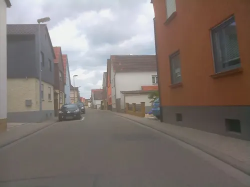

Hofladen Haas
Farm and orchard · 1.3 km
7 Mörscher Straße, Bobenheim-Roxheim
Mo-Tu,Th,Sa 08:00-12:30; We,Fr 08:00-12:30,14:30-17:30


Museums and landmarks21

Jüdisches Museum Worms
Museum · 5.1 km
Historical building in Worms, Germany

Luther monument Worms
Monument and historic site · 5.0 km
Large group monument for Martin Luther in Worms, often copied






Gefallenendenkmal
Monument and historic site · 4.2 km
Text: UNSEREN GEFALLENEN GEW. V. ALEMANIA WORMS 05 V.F.R. E.V.
9 more on the map.
Parks, trails and playgrounds21





9 more on the map.
Restaurants and cafes56
bei Zeljo
Restaurant · Montenegrin · 1.2 km
Ungarisches Restaurant
20 Am Binnendamm, Bobenheim-Roxheim
Tu-Th 12:00-14:30,17:00-22:00; Sa-Su 12:00-22:00
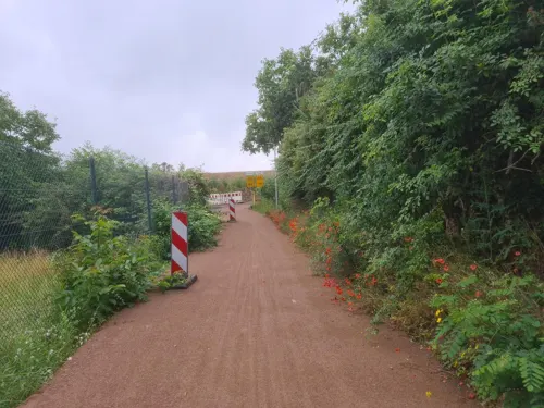
Bistro Jäger am TÜV
Restaurant · Regional, Breakfast, Coffee Shop · 3.3 km
14 August-Horch-Straße, Worms
Mo-Fr 08:00-14:00

Horchheimer Scheune
Cafe · Chocolate · 3.7 km
9 Turnhallenstraße, Worms
Tu-Fr 10:00-18:00; Sa 10:00-13:00; Su 09:30-12:00

Mr.Orient
Restaurant · Italian, Pizza · 1.8 km
3 Platz der Einheit, Kleinniedesheim
Tu-Sa 17:00-22:00; Su 12:00-14:30, 17:00-22:00
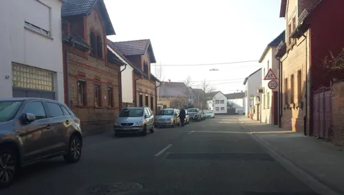
Würzburger Stube
Restaurant · Pizza, Regional · 2.8 km
69 Weinsheimer Hauptstraße, Worms
Tu-Sa 17:00-22:00; Su,PH 11:00-14:00,17:00-22:00
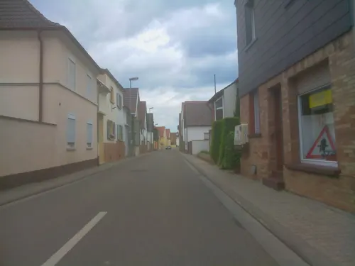
Gaststätte „Zum Vogelpark“
Restaurant
1 Kleinerweg, Bobenheim-Roxheim
Tu-Sa 12:00-22:30; Su 11:00-22:00
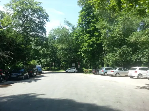

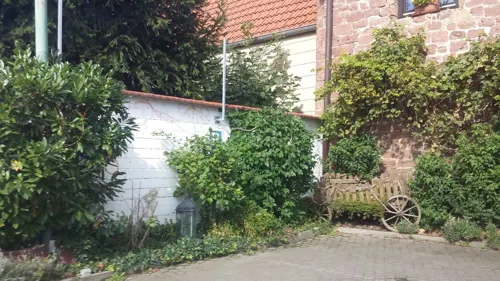
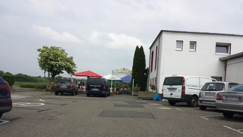


Familienweinkellerei Ras - A eins Vinobistro im Loft
Restaurant · Regional · 3.1 km
10 Roxheimer Straße, Worms
Mo-Th 09:00-20:00; "mehr mit Anmeldung"
44 more on the map.
Where to stay6
Churches and places of worship19
Prot. Kirche
Church · Protestant · 2.6 km
16 Großniedesheimer Straße, Kleinniedesheim
St. Bonifatius
Church · Roman Catholic · 3.0 km
22 Weinsheimer Hauptstraße, Worms
Shopping21
Gas and EV charging7
Winkler Automatentankstelle
Gas station · 4.0 km
44 Frankenthaler Straße, Beindersheim
Schools, colleges and libraries15
Healthcare4
Apotheke im Wormser Einkaufs-Park
Clinic and pharmacy · 4.3 km
8 Schönauer Straße, Worms
Bentrites Apotheke
Clinic and pharmacy · 4.0 km
2 A Heinrich-Lanz-Straße, Beindersheim
Map of Bobenheim-Roxheim
182 places. The map loads OpenStreetMap tiles when you open it.
Getting there and nearby towns
City-Airport Mannheim (MHG) is the nearest airport with scheduled flights listed in OpenStreetMap, 17 km away.
- Worms 5 km north, about 5 min by car
- Frankenthal 6 km south, about 6 min by car
- Lampertheim 8 km east, about 8 min by car
- Bürstadt 10 km northeast, about 10 min by car
- Mannheim 13 km southeast, about 13 min by car
- Ludwigshafen am Rhein 13 km southeast, about 13 min by car
- Grünstadt 14 km west, about 14 min by car
- Herxheim am Berg 16 km southwest, about 16 min by car
- Viernheim 17 km east, about 17 min by car
- Mutterstadt 16 km south, about 16 min by car
Drive times are estimates from straight-line distance, not routes.
Local news
Headlines from INDB.
Reviews, tips and questions
Loading what members have shared...
Sources and licences
- GeoNames (CC BY 4.0): population, coordinates, regions and time zone
- Mapillary (see each image): photos
- OpenStreetMap contributors (ODbL 1.0): places, airports, map data
- Wikidata (CC0 1.0): elevation, founding date, time zone, website, landmarks and historic places
- Wikimedia Commons (see each image): photos
- Wikipedia (CC BY-SA 4.0): overview and history text
Photo credits
- Bobenheim-Roxheimer Bahnhof- auf Bahnsteig zu Gleis 2- Richtung Ludwigshafen 18.4.2008, Wikimedia-User Jivee Blau, CC BY-SA 3.0
- Aerial, Bobenheim-Roxheim (P1180542), Matti Blume, CC BY-SA 4.0
- Bobenheim-Roxheim, Germany - panoramio, Immanuel Giel, CC BY 3.0
- Aerial, Bobenheim-Roxheim (P1180541), Matti Blume, CC BY-SA 4.0
- Barn, Bobenheim-Roxheim (P1180540), Matti Blume, CC BY-SA 4.0
- Aerial, Bobenheim-Roxheim (P1180544), Matti Blume, CC BY-SA 4.0
- Brunnen Heinz-Klag-Anlage Bobenheim-Roxheim, Emilius123, CC BY 4.0
- Aerial, Bobenheim-Roxheim (P1180546), Matti Blume, CC BY-SA 4.0
- Worms Bruecke 02, Armin Kübelbeck -- Kuebi 16:55, 27 May 2007 (UTC), CC BY-SA 3.0
- 2026-04-08 Achim-Lammerts D500-97379M Theodor-Heuss-Brücke, Achim Lammerts (Syntaxys), CC BY-SA 4.0
- Raschi-Haus, Buercky, CC BY-SA 3.0
- Lutherdenkmal Worms 01, Immanuel Giel, Public domain
- St. Andreas Worms 4, Altera levatur, CC BY-SA 4.0
- Worms sarcophagi, Fourdee at English Wikipedia, Public domain
- Worms Magnuskirche1, Chris06, Public domain
- Worms-Dreifaltigkeitskirche, Immanuel Giel, Public domain
- Worms Dom Ostfassade Vierung2005-05-27a, Unknown author, CC BY-SA 3.0
- Hochschule Worms Campus mit A-Gebäude, HochschuleWorms, CC0
- Worms-Weinsheim Gedächtniskreuz, McNail, CC BY-SA 3.0
- Kleinniedesheim Schloss Nordost 1aa, Altera levatur, CC BY-SA 4.0
- Protestantische-Kirche-Moersch-03, Immanuel Giel, CC BY-SA 3.0
- Worms-Horchheim-04, Immanuel Giel, CC BY-SA 3.0
- Kirche Kleinniedesheim 01, Immanuel Giel, Public domain
- Kirche-Weinsheim-02, Immanuel Giel, CC BY-SA 3.0
- Börschingers Nudeln Hofladen, Emilius123, CC BY-SA 4.0
- Hinterer Roxheimer Altrhein DSC 0173 Lachmöwen, Bernd Herd, CC BY-SA 4.0
- Rheinland-Pfalz, Worms, Wormser Ried 7319-019 82944, Herdsoft, CC BY-SA 4.0
- Stolpereck 2, Emilius123, CC BY-SA 4.0
- Rewe Horchheim, Emilius123, CC BY-SA 4.0
- Netto Horchheim, Emilius123, CC BY-SA 4.0
- Horchheim bft, Emilius123, CC BY-SA 4.0
- Tankstelle Ungefehr Beindersheim, Emilius123, CC BY-SA 4.0
- Tiergarten Worms Besuchereingang 2011, 4028mdk09, CC BY-SA 3.0
- Kleinniedesheim Hauptportal 1, Altera levatur, CC BY-SA 4.0
- Bobenheim Sankt Laurentius 20120417, Rudolf Stricker, Attribution
- Roxheim Sankt Maria Magdalena 20120417, Rudolf Stricker, Attribution
- Katholische Kirche St. Laurentius - panoramio, Immanuel Giel, CC BY 3.0
- Beim Silbersee - panoramio, Immanuel Giel, CC BY 3.0
- Kirche - panoramio - Immanuel Giel (1), Immanuel Giel, CC BY 3.0
- Bobenheim Fahrradschläuche, Emilius123, CC BY-SA 4.0
- Die Nibelungen-Museum in Worms (The Nibelungen Museum, just inside the city walls of Worms) - geo.hlipp.de - 21377, eirian evans on geo.hlipp.de, CC BY-SA 2.0
- Street-level photo, wegavision, CC BY-SA 4.0
- Street-level photo, wegavision, CC BY-SA 4.0
- Street-level photo, ValhallaUser, CC BY-SA 4.0
- Street-level photo, ValhallaUser, CC BY-SA 4.0
- Street-level photo, teddy73, CC BY-SA 4.0
- Street-level photo, ramap, CC BY-SA 4.0
- Street-level photo, wegavision, CC BY-SA 4.0
- Street-level photo, ValhallaUser, CC BY-SA 4.0
- Street-level photo, wegavision, CC BY-SA 4.0
- Street-level photo, wegavision, CC BY-SA 4.0
- Street-level photo, wegavision, CC BY-SA 4.0
- Street-level photo, miguel_andrade, CC BY-SA 4.0
- Street-level photo, teddy73, CC BY-SA 4.0
- Street-level photo, ramap, CC BY-SA 4.0
- Street-level photo, teddy73, CC BY-SA 4.0
- Street-level photo, wegavision, CC BY-SA 4.0
- Street-level photo, miguel_andrade, CC BY-SA 4.0
- Street-level photo, ramap, CC BY-SA 4.0
- Street-level photo, atze02, CC BY-SA 4.0
- Street-level photo, slp_gho, CC BY-SA 4.0
- Street-level photo, teddy73, CC BY-SA 4.0
- Street-level photo, knistertoni, CC BY-SA 4.0
- Street-level photo, slashme, CC BY-SA 4.0
- Street-level photo, miguel_andrade, CC BY-SA 4.0
- Street-level photo, wegavision, CC BY-SA 4.0
- Street-level photo, atze02, CC BY-SA 4.0


Page built November 8, 2026. Spotted a mistake? Tell us or suggest a place.