


Monheim am Rhein, Germany
Monheim am Rhein is a town of 43,038 people in North Rhine-Westphalia, Germany.
Why visit Monheim am Rhein
Townapedia lists 125 museums and landmarks, 61 parks and trails, 206 places to eat, 16 places to stay and 10 attractions in and around town.
Highlights include Rex Kino, Rheinfelder Hof, Kreismuseum Zons and Haus Bürgel.
Weather in Monheim am Rhein
Forecast from MET Norway (CC BY 4.0). Full forecast
About Monheim am Rhein
Monheim am Rhein (German pronunciation: [ˈmoːnhaɪm ʔam ˈʁaɪn, ˈmɔn-], lit. 'Monheim at the Rhine'; Limburgish: Monnem) is a town on the right (eastern) bank of the river Rhine in North Rhine-Westphalia, Germany. Monheim belongs to the district of Mettmann – with the southern suburbs of Düsseldorf to the north, and the Bergisches Land to the east and the city of Cologne to the south. It consists of the city districts (from north to south) Baumberg (about one third) and Monheim (two thirds). Its typical dialect, the Monnemer Platt belongs to the Ripuarian language.
From the Wikipedia article Monheim am Rhein (this version), under CC BY-SA 4.0.
Photos of Monheim am Rhein


Things to do10


Rex Kino
Cinema and theater · 4.4 km
122 Hauptstraße, Langenfeld (Rheinland)
"Das Kino öffnet 30 Minuten vor der ersten Vorstellung."

Rheinfelder Hof
Farm and orchard · 3.0 km
7 Andreasstraße, Dormagen
Mo-Fr 08:30-12:30,14:30-17:30; We,Sa 08:30-12:30
EMOTION
Cinema and theater
5 Ingeborg-Friebe-Platz, Monheim am Rhein
"wir öffnen 30min vor Beginn der ersten Vorstellung des Tages"
Freilichtbühne Monheim am Rhein
Cinema and theater · 0.8 km
Kapellenstraße, Monheim am Rhein

Museums and landmarks125

Kreismuseum Zons
Museum · 4.3 km
1 Schloßstraße, Dormagen
Tu-Fr 14:00-18:00; Sa-Su 11:00-18:00; PH 11:00-17:00


Schloss Laach
Monument and historic site · 2.4 km
60, 62 Schleiderweg, Monheim am Rhein



Galerie Ernst Ulrich Kühn
Museum · 4.5 km
14 Marktplatz, Langenfeld (Rheinland)
Th-Fr 15:00-18:30; Sa 11:00-15:00
Internationales Phono & Radio Museum
Museum · 4.3 km
4 Bahnhofstraße, Dormagen
Open in Google Maps · Wikipedia · +49 2133 80848; +49 2133 280334
113 more on the map.
Parks, trails and playgrounds61


Rheinaue Zons-Rheinfeld und Altrheinschlinge Zons
Hiking and trails · 3.4 km





Yacht-Club Leverkusen Hitdorf e.V. (YCLH)
Marina and boat launch · 3.8 km
Elektro, Wasser, WC, Dusche, Abfall
31 Rheinstraße
49 more on the map.
Restaurants and cafes206
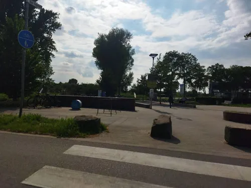
Bloomgold
Restaurant · French, International · 0.8 km
2 Zollstraße, Monheim am Rhein
Tu-Fr 17:00-22:00; Sa 09:30-17:30; Su 09:30-15:00
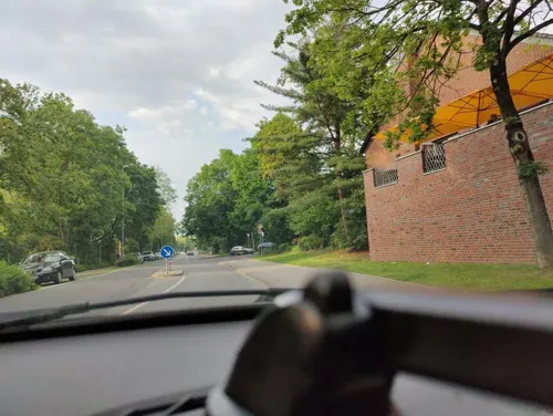
Blue Moon
Restaurant · Asian, Sushi · 0.8 km
7 Freiheit, Monheim am Rhein
Mo-Th 12:00-15:00,17:00-22:00; Fr-Sa 12:00-23:00; Su,PH 12:00-22:00
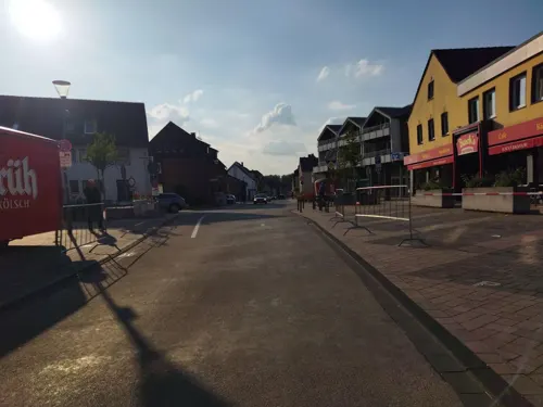
Chopsticks
Restaurant · Asian · 2.8 km
56 Hauptstraße, Monheim am Rhein
Mo,We-Sa 11:00-15:00,17:00-22:00; Su,PH 12:00-22:00
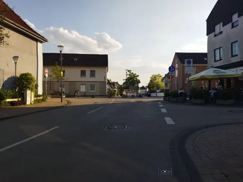
Dionysos im Rheinischen Hof
Restaurant · Greek · 2.7 km
36 Hauptstraße, Monheim am Rhein
Mo,We,Th 16:30-23:00, Fr,Sa 16:30-24:00, Su 12:00-23:00

Bayram Sofrasi
Restaurant · Turkish · 0.6 km
10 Ernst-Reuter-Platz, Monheim am Rhein
Tu-Su 11:00-22:00

Beanlab Kaffeerösterei Monheim
Cafe · Cake
21 Krummstraße
Mo-Tu off; We-Fr 10:30-18:00; Sa-Su 10:00-17:00
Cafe Extrablatt
Cafe · Coffee Shop
29 Ingeborg-Friebe-Platz, Monheim am Rhein
Mo-Sa 08:30-23:00; PH,Su 09:00-24:00

Eiscafé Cristallo
Ice cream · Ice Cream · 4.0 km
38 Hauptstraße, Langenfeld (Rheinland)
Mo-Sa 10:00-19:00; Su 12:00-17:00
Haus Dick
Restaurant · German, Regional · 2.8 km
26 Piwipper Straße, Dormagen
We-Th 17:00-22:00; Fr-Sa 17:00-00:00; Su 17:00-22:00
Haus Hitdorf
Cafe · Cake · 3.7 km
209 Hitdorfer Straße, Leverkusen
Mo-Fr 08:00-19:00; PH,Sa,Su 09:00-18:00
Korfu Paleo
Restaurant · Greek · 3.4 km
15 Baumberger Straße, Langenfeld
Mo, Tu, Th, Fr, Sa 16:00-21:00; Su, PH 12:00-20:00; We off
194 more on the map.
History
Monheim has approximately 850 years of recorded history. It was first documented in 1150 as a fishermen's village in the Grafschaft (Earldom) Berg. It became the administrative centre for the surrounding villages (including many of the villages that now form Düsseldorf) in 1363, and stayed in that position until Napoleon formed the Rhine Confederation in 1806. Monheim, Baumberg and Hitdorf were then combined into a municipal corporation. Monheim gained city status in 1960, ten years after it finally incorporated the neighbouring villages Baumberg and Hitdorf. At the end of 1974 Monheim was incorporated by Düsseldorf as part of a major municipal corporation reform. After a successful complaint in the federal state's constitutional court in Münster, the city became independent again on 1 July 1976, but lost Hitdorf to Leverkusen. Since 1994 the official city name has been Monheim am Rhein.
From the History section of Monheim am Rhein on Wikipedia, under CC BY-SA 4.0.
Notable people from Monheim am Rhein
 Winrich von KniprodeGerman noble (1310-1382)Photo: Lestat (Jan Mehlich), CC BY-SA 2.5
 Emma BadingGerman actressPhoto: Martin Kraft, CC BY-SA 4.0
 Karl BormannGerman philosopher (1928-2015)Photo: Raimond Spekking, CC BY-SA 4.0
- Hester JonasGerman midwife and cunning woman (c. 1570 – 1635)
- Andreas KaiserGerman footballer
- Reiner HeugabelGerman amateur wrestler
- Erich SecklerGerman footballer
Born in Monheim am Rhein, according to Wikidata (CC0). Each name links to its Wikipedia article.
Where to stay16
Achat Comfort Hotel
Motel and hotel · 0.6 km
1 Delitzscher Straße, Monheim am Rhein
Rheinländer Seehotel
Motel and hotel · 3.5 km
168 Langenfelder Straße, Leverkusen
Churches and places of worship38
Shopping55
Gas and EV charging13
Freie Tankstelle H&B Brinkschulte GmbH & Co. KG
Gas station · 3.6 km
105 Langenfelder Straße, Leverkusen
Schools, colleges and libraries29
Öffentliche Bücherei der katholischen Kirchengemeinde St. Josef und Martin (KÖB)
Library · 3.7 km
25 Treibstraße, Langenfeld
Healthcare23
Map of Monheim am Rhein
250 places. The map loads OpenStreetMap tiles when you open it.
Getting there and nearby towns
Düsseldorf Airport (DUS) is the nearest airport with scheduled flights listed in OpenStreetMap, 23 km away.
- Dormagen 4 km west, about 4 min by car
- Langenfeld 4 km northeast, about 4 min by car
- Zons 5 km northwest, about 5 min by car
- Opladen 8 km east, about 8 min by car
- Leverkusen 9 km southeast, about 9 min by car
- Hilden 9 km north, about 9 min by car
- Leichlingen 9 km east, about 9 min by car
- Pulheim 12 km southwest, about 12 min by car
- Haan 14 km northeast, about 14 min by car
- Düsseldorf 17 km northwest, about 17 min by car
Drive times are estimates from straight-line distance, not routes.
Towns near Monheim am Rhein


Keep exploring
Local news
Headlines from INDB.
Reviews, tips and questions
Loading what members have shared...
Sources and licences
- GeoNames (CC BY 4.0): population, coordinates, regions and time zone
- Mapillary (see each image): photos
- OpenStreetMap contributors (ODbL 1.0): places, airports, map data
- Wikidata (CC0 1.0): elevation, founding date, time zone, website, landmarks and historic places
- Wikimedia Commons (see each image): photos
- Wikipedia (CC BY-SA 4.0): overview and history text
Photo credits
- Grabenstraße 30 (Monheim am Rhein), DiAuras, CC BY-SA 4.0
- Monheim am Rhein, Schelmenturm, 2013-02 CN-03, kaʁstn Disk / Cat, CC BY-SA 3.0 de
- Monheim am Rhein, Schelmenturm, 2013-02 CN-02, kaʁstn Disk / Cat, CC BY-SA 3.0 de
- Monheim am Rhein (DE), Schelmenturm -- 2015 -- 1448, Anıl Öztaş, CC BY-SA 4.0
- Monheim am Rhein, Schelmenturm, 2013-02 CN-01, kaʁstn Disk / Cat, CC BY-SA 3.0 de
- Monheim am Rhein, Marienburgpark, 2013-02 CN-03, kaʁstn Disk / Cat, CC BY-SA 3.0 de
- Monheim am Rhein, Marienburgpark, 2013-02 CN-02, kaʁstn Disk / Cat, CC BY-SA 3.0 de
- Monheim am Rhein, Marienburgpark, 2013-02 CN-01, kaʁstn Disk / Cat, CC BY-SA 3.0 de
- Monheim am Rhein, St. Gereon, 2013-02 CN-01, kaʁstn Disk / Cat, CC BY-SA 3.0 de
- Freiheit 2 (Monheim am Rhein) (3), DiAuras, CC BY-SA 4.0
- Monheim am Rhein, Alter Markt, 2013-02 CN-01, kaʁstn Disk / Cat, CC BY-SA 3.0 de
- Monheim am Rhein, Schildgesgasse, 2013-02 CN-02, kaʁstn Disk / Cat, CC BY-SA 3.0 de
- Monheim am Rhein, Schildgesgasse, 2013-02 CN-01, kaʁstn Disk / Cat, CC BY-SA 3.0 de
- Monheim am Rhein, Schildgesgasse, 2013-02 CN-03, kaʁstn Disk / Cat, CC BY-SA 3.0 de
- Monheim am Rhein, Marienburg, 2013-02 CN-01, kaʁstn Disk / Cat, CC BY-SA 3.0 de
- 2021-02-21 Flowers in Monheim am Rhein, Velopilger, CC BY-SA 4.0
- Monheim am Rhein, Zollstraße, 2013-02 CN-01, kaʁstn Disk / Cat, CC BY-SA 3.0 de
- Monheim am Rhein, Zollstraße, 2013-02 CN-02, kaʁstn Disk / Cat, CC BY-SA 3.0 de
- Worringerbruch03, A.Savin, CC BY-SA 3.0
- LEV-Hitdorf Antoniuskapelle, A.Savin, CC BY-SA 3.0
- Burg Friedestrom Kernburg Westseite, Sir Gawain, CC BY-SA 3.0
- Monheim am Rhein, Haus Bürgel, 2013-02 CN-04, kaʁstn Disk / Cat, CC BY-SA 3.0 de
- Kölner Randkanal, Duhon, CC BY 3.0
- Zons Burg Friedestrom Herrenhaus 49, GFreihalter, CC BY-SA 3.0
- Monheim am Rhein, Schloss Laach, 2013-02 CN-01, kaʁstn Disk / Cat, CC BY-SA 3.0 de
- LEV-Hitdorf Stephanuskirche, A.Savin, CC BY-SA 3.0
- Stadtbibliothek Dormagen (28240914915), Fachstelle für Öffentliche Bibliotheken NRW, CC BY 2.0
- Zons StMartinu from South, Beckstet, CC BY-SA 3.0
- Friedenskirche Baumberg - Winter, Peter Becker, CC BY 4.0
- 2017-10-08-NSG Urdenbacher Altrhein-Blick Richtung Kämpe-mit der Srömung, Daskupa, CC BY-SA 4.0
- NSG Altabgrabung Klingenberger-4, Velopilger, CC0
- NSG Am Kirberger Loch (14), DiAuras, CC BY-SA 4.0
- NSG Rheinufer Monheim ME-031 (4), DiAuras, CC BY-SA 4.0
- Friedenskirche (Köln-Worringen) (5a), Chris06, CC BY-SA 4.0
- Christuskirche (Dormagen) (6), Chris06, CC BY-SA 4.0
- Zons Freilichtbuehne 01, gheeke, CC BY-SA 2.0
- Burg Friedestrom Vorburg Herrenhaus Suedseite 02, Sir Gawain, CC BY-SA 3.0
- 4.71 Wohn- und Geschäftshaus, Turmstraße 2 (Zons), Käthe u. Bernd Limburg, www.limburg-bernd.de, CC BY-SA 3.0 de
- Zons, Pfefferbüchsen (eine von zwei) 2008 c, Michael Reschke, CC BY-SA 3.0
- NSG Altabgrabung Klingenberger-3, Velopilger, CC0
- NSG Am Kirberger Loch (23), DiAuras, CC BY-SA 4.0
- Naturschutzgebiet in Monheim, Kularymineto, CC BY-SA 3.0
- Langel Aue im Winter-CN, Langel_Aue_im_Winter.jpg : Hilberts 25. Problem derivative work: kaʁstn Disk / Cat, CC BY-SA 3.0
- NSG Rheinaue Zons-Rheinfeld und Altrheinschlinge Zons - Luftaufnahme-0068, Raimond Spekking, CC BY-SA 4.0
- NSG Rheinufer Monheim ME-031 (6), DiAuras, CC BY-SA 4.0
- NSG Urdenbacher Altrhein und Baumberger Aue (3), DiAuras, CC BY-SA 4.0
- 0.10 (1)Pfarrkirche, Hubertusstraße 1a (Zons), Käthe u. Bernd Limburg, www.limburg-bernd.de, CC BY-SA 3.0 de
- Dormagen StMichael-2, Dormagen_StMichael.jpg : de:User:Senfi derivative work: Rabanus Flavus ( talk ), CC BY-SA 2.0 de
- Marienburg Frontansicht (1 of 1), Aldebaraner, CC BY-SA 4.0
- Deusser-Haus, noebse, CC BY-SA 3.0
- Street-level photo, poxonline, CC BY-SA 4.0
- Street-level photo, changchun1, CC BY-SA 4.0
- Street-level photo, changchun1, CC BY-SA 4.0
- Street-level photo, changchun1, CC BY-SA 4.0
- Street-level photo, mfa, CC BY-SA 4.0
- Street-level photo, changchun1, CC BY-SA 4.0
- Street-level photo, changchun1, CC BY-SA 4.0
- Street-level photo, mfa, CC BY-SA 4.0
- Street-level photo, VIA_KK, CC BY-SA 4.0
- Street-level photo, VIA_KK, CC BY-SA 4.0
- Street-level photo, TechniPorter, CC BY-SA 4.0
- Street-level photo, changchun1, CC BY-SA 4.0
- Street-level photo, poxonline, CC BY-SA 4.0
- Street-level photo, raymond, CC BY-SA 4.0
- Street-level photo, poxonline, CC BY-SA 4.0


Page built November 9, 2026. Spotted a mistake? Tell us or suggest a place.