


Why visit Pulheim
Townapedia lists 47 museums and landmarks, 89 parks and trails, 219 places to eat, 15 places to stay and 14 attractions in and around town.
Highlights include Bühne der Kulturen, Der kleine Hofladen Sinnersdorf, Heimatmuseum Stommeln and Fort IV.
Weather in Pulheim
Forecast from MET Norway (CC BY 4.0). Full forecast
About Pulheim
Pulheim (German pronunciation: [ˈpʊlhaɪm] ; Ripuarian: Pullem) is a town in the Rhein-Erft-Kreis, North Rhine-Westphalia, Germany.
From the Wikipedia article Pulheim (this version), under CC BY-SA 4.0.
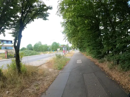
Photos of Pulheim


Things to do14

Bühne der Kulturen
Cinema and theater · 9.2 km
Intercultural theatre in Cologne, Germany

Der kleine Hofladen Sinnersdorf
Farm and orchard · 2.7 km
28 Stommelner Straße, Pulheim
Mo, We-Fr 08:00-11:45, 12:45-18:00; Sa 08:00-18:00; Su 10:00-15:00


Blick auf Köln Schlittberg
Scenic view · 6.3 km
Wunderschöner Blick aus der Ferne auf Köln mit guter Sicht auf die Skyline, u.a. Colonius und Dom
2 more on the map.
Museums and landmarks47
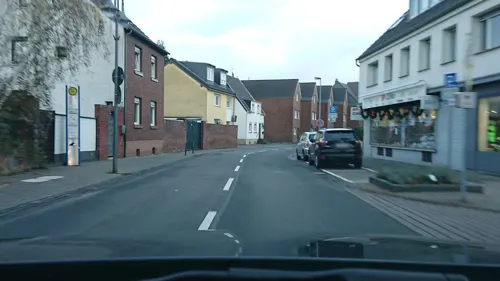


Zwischenwerk IIb
Monument and historic site · 6.3 km
Zwischenwerk IIb (ehem.) Äußerer Festungsring

Zwischenwerk IIIb
Monument and historic site · 5.1 km
Zwischenwerk IIIb, Benutztes Bauwerk, Äußerer Festungsring
2 Buschweg, Köln

Peter von Fliesteden
Monument and historic site · 4.6 km
1529 als Märtyrer der Reformation in Köln hingerichtet


Wegkreuz Oster
Monument and historic site · 5.6 km
Helles Kreuz mit offener Ädikula und dunkler Christusfigur auf Sockel mit Inschrift


Matthias Pingen
Monument and historic site · 5.8 km
Gedenkkreuz in Erinnerung an den hier 1931 im Streit erschlagenen Gutsbesitzer Mathias Pingen
35 more on the map.
Parks, trails and playgrounds89

Orrer Wald und Große Laache
Hiking and trails · 1.9 km
Versickerung des Pulheimer Bachs zur Trinkwassergewinnung

Baadenberger Senke, Stöckheimer See und Große Laache
Hiking and trails · 3.3 km





Leo's Abenteuerpark
Playground · 1.2 km
2a Siemensstraße, Pulheim
Mo-Fr 10:00-20:00; Sa-Su 09:00-20:00
77 more on the map.
Restaurants and cafes219
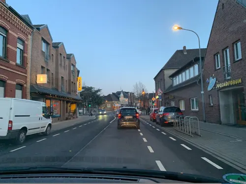
Bäckerei Flock
Bakery · 4.0 km
577 Venloer Straße, Pulheim
Mo-Fr 05:30-18:30; Sa 05:30-12:00; Su 07:00-12:00
Heuwägelchen
Restaurant · Regional · 4.0 km
Themenparty jeden 1. und 3. Sa im Monat; Sky-Sport public viewing
73 Hauptstraße, Pulheim
Mo 00:00-01:00; Tu 16:00-24:00; We,Th 00:00-01:00,16:00-24:00; Fr...
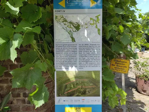
Beckmanns
Restaurant · American, German, Salad · 4.9 km
4 Freimersdorfer Weg, Köln
Tu-Sa 17:00-22:00; Su 10:00-14:00; Mo off
China Restaurant Lee
Restaurant · Chinese · 0.6 km
145 Venloer Straße, Pulheim
Mo-Sa 11:30-15:00, 17:30-23:00; Su 11:30-23:00
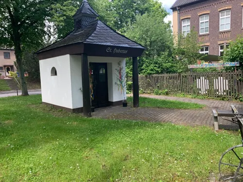
Im Schieffer's
Bar and pub · German · 3.5 km
37 Brauweilerstraße, Pulheim
Mo,We,Th,Fr,Sa 17:00+; Su 12:00-14:30; Tu off
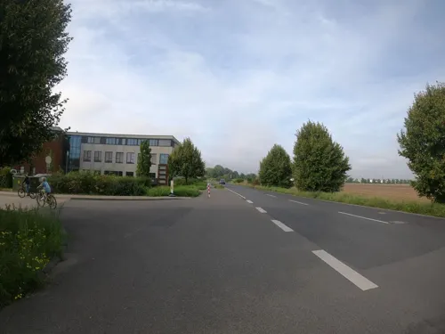
L'Osteria
Restaurant · Italian · 5.8 km
52 Zusestraße, Köln
Mo-Th,Su,PH 11:00-23:00; Fr,Sa 11:00-24:00
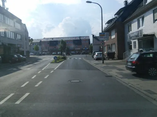
Mangia Bene
Restaurant · Pizza · 4.3 km
24 Hauptstraße, Köln
Tu-Fr 11:30-15:00,17:00-21:00; Sa-Su 15:00-22:00; PH 15:00-22:00; Mo off

Hotel-Restaurant Goebels
Restaurant · German · 4.0 km
1 Kirchgasse, Köln
Su 16:00-20:00; Mo-Sa 17:00-22:00; Th off
207 more on the map.
More about Pulheim
Education
Community Primary School “Am Buschweg”, formerly known as “Am Wäldchen”, Pulheim
Papst-Johannes XXIII-Schule (Italian: Scuola Papa Giovanni XXIII; "Pope John XXIII School") (high school), Pulheim-Stommeln
School for Handicapped Donatus-School (primary and high school), Pulheim-Brauweiler
From the Wikipedia article Pulheim, under CC BY-SA 4.0.
Notable people from Pulheim
 Florian WirtzGerman association football player (born 2003)Photo: Bryan Berlin, CC BY-SA 4.0
 Angelina MaccaroneGerman film director and screenwriterPhoto: Yann Caradec from Paris, France, CC BY-SA 2.0
 Juliane WirtzGerman footballer (born 2001)Photo: El Loko, CC BY 4.0
- Willy DeckerGerman opera director
- Toli KoltuniewiczAustralian basketball player
- Regina IseckeGerman wheelchair tennis player and basketball player
- Volker StruthGerman football agent
Born in Pulheim, according to Wikidata (CC0). Each name links to its Wikipedia article.
Where to stay15
Churches and places of worship39
St. Cosmas u. Damian (alte Kirche)
Church · Catholic · 6.1 km
10 Keimesstraße, Köln
Shopping56
Gas and EV charging17
Schools, colleges and libraries50
Healthcare17
Map of Pulheim
250 places. The map loads OpenStreetMap tiles when you open it.
Getting there and nearby towns
Cologne Bonn Airport (CGN) is the nearest airport with scheduled flights listed in OpenStreetMap, 28 km away.
- Frechen 9 km south, about 9 min by car
- Rommerskirchen 9 km northwest, about 9 min by car
- Dormagen 11 km north, about 11 min by car
- Monheim am Rhein 12 km northeast, about 12 min by car
- Köln 12 km southeast, about 12 min by car
- Leverkusen 13 km east, about 13 min by car
- Bergheim 13 km southwest, about 13 min by car
- Hürth 15 km south, about 15 min by car
- Zons 14 km north, about 14 min by car
- Langenfeld 16 km northeast, about 16 min by car
Drive times are estimates from straight-line distance, not routes.
Towns near Pulheim


Keep exploring
Local news
Headlines from INDB.
Reviews, tips and questions
Loading what members have shared...
Sources and licences
- GeoNames (CC BY 4.0): population, coordinates, regions and time zone
- Mapillary (see each image): photos
- OpenStreetMap contributors (ODbL 1.0): places, airports, map data
- Wikidata (CC0 1.0): elevation, founding date, time zone, website, landmarks and historic places
- Wikimedia Commons (see each image): photos
- Wikipedia (CC BY-SA 4.0): overview and history text
Photo credits
- AltesRathausPulheim, User Harald Hillemanns on de.wikipedia, CC BY-SA 3.0
- Pulheim Johannisstr 31, Pappnaas666, CC BY-SA 3.0
- Pulheim Johannisstr 8, Pappnaas666, CC BY-SA 3.0
- Pulheim Canishof, Pappnaas666, CC BY-SA 3.0
- Pulheim-Brauweiler-, Regerman, CC BY-SA 4.0
- Pulheim Zanderhof, Pappnaas666, CC BY-SA 3.0
- Pulheim Bildstock Jakobstr, Pappnaas666, CC BY-SA 3.0
- Barbarakapelle Pulheim, Wueber, CC BY-SA 4.0
- Pulheim zur alten Wassermühle 2, Pappnaas666, CC BY-SA 3.0
- Pulheim Lindenkreuz, Pappnaas666, CC BY-SA 3.0
- Pulheim Muehle Bergheimerstr 29, Pappnaas666, CC BY-SA 3.0
- Pulheim Burgus II-008, Pappnaas666, CC BY-SA 3.0
- Pulheim roem Siedlungsplatz Steinacker II⁄011, Pappnaas666, CC BY-SA 3.0
- Arkadaş Theater, Köln-5172, Raimond Spekking, CC BY-SA 4.0
- Worringerbruch03, A.Savin, CC BY-SA 3.0
- Deutsche Sporthochschule Köln, Haupteingang, Duhon, CC BY 3.0
- Panorama-fort-xs, Travus ( talk ), CC BY-SA 3.0
- Arff (V-0296), Velopilger, CC BY-SA 4.0
- Sankt Martinus Pulheim Sintern, Tohma ( talk ), CC BY-SA 4.0
- Christi Geburt, Köln-Bocklemünd-Mengenich - 0460, Elke Wetzig, CC BY-SA 4.0
- St. Jakobus (Köln-Widdersdorf) (03), Chris06, CC BY-SA 4.0
- St. Johannes vor dem Lateinischen Tore (Köln-Bocklemünd) (1), Chris06, CC BY-SA 4.0
- Kirche Schmerzhafte Mutter Maria (Köln-Lindweiler) (3), Chris06, CC BY-SA 4.0
- Evangelisches Gemeindezentrum Köln-Pesch (3), Chris06, CC BY-SA 3.0
- Evangelisches Gemeindehaus Unter Gottes Gnaden, Köln-Widdersdorf - 0448, Elke Wetzig, CC BY-SA 4.0
- Alt St. Cosmas und Damian (Weiler)1, Chris06, CC0
- Äußerer Festungsring Köln, Fort IV, Bocklemünd Freimersdorfer Weg Nordflügel, HOWI - Horsch, Willy, CC BY 3.0
- St. Simeon (Fliesteden) (01), Chris06, CC BY-SA 4.0
- Kreuzkirche Stommeln (2a), Chris06, CC BY-SA 4.0
- Abteikirche St. Nikolaus der Abtei Brauweiler-0069, Raimond Spekking, CC BY-SA 4.0
- Friedenskirche Sinnersdorf (1), Chris06, CC BY-SA 3.0
- Papst-Johannes-XXIII.-Schule 2023-10-02, Paintdog, CC BY-SA 4.0
- Festungsring Koeln FortIIIb, Markus Schweiss, CC BY-SA 3.0
- Wegkreuz Oster DSCN2071, Domspetz, CC BY-SA 4.0
- Kleiner Weiher am Pulheimer Bach in der Großen Laache, Herzcasper, CC BY-SA 4.0
- 2016-10-30-Stöckheimer See-0071, Superbass, CC BY-SA 4.0
- Chorbusch (V-0329), Velopilger, CC BY-SA 4.0
- Naturschutzgebiet Kernzone Ommelstal, Thoroe, CC BY-SA 3.0 de
- St. Simeon, Bergheim-Fliesteden, Hippie Bug93, CC BY-SA 3.0
- Friedenskirche Sinnersdorf (4), Chris06, CC BY-SA 4.0
- Gedenkstein1, Factumquintus, CC BY-SA 3.0
- Simultanhalle Köln-Volkhoven 2010-1, Elke Wetzig ( Elya ), CC BY-SA 3.0
- Street-level photo, noel, CC BY-SA 4.0
- Street-level photo, thobet, CC BY-SA 4.0
- Street-level photo, countzero5, CC BY-SA 4.0
- Street-level photo, thobet, CC BY-SA 4.0
- Street-level photo, noel, CC BY-SA 4.0
- Street-level photo, VIA_KK, CC BY-SA 4.0
- Street-level photo, thobet, CC BY-SA 4.0
- Street-level photo, noel, CC BY-SA 4.0
- Street-level photo, viakoeln, CC BY-SA 4.0
- Street-level photo, amegaz, CC BY-SA 4.0
- Street-level photo, VIA_KK, CC BY-SA 4.0
- Street-level photo, raymond, CC BY-SA 4.0
- Street-level photo, rstcologne, CC BY-SA 4.0
- Street-level photo, countzero5, CC BY-SA 4.0
- Street-level photo, raymond, CC BY-SA 4.0
- Street-level photo, themartinix, CC BY-SA 4.0
- Street-level photo, diamantmapper, CC BY-SA 4.0
- Street-level photo, VIA_KK, CC BY-SA 4.0
- Street-level photo, Pipeline, CC BY-SA 4.0
- Street-level photo, VIA_KK, CC BY-SA 4.0
- Street-level photo, diamantmapper, CC BY-SA 4.0
- Street-level photo, thobet, CC BY-SA 4.0
- Street-level photo, thobet, CC BY-SA 4.0
- Street-level photo, countzero5, CC BY-SA 4.0


Page built November 9, 2026. Spotted a mistake? Tell us or suggest a place.