


Why visit Wiesmoor
Townapedia lists 15 museums and landmarks, 34 parks and trails, 41 places to eat, 7 places to stay and 4 attractions in and around town.
Highlights include Freilichtbühne Wiesmoor, Eingang und Fehnkneipe, Torf- und Siedlungsmuseum and Amerika-Platz.
Weather in Wiesmoor
Forecast from MET Norway (CC BY 4.0). Full forecast
About Wiesmoor
Wiesmoor (German pronunciation: [ˈviːsˌmoːɐ̯] ) is a town in the district of Aurich in the northwest of Lower Saxony. It lies on the Nordgeorgsfehnkanal and is the youngest town in the East Frisia area having been bestowed town rights on 16 March 2006, two days later on 18 March 2006, Wiesmoor celebrated the Centenary of the settlement's founding. The town owes its growth to the industrialisation of the harvesting of peat from the surrounding moors. Wiesmoor holds an annual flower festival and the town is also known as the ‘Flower City’, the name originates from the large numbers of flowers which are grown in the town’s industrial greenhouse.
From the Wikipedia article Wiesmoor (this version), under CC BY-SA 4.0.
Things to do4

Freilichtbühne Wiesmoor
Cinema and theater · 1.5 km
Veranstaltungsort vom Blütenfest und verschiedenen Musikveranstaltungen. Beispielsweise das Planet-Future-Festival, Schlagervestivals, …

Museums and landmarks15


Blumenreich - Blumenhalle & Gartenpark
Monument and historic site · 0.6 km
Mar 15-Oct 15 Mo-Su 10:00-19:00


3 more on the map.
Parks, trails and playgrounds34





22 more on the map.
Restaurants and cafes41
Heidekrug Bentstreek
Restaurant · German · 7.2 km
19 Bentstreeker Straße, Friedeburg
We-Th 17:00-22:00; Fr-Su 11:00-22:00

Melkhuus Friedeburg Hopels
Restaurant · Regional · 3.9 km
51 Hopelser Straße, Friedeburg
Fr-Sa 11:30-18:30, Su 09:00-18:30
Pizzeria Tulipano
Restaurant · Italian
158 Hauptstraße, Wiesmoor
Mo-Th 12:00-14:00,17:00-22:00; Fr 12:00-14:00,17:00-23:00; Sa...
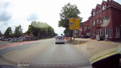
Pizzino
Restaurant · Italian
189 Hauptstraße, Wiesmoor
Tu - Fr 11:30-24:00; Sa 16:00-24:00; Su 11:30-24:00
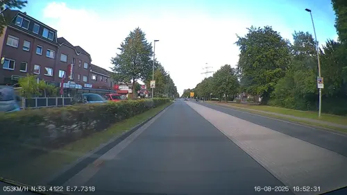
Restaurant Torero
Restaurant · Spanish
196 Hauptstraße, Wiesmoor
Mo-Sa 17:30-22:30; Su 12:00-14:30,17:30-22:30
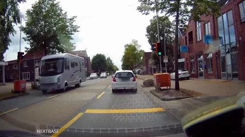
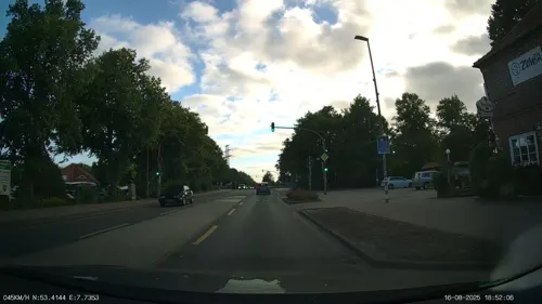


La Trattoria
Restaurant · Mediterranean · 0.6 km
Tu-Th 11:30-14:30, 17:00-22:30, Fr-Sa 11:30-14:30, 17:00-23:00, Su...

Ali Baba
Restaurant · Turkish
2 Kornblumenweg, Wiesmoor
Tu-Su 12:00-14:00, 17:00-21:00
29 more on the map.
History
The bog area around Wiesmoor remained mostly uninhabited for a long time. The earliest records for the presence of people are a Stone Age axe and an earthen vessel from the pre-Roman Iron Age that were discovered in Marcardsmoor. These items likely belonged to someone who drowned in the bog rather than an indication of a durable settlement. In the bog in Wilhelmsfehn, a neck ring from around 700 BCE has also been found. In 1999 a bronze hatchet which dated to the middle of the Bronze Age was discovered amongst rubbish in Ostgroßefehn. The hatchet is unique to East Frisia and it was likely disposed of in the bog rather than originating in the area.
In 1633 colonisation of the bog area surrounding Wiesmoor began, however by 1880, there were still only around 100 inhabitants living within the current city area. At the beginning of the 20th century plans were drawn up by Dr. Eberhard Ramm from the Prussian Ministry of Agriculture to begin industrial harvesting of peat from the bogs, this would be done using large machinery rather than the traditional methods of spades and hoes. Further to this Dr. Ramm, in co-operation with Carl Friedrich von Siemens, also planned to construct a new peat burning power plant in the area.
From the History section of Wiesmoor on Wikipedia, under CC BY-SA 4.0.
Where to stay7
Churches and places of worship9
Auferstehungskirche Ostgroßefehn
Church · Lutheran · 5.7 km
161A Kanalstraße Süd, Großefehn
Kreuzkiche Marcardsmoor
Church · Lutheran · 5.6 km
217 Wittmunder Straße, Wiesmoor
Neuapostolische Kirche Ostgroßefehn
Church · New Apostolic · 5.5 km
167 Kanalstraße Süd, Großefehn
Friedeburger Kirche zum guten Hirten
Church · Lutheran · 7.6 km
16 Endelweg, Friedeburg
Shopping18
Gas and EV charging5
Schools, colleges and libraries7
Healthcare5
Map of Wiesmoor
145 places. The map loads OpenStreetMap tiles when you open it.
Getting there and nearby towns
JadeWeserAirport (WVN) is the nearest airport with scheduled flights listed in OpenStreetMap, 23 km away.
- Friedeburg 8 km northeast, about 8 min by car
- Zetel 15 km east, about 15 min by car
- Wittmund 18 km north, about 18 min by car
- Apen 22 km south, about 22 min by car
- Wilhelmshaven 28 km northeast, about 28 min by car
- Ostrhauderfehn 32 km south, about 32 min by car
- Oldenburg 44 km southeast, about 44 min by car
- Bremerhaven 58 km east, about 58 min by car
- Emstek 70 km southeast, about 1 h 15 min by car
- Bremen 81 km southeast, about 1 h 15 min by car
Drive times are estimates from straight-line distance, not routes.
Local news
Headlines from INDB.
Reviews, tips and questions
Loading what members have shared...
Sources and licences
- GeoNames (CC BY 4.0): population, coordinates, regions and time zone
- Mapillary (see each image): photos
- OpenStreetMap contributors (ODbL 1.0): places, airports, map data
- Wikidata (CC0 1.0): elevation, founding date, time zone, website
- Wikimedia Commons (see each image): photos
- Wikipedia (CC BY-SA 4.0): overview and history text
Photo credits
- Ortseingang Wiesmoor msu, Matthias Süßen, CC BY 3.0
- Wiesmoor Friedenskirche, Wikiwal, CC BY-SA 3.0
- KollrungerMoor, Frisia Orientalis, CC BY-SA 3.0
- ChurchMarcardsmoor, Frisia Orientalis, CC BY-SA 3.0
- ChurchOstgroßefehn, Frisia Orientalis, CC BY-SA 3.0
- Torf und Siedlungsmuseum msu9, Matthias Süßen, CC BY 3.0
- NSG Wiesmoor-Klinge, Ul-Si, CC BY-SA 4.0
- 2010 - Versöhnungskirche Ansicht Nordost, Karl-Rainer, CC BY-SA 4.0
- Wiesedermeer Gedenkstein Flurbereinigung, Franz Kalowski, CC BY-SA 4.0
- Torf- und Siedlungsmuseum Wiesmoor, Simplicius, CC BY-SA 3.0
- Naturschutzgebiet Neudorfer Moor, Klinkenborg, CC BY-SA 4.0
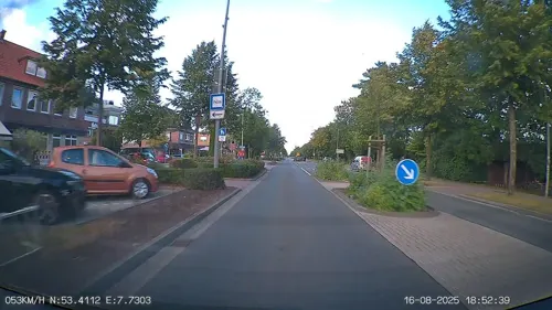
- Street-level photo, heetENkoel, CC BY-SA 4.0
- Street-level photo, derlipper, CC BY-SA 4.0
- Street-level photo, heetENkoel, CC BY-SA 4.0
- Street-level photo, heetENkoel, CC BY-SA 4.0
- Street-level photo, hotteliene, CC BY-SA 4.0
- Street-level photo, derlipper, CC BY-SA 4.0
- Street-level photo, heetENkoel, CC BY-SA 4.0
- Street-level photo, heetENkoel, CC BY-SA 4.0
- Street-level photo, heetENkoel, CC BY-SA 4.0
- Street-level photo, derlipper, CC BY-SA 4.0
- Street-level photo, heetENkoel, CC BY-SA 4.0
- Street-level photo, heetENkoel, CC BY-SA 4.0
- Street-level photo, heetENkoel, CC BY-SA 4.0
- Street-level photo, moenk, CC BY-SA 4.0
- Street-level photo, heetENkoel, CC BY-SA 4.0


Page built November 8, 2026. Spotted a mistake? Tell us or suggest a place.