


Why visit Nackenheim
Townapedia lists 13 museums and landmarks, 17 parks and trails, 56 places to eat, 4 places to stay and 2 attractions in and around town.
Highlights include Hofladen Hedderich, Ortsmuseum Nackenheim, Pfarrei St. Gereon and Kisselwörth und Sändchen.
Weather in Nackenheim
Forecast from MET Norway (CC BY 4.0). Full forecast
About Nackenheim
Nackenheim (German pronunciation: [ˈnakn̩haɪm]) is an Ortsgemeinde – a municipality belonging to a Verbandsgemeinde, a kind of collective municipality – and a winegrowing centre in the Mainz-Bingen district in Rhineland-Palatinate, Germany.
From the Wikipedia article Nackenheim (this version), under CC BY-SA 4.0.
Photos of Nackenheim


Things to do2


Museums and landmarks13
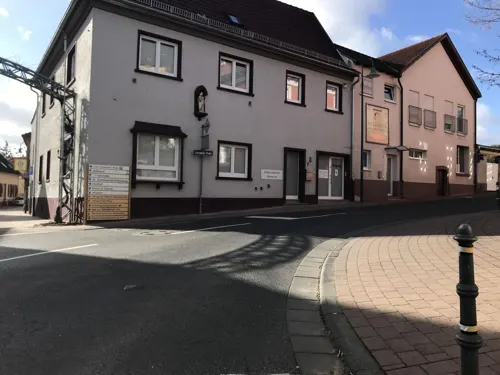
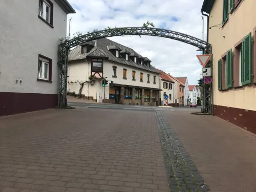



ehem. Generator-/Pumpenhaus
Monument and historic site · 2.1 km
Das Bauwerk gehörte zum Hofgut Hohenaue und wurde um 1900 erbaut. Es beinhaltete eine Dampfmaschine und einen Stromgenerator zum Antrieb...
1 more on the map.
Parks, trails and playgrounds17




Maria-Oberndorf-Spielplatz
Playground · 2.5 km
Mo-Sa 08:00-19:00; Su,PH 08:00-13:00,15:00-19:00

Grillplatz
Park · 1.3 km
Grillen nur in der Grillstelle. Lautsprecheranlagen und Notstromaggregate verboten.

5 more on the map.
Restaurants and cafes56
Wok Sushi Express Bodenheim
Restaurant · Asian · 2.0 km
5 Am Kuemmerling, Bodenheim
Mo-Fr 11:00-14:30,17:00-21:30; Su 12:00-21:30
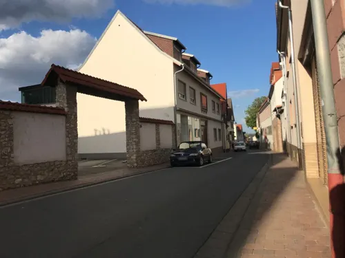
Wein- & Sektgut Sauer
Brewery and winery · 2.6 km
23 Rheinallee
Mo 14:00-18:00; Tu-Fr 10:00-12:00,14:00-18:00; Sa 09:00-16:00
An der Ringerhalle
Restaurant · Pizza
15 Im Brühl, Nackenheim
Tu-Sa 17:00-23:00; Su 11:30-14:30,17:00-23:00; Mo off

Rice Fusion 1990
Restaurant · Japanese, Vietnamese · 0.8 km
19 Pommardstraße, Nackenheim
Tu-Fr 11:00-15:00; Mo-Sa 17:00-23:00; Su 12:00-23:00
Weinhaus May
Restaurant · Regional · 2.8 km
13 Hellmerichstraße, Bodenheim
Jul-Sep: Su 13:00-22:00, Mo-Tu 16:00-22:00
Straußwirtschaft zum Rebstock
Restaurant · 2.7 km
3-5 Kirchbergstraße, Bodenheim
We-Sa 17:00+; Su 15:00+; PH 15:00+
44 more on the map.
History
The actual derivation of the name Nackenheim is not known. One supposition holds that the name goes back to prehistoric Nackenheim and a chieftain named Nacho, yielding a name meaning "Nacho’s Home". Another explanation that has developed in the course of history according to which the name derives from the place's location in the "neck of the mountain" (in German: im Nacken des Berges). Thus far, neither theory has been confirmed.
From the History section of Nackenheim on Wikipedia, under CC BY-SA 4.0.
More about Nackenheim
Geography
Nackenheim lies in Rhenish Hesse near Mainz. It belongs to the Verbandsgemeinde of Bodenheim, whose seat is in the like-named municipality, and is the only Ortsgemeinde in this Verbandsgemeinde that lies right on the Rhine. It is a municipality idyllically set between hillside vineyards on the one side and the Rhine on the other, whose vineyards were first mentioned more than 1,200 years ago. The islands of Kisselwörth (35 ha) and Sändchen cut Nackenheim off from the Rhine's mainstream. The two islands have conservation status and belong to the Rheinauen ("Rhine Floodplains") Habitats Directive area. Formerly, the area was under cultivation, but nowadays, meadow orchards (Streuobstwiesen) are found there. In the course of the Rhine straightening project in the 19th century, Kisselwörth and Sändchen were enlarged with landfill and current control works.
Nackenheim's neighbours are Bodenheim, Nierstein, Lörzweiler and Trebur.
Economy
The Gunderloch Winery is a member of the Verband Deutscher Prädikatseingüter (VDP).
14 km south of Mainz, linked to the Autobahn network by the four-lane Bundesstraße 9.
A landing stage on the Rhine's bank allows passenger ships of all sizes to land.
Cycle paths link Nackenheim with Bodenheim, Mainz and Nierstein. A path between Nackenheim and Lörzweiler was also newly built and opened between autumn 2006 and early 2007.
Arts and culture
Into the 15th century, the village court's and the local administration's official business was being done outdoors under a tree on the lordly estate of Saint Stephen's Monastery, which held the local lordship.
In the 16th century, a town hall was built on the monastery land, before which hereditary homage for the new local lord, the Elector of Mainz, was paid in 1616 by the inhabitants of the "market town (Flecken) of Nackenheim".
This old town hall had to give way in 1751 to a new timber-frame building. The upper floors housed a room for the local court and a consulting room. On the ground floor was found a firefighting equipment room with the leather fire-quenching pails and the calibration master's equipment. His job was to measure the wine casks and certify with a brand stamp that they were calibrated. Moreover, there was a holding cell, locally called the Kittje, where wrongdoers were kept for short periods of time.
From the Wikipedia article Nackenheim, under CC BY-SA 4.0.
Where to stay4
Churches and places of worship8
Kapelle Maria-Oberndorf
Church · Roman Catholic · 2.0 km
Kapellenstraße, Bodenheim
St. Alban
Church · Roman Catholic · 2.6 km
16 Kirchbergstraße, Bodenheim
Evangelisches Gemeindezentrum
Church · Protestant
2 In den Haferwiesen, Nackenheim
Shopping11
Gas and EV charging2
Schools, colleges and libraries4
Healthcare3
Map of Nackenheim
120 places. The map loads OpenStreetMap tiles when you open it.
Getting there and nearby towns
Wiesbaden Army Airfield (WIE) is the nearest airport with scheduled flights listed in OpenStreetMap, 15 km away.
- Trebur 5 km east, about 5 min by car
- Nierstein 5 km south, about 5 min by car
- Ginsheim-Gustavsburg 6 km north, about 6 min by car
- Oppenheim 7 km south, about 7 min by car
- Mainz 9 km northwest, about 9 min by car
- Bischofsheim 9 km north, about 9 min by car
- Rüsselsheim am Main 10 km northeast, about 10 min by car
- Königstädten 10 km northeast, about 10 min by car
- Nieder-Olm 10 km west, about 10 min by car
- Nauheim 10 km northeast, about 10 min by car
Drive times are estimates from straight-line distance, not routes.
Towns near Nackenheim


Local news
Headlines from INDB.
Reviews, tips and questions
Loading what members have shared...
Sources and licences
- GeoNames (CC BY 4.0): population, coordinates, regions and time zone
- Mapillary (see each image): photos
- OpenStreetMap contributors (ODbL 1.0): places, airports, map data
- Wikidata (CC0 1.0): elevation, founding date, time zone, website
- Wikimedia Commons (see each image): photos
- Wikipedia (CC BY-SA 4.0): overview and history text
Photo credits
- Carl-Zuckmayer-Platz in Nierstein, paddy (Patrick-Emil Zörner), CC BY-SA 3.0
- Nackenheim Kirche St. Gereon 2016-02-18-15-57-05, Alexander Hoernigk, CC BY-SA 4.0
- St. Gereon (Nackenheim), Innenansicht 2018, Andreas Polo, CC BY-SA 4.0
- Friedhofskreuz, Nackenheim am Rhein, Andreas Polo, CC BY-SA 4.0
- Nackenheim St. Gereon 20100819, Rudolf Stricker, Attribution
- Gotische Maßwerkfragmente, St. Gereon (Nackenheim), Andreas Polo, CC BY-SA 4.0
- Jesusfigur der Ölberggruppe St. Gereon (Nackenheim), Andreas Polo, CC BY-SA 4.0
- Historisches Uhrwerk, St. Gereon (Nackenheim), Andreas Polo, CC BY-SA 4.0
- St. Maria-Glocke in St. Gereon, Nackenheim, Andreas Polo, CC BY-SA 4.0
- Hl. Bruder Konrad-Glocke, St. Gereon (Nackenheim), Andreas Polo, CC BY-SA 4.0
- St. Josef-Glocke, St. Gereon (Nackenheim), Andreas Polo, CC BY-SA 4.0
- Eckquader mit Bauinschrift (1716), St. Gereon, Nackenheim am Rhein, Andreas Polo, CC BY-SA 4.0
- Oelberg St. Gereon, Nackenheim, Andreas Polo, CC BY-SA 4.0
- Grablegung Christ, Kreuzwegstation St. Gereon (Nackenheim),, Andreas Polo, CC BY-SA 4.0
- Innenansicht St. Gereon (Nackenheim) vor 1978, Andreas Polo, CC BY-SA 4.0
- Nackenheim Stolpersteine Mainzer Straße 15, Alfons Tewes, CC BY-SA 4.0
- Nackenheim Stolperstein Mainzer Straße 15 Gustav Sender, Alfons Tewes, CC BY-SA 4.0
- Nackenheim Stolperstein Mainzer Straße 15 Heinrich Wolff, Alfons Tewes, CC BY-SA 4.0
- Nackenheim Stolperstein Mainzer Straße 15 Betty Sender, Alfons Tewes, CC BY-SA 4.0
- Nackenheim Stolperstein Mainzer Straße 15 Josef Koch, Alfons Tewes, CC BY-SA 4.0
- Nackenheim Stolperstein Mainzer Straße 15 Jakobine Koch, Alfons Tewes, CC BY-SA 4.0
- Nackenheim Stolperstein Mainzer Straße 15 Erna Sender, Alfons Tewes, CC BY-SA 4.0
- Nackenheim Stolperstein Mainzer Straße 15 Selma Wolff, Alfons Tewes, CC BY-SA 4.0
- Nackenheim Stolperstein Mainzer Straße 15 Herbert Wolff, Alfons Tewes, CC BY-SA 4.0
- Nackenheim Stolperstein Mainzer Straße 15 Helmut Wolff, Alfons Tewes, CC BY-SA 4.0
- Nackenheim Stolpersteinlage Mainzer Straße 15, Alfons Tewes, CC BY-SA 4.0
- Nackenheim Wohnhauslage Mainzer Straße 6, Alfons Tewes, CC BY-SA 4.0
- Nackenheim Stolperstein Mainzer Straße 6 Frieda Heumann, Alfons Tewes, CC BY-SA 4.0
- Nackenheim Stolperstein Mainzer Straße 6 Ludwig ´Luvi´ Heumann, Alfons Tewes, CC BY-SA 4.0
- Nackenheim Stolperstein Mainzer Straße 6 Maria Heumann, Alfons Tewes, CC BY-SA 4.0
- Nackenheim Stolpersteine Mainzer Straße 6, Alfons Tewes, CC BY-SA 4.0
- Nackenheim Rathaus 20100819, Rudolf Stricker, Attribution
- Marktplatz Nackenheim, ManuelB701, CC0
- Nackenheim - Neubau am Marktplatz im Bau, ManuelB701, CC0
- Nackenheim - Bushalt Bahnhof, Baustelle, ManuelB701, CC0
- Nackenheim - Bahnhof, neuer Bussteig, ManuelB701, CC0
- Nackenheim Park&Ride + Bike&Ride, ManuelB701, CC0
- Katholische Pfarrkirche St. Alban, Enbodenumer, CC BY-SA 3.0
- Ev. Kirche Bodenheim, Enbodenumer, CC BY-SA 3.0 de
- Katholische Wallfahrtskapelle St. Maria im Oberdorf, Enbodenumer, CC BY-SA 3.0
- Nackenheimer Bergkapelle 2, Stefan Bauer, CC BY-SA 4.0
- Wegekreuz in der Straße "Am Kreuz" in Lörzweiler, Wiemaha, CC BY-SA 4.0
- Naturschutzgebiet Rothenberg, Karsten Ratzke, CC0
- Insel Sändchen - Nackenheim, PM3, CC BY-SA 4.0
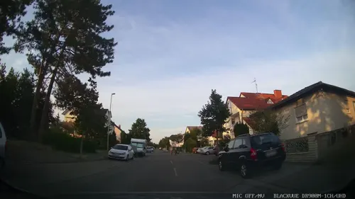
- Street-level photo, miguel_andrade, CC BY-SA 4.0
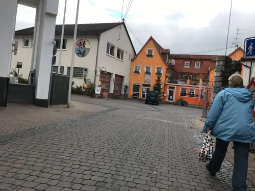
- Street-level photo, chuck, CC BY-SA 4.0
- Street-level photo, miguel_andrade, CC BY-SA 4.0
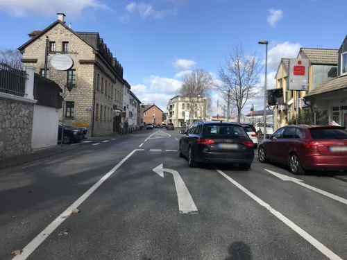
- Street-level photo, changchun1, CC BY-SA 4.0
- Street-level photo, chuck, CC BY-SA 4.0
- Street-level photo, chuck, CC BY-SA 4.0
- Street-level photo, miguel_andrade, CC BY-SA 4.0
- Street-level photo, tasmaniadevil, CC BY-SA 4.0
- Street-level photo, miguel_andrade, CC BY-SA 4.0
- Street-level photo, miguel_andrade, CC BY-SA 4.0
- Street-level photo, chuck, CC BY-SA 4.0
- Street-level photo, chuck, CC BY-SA 4.0
- Street-level photo, miguel_andrade, CC BY-SA 4.0
- Street-level photo, miguel_andrade, CC BY-SA 4.0
- Street-level photo, miguel_andrade, CC BY-SA 4.0
- Street-level photo, miguel_andrade, CC BY-SA 4.0
- Street-level photo, chuck, CC BY-SA 4.0
- Street-level photo, b166er, CC BY-SA 4.0
- Street-level photo, tasmaniadevil, CC BY-SA 4.0
- Street-level photo, miguel_andrade, CC BY-SA 4.0
- Street-level photo, miguel_andrade, CC BY-SA 4.0
- Street-level photo, changchun1, CC BY-SA 4.0
- Street-level photo, miguel_andrade, CC BY-SA 4.0
- Street-level photo, miguel_andrade, CC BY-SA 4.0
- Street-level photo, miguel_andrade, CC BY-SA 4.0


Page built November 9, 2026. Spotted a mistake? Tell us or suggest a place.