


Schwalmstadt, Germany
Schwalmstadt is a town of 19,279 people in Hesse, Germany, founded in 1970.
Why visit Schwalmstadt
Townapedia lists 56 museums and landmarks, 16 parks and trails, 79 places to eat, 10 places to stay and 23 attractions in and around town.
Highlights include Biegeberg, Gerstenberg, Museum der Schwalm and Totenkirche St. Martin.
Weather in Schwalmstadt
Forecast from MET Norway (CC BY 4.0). Full forecast
About Schwalmstadt
Schwalmstadt (German pronunciation: [ˈʃvalmˌʃtat] ) is the largest town in the Schwalm-Eder district, in northern Hesse, Germany. It was established only in 1970 with the amalgamation of the towns of Treysa and Ziegenhain together with some outlying villages to form the town of Schwalmstadt.
From the Wikipedia article Schwalmstadt (this version), under CC BY-SA 4.0.
Things to do23


Burgtheater
Cinema and theater · 3.0 km
1 Heidengasse, Schwalmstadt
11 more on the map.
Museums and landmarks56


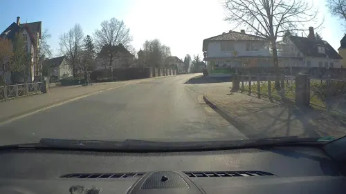
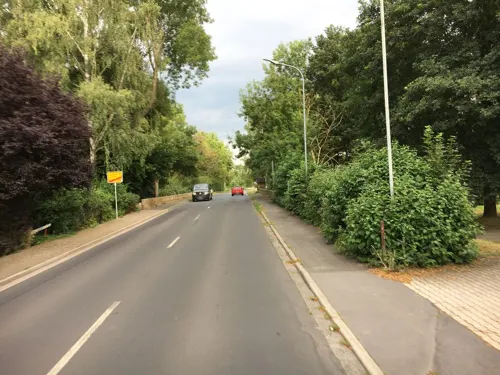
Schloss Loshausen
Monument and historic site · 6.1 km
39 Kasseler Straße, Willingshausen




Gedenkstätte und Museum Trutzhain
Museum · 5.2 km
1 Seilerweg, Schwalmstadt
Maislabyrinth
Monument and historic site · 2.9 km
Jul-Oct sunrise-sunset; Nov-Jun off
Abraham Katzenstein
Monument and historic site · 3.1 km
Wagnergasse, Schwalmstadt
44 more on the map.
Parks, trails and playgrounds16

Flachsrasen bei Dittershausen
Hiking and trails · 1.2 km
Wiesen um eine ehemalige Teichanlage, mit Waldstreifen, südöstlich von Dittershausen.

Wieragrund von Schwalmstadt
Hiking and trails · 5.9 km
Der Lauf der Wiera mit Feuchtgebieten, Grünland und Wald, zwischen den Orten Treysa und Wiera in Schwalmstadt.







4 more on the map.
Restaurants and cafes79

Restaurant Haus am See
Restaurant · Regional, Burger, German · 7.6 km
14 Seeblick, Neuental
Mo-Su 12:00-22:00

Rosengarten
Restaurant · German · 2.9 km
3 Muhlystraße, Schwalmstadt
Mo 17:30-22:00; Tu-Sa 11:30-14:00; 17:30-22:00; Su 11:30-14:30

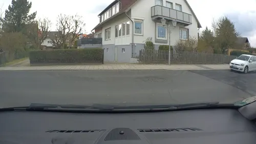
Schwälmer Brotladen - Brotfreunde
Bakery · 3.2 km
44 Wiederholdstraße, Schwalmstadt
Mo-Fr 05:30-18:00; Sa 06:00-17:00; Su 07:00-17:00
Ali Baba
Restaurant · 3.2 km
Döner Kebab und Pizza Imbiss
2 Ascheröder Straße
Mo-Su 11:00-22:00
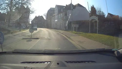
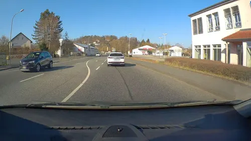
Aphrodite
Restaurant · Greek · 3.4 km
Tu-Sa 11:30-14:00,17:30-22:00; Su 11:30-14:00,17:30-21:00
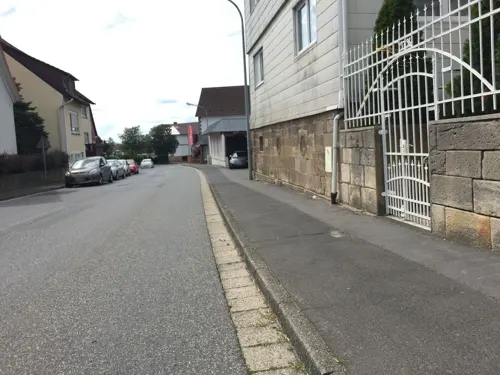


67 more on the map.
History
In the 8th century, Treise was owned by the Abbots of Hersfeld. The Counts of Cigenhagen were named in a document for the first time in 1144. In 1186, Treysa was taken over by the Counts and fortified. Treysa's landmark, the Martinskirche (Church of St. Martin), nowadays known as the Totenkirche (Church of the Dead), was built in 1230. Treysa was granted town rights sometime between 1229 and 1270, and the same rights were bestowed upon Ziegenhain in 1274. After the last Count's death in 1450, the county passed to Hesse.
The Landgraves of Hesse had the castle in Ziegenhain remodelled into a stately home in 1470, and then between 1537 and 1548, Philip I, Landgrave of Hesse had it built into a fortification with a moat.
In August 1945, the proceedings to establish the Evangelical Church in Germany (EKD) took place in Treysa in an event known as the Church Conference of Treysa. The meeting brought about the merger of the Lutheran, Reformed and United state churches. Two further church gatherings in May 1946 and June 1947 tried to start discussion about divergent perceptions of the Eucharist, and also dealt with Denazification.
As part of Hesse's municipal reforms, the two towns of Treysa and Ziegenhain, along with their outlying villages, were united in 1970 into the Town of Schwalmstadt, and ever since then they have existed only as constituent communities of a larger municipality.
From the History section of Schwalmstadt on Wikipedia, under CC BY-SA 4.0.
Where to stay10
Churches and places of worship30
Shopping20
Gas and EV charging6
Schools, colleges and libraries21
Evangelische Hochschule Darmstadt, Standort Hephata
School · 3.6 km
2 Hermann-Knauel-Straße, Schwalmstadt
Healthcare9
Schwalm - Apotheke
Clinic and pharmacy · 2.9 km
29 Landgraf-Philipp-Straße, Schwalmstadt
Map of Schwalmstadt
250 places. The map loads OpenStreetMap tiles when you open it.
Getting there and nearby towns
Fritzlar Air Base (FRZ) is the nearest airport with scheduled flights listed in OpenStreetMap, 21 km away.
- Borken 13 km north, about 13 min by car
- Stadtallendorf 19 km southwest, about 19 min by car
- Alsfeld 21 km south, about 21 min by car
- Fritzlar 22 km north, about 22 min by car
- Felsberg 27 km northeast, about 27 min by car
- Melsungen 32 km northeast, about 32 min by car
- Lauterbach 35 km south, about 35 min by car
- Rotenburg an der Fulda 36 km east, about 36 min by car
- Schlitz 38 km southeast, about 38 min by car
- Kassel 47 km northeast, about 47 min by car
Drive times are estimates from straight-line distance, not routes.
Local news
Headlines from INDB.
Reviews, tips and questions
Loading what members have shared...
Sources and licences
- GeoNames (CC BY 4.0): population, coordinates, regions and time zone
- Mapillary (see each image): photos
- OpenStreetMap contributors (ODbL 1.0): places, airports, map data
- Wikidata (CC0 1.0): elevation, founding date, time zone, website
- Wikimedia Commons (see each image): photos
- Wikipedia (CC BY-SA 4.0): overview and history text
Photo credits
- Schwalmstadt von Frankenhain, Oliver Deisenroth, CC BY-SA 3.0
- Ascherode (Schwalmstadt) - Kirche (1), Gerold Rosenberg ( talk ) 20:27, 30 July 2014 (UTC), CC BY-SA 3.0
- Museum der Schwalm, Zebradrei, CC BY-SA 3.0
- Reste der Allee im Prinzessingarten bei Jesberg, Armin Schönewolf at German Wikipedia, Public domain
- Schloss Rommershausen, Presse03, CC BY-SA 3.0
- Totenkirche Treysa, No machine-readable author provided. Tkarcher assumed (based on copyright claims)., Public domain
- Trutzhain Wallfahrtskirche, Oliver Deisenroth, CC BY-SA 3.0
- Marktplatz 4, 1, Treysa, Schwalmstadt, Schwalm-Eder-Kreis, GeorgDerReisende, CC BY-SA 4.0
- NSG Biedenbacher Teiche bei Florshain DJI 0550, Michael Wolf ( Webseite ), CC BY-SA 3.0
- Storchenteich Schwertzellsgraben Dez 2024, Tkarcher, CC BY-SA 4.0
- Leistwiesen-bei-Rommershausen-by-Maseltov-1, Maseltov, CC BY-SA 4.0
- Evangelische Stadtkirche Treysa, Oliver Deisenroth, CC BY-SA 3.0
- Schwalmstadt-Rommershausen, ev. Kirche 03, F.baumgarten, CC BY-SA 4.0
- Jesberg-Elnrode, ev. Kirche 01, F.baumgarten, CC BY-SA 4.0
- Frankenhain Kirche, Oliver Deisenroth, CC BY-SA 3.0
- Neuental-Schlierbach, ev. Kirche 05, F.baumgarten, CC BY-SA 4.0
- Panorama Kirche Loshausen, Oliver Deisenroth, CC BY-SA 3.0
- Kirche Neuenhain, Oliver Deisenroth, CC BY-SA 3.0
- Muhlystraße 3, 4, Ziegenhain, Schwalmstadt, Schwalm-Eder-Kreis, GeorgDerReisende, CC BY-SA 4.0
- NSG 1634016 Flachsrasen bei Dittershausen 2021-06-13 g, Baummapper, CC BY-SA 3.0 de
- NSG 1634003 Wieragrund von Schwalmstadt 2022-06-01 a, Baummapper, CC BY-SA 3.0 de
- Spiessturm, DerGrobi, CC BY-SA 4.0
- Street-level photo, poxonline, CC BY-SA 4.0
- Street-level photo, poxonline, CC BY-SA 4.0
- Street-level photo, poxonline, CC BY-SA 4.0
- Street-level photo, poxonline, CC BY-SA 4.0
- Street-level photo, poxonline, CC BY-SA 4.0
- Street-level photo, troher15, CC BY-SA 4.0
- Street-level photo, troher15, CC BY-SA 4.0
- Street-level photo, poxonline, CC BY-SA 4.0
- Street-level photo, poxonline, CC BY-SA 4.0
- Street-level photo, poxonline, CC BY-SA 4.0
- Street-level photo, poxonline, CC BY-SA 4.0
- Street-level photo, poxonline, CC BY-SA 4.0
- Street-level photo, poxonline, CC BY-SA 4.0
- Street-level photo, troher15, CC BY-SA 4.0
- Street-level photo, poxonline, CC BY-SA 4.0
- Street-level photo, poxonline, CC BY-SA 4.0
- Street-level photo, poxonline, CC BY-SA 4.0
- Street-level photo, troher15, CC BY-SA 4.0
- Street-level photo, troher15, CC BY-SA 4.0
- Street-level photo, bahnpirat, CC BY-SA 4.0


Page built November 8, 2026. Spotted a mistake? Tell us or suggest a place.