


Niederwenigern, Germany
Niederwenigern is a town of 5,200 people in North Rhine-Westphalia, Germany.
Why visit Niederwenigern
Townapedia lists 38 museums and landmarks, 4 parks and trails, 40 places to eat, 6 places to stay and 7 attractions in and around town.
Highlights include Freilichtbühne Isenburg, Burg Altendorf, Nikolaus Groß and Burg Isenberg (Isenburg).
Weather in Niederwenigern
Forecast from MET Norway (CC BY 4.0). Full forecast
About Niederwenigern
Hattingen (German pronunciation: [ˈhatɪŋən] ) is a town in the northern part of the Ennepe-Ruhr-Kreis district, in North Rhine-Westphalia, Germany.
From the Wikipedia article Hattingen (this version), under CC BY-SA 4.0.
Things to do7


Museums and landmarks38



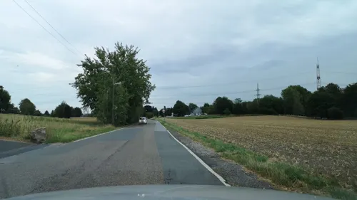
ehem. Schule Oberbyfang
Monument and historic site · 2.3 km
271 Niederweniger Straße, Essen

Haus Custodis
Monument and historic site · 2.1 km
Massivbau aus Sandstein
2 Am Isenberg, Hattingen

Bergbau im Ruhrtal, Flöz Wasserfall
Monument and historic site · 1.7 km
Zur Geschichte des Bergbau im Ruhrtal
Bergbau im Ruhrtal;Lore und Lok
Monument and historic site · 1.8 km
Zur Geschichte des Bergbau im Ruhrtal
24/7


26 more on the map.
Parks, trails and playgrounds4

Burg Isenberg (Isenburg)
Park · 2.1 km
Ruinen einer mittelalterlichen Burganlage, im 13. Jahrhundert zerstört, im 20. Jahrhundert wieder freigelegt
24/7


Spielplatz Am Chursbusch
Playground · 1.6 km
dawn-20:00 open "bis 20 Uhr"; dusk-dawn off "Höchstens bis...
Restaurants and cafes40
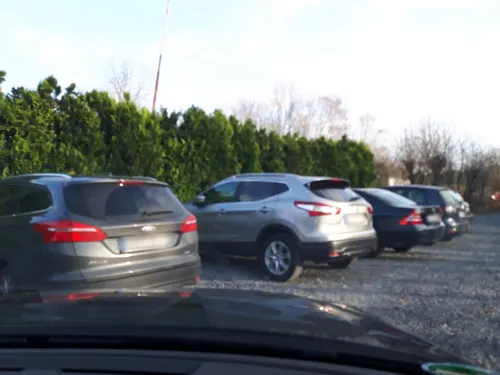
Landhaus Grum
Restaurant · 2.5 km
Küchenzeiten Tu-Sa 11:30-14:00; 18:00-24:00; Su 11:30-14:00; 18:00-21:00, Kaffeezeit: Tu-Su 14:00-17:00
6-8 Ruhrdeich, Hattingen
Tu-Su 11:30-24:00
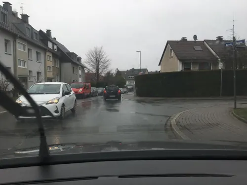
Burgfreund
Restaurant · German, Regional · 1.8 km
2 Burgstraße, Essen
Mo-Su 11:30-21:00, Fr-Su 08:00-11:00

Bäcker Thiele
Bakery · 1.9 km
Kein Ladengeschäft, Verkauf nur in der Backstube. Eingang im Hof.
62 Dahlhauser Straße, Hattingen
Mo-Fr 06:00-09:00; Sa-Su, PH off; Dec 24-Jan 07 off

Europa
Restaurant · Italian, Pasta, Pizza, Salad · 2.1 km
61 Lewackerstraße, Bochum
Mo-Fr 15:00-22:00, Sa,Su,PH 13:00-22:00
Open in Google Maps · +49 234 94 42 97 07; +49 234 976 164 91
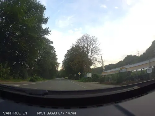
Restaurant Odysseus (zum Deutschen)
Restaurant · Greek · 1.0 km
We-Fr 16:00-22:00; Sa 16:00-23:00; Su 12:00-21:00
Bäckerei Naber
Bakery · 2.5 km
127 Dr.-C.-Otto-Straße, Bochum
Mo-Fr 06:30-18:00; Sa 06:30-13:00; Su 08:00-11:00, 14:00-16:00
Caeser's an der Mühle
Restaurant · 2.3 km
8 Schleusenstraße, Hattingen
Mo, We-Sa 17:00-22:00; Tu, Su off


Vini del Borgo
Brewery and winery · 1.9 km
2 Schwarzensteinweg, Essen
Mo-Fr 12:00-18:00; Sa 12:00-16:00, Su off; PH off
28 more on the map.
History
Hattingen was first mentioned in 1396, when the Count of Mark granted permission to build a city wall. Today, Hattingen has a picturesque historic district with Fachwerk (timber-framed houses) built between the 14th and 16th centuries. The old city is still partly surrounded by the city walls today.
There are three castles remaining within the municipal area of Hattingen. Isenburg Castle was built in the 12th century in the hillsides above the Ruhr. The castle was destroyed in 1225, but prominent ruins remain. Blankenstein Castle was built in the 13th century above the Ruhr river and Haus Kemnade is a moated castle from the 16th century. All three castles are famous tourist landmarks and open to the public.
Hattingen became part of the Hanseatic League in 1554 and became an important trading town. In 1720, there were 52 operating coal mines within the municipal area and Hattingen became one of the first industrial cities of the Ruhr region. Steel production started in 1853, when the Henrichshütte was founded. The Henrichshütte became one of the most important employers of the whole region and dominated the town until it closed in 1987. The Ruhr Valley Railway reached Hattingen in 1869.
In 1970, neighbouring towns like Blankenstein (Ruhr), Welper and Niederwenigern were annexed, growing the city to its current size.
From the History section of Hattingen on Wikipedia, under CC BY-SA 4.0.
Where to stay6
Churches and places of worship6
Shopping8
Gas and EV charging3
Schools, colleges and libraries8
Healthcare6
Map of Niederwenigern
126 places. The map loads OpenStreetMap tiles when you open it.
Getting there and nearby towns
Flughafen Essen-Mülheim (ESS) is the nearest airport with scheduled flights listed in OpenStreetMap, 14 km away.
- Hattingen 3 km east, about 3 min by car
- Wattenscheid 8 km north, about 8 min by car
- Bochum 10 km northeast, about 10 min by car
- Velbert 10 km southwest, about 10 min by car
- Sprockhövel 10 km southeast, about 10 min by car
- Essen 11 km northwest, about 11 min by car
- Gelsenkirchen 12 km north, about 12 min by car
- Heiligenhaus 15 km southwest, about 15 min by car
- Wuppertal 16 km south, about 16 min by car
- Witten 15 km east, about 15 min by car
Drive times are estimates from straight-line distance, not routes.
Local news
Headlines from INDB.
Reviews, tips and questions
Loading what members have shared...
Sources and licences
- GeoNames (CC BY 4.0): population, coordinates, regions and time zone
- Mapillary (see each image): photos
- OpenStreetMap contributors (ODbL 1.0): places, airports, map data
- Wikidata (CC0 1.0): elevation, founding date, time zone, website
- Wikimedia Commons (see each image): photos
- Wikipedia (CC BY-SA 4.0): overview and history text
Photo credits
- Hattingen Niederwenigern - Domplatz - Nikolaus-Groß-Haus 01 ies, Frank Vincentz, CC BY-SA 3.0
- Ev. Kirche in Hattingen-Niederwenigern - panoramio, Edgar El, CC BY 3.0
- Sankt Mauritius in Hattingen-Niederwenigern von Südost - panoramio, giggel, CC BY 3.0
- Sankt Mauritius in Hattingen-Niederwenigern von Süden - panoramio, Edgar El, CC BY 3.0
- Sankt Mauritius in Hattingen-Niederwenigern von Nordwest - panoramio, Edgar El, CC BY 3.0
- Niederwenigern Friedhof - panoramio, HansPeter, CC BY 3.0
- BurgAltendorfWohnturm02, Sir Gawain, CC BY-SA 2.0 de
- Fachhochschule Bochum 2007-08-17, Martin Vogel , Dortmund/Germany, http://www.martinvogel.de/, CC BY-SA 2.0 de
- Ruine Isenburg Hattingen-Niederbonsfeld, André Schäfer, CC BY-SA 2.0
- Hattingen (Isenberg) 02 ies, Frank Vincentz, CC BY-SA 3.0
- St.Mauritius Hattingen- Niederwenigern, J.hagelüken, CC BY-SA 3.0
- Evangelische Kirche Winz-Baak, Hattingen-2304, Raimond Spekking, CC BY-SA 4.0
- BurgAltendorfWohnturmNW02, Sir Gawain, CC BY-SA 2.0 de
- Stolpersteine in Bochum Auf dem Pfade 1 Ernst Ruthmann 355, Hertipau, CC BY 4.0
- Essen-Burgaltendorf, Dumberger Str. 58, Wiki05, CC0
- Herz Jesu Essen-Burgaltendorf, wiki05, Public domain
- Burg Altendorf 2014, Tuxyso, CC BY-SA 3.0
- Hattingen - Isenberg - Isenburg - Custodis 09 ies, Frank Vincentz, CC BY-SA 3.0
- Essen Burgaltendorf - Herz Jesu 01 ies, Frank Vincentz, CC BY-SA 3.0
- NSG EN-010 Ruhraue Hattingen Winz (10), DiAuras, CC BY-SA 4.0
- NSG EN-010 Ruhraue Hattingen Winz (20), DiAuras, CC BY-SA 4.0
- NSG EN-010 Ruhraue Hattingen Winz (21), DiAuras, CC BY-SA 4.0
- NSG EN-010 Ruhraue Hattingen Winz (19), DiAuras, CC BY-SA 4.0
- NSG EN-010 Ruhraue Hattingen Winz (18), DiAuras, CC BY-SA 4.0
- Hattingen – ein Stück davon und Homberg - panoramio, Edgar El, CC BY 3.0
- Ruhrtal bei Winz-Baak, Simplicius, CC BY-SA 3.0
- NSG EN-010 Ruhraue Hattingen Winz (11), DiAuras, CC BY-SA 4.0
- NSG EN-010 Ruhraue Hattingen Winz (12), DiAuras, CC BY-SA 4.0
- NSG EN-010 Ruhraue Hattingen Winz (13), DiAuras, CC BY-SA 4.0
- NSG EN-010 Ruhraue Hattingen Winz (14), DiAuras, CC BY-SA 4.0
- Puccinia menthae 201239090, bjoerns, CC BY-SA 4.0
- Eisenbahnbrücke Hattingen Zugang Winz, DiAuras, CC BY-SA 4.0
- Günther Wiesemann, Frank50921, CC BY-SA 4.0
- Eisenbahnbrücke Hattingen (4), DiAuras, CC BY-SA 4.0
- Eisenbahnbrücke Hattingen (5), DiAuras, CC BY-SA 4.0
- Eisenbahnbrücke Hattingen Blick nach Norden, DiAuras, CC BY-SA 4.0
- NSG EN-010 Ruhraue Hattingen Winz (9), DiAuras, CC BY-SA 4.0
- Haus Custodis (2), DiAuras, CC BY-SA 4.0
- Street-level photo, changchun1, CC BY-SA 4.0
- Street-level photo, heetENkoel, CC BY-SA 4.0
- Street-level photo, hiwi234, CC BY-SA 4.0
- Street-level photo, heetENkoel, CC BY-SA 4.0
- Street-level photo, hiwi234, CC BY-SA 4.0
- Street-level photo, hiwi234, CC BY-SA 4.0
- Street-level photo, changchun1, CC BY-SA 4.0
- Street-level photo, uwekoch, CC BY-SA 4.0
- Street-level photo, uwekoch, CC BY-SA 4.0
- Street-level photo, hiwi234, CC BY-SA 4.0
- Street-level photo, changchun1, CC BY-SA 4.0
- Street-level photo, hiwi234, CC BY-SA 4.0
- Street-level photo, hiwi234, CC BY-SA 4.0
- Street-level photo, bravewaffle, CC BY-SA 4.0
- Street-level photo, bravewaffle, CC BY-SA 4.0
- Street-level photo, uwekoch, CC BY-SA 4.0
- Street-level photo, bravewaffle, CC BY-SA 4.0
- Street-level photo, cuspis, CC BY-SA 4.0
- Street-level photo, hiwi234, CC BY-SA 4.0
- Street-level photo, uwekoch, CC BY-SA 4.0


Page built November 9, 2026. Spotted a mistake? Tell us or suggest a place.