


Niederzier, Germany
Niederzier is a town of 14,363 people in North Rhine-Westphalia, Germany.
Why visit Niederzier
Townapedia lists 35 museums and landmarks, 17 parks and trails, 52 places to eat, 3 places to stay and 10 attractions in and around town.
Highlights include Stadttheater Düren, Sophienhöhe, Gutshof Burg Wolfshoven and Ehem. Kirche St. Lambertus.
Weather in Niederzier
Forecast from MET Norway (CC BY 4.0). Full forecast
About Niederzier
Niederzier (German pronunciation: [ˈniːdɐtsiːɐ̯]) is a municipality in the district of Düren in the state of North Rhine-Westphalia, Germany. It is located approximately 10 km north of Düren, and 10 km south-east of Jülich.
From the Wikipedia article Niederzier (this version), under CC BY-SA 4.0.
Things to do10
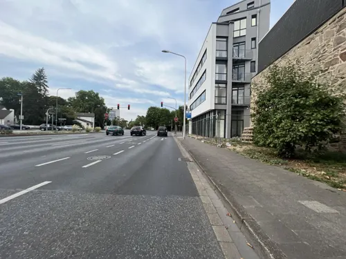
Stadttheater Düren
Cinema and theater · 8.9 km
Former theatre building in Düren,Germany, destroyed in World War II


Hofladen Feucht
Farm and orchard · 5.4 km
Th,Fr 09:00-18:00; Sa 09:00-13:00; PH off

Aussichtspunkt "Haus am See" Tagebau Hambach
Scenic view · 2.9 km
View of Hambacher Tagebau
Tagebau Inden - Aussichtspunkt Schophoven
Scenic view · 4.8 km
View of Tagebau Inden

Museums and landmarks35

Gutshof Burg Wolfshoven
Monument and historic site · 5.4 km
Vierseitige Hofanlage an der Hauptstraße in Stetternich. An der Straßenseite steht eine Scheune, ein Unterstellplatz mit alten...

Ehem. Kirche St. Lambertus
Monument and historic site · 5.6 km
2023-04-17 durch einen Brand zerstört
3 Ellener Straße, Merzenich


Erlebnisstation 13 Kleiner Indemann an der Rur
Monument and historic site · 4.1 km
Silhouette: Kleiner Indemann an der Rur Ausstattung: Fahrradbügel Tisch-Bank-Kombination

Erlebnisstation 14 Mutter aus Inden
Monument and historic site · 4.8 km
Silhouette: Mutter aus Inden Ausstattung: Fahrradbügel Informationsstele Hörstation Tisch-Bank-Kombination




23 more on the map.
Parks, trails and playgrounds17

Ruraue vom Merkener Busch bis zum Rurauenwald Indemündung
Hiking and trails · 4.8 km
Wälder um das Forschungszentrum Jülich mit ehemaligem Eisenbahn- Ausbesserungswerk
Hiking and trails · 4.8 km


5 more on the map.
Restaurants and cafes52
L'Osteria
Restaurant · Italian · 5.9 km
4 Fehlender Feld, Düren
Mo-Th 11:30-23:00, Fr,Sa 11:30-24:00, Su,PH 09:00-23:00

Bäckerei & Konditorei Stolz
Bakery · 6.0 km
25 Birkesdorfer Straße, Düren
We-Fr 07:00-13:00; Sa 07:30-11:00; Su,Mo,Tu off

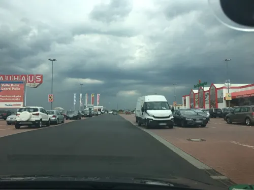
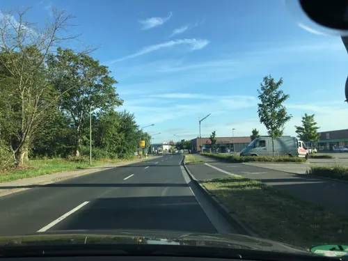
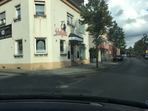


Am Park
Restaurant
3 Wüstweilerstraße, Niederzier
Mo-Sa 17:00-23:30; Tu off; Su 11:00-14:00,17:00-23:30
40 more on the map.
Where to stay3
Churches and places of worship33
Groß St. Arnold
Church · Roman Catholic · 5.3 km
2 Vikar-Klein-Straße, Düren
St. Stephanus
Church · Roman Catholic · 4.3 km
18 Altenburger Straße, Jülich
Marienkapelle
Church · Roman Catholic · 2.9 km
7 Wiesenstraße, Niederzier
St. Josef
Church · Roman Catholic · 3.1 km
44 Hochheimstraße, Niederzier
St. Martin
Church · Roman Catholic · 2.0 km
32 Kirchstraße, Niederzier
St. Thomas von Canterbury
Church · Roman Catholic · 3.4 km
11 St.-Thomas-Straße, Niederzier
Shopping20
Gas and EV charging11
Schools, colleges and libraries16
Städtische Katholische Grundschule St. Arnold
School · Roman Catholic · 5.5 km
96 Auf dem Horstert, Düren
Kath. Öffentliche Bücherei St. Arnold
Library · 5.3 km
10 Vikar-Klein-Straße, Düren
Healthcare5
Map of Niederzier
202 places. The map loads OpenStreetMap tiles when you open it.
Getting there and nearby towns
Flugplatz Würselen-Aachen (AAH) is the nearest airport with scheduled flights listed in OpenStreetMap, 21 km away.
- Nörvenich 15 km southeast, about 15 min by car
- Stolberg 21 km southwest, about 21 min by car
- Würselen 24 km west, about 24 min by car
- Übach-Palenberg 24 km west, about 24 min by car
- Zülpich 25 km southeast, about 25 min by car
- Pulheim 27 km northeast, about 27 min by car
- Aachen 29 km southwest, about 29 min by car
- Weilerswist 30 km southeast, about 30 min by car
- Köln 34 km east, about 34 min by car
- Mönchengladbach 34 km north, about 34 min by car
Drive times are estimates from straight-line distance, not routes.
Local news
Headlines from INDB.
Reviews, tips and questions
Loading what members have shared...
Sources and licences
- GeoNames (CC BY 4.0): population, coordinates, regions and time zone
- Mapillary (see each image): photos
- OpenStreetMap contributors (ODbL 1.0): places, airports, map data
- Wikidata (CC0 1.0): elevation, founding date, time zone, website, landmarks and historic places
- Wikimedia Commons (see each image): photos
- Wikipedia (CC BY-SA 4.0): overview and history text
Photo credits
- Niederzier und Oberzier (Luftaufnahme), Maximilian Schönherr, CC BY-SA 4.0
- Ellbach Biberdamm zw Hambach u Niederzier, KlausMiniwolf, CC BY-SA 4.0
- Jülich (DE), Sophienhöhe, Niederzierer See -- 2023 -- 0323, Anil Öztas, CC BY-SA 4.0
- Jülich (DE), Sophienhöhe, Niederzierer See -- 2023 -- 0322, Anil Öztas, CC BY-SA 4.0
- Jülich (DE), Sophienhöhe, Niederzierer See -- 2023 -- 0326, Anil Öztas, CC BY-SA 4.0
- Jülich (DE), Sophienhöhe, Niederzierer See -- 2023 -- 0328, Anil Öztas, CC BY-SA 4.0
- Arnoldsweiler Groß St. Arnold 706, GFreihalter, CC BY-SA 3.0
- Inden-Schophoven Denkmal-Nr. 36, Burg Müllenark (714), Käthe und Bernd Limburg, www.limburg-bernd.de, CC BY-SA 3.0 de
- Haus Rath Arnoldsweiler, tohma, CC BY-SA 4.0
- Motte-Altenburg, Christopher Meyer-Kretschmer, Public domain
- Sophienhöhe l, Unknown author, CC BY-SA 3.0
- Niederzier Denkmal-Nr. 14, Breite Straße 29 (1474), Käthe und Bernd Limburg, www.limburg-bernd.de, CC BY-SA 3.0 de
- Oberzier Pfarrkirche HDR, Karl-Heinz Meurer, CC BY-SA 3.0
- Niederzier-Ellen Denkmal-Nr. 2, St. Thomas Straße (1454), Käthe und Bernd Limburg, www.limburg-bernd.de, CC BY-SA 3.0 de
- Huchem-Stammeln Pfarrkirche HDR, Karl-Heinz Meurer, CC BY-SA 3.0
- Morschenich Pfarrkirche HDR, Karl-Heinz Meurer, CC BY-SA 3.0
- Niederzier-Selhausen Kapelle, Martincf78, CC BY 3.0
- St. Barbara (Schophoven) 01, Thomas Hummel, CC BY-SA 4.0
- Ulrich Rückriem, Stele in Düren-Arnoldsweiler-6294, Elke Wetzig ( User:Elya ), CC BY-SA 4.0
- Jülich-Stetternich Denkmal-Nr. 34, Wolfshovener Straße 213 (816), Käthe und Bernd Limburg, www.limburg-bernd.de, CC BY-SA 3.0 de
- Niederzier-Hambach Denkmal-Nr. 6, Schloßstraße 117 (1458), Käthe und Bernd Limburg, www.limburg-bernd.de, CC BY-SA 3.0 de
- Burg-Obbendorf-01, Superbass, CC BY-SA 3.0
- Jülich-Selgersdorf Denkmal-Nr. 42, Altenburger Straße 18 (835), Käthe und Bernd Limburg, www.limburg-bernd.de, CC BY-SA 3.0 de
- Niederzier-Hambach Denkmal-Nr. 3, Bachstraße 1 (1455), Käthe und Bernd Limburg, www.limburg-bernd.de, CC BY-SA 3.0 de
- Jülich-Stetternich Denkmal-Nr. 55, Martinusplatz 10 (874), Käthe und Bernd Limburg, www.limburg-bernd.de, CC BY-SA 3.0 de
- Rheinisches Braunkohlerevier DE, Thoroe, CC BY-SA 2.0
- Schloss-Hambach02, Superbass, CC BY-SA 3.0
- Haus Rath Sammlung Duncker, Heinrich Deiters (1840-1916), Alexander Duncker (1813-1897), Public domain
- Arnoldsweiler St Arnoldus 2 HDR, Karl-Heinz Meurer (-- Charlie1965nrw 10:00, 12. Jan. 2009 (CET)), CC BY-SA 3.0
- St. Peter (Birkesdorf) 01, Thomas Hummel, CC BY-SA 4.0
- St. Thomas von Canterbury (Ellen) 02, Thomas Hummel, CC BY-SA 4.0
- Offentlicher Bucherschrank in Hoven (Duren) 2, R. J. Mathar, CC BY-SA 4.0
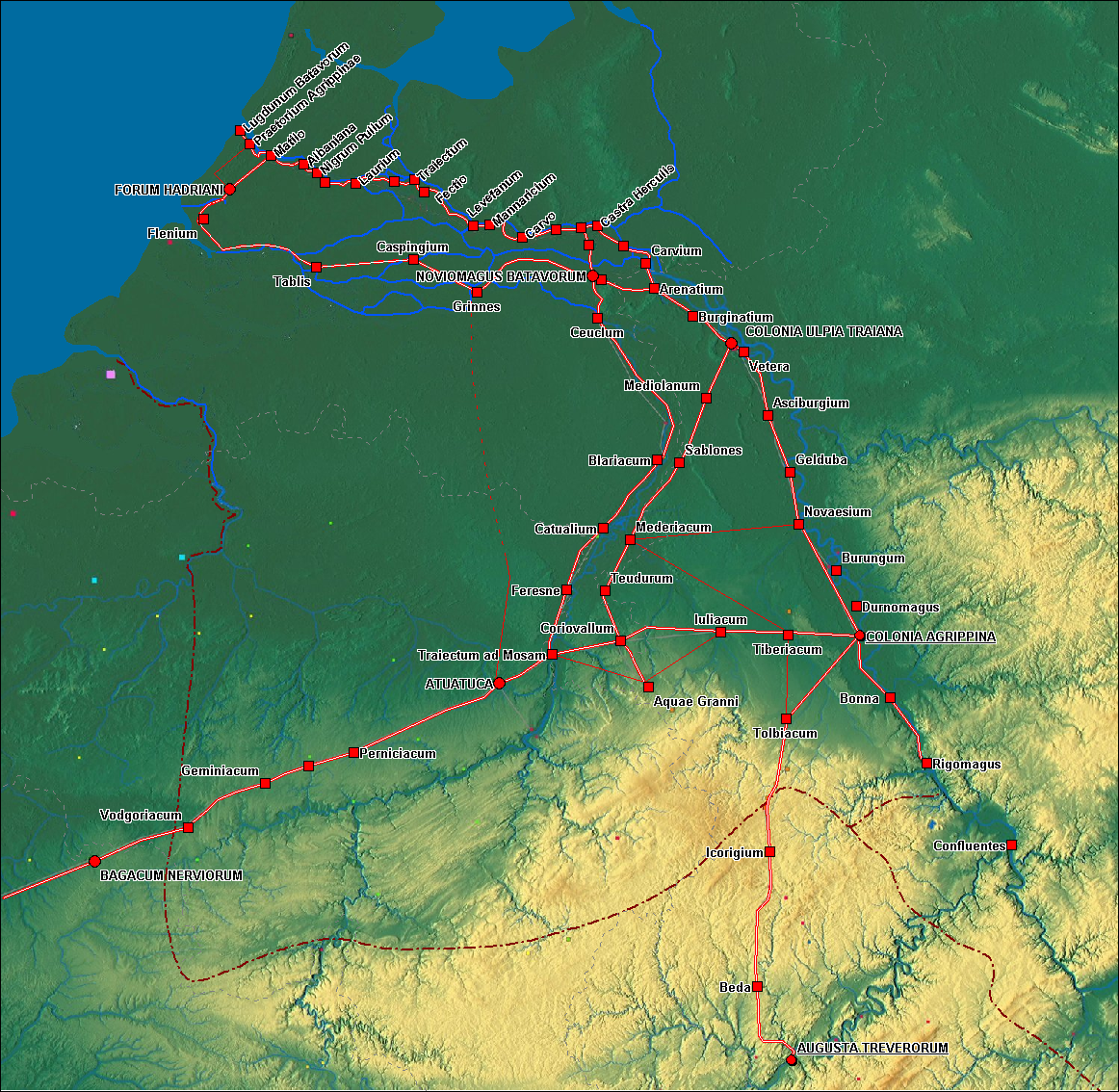
- Germania inferior roads towns, Hans Erren, CC BY-SA 3.0
- Freileitungen Oberzier Richtung Sueden ca. 1978, KlausMiniwolf, CC BY-SA 4.0
- Ehemalige A4-Brücke über die Hambachbahn 2024 02, Wikitarisch, CC BY 4.0
- Stromleitung Oberzier ohne Seile, KlausMiniwolf, CC BY-SA 4.0
- Stromleitung Oberzier nach Abbau, KlausMiniwolf, CC BY-SA 4.0
- 2016-04-03-Sophienhöhe Hambach-0039, Superbass, CC BY-SA 4.0
- Jülich Sophienhöhe Römerturm, Leit, CC BY-SA 4.0
- Erlebnisstation 13 Kleiner Indemann an der Rur - Informationsstele, Clisch, CC BY-SA 4.0
- Erlebnisstation 14 Mutter aus Inden, Clisch, CC BY-SA 4.0
- Street-level photo, noel, CC BY-SA 4.0
- Street-level photo, tyomox, CC BY-SA 4.0
- Street-level photo, noel, CC BY-SA 4.0
- Street-level photo, tobiasreg, CC BY-SA 4.0
- Street-level photo, tyomox, CC BY-SA 4.0
- Street-level photo, noel, CC BY-SA 4.0
- Street-level photo, saschahaberkorn, CC BY-SA 4.0
- Street-level photo, tyomox, CC BY-SA 4.0
- Street-level photo, noel, CC BY-SA 4.0
- Street-level photo, noel, CC BY-SA 4.0
- Street-level photo, noel, CC BY-SA 4.0
- Street-level photo, Hightower-, CC BY-SA 4.0
- Street-level photo, noel, CC BY-SA 4.0
- Street-level photo, tyomox, CC BY-SA 4.0
- Street-level photo, noel, CC BY-SA 4.0
- Street-level photo, hirschkauz, CC BY-SA 4.0
- Street-level photo, noel, CC BY-SA 4.0
- Street-level photo, noel, CC BY-SA 4.0
- Street-level photo, hirschkauz, CC BY-SA 4.0
- Street-level photo, noel, CC BY-SA 4.0
- Street-level photo, noel, CC BY-SA 4.0
- Street-level photo, hektor1989, CC BY-SA 4.0
- Street-level photo, noel, CC BY-SA 4.0
- Street-level photo, hirschkauz, CC BY-SA 4.0
- Street-level photo, noel, CC BY-SA 4.0
- Street-level photo, noel, CC BY-SA 4.0
- Street-level photo, noel, CC BY-SA 4.0
- Street-level photo, raymond, CC BY-SA 4.0
- Street-level photo, noel, CC BY-SA 4.0
- Street-level photo, peewee32, CC BY-SA 4.0


Page built November 8, 2026. Spotted a mistake? Tell us or suggest a place.