


Why visit Nordstemmen
Townapedia lists 29 museums and landmarks, 33 parks and trails, 52 places to eat, 10 places to stay and 18 attractions in and around town.
Highlights include Calenberger Brücke, Echt Schaf, Heimatmuseum Elze and Schloss Marienburg.
Weather in Nordstemmen
Forecast from MET Norway (CC BY 4.0). Full forecast
About Nordstemmen
Nordstemmen is a village and a municipality in the district of Hildesheim, in Lower Saxony, Germany. It is situated on the river Leine, approx. 10 km west of Hildesheim, and 25 km south of Hannover.
From the Wikipedia article Nordstemmen (this version), under CC BY-SA 4.0.
Things to do18

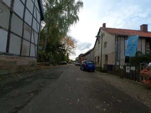




3 Burgenblick / Wittenburg / Poppenburg / Marienburg
Scenic view · 5.6 km
3 Burgenblick
6 more on the map.
Museums and landmarks29

Heimatmuseum Elze
Museum · 5.4 km
14 Mühlenstraße, Elze
Su 15:00-17:00; Tu 10:00-12:00; "und nach Vereinbarung"



Ehemalige Klosterkirche
Monument and historic site · 5.7 km
An der Klostermauer, Gronau (Leine)


17 more on the map.
Parks, trails and playgrounds33



Freibad Elze
Sports field and stadium · 6.2 km
2 Am Freibad
Mo-Sa 06:00-20:30, Su 08:00-20:30
Freizeitbad Nordstemmen
Sports field and stadium · 0.7 km
2 Am Freibad, Nordstemmen
Mo-Sa 06:00-20:00, Su 07:00-20:00


21 more on the map.
Restaurants and cafes52
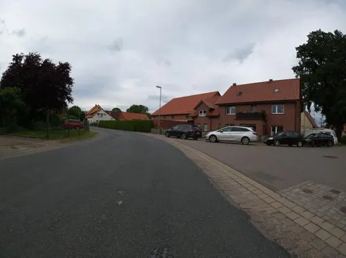
1852 Landgasthof
Restaurant · German, American · 4.9 km
2 An der Beeke
Th, Fr 17:00-23:00; Sa 15:00-23:00; Su 12:00-21:00
Athos
Restaurant · Greek · 6.6 km
5 Göttinger Landstraße, Pattensen
Mo-We 17:00-23:00; Th-Su,PH 12:00-14:30,17:30-23:00
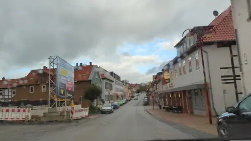
Castelo-Branco
Restaurant · Italian, Indian, German · 5.7 km
65 Hauptstraße, Elze
Tu-Su 11:30-14:30, 17:00-22:00

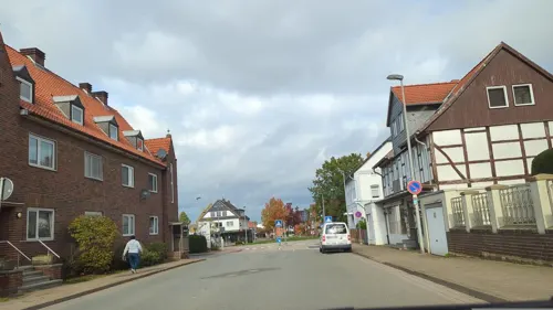
Ristorante Jaylano
Restaurant · Italian
43 Hauptstraße, Nordstemmen
Tu-Fr 11:30-14:30,17:00-22:30; Sa 16:00-22:30; Su 12:00-22:00
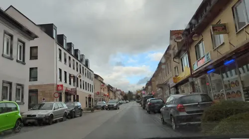
Steffis Sportgaststätte
Restaurant · International
22 Schlingweg, Nordstemmen
Mo off; Tu,We,Fr,Sa 17:00-22:00 "Schließt bei weniger Betrieb um...
Alt-Rössing am Schloßpark
Restaurant · 3.2 km
1A Unter den Eichen, Nordstemmen
Mo,Th-Fr 17:00+; Sa-Su,PH 11:00-14:00,17:00+
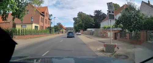
Biels Backhaus
Bakery · 1.3 km
10 Hildesheimer Straße, Nordstemmen
Mo-Fr 08:00-18:00, Sa 06:00-17:00, Su 07:30-17:00
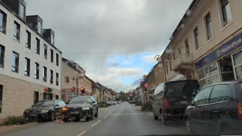
Bäckerei Grube
Bakery · 5.7 km
68a Hauptstraße, Elze
Mo-Fr 06:00-12:30; Sa 06:00-12:00; Su 07:00-11:00


40 more on the map.
Where to stay10
Churches and places of worship20
St. Petrus zu den Ketten
Church · Roman Catholic · 5.7 km
24 Schmiedetorstraße, Elze
Shopping13
Gas and EV charging6
Schools, colleges and libraries13
Healthcare4
Map of Nordstemmen
198 places. The map loads OpenStreetMap tiles when you open it.
Getting there and nearby towns
Hannover Airport (HAJ) is the nearest airport with scheduled flights listed in OpenStreetMap, 34 km away.
- Sarstedt 9 km northeast, about 9 min by car
- Hildesheim 12 km east, about 12 min by car
- Pattensen 11 km north, about 11 min by car
- Springe 16 km west, about 16 min by car
- Salzhemmendorf 17 km southwest, about 17 min by car
- Ronnenberg 20 km northwest, about 20 min by car
- Wennigsen 19 km northwest, about 19 min by car
- Wettbergen 20 km north, about 20 min by car
- Sehnde 21 km northeast, about 21 min by car
- Hannover 23 km north, about 23 min by car
Drive times are estimates from straight-line distance, not routes.
Local news
Headlines from INDB.
Reviews, tips and questions
Loading what members have shared...
Sources and licences
- GeoNames (CC BY 4.0): population, coordinates, regions and time zone
- Mapillary (see each image): photos
- OpenStreetMap contributors (ODbL 1.0): places, airports, map data
- Wikidata (CC0 1.0): elevation, founding date, time zone, website, landmarks and historic places
- Wikimedia Commons (see each image): photos
- Wikipedia (CC BY-SA 4.0): overview and history text
Photo credits
- Nordstemmen, Rathaus, Clemensfranz, CC BY-SA 3.0
- Hauptstraße 60, 1, Nordstemmen, Landkreis Hildesheim, GeorgDerReisende, CC BY-SA 4.0
- Hauptstraße 60, 5, Nordstemmen, Landkreis Hildesheim, GeorgDerReisende, CC BY-SA 4.0
- Hauptstraße 50, 1, Nordstemmen, Landkreis Hildesheim, GeorgDerReisende, CC BY-SA 4.0
- Bushaltestelle Rathaus, 2, Nordstemmen, Landkreis Hildesheim, GeorgDerReisende, CC BY-SA 4.0
- Bushaltestelle Rathaus, 1, Nordstemmen, Landkreis Hildesheim, GeorgDerReisende, CC BY-SA 4.0
- Hauptstraße 48, 1, Nordstemmen, Landkreis Hildesheim, GeorgDerReisende, CC BY-SA 4.0
- Hauptstraße 60, 8, Nordstemmen, Landkreis Hildesheim, GeorgDerReisende, CC BY-SA 4.0
- Hauptstraße 60, 6, Nordstemmen, Landkreis Hildesheim, GeorgDerReisende, CC BY-SA 4.0
- Rathausstraße 2 + Hauptstraße 45, 1, Nordstemmen, Landkreis Hildesheim, GeorgDerReisende, CC BY-SA 4.0
- Jüdischer Friedhof, 3, Nordstemmen, Landkreis Hildesheim, GeorgDerReisende, CC BY-SA 4.0
- Brunnenstraße 2, 1, Nordstemmen, Landkreis Hildesheim, GeorgDerReisende, CC BY-SA 4.0
- Am Feuerbrunnen 1, 2, Nordstemmen, Landkreis Hildesheim, GeorgDerReisende, CC BY-SA 4.0
- Jüdischer Friedhof, 2, Nordstemmen, Landkreis Hildesheim, GeorgDerReisende, CC BY-SA 4.0
- Jüdischer Friedhof, 1, Nordstemmen, Landkreis Hildesheim, GeorgDerReisende, CC BY-SA 4.0
- Am Feuerbrunnen 1, 1, Nordstemmen, Landkreis Hildesheim, GeorgDerReisende, CC BY-SA 4.0
- Hauptstraße 37, 1, Nordstemmen, Landkreis Hildesheim, GeorgDerReisende, CC BY-SA 4.0
- Hauptstraße 35, 1, Nordstemmen, Landkreis Hildesheim, GeorgDerReisende, CC BY-SA 4.0
- Hauptstraße 32, 1, Nordstemmen, Landkreis Hildesheim, GeorgDerReisende, CC BY-SA 4.0
- Hauptstraße 60, 3, Nordstemmen, Landkreis Hildesheim, GeorgDerReisende, CC BY-SA 4.0
- Hauptstraße 60, 9, Nordstemmen, Landkreis Hildesheim, GeorgDerReisende, CC BY-SA 4.0
- Hauptstraße 60, 7, Nordstemmen, Landkreis Hildesheim, GeorgDerReisende, CC BY-SA 4.0
- Hauptstraße 101, 1, Nordstemmen, Landkreis Hildesheim, GeorgDerReisende, CC BY-SA 4.0
- Hauptstraße 26, 1, Nordstemmen, Landkreis Hildesheim, GeorgDerReisende, CC BY-SA 4.0
- Hauptstraße 102, 5, Nordstemmen, Landkreis Hildesheim, GeorgDerReisende, CC BY-SA 4.0
- Hauptstraße 101 + 102, 4, Nordstemmen, Landkreis Hildesheim, GeorgDerReisende, CC BY-SA 4.0
- Hauptstraße 102 + 101, 6, Nordstemmen, Landkreis Hildesheim, GeorgDerReisende, CC BY-SA 4.0
- Marienbergstraße 6 - 2, 1, Nordstemmen, Landkreis Hildesheim, GeorgDerReisende, CC BY-SA 4.0
- Heyersumer Straße 6, 1, Nordstemmen, Landkreis Hildesheim, GeorgDerReisende, CC BY-SA 4.0
- Hauptstraße 102, 1, Nordstemmen, Landkreis Hildesheim, GeorgDerReisende, CC BY-SA 4.0
- Marienbergstraße 6, 3, Nordstemmen, Landkreis Hildesheim, GeorgDerReisende, CC BY-SA 4.0
- Marienbergstraße 2, 3, Nordstemmen, Landkreis Hildesheim, GeorgDerReisende, CC BY-SA 4.0
- Heyersumer Straße 6, 2, Nordstemmen, Landkreis Hildesheim, GeorgDerReisende, CC BY-SA 4.0
- Marienbergstraße 4, 3, Nordstemmen, Landkreis Hildesheim, GeorgDerReisende, CC BY-SA 4.0
- Marienbergstraße 6 - 2, 2, Nordstemmen, Landkreis Hildesheim, GeorgDerReisende, CC BY-SA 4.0
- Hauptstraße 102, 3, Nordstemmen, Landkreis Hildesheim, GeorgDerReisende, CC BY-SA 4.0
- Hauptstraße, 1, Nordstemmen, Landkreis Hildesheim, GeorgDerReisende, CC BY-SA 4.0
- Bushaltestelle Mensing, 1, Nordstemmen, Landkreis Hildesheim, GeorgDerReisende, CC BY-SA 4.0
- Baudenkmalgruppe Evangelische Kirche, 2, Nordstemmen, Landkreis Hildesheim, GeorgDerReisende, CC BY-SA 4.0
- Marienbergstraße 4, 4, Nordstemmen, Landkreis Hildesheim, GeorgDerReisende, CC BY-SA 4.0
- Hildesheim Himmelthür Orthodox church-2, Hildesheim_Himmelthür_Orthodox_church.JPG : Qasinka derivative work: Rabanus Flavus, Public domain
- Calenberg, Michael Gäbler, Public domain
- Beusterburg Wall Graben Abhang, Axel Hindemith, CC BY-SA 3.0
- Calenberg 1, User:Alkibiades, CC BY-SA 3.0
- Poppenburg seitlich, Axel Hindemith, CC BY-SA 3.0
- Naturschutzgebiet Entenfang (bei Giesen) (3), Lotte76, CC BY-SA 4.0
- Elze StPetrus zu den Ketten, Rabanus Flavus, Public domain
- Naturschutzgebiet Leineaue unter dem Rammelsberg (7), Lotte76, CC BY-SA 4.0
- St Dionysius Kirche Adensen, Axel Hindemith, CC BY-SA 3.0
- Emmerke Kirche N, Kirchenfan, CC0
- Jeinsen St. Georg 01, ErwinMeier, CC BY-SA 4.0
- Heimatmuseum Elze, Mühlenstraße 14, Gerd Fahrenhorst, CC BY 4.0
- Peter und Paul-Kirche in Elze, Michael Brandtner, CC BY-SA 3.0
- Mahlerten Kirchturm 0751, Poknuv751, CC BY-SA 4.0
- St.Peter-und Paulskirche (Rössing) IMG 3981, losch, Attribution
- Kirche Groß Escherde IMG 9813, losch, Attribution
- St.Nicolai-Kirche in Alferde (Springe) IMG 4231, losch, CC BY-SA 3.0
- Kirche Barnten Nordstemmen, Clemensfranz, CC BY-SA 4.0
- Kriegerdenkmal in Alferde (Springe) IMG 4237, losch, CC BY-SA 3.0
- Wasserschloss Rössing rIMG 3984, losch, Attribution
- Klosterkirche Wittenburg von Osten (2007), Werner Ochs, CC BY-SA 3.0
- Stadtpark Elze im Herbst, Gerd Fahrenhorst, CC BY 4.0
- Louis Krüger Gedenkstein Elze, Gerd Fahrenhorst, CC BY 4.0
- Kriegerdenkmal 1870-71 (Elze) 1, Gerd Fahrenhorst, CC BY 4.0
- Calenberger Brücke, Michael Gäbler, Public domain
- Marienburg Castle in summer, Michael Gäbler, CC BY 3.0
- Marienberg vom Osterwald, Axel Hindemith, CC BY-SA 3.0
- Street-level photo, Langfahrer, CC BY-SA 4.0
- Street-level photo, hotteliene, CC BY-SA 4.0
- Street-level photo, hotteliene, CC BY-SA 4.0
- Street-level photo, hotteliene, CC BY-SA 4.0
- Street-level photo, hotteliene, CC BY-SA 4.0
- Street-level photo, hotteliene, CC BY-SA 4.0
- Street-level photo, hotteliene, CC BY-SA 4.0
- Street-level photo, Friesmaker, CC BY-SA 4.0
- Street-level photo, Langfahrer, CC BY-SA 4.0
- Street-level photo, hotteliene, CC BY-SA 4.0
- Street-level photo, hotteliene, CC BY-SA 4.0
- Street-level photo, hotteliene, CC BY-SA 4.0
- Street-level photo, hotteliene, CC BY-SA 4.0
- Street-level photo, ankeric, CC BY-SA 4.0
- Street-level photo, m4p1ll4ry, CC BY-SA 4.0
- Street-level photo, aceini, CC BY-SA 4.0
- Street-level photo, Langfahrer, CC BY-SA 4.0
- Street-level photo, hotteliene, CC BY-SA 4.0
- Street-level photo, Langfahrer, CC BY-SA 4.0
- Street-level photo, Langfahrer, CC BY-SA 4.0
- Street-level photo, Langfahrer, CC BY-SA 4.0
- Street-level photo, hotteliene, CC BY-SA 4.0
- Street-level photo, Langfahrer, CC BY-SA 4.0
- Street-level photo, hotteliene, CC BY-SA 4.0
- Street-level photo, Langfahrer, CC BY-SA 4.0
- Street-level photo, hotteliene, CC BY-SA 4.0
- Street-level photo, aceini, CC BY-SA 4.0
- Street-level photo, Langfahrer, CC BY-SA 4.0


Page built November 8, 2026. Spotted a mistake? Tell us or suggest a place.