


Why visit Pentling
Townapedia lists 89 museums and landmarks, 51 parks and trails, 184 places to eat, 14 places to stay and 18 attractions in and around town.
Highlights include CinemaxX, Beerenmeile, Schloss St. Emmeram and Adolf Heumann.
Weather in Pentling
Forecast from MET Norway (CC BY 4.0). Full forecast
About Pentling
Pentling (German pronunciation: [ˈpɛntlɪŋ]; Bavarian: Bendling) is a municipality in the Regensburg district of Bavaria in Germany. It lies on the river Danube.
From the Wikipedia article Pentling (this version), under CC BY-SA 4.0.
Things to do18

CinemaxX
Cinema and theater · 4.3 km
25 Friedenstraße, Regensburg
Mo,Tu 14:00-20:45; We-Sa 14:00-23:00; Su 12:00-20:45


Nibelungen Bridge
Bridge · 5.8 km
Road structure in Regensburg, Germany

Staatstheater Regensburg
Cinema and theater · 4.6 km
Theatre building and opera house in Regensburg, Germany
Stone Bridge
Bridge · 5.1 km
12th-century bridge across the Danube in Regensburg, Germany

Velodrom
Cinema and theater · 4.6 km
Former velodrome, then cinema, now theatre in Regensburg, Bavaria, Germany
Gemüsehof Bauer
Farm and orchard · 4.4 km
32 Naabstraße, Pettendorf - Mariaort
"Kein Schild, Verkauf bei Anwesenheit"
Laden zur Selbstbedienung
Farm and orchard · 2.4 km
Selbstbedienungsladenhütte
Mo-Su 07:00-20:00

6 more on the map.
Museums and landmarks89
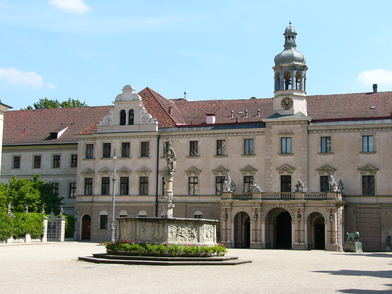


Castra Regina
Monument and historic site · 5.0 km
Roman legionary fortress at the site of modern Regensburg, Germany

Congregatio Jesu Regensburg
Monument and historic site · Catholic · 4.1 km
4 Helenenstraße, Regensburg


77 more on the map.
Parks, trails and playgrounds51

Botanical Garden of the University of Regensburg
Park · 2.7 km
Apr-Sep Mo-Th 07:00-17:00; Apr-Sep Fr 07:00-17:00; Sa off; Apr-Sep...



Golf Sinzing am Gut Minoritenhof
Golf course · 2.3 km
18 hole Par 72 + 9 hole Par 29
1 Minoritenhof, Sinzing



1. Motorboot- und Wasserskiclub e.V. Regensburg
Marina and boat launch · 2.9 km
Km 2386,9 LU, Strom/Wasser, Dusche/WC, Slipway, Kran 6to




39 more on the map.
Restaurants and cafes184

Bistro Rosarium
Restaurant · International · 4.0 km
3 a Hoppestraße, Regensburg
Tu-Sa 11:30-22:00; Su, PH 14:00-18:00

Bischofshof Braustuben
Restaurant · Bavarian · 3.7 km
50 Dechbettener Straße, Regensburg
Tu-Sa 10:00-22:00; Su 10:00-16:00
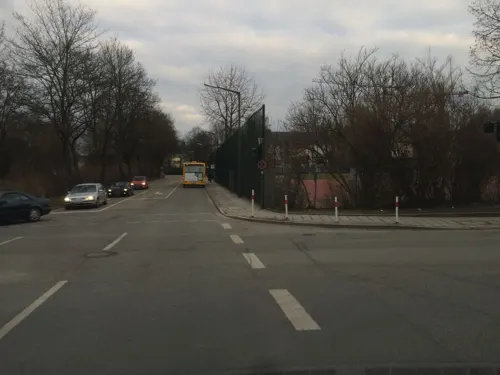
ASAHI Running Sushi
Restaurant · Sushi · 2.6 km
18 Theodor-Storm-Straße, Regensburg
Mo off; Tu-Su,PH 11:30-14:00,17:00-21:30; Dec 24,Dec 25,Dec 31: off

Café zweitesLEBEN
Cafe · German · 2.9 km
84 Universitätsstraße, Regensburg
Mo-Fr 09:00-17:00; Sa,Su,PH 10:00-17:00
Cotidiano Dörnberg
Restaurant · Breakfast, Burger, Bistro, Pasta · 3.9 km
5 Joseph-Dahlem-Straße, Regensburg
Mo-Sa 09:00-20:00; Su,PH 09:00-17:00
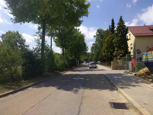


DUHOK Grill -Restaurant
Restaurant · Kurdish · 2.7 km
40 Augsburger Straße, Regensburg
Tu-Sa 11:00-14:00, 17:00-23:00; Su 11:00-22:00
172 more on the map.
Where to stay14
Premier Inn Regensburg City Centre Hotel
Motel and hotel · 3.4 km
7 Johanna-Kinkel-Straße, Regensburg
Churches and places of worship46
Basilica Sankt Emmeram
Church · Roman Catholic · 4.3 km
4 Emmeramsplatz, Regensburg
St. Rupert
Church · Roman Catholic · 4.4 km
Emmeramsplatz, Regensburg
St. Paul
Church · Catholic · 2.7 km
46 Friedrich-Ebert-Straße, Regensburg
Shopping58
Gas and EV charging35
Schools, colleges and libraries57
Städtische Berufsschule III für kaufmännische Berufe und Gesundheitsberufe
School · 3.5 km
100 Prüfeninger Straße, Regensburg
Healthcare33
Klinikum der Universität Regensburg, Haupteingang
Clinic and pharmacy · 2.4 km
11 Franz-Josef-Strauß-Allee, Regensburg
Map of Pentling
250 places. The map loads OpenStreetMap tiles when you open it.
Getting there and nearby towns
Flugplatz Straubing-Wallmühle (RBM) is the nearest airport with scheduled flights listed in OpenStreetMap, 35 km away.
- Regensburg 5 km northeast, about 5 min by car
- Bad Abbach 5 km south, about 5 min by car
- Lappersdorf 7 km north, about 7 min by car
- Neutraubling 10 km east, about 10 min by car
- Zeitlarn 11 km north, about 11 min by car
- Kelheim 15 km southwest, about 15 min by car
- Regenstauf 16 km north, about 16 min by car
- Abensberg 24 km southwest, about 24 min by car
- Maxhütte-Haidhof 24 km north, about 24 min by car
- Burglengenfeld 25 km north, about 25 min by car
Drive times are estimates from straight-line distance, not routes.
Local news
Headlines from INDB.
Reviews, tips and questions
Loading what members have shared...
Sources and licences
- GeoNames (CC BY 4.0): population, coordinates, regions and time zone
- Mapillary (see each image): photos
- OpenStreetMap contributors (ODbL 1.0): places, airports, map data
- Wikidata (CC0 1.0): elevation, founding date, time zone, website, landmarks and historic places
- Wikimedia Commons (see each image): photos
- Wikipedia (CC BY-SA 4.0): overview and history text
Photo credits
- 15.04.20 Hohengebraching Pfarrhof, Gehsport-sepp ( Diskussion ), CC BY-SA 4.0
- St. Johannes Pentling 01, Helmlechner, CC0
- St. Johannes Pentling 02, Helmlechner, CC0
- Regensburg - panoramio (73), Hans100, CC BY 3.0
- Bismarckplatz Theater Regensburg 20160928 (1), photographer and uploader was Hajotthu at de.wikipedia, CC BY-SA 3.0
- Regensburg - Steinerne Bruecke ohne Dom, Hytrion at German Wikipedia, CC BY-SA 3.0
- Velodrom (Regensburg), Johanning, CC BY-SA 3.0
- Legionslager Castra Regina, Burkhard Mücke, CC BY-SA 4.0
- Zu Unserer Lieben Frau zur Alten Kapelle von Norden, The original uploader was DALIBRI at German Wikipedia ., CC BY-SA 2.0 de
- Universität Regensburg Forum, High Contrast, CC BY 3.0 de
- Westtribüne 2, Zeddi2k6, CC BY-SA 4.0
- SchlossThurnundTaxis2010, PeterBraun74, CC BY-SA 3.0
- Campus OTH Regensburg, K4210, CC BY-SA 3.0
- Markuskirche 02, Giunnix, Public domain
- Schutzfelsen Pentling 2014, Johanning, CC BY-SA 4.0
- Regensburg Universitaetsklinikum, Manuel Strehl, CC BY-SA 2.5
- Uni-r Botanischer Garten 3, Manuel Strehl, CC BY-SA 2.5
- St. Bonifaz Regensburg 02, H.Helmlechner, CC BY-SA 4.0
- Kirchturm von St. Paul (Regensburg), MagnusBB, CC BY-SA 3.0
- St. Wolfgang Regensburg Südost, Paep56 (changes by Rabanus Flavus ), CC BY-SA 4.0
- Hl Maria Schutz Kirche Regensburg Okt 2013, Kreecher, CC BY-SA 3.0
- St. Rupert-Kirche Emmeramsplatz Regensburg 20160926 (1), photographer and uploader was Hajotthu at de.wikipedia, CC BY-SA 3.0
- 2018 St. Emmeram 1, Bärwinkel,Klaus, CC BY-SA 4.0
- Haidplatz - Thon-Dittmer-Palais - aussen - Regensburg, High Contrast, CC BY 3.0 de
- 15.04.20 Pentling St.Johannes, Gehsport-sepp ( Diskussion ), CC BY-SA 4.0
- Großprüfening 21 Regensburg 2014, Johanning, CC BY-SA 3.0
- 13.04.25 Sinzing Mariä Himmelfahrt, Gehsport-sepp ( Diskussion ), CC BY-SA 4.0
- Goethe-Gymnasium Regensburg 002, DALIBRI, CC BY-SA 4.0
- Pfarrkirche Mariä Himmelfahrt Sinzing 01, H.Helmlechner, CC BY-SA 4.0
- Prüfening Klosterkirche - Fassade 1, Wolfgang Sauber, CC BY-SA 4.0
- Stolperstein für Aron Haag (Regensburg), Christian Michelides, CC BY-SA 4.0
- Stolperstein für Hanchen Haag (Regensburg), Christian Michelides, CC BY-SA 4.0
- Stolperstein für Georg Muggenthaler (Regensburg), Christian Michelides, CC BY-SA 4.0
- Stolperstein für Arthur Bodenheimer (Regensburg), Christian Michelides, CC BY-SA 4.0
- Stolperstein für Else Grünhut (Regensburg), Christian Michelides, CC BY-SA 4.0
- Stolperstein für Alice Heiss (Regensburg), Christian Michelides, CC BY-SA 4.0
- Stolperstein für Adolf Heumann (Regensburg), Christian Michelides, CC BY-SA 4.0
- Stolperstein für Hildegard Heymann (Regensburg), Christian Michelides, CC BY-SA 4.0
- Stolperstein für Anna Prugg (Regensburg), Christian Michelides, CC BY-SA 4.0
- Regensburg, Charlotte-Brandis-Park, Sanqui, CC0
- Stolpersteine Regensburg Heymann, Herbstlaub, CC0
- Felsformation am Schwalbennest 2014, Johanning, CC BY-SA 4.0
- Dörnberg Palais (Regensburg), Johanning, CC BY-SA 3.0
- Stadtpark,Regensburg - panoramio, Hans100, CC BY 3.0
- Hegenauer-Park 4, Gerd Fahrenhorst, CC BY 4.0
- St. Ägidius Regensburg Ägidienplatz 5 D-3-62-000-17 03, Paep56, CC BY-SA 4.0
- Street-level photo, msdess, CC BY-SA 4.0
- Street-level photo, msdess, CC BY-SA 4.0
- Street-level photo, buchenhaus, CC BY-SA 4.0
- Street-level photo, tbeckler, CC BY-SA 4.0
- Street-level photo, msdess, CC BY-SA 4.0
- Street-level photo, buchenhaus, CC BY-SA 4.0
- Street-level photo, tbeckler, CC BY-SA 4.0
- Street-level photo, tbeckler, CC BY-SA 4.0
- Street-level photo, rnissl, CC BY-SA 4.0
- Street-level photo, tbeckler, CC BY-SA 4.0
- Street-level photo, czmrtn, CC BY-SA 4.0
- Street-level photo, mike409, CC BY-SA 4.0
- Street-level photo, tbeckler, CC BY-SA 4.0
- Street-level photo, changchun1, CC BY-SA 4.0
- Street-level photo, hdmn, CC BY-SA 4.0


Page built November 9, 2026. Spotted a mistake? Tell us or suggest a place.