


Why visit Plaidt
Townapedia lists 9 museums and landmarks, 12 parks and trails, 25 places to eat, 1 place to stay and 6 attractions in and around town.
Highlights include Caesar's Rhine bridges, Neuborner-Hof Hofladen, Römerbergwerk Meurin and Burg Wernerseck.
Weather in Plaidt
Forecast from MET Norway (CC BY 4.0). Full forecast
About Plaidt
Plaidt (German pronunciation: [plaɪt]) is a municipality in the district of Mayen-Koblenz in Rhineland-Palatinate, western Germany. It is seat of the Verbandsgemeinde Pellenz since 2017. Plaidt is situated south of Andernach.
From the Wikipedia article Plaidt (this version), under CC BY-SA 4.0.
Photos of Plaidt


Things to do6


Neuborner-Hof Hofladen
Farm and orchard · 2.9 km
Neuborner Hof, Andernach
Mo 08:00-18:00; Tu,We 08:00-13:00; Th,Fr 08:00-18:00; Sa...

Museums and landmarks9


Wasserturm
Monument and historic site · 2.8 km
Wasserturm des Gutes Nettehammer in Andernach Miesenheim

Parks, trails and playgrounds12






Restaurants and cafes25
Plääde Stüffje
Bar and pub
2a Alter Kirchplatz, Plaidt
We-Sa 17:00-21:00; Su 17:00-20:30
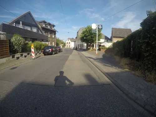
Zur alten Post
Restaurant · Greek · 1.4 km
11:00-14:00,17:00-21:00
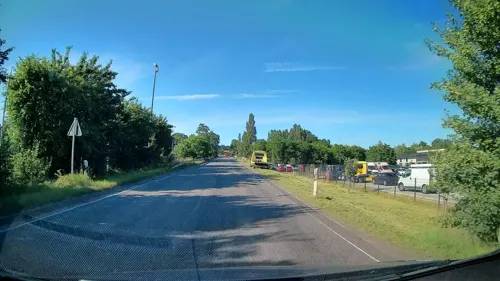
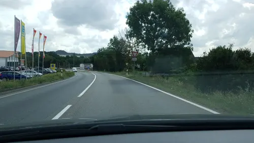
Lung's Milcheis
Ice cream · 0.8 km
Fraukircher Straße, Plaidt
Mo-Su,PH 12:00-20:00
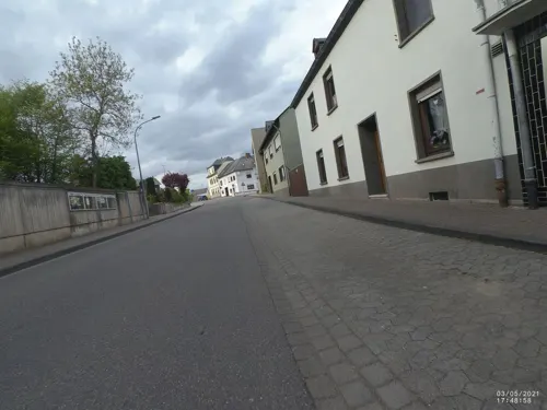

Griechisches Restaurant Ilios
Restaurant · Greek, Pizza, Mediterranean, Pasta
8 Bahnhofstraße, Plaidt
Mo 11:30-14:00,17:30-23:00, We-Su 11:30-14:00,17:30+

Ulrike´s Kulturbackhaus
Bakery · 1.5 km
30 Ringstraße, Andernach
Mo-Sa 06:00-12:00; Su 07:00-11:00; PH off
Restaurant Athen im Gasthaus Milles
Restaurant · Greek · 1.6 km
29 Ringstraße, Miesenheim
Tu-Su 17:00-22:00; Su 11:30-14:00; Mo closed
13 more on the map.
Where to stay1
Churches and places of worship10
Shopping6
Gas and EV charging3
Schools, colleges and libraries4
Healthcare2
Map of Plaidt
78 places. The map loads OpenStreetMap tiles when you open it.
Getting there and nearby towns
Hahn Airport (HHN) is the nearest airport with scheduled flights listed in OpenStreetMap, 51 km away.
- Andernach 4 km north, about 4 min by car
- Weißenthurm 5 km northeast, about 5 min by car
- Neuwied 7 km northeast, about 7 min by car
- Mülheim-Kärlich 8 km east, about 8 min by car
- Bendorf 14 km east, about 14 min by car
- Koblenz 14 km east, about 14 min by car
- Mayen 14 km southwest, about 14 min by car
- Vallendar 16 km east, about 16 min by car
- Bonefeld 16 km northeast, about 16 min by car
- Lahnstein 19 km southeast, about 19 min by car
Drive times are estimates from straight-line distance, not routes.
Towns near Plaidt


Local news
Headlines from INDB.
Reviews, tips and questions
Loading what members have shared...
Sources and licences
- GeoNames (CC BY 4.0): population, coordinates, regions and time zone
- Mapillary (see each image): photos
- OpenStreetMap contributors (ODbL 1.0): places, airports, map data
- Wikidata (CC0 1.0): elevation, founding date, time zone, website, landmarks and historic places
- Wikimedia Commons (see each image): photos
- Wikipedia (CC BY-SA 4.0): overview and history text
Photo credits
- Plaidt, ChillingGrizzly, CC BY-SA 3.0
- Plaidt, Willibrordtsjerke (1859-1860), RomkeHoekstra, CC BY-SA 4.0
- Plaidt, St. Willibrord (15), Subbass1, CC BY-SA 4.0
- Plaidt, St. Willibrord (17) (cropped), Subbass1, CC BY-SA 4.0
- Plaidt, St. Willibrord (13), Subbass1, CC BY-SA 4.0
- Plaidt, St. Willibrord (17) (cropped) (cropped), Subbass1, CC BY-SA 4.0
- Plaidt, St. Willibrord (18), Subbass1, CC BY-SA 4.0
- Plaidt, St. Willibrord (17), Subbass1, CC BY-SA 4.0
- Plaidt, St. Willibrord (19) (cropped), Subbass1, CC BY-SA 4.0
- Plaidt, St. Willibrord (19), Subbass1, CC BY-SA 4.0
- Plaidt, St. Willibrord (01), Subbass1, CC BY-SA 4.0
- Plaidt, St. Willibrord (19) 2, Subbass1, CC BY-SA 4.0
- Plaidt, St. Willibrord (08), Subbass1, CC BY-SA 4.0
- Plaidt, St. Willibrord (09), Subbass1, CC BY-SA 4.0
- Plaidt, St. Willibrord (12), Subbass1, CC BY-SA 4.0
- Plaidt, St. Willibrord (14), Subbass1, CC BY-SA 4.0
- Plaidt, St. Willibrord (16) (cropped), Subbass1, CC BY-SA 4.0
- Plaidt, St. Willibrord (10), Subbass1, CC BY-SA 4.0
- Plaidt, St. Willibrord (16), Subbass1, CC BY-SA 4.0
- Plaidt, St. Willibrord (11), Subbass1, CC BY-SA 4.0
- Plaidt, St. Willibrord (21), Subbass1, CC BY-SA 4.0
- Plaidt, St. Willibrord (20), Subbass1, CC BY-SA 4.0
- Plaidt, St. Willibrord (03), Subbass1, CC BY-SA 4.0
- Plaidt, St. Willibrord (04), Subbass1, CC BY-SA 4.0
- Plaidt, St. Willibrord (02), Subbass1, CC BY-SA 4.0
- Plaidt, St. Willibrord (02) (cropped), Subbass1, CC BY-SA 4.0
- Plaidt, St. Willibrord (06), Subbass1, CC BY-SA 4.0
- Plaidt, St. Willibrord (05), Subbass1, CC BY-SA 4.0
- Plaidt, St. Willibrord (07), Subbass1, CC BY-SA 4.0
- Plaidt, Willibrordtsjerke, haadalter, RomkeHoekstra, CC BY-SA 4.0
- Plaidt, Willibrordtsjerke, oargel (Alfred Führer), RomkeHoekstra, CC BY-SA 4.0
- Plaidt, Willibrordtsjerke, oersjoch ynterieur, RomkeHoekstra, CC BY-SA 4.0
- Plaidt, Willibrordtsjerke, byld Sint-Willibrord, RomkeHoekstra, CC BY-SA 4.0
- Plaidt, pastorij Willibrordsjerke, RomkeHoekstra, CC BY-SA 4.0
- Plaidt, kapel by de Willibrordtsjerke, RomkeHoekstra, CC BY-SA 4.0
- Kilometerstein Plaidt Rauschermühlenstrasse, JS Lonscet, CC BY-SA 4.0
- Plaidt, kapel, RomkeHoekstra, CC BY-SA 4.0
- Il ponte di Cesare sul Reno, Lo Scaligero, Public domain
- Burg Wernerseck2, Labradormix at German Wikipedia, Public domain
- Römerbergwerk Meurin Innenansicht 2010, Holger Weinandt, CC BY-SA 3.0 de
- 2006mai saffig 010, Klaus Graf, CC BY 2.5
- Rauscher Park in Plaidt - II, Johannes Rummel, CC BY-SA 3.0
- KretzStMarien3, LigaDue, CC BY-SA 4.0
- Andernach Miesenheim Wasserturm 2022, Oberlausitzerin64, CC BY-SA 4.0
- Der Korretsberg, vom Hummerich gesehen, Rolf Kranz, CC BY-SA 4.0
- 2006mai saffig 021, Klaus Graf, CC BY 2.5
- Street-level photo, kalcaaro, CC BY-SA 4.0
- Street-level photo, VIA_CH, CC BY-SA 4.0
- Street-level photo, derEntwickler, CC BY-SA 4.0
- Street-level photo, derEntwickler, CC BY-SA 4.0
- Street-level photo, kalcaaro, CC BY-SA 4.0
- Street-level photo, VIA_CH, CC BY-SA 4.0
- Street-level photo, mfa, CC BY-SA 4.0
- Street-level photo, kalcaaro, CC BY-SA 4.0
- Street-level photo, kalcaaro, CC BY-SA 4.0
- Street-level photo, Lowiekse, CC BY-SA 4.0
- Street-level photo, DerMaster0815, CC BY-SA 4.0
- Street-level photo, kalcaaro, CC BY-SA 4.0
- Street-level photo, VIA_CH, CC BY-SA 4.0
- Street-level photo, mfa, CC BY-SA 4.0
- Street-level photo, VIA_CH, CC BY-SA 4.0
- Street-level photo, VIA_CH, CC BY-SA 4.0
- Street-level photo, stili, CC BY-SA 4.0
- Street-level photo, kalcaaro, CC BY-SA 4.0
- Street-level photo, VIA_CH, CC BY-SA 4.0
- Street-level photo, VIA_CH, CC BY-SA 4.0


Page built November 9, 2026. Spotted a mistake? Tell us or suggest a place.