


Mülheim-Kärlich, Germany
Mülheim-Kärlich is a town of 10,451 people in Rheinland-Pfalz, Germany.
Why visit Mülheim-Kärlich
Townapedia lists 21 museums and landmarks, 14 parks and trails, 65 places to eat, 7 places to stay and 1 attraction in and around town.
Highlights include Caesar's Rhine bridges, Jüdischer Friedhof, Goloring and Tauris Freizeitbad.
Weather in Mülheim-Kärlich
Forecast from MET Norway (CC BY 4.0). Full forecast
About Mülheim-Kärlich
Mülheim-Kärlich (German pronunciation: [ˈmyːlhaɪm ˈkɛːɐ̯lɪç] ) is a town in the district Mayen-Koblenz, in Rhineland-Palatinate, Germany. It is part of the Verbandsgemeinde ("collective municipality") Weißenthurm. It is situated west of Koblenz, a few kilometers from the Rhine. It is the site of the closed Mülheim-Kärlich Nuclear Power Plant.
From the Wikipedia article Mülheim-Kärlich (this version), under CC BY-SA 4.0.
Things to do1

Museums and landmarks21


Goloring
Monument and historic site · 6.5 km
Neolithic henge monument



9 more on the map.
Parks, trails and playgrounds14






2 more on the map.
Restaurants and cafes65
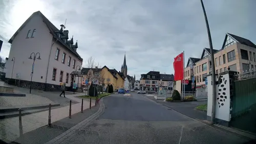

Gourmet Tempel Mülheim-Kärlich
Restaurant · Mongolian Grill · 2.1 km
38 Industriestraße, Mülheim-Kärlich
Mo-Fr 11:30-15:00, 17:30-23:00; Sa-Su 11:30-23:00
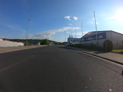
Grillrestaurant Akropolis
Restaurant · Greek · 1.3 km
12 In der Pützgewann, Mülheim-Kärlich
Mo,Th,Fr 11:00-20:00; Tu,We,Sa 11:00-16:00
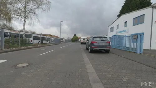
Trattoria Ferrara
Restaurant · Italian · 3.7 km
4 Hauptstraße, Weißenthurm
Tu-Su 11:30-14:30, 17:30-22:30; Mo off
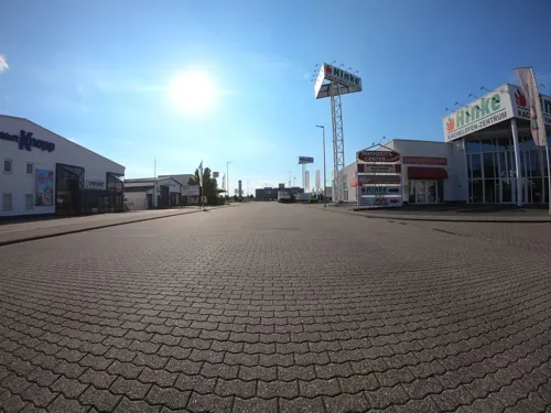
Antonello Cofone Wein-Import
Brewery and winery · 1.6 km
10 Spitalsgraben, Mülheim-Kärlich
Mo-Fr 14:30-18:00; Sa 10:30-16:00; PH off
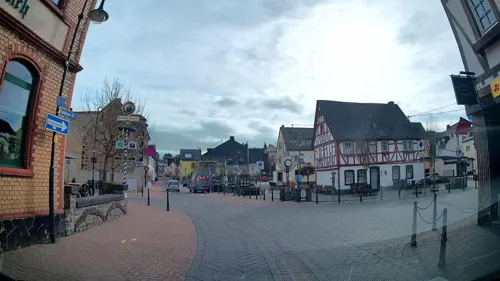
Brauhaus
Restaurant
2 Kapellenstraße, Mülheim-Kärlich
Mo-Th 16:00-22:00; Fr,Sa 16:00-24:00; PH,Su 11:00-22:00

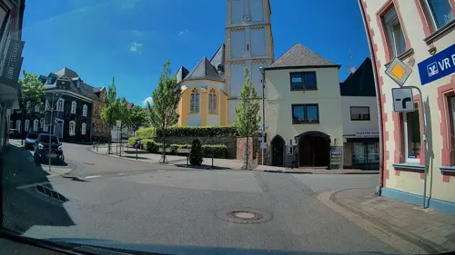
Café Tante Miesche
Cafe · Regional, German, Cake, Salad, Dessert, Ice Cream · 3.0 km
Tu-Su 09:00-17:00


53 more on the map.
Where to stay7
Churches and places of worship13
Shopping30
Gas and EV charging10
Schools, colleges and libraries10
Volkshochschule der Verbandsgemeinde Weißenthurm
School · 3.2 km
4 Kärlicher Straße, Weißenthurm
Healthcare8
Apotheke im Gewerbepark
Clinic and pharmacy · 2.5 km
18-20 Industriestraße, Mülheim-Kärlich
Palm Pharma Apotheke
Clinic and pharmacy · 4.0 km
2 Jakob-Caspers-Straße, Koblenz
Map of Mülheim-Kärlich
179 places. The map loads OpenStreetMap tiles when you open it.
Getting there and nearby towns
Hahn Airport (HHN) is the nearest airport with scheduled flights listed in OpenStreetMap, 52 km away.
- Neuwied 6 km north, about 6 min by car
- Koblenz 7 km southeast, about 7 min by car
- Bendorf 7 km northeast, about 7 min by car
- Andernach 8 km northwest, about 8 min by car
- Lahnstein 13 km southeast, about 13 min by car
- Boppard 18 km south, about 18 min by car
- Mayen 21 km west, about 21 min by car
- Montabaur 24 km east, about 24 min by car
- Sinzig 25 km northwest, about 25 min by car
- Remagen 29 km northwest, about 29 min by car
Drive times are estimates from straight-line distance, not routes.
Local news
Headlines from INDB.
Reviews, tips and questions
Loading what members have shared...
Sources and licences
- GeoNames (CC BY 4.0): population, coordinates, regions and time zone
- Mapillary (see each image): photos
- OpenStreetMap contributors (ODbL 1.0): places, airports, map data
- Wikidata (CC0 1.0): elevation, founding date, time zone, website, landmarks and historic places
- Wikimedia Commons (see each image): photos
- Wikipedia (CC BY-SA 4.0): overview and history text
Photo credits
- Mülheim-Kärlich, Stefan Volk at German Wikipedia, CC BY-SA 3.0
- Mülheim-Kärlich, Kolpingplatz (2019-07-22 Sp), Lothar Spurzem, CC BY-SA 2.0 de
- Mülheim-Kärlich, Pfarrhaus, Pfr.-Rödelstürtz-Str. 1, Spurzem, CC BY-SA 4.0
- Mülheim-Kärlich, Alte Kapelle (7) - Chorfenster (2017-09-10 Sp), Spurzem, CC BY-SA 4.0
- Mülheim-Kärlich, Alte Kapelle (8), außen (2017-09-10 Sp), Spurzem, CC BY-SA 4.0
- Mülheim-Kärlich, Brunnen an der Alten Feuerwache 3 (2019-07-22 Sp), Lothar Spurzem, CC BY-SA 2.0 de
- Stadtmuseum Mülheim-Kärlich - Henrichs mit Besuchern (2012-03-24 Sp), Lothar Spurzem, CC BY-SA 2.0 de
- Stadtmuseum Mülheim-Kärlich - Kärlicher Schloss, Modell (2012-02-26 Sp Ausschnitt), Lothar Spurzem, CC BY-SA 2.0 de
- Stadtmuseum Mülheim-Kärlich - Faustkeil (2012-02-26 Sp), Lothar Spurzem, CC BY-SA 2.0 de
- Stadtmuseum Mülheim-Kärlich - Henrichs im Schulzimmer (2014-09-17 Sp), Lothar Spurzem, CC BY-SA 2.0 de
- Stadtmuseum Mülheim-Kärlich - Rheinverlauf Neuwieder Becken (Repro Senner), Oswald Senner, CC BY-SA 3.0 de
- Mülheim-Kärlich, Stadtmuseum (2023-09-15 H. Hohn), Horst Hohn, CC BY-SA 3.0 de
- Stadtmuseum Mülheim-Kärlich - Ofenplatte Wappen v. d. Leyen (Foto Senner), Oswald Senner, CC BY-SA 3.0 de
- Stadtmuseum Mülheim-Kärlich - Jahrgang 42 (2012-04-18 16 Sp), Lothar Spurzem, CC BY-SA 3.0 de
- Stadtmuseum Mülheim-Kärlich - Kärlicher Schloss, Modell (2012-02-26 Sp), Lothar Spurzem, CC BY-SA 2.0 de
- Mülheim-Kärlich, Kirschblütenschule, Ostseite (2019-07-22 Sp), Lothar Spurzem, CC BY-SA 2.0 de
- 2013-06-14 36 72 Stunden in Mülheim-Kärlich, Lothar Spurzem, CC BY-SA 2.0 de
- Mülheim-Kärlich, evangelische Kirche (2019-07-30 Sp 1), Lothar Spurzem, CC BY-SA 2.0 de
- Fahrzeugsegnung 1977 in Mülheim-Kärlich, Lothar Spurzem, CC BY-SA 2.0 de
- Mülheim-Kärlich, St. Mauritius Ostchor (Südost), Spurzem, CC BY-SA 4.0
- 14 Nothelfer - aus der Kapelle am Guten Mann, Mülheim-Kärlich, Lothar Spurzem, CC BY-SA 2.0 de
- Il ponte di Cesare sul Reno, Lo Scaligero, Public domain
- Schloss Engers 008-, Wolkenkratzer, CC BY-SA 3.0
- Bassenheimer Reiter (2009-10-19 Sp), Spurzem - Lothar Spurzem, CC BY-SA 2.0 de
- Mülheim-Kärlich jüdischer Friedhof297, GFreihalter, CC BY-SA 3.0
- Kapelle Am Guten Mann 1982 (kl), Unknown author, CC BY-SA 2.0 de
- Mülheimer Kirche (2007-09-30) Mülheim-Kärlich, Spurzem - Lothar Spurzem, CC BY-SA 2.0 de
- Bassenheim, Martinuskerk, RomkeHoekstra, CC BY-SA 4.0
- St Mauritius 02 Koblenz 2012, Holger Weinandt, CC BY-SA 3.0 de
- Kirche St. Mauritius Kärlich (von Westen) 1976, Unknown author, CC BY-SA 2.0 de
- St Maternus 01 Koblenz 2013, Holger Weinandt, CC BY-SA 3.0 de
- Bassenheim Adenauer-Schuman-Gedenkzeichen (2015 Sp), Lothar Spurzem, CC BY-SA 2.0 de
- Katholische Pfarrkirche St. Bartholomäus Kettig II a, Granjero26, CC0
- Sankt Georg Urmitz, Tohma ( talk ), CC BY-SA 4.0
- KettigStolpersteineGodildaPlatzVeitKarl, LigaDue, CC BY-SA 4.0
- KettigStolpersteineGodildaPlatzVeitManfred, LigaDue, CC BY-SA 4.0
- KettigStolpersteineGodildaPlatzVeitArthur, LigaDue, CC BY-SA 4.0
- KettigStolpersteineGodildaPlatzVeitErna, LigaDue, CC BY-SA 4.0
- KettigStolpersteineGodildaPlatzVeitJulius, LigaDue, CC BY-SA 4.0
- Urmitzer Insel, Frila, CC BY-SA 3.0
- Marina Neuwied-7076, Raimond Spekking, CC BY-SA 4.0
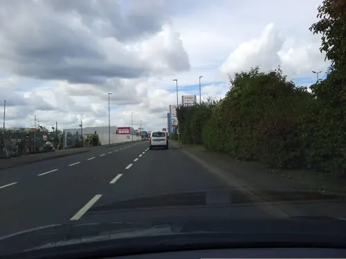
- Street-level photo, kalcaaro, CC BY-SA 4.0
- Street-level photo, wizonede, CC BY-SA 4.0
- Street-level photo, wizonede, CC BY-SA 4.0
- Street-level photo, wizonede, CC BY-SA 4.0
- Street-level photo, chuck, CC BY-SA 4.0
- Street-level photo, wizonede, CC BY-SA 4.0
- Street-level photo, VIA_CH, CC BY-SA 4.0
- Street-level photo, stili, CC BY-SA 4.0
- Street-level photo, miguel_andrade, CC BY-SA 4.0
- Street-level photo, VIA_CH, CC BY-SA 4.0
- Street-level photo, wizonede, CC BY-SA 4.0
- Street-level photo, kalcaaro, CC BY-SA 4.0
- Street-level photo, kalcaaro, CC BY-SA 4.0
- Street-level photo, wizonede, CC BY-SA 4.0
- Street-level photo, wizonede, CC BY-SA 4.0
- Street-level photo, Lowiekse, CC BY-SA 4.0
- Street-level photo, Lowiekse, CC BY-SA 4.0
- Street-level photo, wizonede, CC BY-SA 4.0
- Street-level photo, Lowiekse, CC BY-SA 4.0
- Street-level photo, Lowiekse, CC BY-SA 4.0
- Street-level photo, Lowiekse, CC BY-SA 4.0
- Street-level photo, kalcaaro, CC BY-SA 4.0
- Street-level photo, VIA_CH, CC BY-SA 4.0
- Street-level photo, kalcaaro, CC BY-SA 4.0
- Street-level photo, wizonede, CC BY-SA 4.0


Page built November 8, 2026. Spotted a mistake? Tell us or suggest a place.