


Why visit Weißenthurm
Townapedia lists 194 museums and landmarks, 15 parks and trails, 92 places to eat, 12 places to stay and 4 attractions in and around town.
Highlights include Schloßtheater Neuwied, Caesar's Rhine bridges, Deutsches Flippermuseum and Monument General Hoche.
Weather in Weißenthurm
Forecast from MET Norway (CC BY 4.0). Full forecast
About Weißenthurm
Weißenthurm (German pronunciation: [vaɪsn̩ˈtʊʁm] ) is a town in the district of Mayen-Koblenz, in Rhineland-Palatinate, Germany. It is situated on the left bank of the Rhine, opposite Neuwied, approximately 12 km northwest of Koblenz.
From the Wikipedia article Weißenthurm (this version), under CC BY-SA 4.0.
Things to do4


Museums and landmarks194


Monument General Hoche
Monument and historic site · 0.7 km
Frühklassizistischer Obelisk, 1798, Entwurf Peter Joseph Krahe, Kupferreliefs von Louis-Simon Boizot, um 1800 (Originale in Versailles)
Am Hoche, Weißenthurm

Roentgen-Museum
Museum · 2.0 km
1a Raiffeisenplatz, Neuwied
Mo-Fr 11:00-17:00; Sa,Su,PH 14:00-17:00

Weißer Thurm
Monument and historic site · 0.6 km
Der Weiße Turm markierte die Grenze zwischen Kurtrier und Kurköln, die von 1335 bis 1803 etwas nordwestlich vom Turm verlief.

Niederbieber
Monument and historic site · 4.9 km
Archaeological site in Germany

Sofia Abraham
Monument and historic site · 1.5 km
Es gibt zwei Steine für Sofia Abraham! Beide sind erfasst.


182 more on the map.
Parks, trails and playgrounds15


Deichwelle Allwetterbad
Sports field and stadium · 2.2 km
55 Andernacher Straße, Neuwied
Tu,Th 07:00-21:00; We,Fr-Su 09:00-21:00


3 more on the map.
Restaurants and cafes92

Altes Brauhaus zur Nette
Restaurant · German · 2.2 km
58 Augustastraße, Neuwied
Mo-Su,PH 11:00-14:30,17:00-23:00
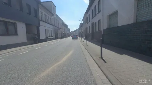
Amigo Arkadas Spezial
Restaurant · Pizza, Kebab · 0.9 km
64 Hauptstraße, Weißenthurm
Tu-Fr 11:00-23:00; Sa-Su 12:00-23:00
Belle Roma
Restaurant · Pizza · 2.4 km
73 Stadionstraße, Andernach
Tu-Fr 16:30-21:30; Sa,Su 11:30-21:30
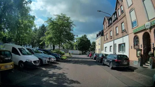
Pino Italia im Heimathaus
Restaurant · Italian · 1.7 km
69 Schloßstraße
Tu-Su 11:30-14:00,18:00-23:00; Mo off
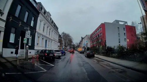
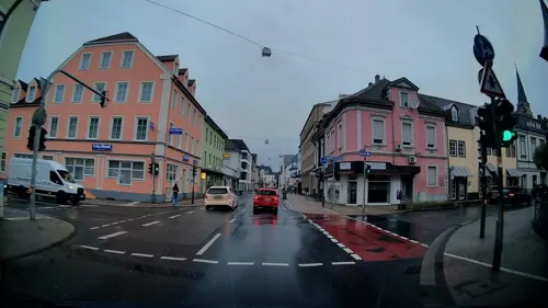
Thirsty Lion
Bar and pub · Burger, Fingerfood, Steaks, Salad, Sandwich · 1.6 km
84 Marktstraße, Neuwied
Tu-Su 17:30-24:00
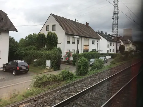
Trattoria Ferrara
Restaurant · Italian · 1.4 km
4 Hauptstraße, Weißenthurm
Tu-Su 11:30-14:30, 17:30-22:30; Mo off

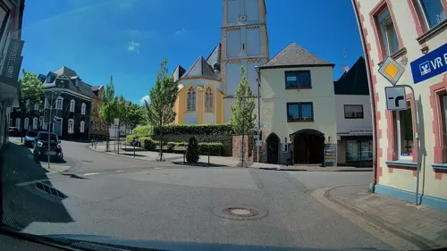
Billard Café Insel
Bar and pub · 1.4 km
24 Schloßstraße, Neuwied
Mo-Th 17:00-24:00; Fr 17:00-01:00; Sa 13:00-02:00; Su 12:00-23:00

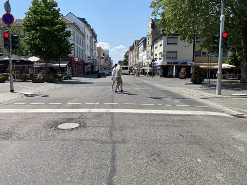
Café Tante Miesche
Cafe · Regional, German, Cake, Salad, Dessert, Ice Cream · 2.3 km
Tu-Su 09:00-17:00


80 more on the map.
Where to stay12
Churches and places of worship13
Ditib Ravza Camii Neuwied
Place of worship · 1.9 km
50 Langendorfer Straße, Neuwied
Shopping20
Gas and EV charging10
Schools, colleges and libraries17
Integrierte Gesamtschule Johanna Löwenherz Neuwied
School · 1.6 km
3 Friedrich-Siegert-Straße, Neuwied
Integrierte Gesamtschule Neuwied - IGS Johanna Löwenherz
School · 1.7 km
3 Friedrich-Siegert-Straße, Neuwied
Werner Heisenberg Gymnasium
School · 1.7 km
32 Engerser Landstraße, Neuwied
Staatliches Studienseminar Rheinland-Pfalz
School · 2.1 km
28 Friedrich-Ebert-Straße, Neuwied
Healthcare13
Johanniter-Zentrum für Kinder- und Jugendpsychiatrie
Clinic and pharmacy · 1.3 km
Map of Weißenthurm
250 places. The map loads OpenStreetMap tiles when you open it.
Getting there and nearby towns
Hahn Airport (HHN) is the nearest airport with scheduled flights listed in OpenStreetMap, 54 km away.
- Neuwied 2 km northeast, about 2 min by car
- Andernach 4 km northwest, about 4 min by car
- Mülheim-Kärlich 5 km southeast, about 5 min by car
- Bendorf 9 km east, about 9 min by car
- Koblenz 12 km southeast, about 12 min by car
- Bonefeld 12 km north, about 12 min by car
- Lahnstein 18 km southeast, about 18 min by car
- Mayen 19 km southwest, about 19 min by car
- Sinzig 20 km northwest, about 20 min by car
- Boppard 23 km southeast, about 23 min by car
Drive times are estimates from straight-line distance, not routes.
Local news
Headlines from INDB.
Reviews, tips and questions
Loading what members have shared...
Sources and licences
- GeoNames (CC BY 4.0): population, coordinates, regions and time zone
- Mapillary (see each image): photos
- OpenStreetMap contributors (ODbL 1.0): places, airports, map data
- Wikidata (CC0 1.0): elevation, founding date, time zone, website, landmarks and historic places
- Wikimedia Commons (see each image): photos
- Wikipedia (CC BY-SA 4.0): overview and history text
Photo credits
- Weißenthurm, Hauptstraße und Kirchturm, Lothar Spurzem, CC BY-SA 2.0 de
- Weißenthurm - Kirche Hl. Dreifaltigkeit (2015-04-29), Lothar Spurzem, CC BY-SA 2.0 de
- Weißenthurm, de Pfarrkirche Heilige Dreifaltigkeit Dm IMG 2316 2024-06-01 12.30, Michielverbeek, CC BY 4.0
- Die Raiffeisenbrücke verbindet Neuwied mit Weißenthurm - panoramio, Edgar El, CC BY 3.0
- Il ponte di Cesare sul Reno, Lo Scaligero, Public domain
- Weißer Turm Weißenthurm 2011, Holger Weinandt, CC BY-SA 3.0 de
- Ev.Kirche Neuwied, No machine-readable author provided. Frila assumed (based on copyright claims)., CC BY-SA 3.0
- Schule 5, Frila, CC BY-SA 3.0
- Kapelle Am Guten Mann 1982 (kl), Unknown author, CC BY-SA 2.0 de
- Neuwied 115, Thomas Hummel, CC BY-SA 4.0
- St. Matthias Neuwied, Tohma ( talk ), CC BY-SA 4.0
- Heilig-Kreuz-Kirche Neuwied, Tohma ( talk ), CC BY-SA 4.0
- Schlosstheater Neuwied, Tohma, CC BY-SA 4.0
- Kreismuseum Neuwied, F. Lang No machine-readable author provided. Frila assumed (based on copyright claims)., CC BY-SA 3.0
- Katholische Pfarrkirche St. Bartholomäus Kettig II a, Granjero26, CC0
- Katholische Pfarrkirche Weißenthurm Heilige Dreifaltigkeit, tohma, CC BY-SA 4.0
- KettigStolpersteineGodildaPlatzVeitKarl, LigaDue, CC BY-SA 4.0
- KettigStolpersteineGodildaPlatzVeitArthur, LigaDue, CC BY-SA 4.0
- KettigStolpersteineGodildaPlatzVeitErna, LigaDue, CC BY-SA 4.0
- KettigStolpersteineGodildaPlatzVeitJulius, LigaDue, CC BY-SA 4.0
- NeuwiedLangendorferStrasse132StolpersteinAbrahamSofia, LigaDue, CC BY-SA 4.0
- Neuwied 087, Thomas Hummel, CC BY-SA 4.0
- St. Matthias (Neuwied) 05, Thomas Hummel, CC BY-SA 4.0
- KKW-Baustelle Mülheim-Kärlich 1976-04-05 (3) u. Kapelle - Foto Sp, Spurzem, CC BY-SA 2.0 de
- Neuwied Schlosstheater Vorderfront, Mabit1, CC BY-SA 4.0
- Monument General Hoche Bild 2, Geysirius, CC BY-SA 4.0
- Monument General Hoche Bild 3, Geysirius, CC BY-SA 4.0
- Weisser Turm Weissenthurm, Tohma, CC BY-SA 4.0
- Raiffeisenbruecke Neuwied, User Holger Weinandt on de.wikipedia, CC BY-SA 3.0
- 20131018 Bau Reiffeisenbruecke Neuwied-001, Heinrich Kühlborn; User Paul Broeker on de.wikipedia.org, CC BY 3.0
- Neuwied, Hochwasserschutzdeich - Blick zur Deichkrone, Denkmalfotograf, CC BY-SA 4.0
- Neuwied, Hochwasserschutzdeich - Blick zum Pegelturm, Denkmalfotograf, CC BY-SA 4.0
- Royal Enfield, Bj. 1919, 1000 ccm (2016-09-04), Lothar Spurzem, CC BY-SA 2.0 de
- Hochwasserschutzdeich Neuwied, Raiffeisenbrücke-095236, Raimond Spekking, CC BY-SA 4.0
- 2023 Neuwied, histoarysk riedhûs, RomkeHoekstra, CC BY-SA 4.0
- Glas 1204 Cabrio, Bj. 1964 (2013-05-04 ret), Lothar Spurzem, CC BY-SA 2.0 de
- Neuwied, Herrnhuter Viertel, Friedrichstraße 28 und 30, Denkmalfotograf, CC BY-SA 4.0
- 2023 Neuwied, Hernhuttertsjerke, RomkeHoekstra, CC BY-SA 4.0
- Neuwied, Herrnhuter Viertel, Friedrichstraße 39 - Altenheim, Denkmalfotograf, CC BY-SA 4.0
- Neuwied, Herrnhuter Viertel, Friedrichstraße 41 und 43 - Gemeinhaus, Denkmalfotograf, CC BY-SA 4.0
- Monument General Hoche Bild 1, Geysirius, CC BY-SA 4.0
- Street-level photo, stili, CC BY-SA 4.0
- Street-level photo, kalcaaro, CC BY-SA 4.0
- Street-level photo, kalcaaro, CC BY-SA 4.0
- Street-level photo, kalcaaro, CC BY-SA 4.0
- Street-level photo, kalcaaro, CC BY-SA 4.0
- Street-level photo, VIA_CH, CC BY-SA 4.0
- Street-level photo, miguel_andrade, CC BY-SA 4.0
- Street-level photo, troher15, CC BY-SA 4.0
- Street-level photo, bernd1960, CC BY-SA 4.0
- Street-level photo, VIA_CH, CC BY-SA 4.0
- Street-level photo, kalcaaro, CC BY-SA 4.0
- Street-level photo, mfa, CC BY-SA 4.0
- Street-level photo, changchun1, CC BY-SA 4.0
- Street-level photo, troher15, CC BY-SA 4.0
- Street-level photo, stili, CC BY-SA 4.0
- Street-level photo, stili, CC BY-SA 4.0
- Street-level photo, changchun1, CC BY-SA 4.0
- Street-level photo, mfa, CC BY-SA 4.0
- Street-level photo, mfa, CC BY-SA 4.0
- Street-level photo, kalcaaro, CC BY-SA 4.0


Page built November 9, 2026. Spotted a mistake? Tell us or suggest a place.