


Why visit Vallendar
Townapedia lists 43 museums and landmarks, 21 parks and trails, 67 places to eat, 10 places to stay and 21 attractions in and around town.
Highlights include Kulturfabrik Koblenz, Balduinbrücke, DB Museum Koblenz and Ehrenbreitstein Fortress.
Weather in Vallendar
Forecast from MET Norway (CC BY 4.0). Full forecast
About Vallendar
Vallendar (German pronunciation: [ˈfaləndaʁ] ) is a town in the district Mayen-Koblenz, in Rhineland-Palatinate, Germany. It is situated on the right bank of the Rhine, approx. 4 km north-east of Koblenz. Vallendar is the seat of the Verbandsgemeinde ("collective municipality") Vallendar.
From the Wikipedia article Vallendar (this version), under CC BY-SA 4.0.
Travel tips from other travellers: Vallendar on Wikivoyage (CC BY-SA 4.0).
Things to do21


Theater Koblenz
Cinema and theater · 4.5 km
Theater in Koblenz, Rhineland-Palatinate, Germany



Bioland Hofladen Kohl
Farm and orchard · 1.7 km
46a Arenberger Straße, Urbar
9 more on the map.
Museums and landmarks43


Ehrenmal des Heeres in Koblenz
Monument and historic site · 3.5 km
War memorial in Koblenz, Germany


Mother of Beethoven House
Museum · 4.1 km
House of birth of the mother of Ludwig van Beethoven


Marceau-Denkmal
Monument and historic site · 3.4 km
Am Franzosenfriedhof, Koblenz

Escarpe der Neuendorfer Flesche
Monument and historic site · 3.0 km
Gehört zur Neuendorfer Flesche.

31 more on the map.
Parks, trails and playgrounds21

Pfarrer-Kraus-Anlagen
Park · 3.6 km
Im Park befinden sich etwa 60 Kapellen, Grotten und Bildstöcke sowie ein Kreuzweg.





9 more on the map.
Restaurants and cafes67
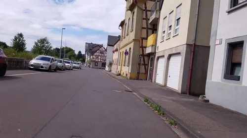
Deutschie Zur Alten Brauerei
Restaurant · Asian, Regional · 2.5 km
Am Ufer
Tu-Sa 18:00-22:30; Su 12:00-14:30,17:30-22:00

Enfes Pizza & Grill
Restaurant · Pizza, Kebab, Noodle · 3.7 km
94 Pfarrer-Kraus-Straße, Koblenz
Mo-Sa 12:00-14:00,17:00-21:00; Su 12:00-21:00
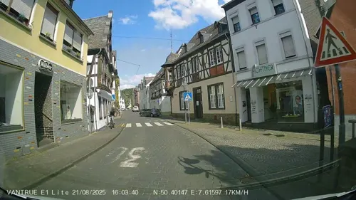
Herzog von Nassau
Restaurant · Balkan · 0.8 km
1 Höhrer Straße, Vallendar
Mo off; Tu-Sa 11:00-14:00,16:30-23:00; PH 11:00-22:00
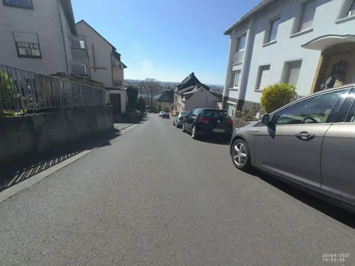
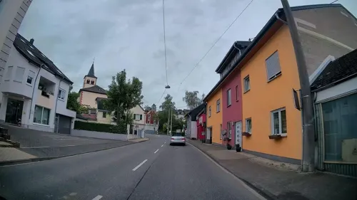
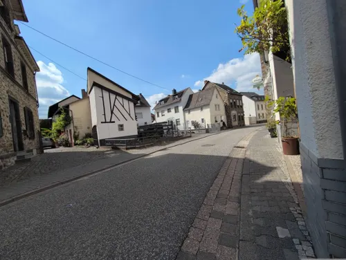
Pizzeria Hahn
Restaurant · Pizza · 2.6 km
54 Hauptstraße, Weitersburg
Mo-Sa 11:30-14:30,17:00-23:00; Tu off; Su 11:30-23:00
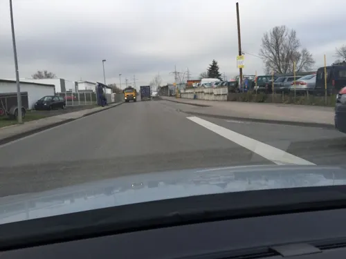
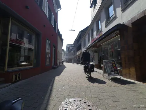
Ristaurante Petrocelli
Restaurant · Italian, Pizza · 0.8 km
40 Heerstraße, Vallendar
We-Mo 11:30-22:00
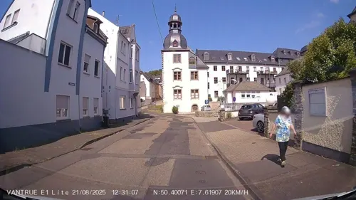
Ristorante Rialto
Restaurant · Italian · 0.7 km
77 Löhrstraße, Vallendar
Tu-Sa 11:30-14:15, 17:30-22:00; Mo off
Rosa Damascena
Restaurant · Oriental · 0.7 km
16 Heerstraße, Vallendar
Mo-Fr 15:30-21:30; Sa, Su 16:00-21:30
Spice of India
Restaurant · Indian · 1.8 km
22 St.-Bernhard-Straße, Koblenz
Mo,We-Sa 11:00-14:00,17:00-23:00; PH,Su 11:00-23:00


55 more on the map.
History
Vallendar is first mentioned around 830–840 AD as the property of the Archbishop of Trier; it was probably, however, of Celtic origin and a lot older (700–600 BC). In 1143 Schoenstatt Abbey was founded. In 1232 the Count of Sayn took possession of the land and began building a castle at the northern edge of the town in 1240. Its foundations today support the Marienburg.
From the 14th century the Archbishop of Trier regained more and more power over the land to become proprietor again in 1681 and in 1767 (for good). Today the Lion of Sayn and the Cross of Trier are evidence of this history in Vallendar's coat of arms.
During the Middle Ages a Palatine high court was located in Vallendar. 1802 the proprietorship went to the Count of Nassau-Weilburg; in 1815 it fell to the Kingdom of Prussia. A rich business life is the reason why Frederick William IV of Prussia granted town rights to Vallendar in 1856. In 1939 Mallendar was added to the town. It was the scene of a military action by the 23rd US Infantry. From 1954 to the 1970s numerous new construction areas were established. Since 1973 the skyline has been dominated by the "Humboldthöhe".
Today Vallendar's appearance is influenced mostly by the internationally renowned Schönstatt and the WHU – Otto Beisheim School of Management and its students.
From the History section of Vallendar on Wikipedia, under CC BY-SA 4.0.
Where to stay10
Churches and places of worship54
Pfarr- und Wallfahrtskirche St. Nikolaus
Church · Roman Catholic · 3.7 km
Immendorfer Straße, Koblenz
Anbetungskirche
Church · Roman Catholic · 1.5 km
6 Berg Schönstatt, Vallendar
Dominikanerinnenkloster Arenberg
Church · Catholic · 3.7 km
1 Cherubine-Willimann-Weg, Koblenz
Evangelische Kirche Bodelschwingh
Church · Protestant · 3.7 km
8 Bodelschwinghstraße, Koblenz
St. Marzellinus und Petrus
Church · Catholic · 1.0 km
27 Kirchstraße, Vallendar
Shopping22
Gas and EV charging12
Schools, colleges and libraries23
CJD Berufsförderungswerk Koblenz
School · 1.1 km
10 Sebastian-Kneipp-Straße, Vallendar
Healthcare6
Map of Vallendar
250 places. The map loads OpenStreetMap tiles when you open it.
Getting there and nearby towns
Siegerlandflughafen (SGE) is the nearest airport with scheduled flights listed in OpenStreetMap, 47 km away.
- Bendorf 4 km northwest, about 4 min by car
- Koblenz 6 km southwest, about 6 min by car
- Mülheim-Kärlich 9 km west, about 9 min by car
- Lahnstein 11 km south, about 11 min by car
- Neuwied 12 km west, about 12 min by car
- Weißenthurm 13 km west, about 13 min by car
- Montabaur 15 km east, about 15 min by car
- Wirges 15 km northeast, about 15 min by car
- Andernach 16 km west, about 16 min by car
- Boppard 19 km south, about 19 min by car
Drive times are estimates from straight-line distance, not routes.
Local news
Headlines from INDB.
Reviews, tips and questions
Loading what members have shared...
Sources and licences
- GeoNames (CC BY 4.0): population, coordinates, regions and time zone
- Mapillary (see each image): photos
- OpenStreetMap contributors (ODbL 1.0): places, airports, map data
- Wikidata (CC0 1.0): elevation, founding date, time zone, website, landmarks and historic places
- Wikimedia Commons (see each image): photos
- Wikipedia (CC BY-SA 4.0): overview and history text
Photo credits
- Vallendar1, LigaDue, CC BY-SA 4.0
- Kaiser-Friedrich-Turm Vallendar, Holger Weinandt, CC BY-SA 3.0 de
- Kaiser-Friedrich-Turm (Vallendar)-04-Spitze, Muck, CC BY-SA 4.0
- Kaiser-Friedrich-Turm (Vallendar)-03a-Plattform, Muck, CC BY-SA 4.0
- Kaiser-Friedrich-Turm (Vallendar)-03-Plattform, Muck, CC BY-SA 4.0
- Kaiser-Friedrich-Turm (Vallendar)-05-Turmkopf, Muck, CC BY-SA 4.0
- Kaiser-Friedrich-Turm (Vallendar)-01, Muck, CC BY-SA 4.0
- Kaiser-Friedrich-Turm (Vallendar)-02-Tafel, Muck, CC BY-SA 4.0
- Vallendar1919, Unknown author Unknown author, Public domain
- 2023 Vallendar, Nippeshûs, RomkeHoekstra, CC BY-SA 4.0
- Rheinstraße 25 Vallendar, Asperatus, CC BY-SA 4.0
- 2023 Vallendar, Wilburg (1698), RomkeHoekstra, CC BY-SA 4.0
- 2023 Vallendar, Krummgasse 5, simmerresidinsje fan de karfoarst Clemens Wenzeslaus (1775), RomkeHoekstra, CC BY-SA 4.0
- Vallendar Religious building 2015, Jacquesverlaeken, CC BY-SA 4.0
- 2023, Vallendar, Heerstraße 39, wente út 1734, RomkeHoekstra, CC BY-SA 4.0
- Burgstraße 8 Vallendar, Asperatus, CC BY-SA 4.0
- 2023 Vallendar, Burgplatz, RomkeHoekstra, CC BY-SA 4.0
- Balduinbruecke in Autumn Sun, Cristina Sarasua, CC BY-SA 4.0
- Pfaffendorfer Brücke 01 Koblenz 2014, Holger Weinandt, CC BY-SA 3.0 de
- Koblenz im Buga-Jahr 2011 - Theater 01, Holger Weinandt, CC BY-SA 3.0 de
- Mutter-Beethoven-Haus 01 Koblenz-Ehrenbreitstein 2013, Holger Weinandt, CC BY-SA 3.0 de
- Schloss Engers 008-, Wolkenkratzer, CC BY-SA 3.0
- Koblenz im Buga-Jahr 2011 - Basilika St Kastor 01, Holger Weinandt, CC BY-SA 3.0 de
- Kartause Koblenz 1789, Joseph Gregor Lang, Public domain
- Vallendar Marienburg 86, Reinhardhauke, CC BY-SA 3.0
- Koblenz im Buga-Jahr 2011 - Ehrenmal des Deutschen Heeres 01, Holger Weinandt, CC BY-SA 3.0 de
- Festung Ehrenbreitstein Luftbild 080, Fritz Geller-Grimm, CC BY-SA 3.0
- Schönstatt - Aanbiddingskerk, RomkeHoekstra, CC BY-SA 3.0
- Koblenz im Buga-Jahr 2011 - Deutsches Eck 01, Holger Weinandt, CC BY-SA 3.0 de
- Adler Koblenz Luetzel 02062012 02, Total number of my uploaded files : 1116, CC BY-SA 3.0
- Kulturfabrik Koblenz, Holger Weinandt, CC BY-SA 3.0 de
- Feste Franz Innenhof 2008, Holger Weinandt, CC BY-SA 3.0
- Koblenz im Buga-Jahr 2011 - Festung Ehrenbreitstein 80, Holger Weinandt, CC BY-SA 3.0 de
- Franzosenfriedhof 03 Koblenz 2013, Holger Weinandt, CC BY-SA 3.0 de
- Mutterhaus Arenberg, Unknown author, CC BY-SA 3.0
- NiederwerthStGeorg9, LigaDue, CC BY-SA 4.0
- St-Nikolaus-Kirche 1 Koblenz-Arenberg 2011, Holger Weinandt, CC BY-SA 3.0 de
- Martin-Luther-Kirche 01 Koblenz 2012, Holger Weinandt, CC BY-SA 3.0 de
- VallendarMarzellinusPetrus4, LigaDue, CC BY-SA 4.0
- Urheiligtum Schönstatt, $traight-$hoota, CC BY-SA 3.0
- Feste Kaiser Franz 001, Wolkenkratzer, CC BY-SA 4.0
- Neuendorfer Flesche 03 Koblenz 2012, Holger Weinandt, CC BY-SA 3.0 de
- Niederwerth Graswerth, Whgler, CC BY-SA 3.0
- Pfarrer-Kraus-Anlagen Koblenz-Arenberg, Holger Weinandt, CC BY-SA 3.0
- Koblenz im Buga-Jahr 2011 - Festung Ehrenbreitstein 15, Holger Weinandt, CC BY-SA 3.0 de
- Volkspark, Matthias Kellermann, CC BY-SA 3.0
- Koblenz, die Konpfortstraße und das Dreikönigenhaus, Dguendel, CC BY 3.0
- Street-level photo, Hightower-, CC BY-SA 4.0
- Street-level photo, bernd1960, CC BY-SA 4.0
- Street-level photo, VIA_CH, CC BY-SA 4.0
- Street-level photo, Hightower-, CC BY-SA 4.0
- Street-level photo, bernd1960, CC BY-SA 4.0
- Street-level photo, changchun1, CC BY-SA 4.0
- Street-level photo, Lulin, CC BY-SA 4.0
- Street-level photo, kalcaaro, CC BY-SA 4.0
- Street-level photo, wladimir, CC BY-SA 4.0
- Street-level photo, kalcaaro, CC BY-SA 4.0
- Street-level photo, VIA_CH, CC BY-SA 4.0
- Street-level photo, Hightower-, CC BY-SA 4.0
- Street-level photo, kalcaaro, CC BY-SA 4.0
- Street-level photo, Hightower-, CC BY-SA 4.0
- Street-level photo, VIA_CH, CC BY-SA 4.0
- Street-level photo, VIA_CH, CC BY-SA 4.0
- Street-level photo, bitnapper, CC BY-SA 4.0
- Street-level photo, VIA_CH, CC BY-SA 4.0
- Street-level photo, kalcaaro, CC BY-SA 4.0
- Street-level photo, kalcaaro, CC BY-SA 4.0
- Street-level photo, wladimir, CC BY-SA 4.0
- Street-level photo, bernd1960, CC BY-SA 4.0
- Street-level photo, kalcaaro, CC BY-SA 4.0
- Street-level photo, kalcaaro, CC BY-SA 4.0
- Street-level photo, Hightower-, CC BY-SA 4.0
- Street-level photo, chuck, CC BY-SA 4.0
- Street-level photo, changchun1, CC BY-SA 4.0
- Street-level photo, chuck, CC BY-SA 4.0
- Street-level photo, kalcaaro, CC BY-SA 4.0


Page built November 9, 2026. Spotted a mistake? Tell us or suggest a place.