


Why visit Pocking
Townapedia lists 20 museums and landmarks, 11 parks and trails, 128 places to eat, 109 places to stay and 4 attractions in and around town.
Highlights include Filmgalerie, Bernsteinmuseum, Dein Atelier and Europa Therme.
Weather in Pocking
Forecast from MET Norway (CC BY 4.0). Full forecast
About Pocking
Pocking (German: [ˈpɔkɪŋ] ; Central Bavarian: Bocking) is a town in the district of Passau, in Lower Bavaria, Germany. It is situated about 30 km south-west of Passau, close to the Austrian border.
From the Wikipedia article Pocking (this version), under CC BY-SA 4.0.
Things to do4



Museums and landmarks20

Dein Atelier
Museum
Die Kunstwerkstatt in Pocking: Malen, Zeichnen und Töpfern für Kinder und Erwachsene
9 Berger Straße, Pocking
Mo 16:30 - 20:00, Tu 10:00 - 17:30, Th 10:00 - 18:30


Schloss Kleeberg
Monument and historic site · 5.0 km
16, Ruhstorf a.d.Rott
8 more on the map.
Parks, trails and playgrounds11

Europa Therme
Sports field and stadium · 5.6 km
23 Kurallee, Bad Füssing
Tu,Th,Sa,Su 07:00-19:00; Mo,We,Fr 07:00-22:00


Restaurants and cafes128

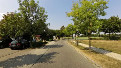
Café am Kreisel - Per Sempre
Cafe · Coffee Shop, Italian, Sandwich, Cake, Pasta, Tea · 4.4 km
Italienische Tages-Caffè-Bar "Per Sempre" in Bad Füssing am Ortseingang neben Getränke Degenhart gegenüber der Tankstelle....
17 Pockinger Straße, Bad Füssing
Mo-Fr 09:00-17:00, Sa 09:00-13:00

Restaurant Sirtaki
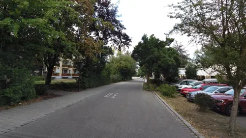
Restaurant · Greek · 6.3 km
50 Inntalstraße, Bad Füssing
Tu-Su 11:00-14:00,17:00-20:30; Mo off; PH off
Taj Mahal
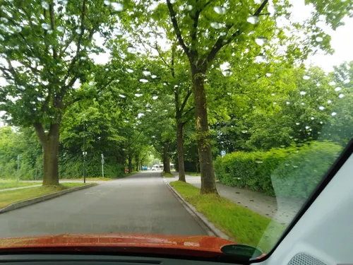
Restaurant · Indian · 5.8 km
11 Safferstettener Straße, Bad Füssing
Mo,Tu 17:00-22:00; We-Su 11:30-14:00,17:00-22:00
Die Hecke
Restaurant · Regional · 5.1 km
1 Eitlöd, Bad Füssing
Mo-Fr 12:00-23:00; Sa 11:00-23:00; Su 09:00-23:00
Havel's das Kaffeehaus-Restaurant
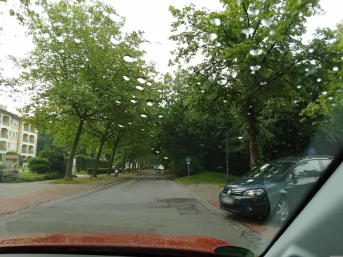
Restaurant · 5.7 km
7 Beethovenstraße, Bad Füssing
Mo-Su 11:00-22:00; Tu off
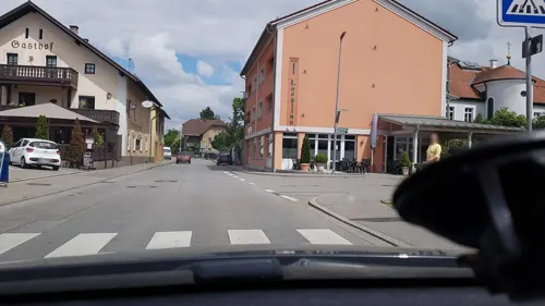
Klosterbäckerei Karlstetter
Cafe
11 Klosterstraße, Pocking
Mo-Fr 06:00-18:30; Sa 06:00-13:30; Su 07:00-18:00
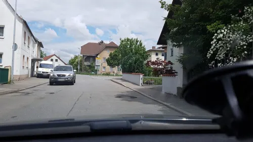


116 more on the map.
History
A Roman settlement was founded in the area of Pocking as early as the 1st century AD. The Bajuwaren tribe settled around Pocking in the 6th century AD. In 820 AD Pocking was first mentioned in a historic document.
Since 1824 Pocking forms its own political community and in 1971 it was granted the privileges of a town.
During the Nazi regime a side camp of the Flossenbürg concentration camp was set up in Pocking.
After World War II the second largest DP camp ("displaced persons") in Germany was located in Pocking. In 1946 the camp housed 7,645 people, mostly of Jewish heritage. It was disbanded in 1949.
The Rottal area to which Pocking belongs is famous for its horse breeding. That is also why the coat of arms of Pocking includes the head of a horse. The other symbols relate to the history of the town and the different villages that formed the political community of Pocking.
From the History section of Pocking on Wikipedia, under CC BY-SA 4.0.
Where to stay109
Churches and places of worship29
Christus der König
Church · Catholic · 4.1 km
6 Dr.-Ottmar-Maurer-Straße, Ruhstorf a.d.Rott
Filialkirche St. Michael
Church · Roman Catholic · 5.9 km
3 Kirchenweg, Bad Füssing
St. Vitus
Church · Roman Catholic · 7.0 km
10 Ruhstorfer Straße, Ruhstorf a.d.Rott
Shopping33
Gas and EV charging9
Schools, colleges and libraries13
Musik- Grund- und Mittelschule
School · 4.4 km
12 Am Schulplatz, Ruhstorf a.d.Rott
Healthcare11
Map of Pocking
250 places. The map loads OpenStreetMap tiles when you open it.
Getting there and nearby towns
Flugplatz Straubing-Wallmühle (RBM) is the nearest airport with scheduled flights listed in OpenStreetMap, 81 km away.
- Bad Füssing 6 km south, about 6 min by car
- Waldkirchen 42 km northeast, about 42 min by car
- Regen 65 km north, about 1 h by car
- Zwiesel 69 km north, about 1 h 15 min by car
- Waldkraiburg 71 km west, about 1 h 15 min by car
- Vilsbiburg 71 km west, about 1 h 15 min by car
- Traunreut 72 km southwest, about 1 h 15 min by car
- Straubing 76 km northwest, about 1 h 15 min by car
- Traunstein 77 km southwest, about 1 h 15 min by car
- Wasserburg am Inn 90 km southwest, about 1 h 30 min by car
Drive times are estimates from straight-line distance, not routes.
Local news
Headlines from INDB.
Reviews, tips and questions
Loading what members have shared...
Sources and licences
- GeoNames (CC BY 4.0): population, coordinates, regions and time zone
- Mapillary (see each image): photos
- OpenStreetMap contributors (ODbL 1.0): places, airports, map data
- Wikidata (CC0 1.0): elevation, founding date, time zone, website
- Wikimedia Commons (see each image): photos
- Wikipedia (CC BY-SA 4.0): overview and history text
Photo credits
- Rathaus Pocking, Konrad Lackerbeck, CC BY 3.0
- Schloss Kleeberg 2, Konrad Lackerbeck, Public domain
- Siebenschlaeferkirche in Rotthof in Germany (interior), Einwohner / Einwohner at German Wikipedia, CC BY-SA 2.0 de
- St. Martin Kirchham 02 Ansicht von Nordosten, Georg Karl Ell, CC BY-SA 4.0
- St. Martin Kühnham-Pocking, Konrad Lackerbeck, CC0
- Marienkirche Ruhstorf, Konrad Lackerbeck, CC BY-SA 3.0
- St. Vitus Eholfing, Konrad Lackerbeck, CC0
- Pfarrkirche Tettenweis, Konrad Lackerbeck, CC BY 3.0
- Schloss und Kirche Schönburg, Konrad Lackerbeck, CC BY 3.0
- DEU Bad Füssing, Christuskirche 0001, -wuppertaler, CC BY 4.0
- Pfarrkirche Christus der König Ruhstorf an der Rott, Konrad Lackerbeck, CC BY 3.0
- Hl. Geist Bad Füssing, Konrad Lackerbeck, CC BY 3.0
- Beschriftungstafel WDG Schulhof, Wissenschaftsstudierer, CC0
- Bronzetafel zur Namensgebung WDG, Wissenschaftsstudierer, CC0
- ISS042-E-283406 - View of Earth, Earth Science and Remote Sensing Unit , Lyndon B. Johnson Space Center, Public domain
- ISS062-E-141798 - View of Earth, Earth Science and Remote Sensing Unit, NASA Johnson Space Center, Public domain
- ISS053-E-86805 - View of Earth, Earth Science and Remote Sensing Unit , Lyndon B. Johnson Space Center, Public domain
- ISS047-E-94893 - View of Earth, Earth Science and Remote Sensing Unit , Lyndon B. Johnson Space Center, Public domain
- ISS056-E-153202 - View of Earth, Earth Science and Remote Sensing Unit, NASA Johnson Space Center, Public domain
- ISS053-E-89280 - View of Earth, Earth Science and Remote Sensing Unit , Lyndon B. Johnson Space Center, Public domain
- ISS042-E-283405 - View of Earth, Earth Science and Remote Sensing Unit , Lyndon B. Johnson Space Center, Public domain
- ISS053-E-168289 - View of Earth, Earth Science and Remote Sensing Unit , Lyndon B. Johnson Space Center, Public domain
- Street-level photo, calile, CC BY-SA 4.0
- Street-level photo, czmrtn, CC BY-SA 4.0
- Street-level photo, czmrtn, CC BY-SA 4.0
- Street-level photo, peppone84, CC BY-SA 4.0
- Street-level photo, calile, CC BY-SA 4.0
- Street-level photo, peppone84, CC BY-SA 4.0
- Street-level photo, calile, CC BY-SA 4.0
- Street-level photo, calile, CC BY-SA 4.0
- Street-level photo, calile, CC BY-SA 4.0
- Street-level photo, ramap, CC BY-SA 4.0
- Street-level photo, czmrtn, CC BY-SA 4.0


Page built November 8, 2026. Spotted a mistake? Tell us or suggest a place.