


Rodalben, Germany
Verbandsgemeinde Rodalben
Rodalben is a town of 7,638 people in Rheinland-Pfalz, Germany.
Why visit Rodalben
Townapedia lists 7 museums and landmarks, 3 parks and trails, 19 places to eat, 3 places to stay and 15 attractions in and around town.
Highlights include Grünbühl, Orleberg and Heidelsburg.
Weather in Rodalben
Forecast from MET Norway (CC BY 4.0). Full forecast
About Rodalben
Rodalben is a Verbandsgemeinde ("collective municipality") in the Südwestpfalz district, in Rhineland-Palatinate, Germany. The seat of the municipality is in Rodalben.
From the Wikipedia article Rodalben (Verbandsgemeinde) (this version), under CC BY-SA 4.0.
Things to do15

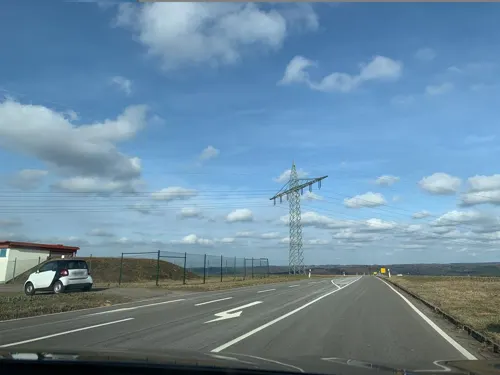

3 more on the map.
Museums and landmarks7

Heidelsburg
Monument and historic site · 4.9 km
Former castle in Germany
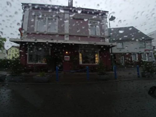
Birthplace Of Dr. Johann Peter Frank Anno 1728 and museum
Monument and historic site · 0.7 km


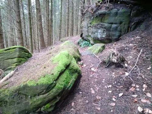
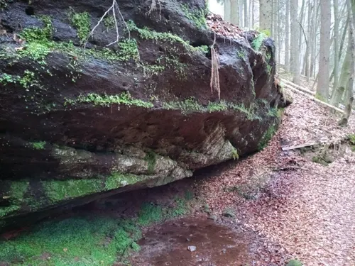
Parks, trails and playgrounds3

Restaurants and cafes19

Bold's Hotel Restaurant Zum Grünen Kranz
Restaurant · Regional
2 Pirmasenser Straße, Rodalben
Mo,We,Fr,Sa,Su 11:00-14:00,17:00+; Tu 17:00+; Th off

Udo‘s Gasthaus
Restaurant · Cake, Friture, German, Ice Cream, Pizza, Regional, Sausage · 1.4 km
28 Erlenring
We-Sa 11:30+; Su 09:00+
Joggel-Hütte
Restaurant · Regional · 1.3 km
3 Auf dem Klinkenberg
We-Su 11:00-20:00
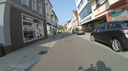
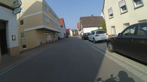


7 more on the map.
Where to stay3
Churches and places of worship3
Shopping6
Gas and EV charging1
Schools, colleges and libraries3
Healthcare4
Map of Rodalben
64 places. The map loads OpenStreetMap tiles when you open it.
Getting there and nearby towns
Zweibruecken Airport (ZQW) is the nearest airport with scheduled flights listed in OpenStreetMap, 18 km away.
- Pirmasens 5 km southwest, about 5 min by car
- Waldfischbach-Burgalben 5 km north, about 5 min by car
- Zweibrücken 20 km west, about 20 min by car
- Kaiserslautern 25 km northeast, about 25 min by car
- Homburg 24 km northwest, about 24 min by car
- Blieskastel 28 km west, about 28 min by car
- Waldmohr 27 km northwest, about 27 min by car
- Bexbach 30 km northwest, about 30 min by car
- Kirkel 30 km west, about 30 min by car
- Neunkirchen 35 km west, about 35 min by car
Drive times are estimates from straight-line distance, not routes.
Local news
Headlines from INDB.
Reviews, tips and questions
Loading what members have shared...
Sources and licences
- GeoNames (CC BY 4.0): population, coordinates, regions and time zone
- Mapillary (see each image): photos
- OpenStreetMap contributors (ODbL 1.0): places, airports, map data
- Wikidata (CC0 1.0): elevation, founding date, time zone, website, landmarks and historic places
- Wikimedia Commons (see each image): photos
- Wikipedia (CC BY-SA 4.0): overview and history text
Photo credits
- Rodalben-Verbandsgemeindeverwaltung-04-gje, Gerd Eichmann, CC BY-SA 4.0
- Rodalben, Restaurant und Hotel Bold, Dguendel, CC BY 4.0
- Rodalben, Blick zum Bruderfelsen, Dguendel, CC BY 4.0
- Rodalben-Hauptstrasse 225ff-18-2026-gje, Gerd Eichmann, CC BY 4.0
- Rodalben-Hauptstrasse 180-etwa-02-Tueren-2026-gje, Gerd Eichmann, CC BY 4.0
- Rodalben-Hauptstrasse 191-02-2026-gje, Gerd Eichmann, CC BY 4.0
- Rodalben-Hauptstrasse 184-Peterhof-08-Schild-2026-gje, Gerd Eichmann, CC BY 4.0
- Rodalben-Hauptstrasse 225ff-16-2026-gje, Gerd Eichmann, CC BY 4.0
- Rodalben-Hauptstrasse 184-Peterhof-06-Tuer-2026-gje, Gerd Eichmann, CC BY 4.0
- Rodalben-Hauptstrasse 196-ehemalige Werkstatt-04-2026-gje, Gerd Eichmann, CC BY 4.0
- Rodalben-Wasserwerk-Hauptstrasse 232-1-gje, Gerd Eichmann, CC BY-SA 3.0
- Rodalben-Wasserwerk-Hauptstrasse 232-2-gje, Gerd Eichmann, CC BY-SA 3.0
- 08050016rodalben-train-station, Pimvantend, CC BY-SA 3.0
- Rodalben, die Kirche St. Josef, Dguendel, CC BY 4.0
- Rodalben, Blick vom Hilschberghaus zur Stadt, Dguendel, CC BY 4.0
- Rodalben, Blick vom Hilschberghaus auf Lohn, Dguendel, CC BY 4.0
- Rodalben, Haus Haustelstraße 4, Dguendel, CC BY 4.0
- Rodalben, Haus Hauptstraße 166, Dguendel, CC BY 4.0
- Rodalben, Haus Hasentalstraße 1, Dguendel, CC BY 4.0
- Rodalben-Pfarrgarten-14-Grabmal Geenen-Inschrift-gje, Gerd Eichmann, CC BY-SA 3.0
- Rodalben-Pfarrgarten-13-Grabmal Geenen-Inschrift-gje, Gerd Eichmann, CC BY-SA 3.0
- Rodalben-Pfarrgarten-04-Grabmal Geenen-Kapelle Maria Trost-gje, Gerd Eichmann, CC BY-SA 3.0
- Rodalben-Pfarrgarten-12-Grabmal Geenen-gje, Gerd Eichmann, CC BY-SA 3.0
- Rodalben-Pfarrgarten-15-Grabmal Geenen-Inschrift-gje, Gerd Eichmann, CC BY-SA 3.0
- Rodalben-Pfarrgarten-05-Kapelle Maria Trost-Tafel-gje, Gerd Eichmann, CC BY-SA 3.0
- Rodalben-Pfarrgarten-03-Grabmal Geenen-Kapelle Maria Trost-gje, Gerd Eichmann, CC BY-SA 3.0
- Rodalben-Pfarrgarten-02-Grabmal Geenen-Kapelle Maria Trost-gje, Gerd Eichmann, CC BY-SA 3.0
- Rodalben-Pfarrgarten-11-Grabmal Geenen-gje, Gerd Eichmann, CC BY-SA 3.0
- Rodalben-Pfarrgarten-01-Kruzifix-Grabmal Geenen-Kapelle Maria Trost-gje, Gerd Eichmann, CC BY-SA 3.0
- Rodalben-Pfarrgarten-16-Grabmal Geenen-Inschrift-gje, Gerd Eichmann, CC BY-SA 3.0
- Rodalben, Innenansicht der Marienkapelle, Dguendel, CC BY 4.0
- Rodalben-Hauptstrasse 149-August Matheis-02-2026-gje, Gerd Eichmann, CC BY 4.0
- Rodalben-Hauptstrasse 128-Cafe Wilhelm-08-2026-gje, Gerd Eichmann, CC BY 4.0
- Rodalben-Hauptstrasse 161-ehemals Dr. Jordan-04-2026-gje, Gerd Eichmann, CC BY 4.0
- Rodalben-Hauptstrasse 160-Modehaus Schlickel-10-2026-gje, Gerd Eichmann, CC BY 4.0
- Rodalben-Hauptstrasse 128-Cafe Wilhelm-06-2026-gje, Gerd Eichmann, CC BY 4.0
- Rodalben-Hauptstrasse 140A-Gabis Deko-Hof-02-2026-gje, Gerd Eichmann, CC BY 4.0
- Rodalben-Hauptstrasse 147-Gasthaus zum Ochsen-03-2026-gje, Gerd Eichmann, CC BY 4.0
- Rodalben-Hauptstrasse 158-China Wok Dao-04-2026-gje, Gerd Eichmann, CC BY 4.0
- Rodalben-Hauptstrasse 153-Blumen Wilhelm-02-2026-gje, Gerd Eichmann, CC BY 4.0
- Heidelsburg, Gabriele Delhey, CC BY-SA 3.0
- Rodalben-Josefskirche-02-gje, Gerd Eichmann, CC BY-SA 3.0
- Rodalben-Marienkirche-20-Winter-gje, Gerd Eichmann, CC BY-SA 3.0
- 2020 Südwestpfalz 0103 Hilschberghaus ji lmnr1, Steffen 962, CC BY-SA 4.0
- Rodalben, Felsenwanderweg Nr.1, an der Bärenhöhle, Dguendel, CC BY 4.0
- Rodalben, Blick vom Bruderfelsen zur Josefskirche, Dguendel, CC BY 4.0
- Street-level photo, teddy73, CC BY-SA 4.0
- Street-level photo, teddy73, CC BY-SA 4.0
- Street-level photo, cyberacid, CC BY-SA 4.0
- Street-level photo, teddy73, CC BY-SA 4.0
- Street-level photo, NorMan61, CC BY-SA 4.0
- Street-level photo, teddy73, CC BY-SA 4.0
- Street-level photo, cyberacid, CC BY-SA 4.0
- Street-level photo, teddy73, CC BY-SA 4.0
- Street-level photo, teddy73, CC BY-SA 4.0
- Street-level photo, teddy73, CC BY-SA 4.0
- Street-level photo, teddy73, CC BY-SA 4.0
- Street-level photo, teddy73, CC BY-SA 4.0
- Street-level photo, bct, CC BY-SA 4.0
- Street-level photo, mfk, CC BY-SA 4.0
- Street-level photo, teddy73, CC BY-SA 4.0
- Street-level photo, teddy73, CC BY-SA 4.0
- Street-level photo, teddy73, CC BY-SA 4.0
- Street-level photo, teddy73, CC BY-SA 4.0
- Street-level photo, mfk, CC BY-SA 4.0
- Street-level photo, mfk, CC BY-SA 4.0
- Street-level photo, NorMan61, CC BY-SA 4.0
- Street-level photo, NorMan61, CC BY-SA 4.0


Page built November 9, 2026. Spotted a mistake? Tell us or suggest a place.