


Why visit Waldmohr
Townapedia lists 8 museums and landmarks, 6 parks and trails, 38 places to eat, 5 places to stay and 1 attraction in and around town.
Highlights include Gustavsburg.
Weather in Waldmohr
Forecast from MET Norway (CC BY 4.0). Full forecast
About Waldmohr
Waldmohr (German pronunciation: [ˈvaltˌmoːɐ̯]) is a town in the Kusel district in Rhineland-Palatinate, Germany. It belongs to the Verbandsgemeinde Oberes Glantal.
From the Wikipedia article Waldmohr (this version), under CC BY-SA 4.0.
Things to do1

Museums and landmarks8

Gustavsburg
Monument and historic site · 1.6 km
5 Höcher Straße, Homburg

Mohrmühle 1257
Monument and historic site · 1.6 km
Ein Stahlkreuz am Straßenrand auf einem großen Stein.
Parks, trails and playgrounds6




Restaurants and cafes38
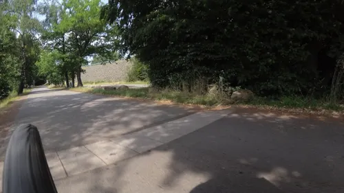
Restaurant Fischerhütte Waldmohr
Restaurant · Burger, Regional · 1.5 km
2 Zur Mohrmühle, Waldmohr
We-Su 11:00-22:00

SportGaststätte SV Reiskirchen
Restaurant · German · 3.1 km
Sehr gute bürgerliche Küche, Übertragung von wichtigsten Fußballspiele
1 Am Reiskircher Sportplatz, Homburg
Tu-Sa 15:00-23:00; Su 11:00-23:00; Mo off
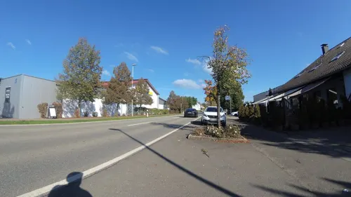
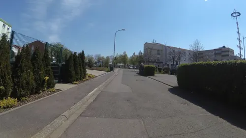


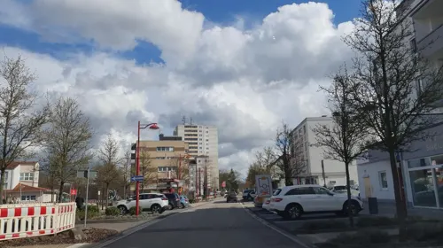
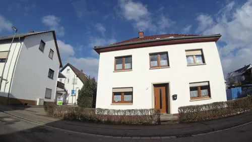
Café Restaurant am Schlossweiher
Cafe · 1.6 km
19 Höcher Straße
We-Su 11:30-18:00
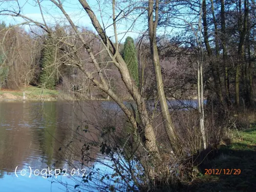
Il Lago Ristorante - Pizzeria
Restaurant · Italian · 2.3 km
104 Kleinottweilerstraße, Homburg
Mo-Su 11:00-22:00
Wirtshaus am Königsbruch
Restaurant · German · 3.6 km
1 Zum Königsbruch, Homburg
We-Fr 15:00-22:00; Sa,Su,PH 12:00-22:00; Mo,Tu off



26 more on the map.
History
In 830, Waldmohr had its first documentary mention in the Lorsch codex as villa Moraha – “village on the boggy brook”. In 1449, the village passed into the lordship of the Dukes of Palatine Zweibrücken and remained under their rule until the duchy itself was swept away by the events of the French Revolution in 1794. Under French rule, Waldmohr became the seat of the like-named canton in the Department of Sarre, thus beginning the village's history as an administrative seat. After the French occupation ended, the Palatinate passed to the Kingdom of Bavaria, with Waldmohr retaining its function as the cantonal seat for 57 villages between Kirkel and Glan-Münchweiler. It lost its place as such only after the separation of the Saar after the First World War. In 1920, Waldmohr was assigned to the Bezirksamt of Kusel and downgraded to a Bezirksamt branch location. In 1946, it was grouped into the then newly founded state of Rhineland-Palatinate, and in 1971, when it became the seat of the Verbandsgemeinde of Waldmohr, it regained some of its lost glory.
From the History section of Waldmohr on Wikipedia, under CC BY-SA 4.0.
Where to stay5
Churches and places of worship8
Katholische Kirche
Church · Catholic · 3.1 km
18 Am Klingbach, Schönenberg-Kübelberg
Shopping6
Gas and EV charging3
Schools, colleges and libraries2
Healthcare3
Map of Waldmohr
80 places. The map loads OpenStreetMap tiles when you open it.
Getting there and nearby towns
Zweibruecken Airport (ZQW) is the nearest airport with scheduled flights listed in OpenStreetMap, 20 km away.
- Homburg 6 km south, about 6 min by car
- Bexbach 7 km southwest, about 7 min by car
- Neunkirchen 12 km west, about 12 min by car
- Ottweiler 12 km west, about 12 min by car
- Kirkel 13 km southwest, about 13 min by car
- Schiffweiler 15 km west, about 15 min by car
- Sankt Wendel 15 km northwest, about 15 min by car
- Zweibrücken 15 km south, about 15 min by car
- Spiesen-Elversberg 16 km southwest, about 16 min by car
- Blieskastel 17 km south, about 17 min by car
Drive times are estimates from straight-line distance, not routes.
Local news
Headlines from INDB.
Reviews, tips and questions
Loading what members have shared...
Sources and licences
- GeoNames (CC BY 4.0): population, coordinates, regions and time zone
- Mapillary (see each image): photos
- OpenStreetMap contributors (ODbL 1.0): places, airports, map data
- Wikidata (CC0 1.0): elevation, founding date, time zone, website
- Wikimedia Commons (see each image): photos
- Wikipedia (CC BY-SA 4.0): overview and history text
Photo credits
- Waldmohr Marktbrunnen 2017 Heinrich Betz, Emeritus, CC BY-SA 4.0
- Waldmohr, die Dorfkirche, Dguendel, CC BY 4.0
- Waldmohr Bürgerhaus 2016 1, Emeritus, CC BY-SA 3.0
- Waldmohr Bürgerhaus 2016 U-förmiger Innenhof 2, Emeritus, CC BY-SA 4.0
- Waldmohr Bürgerhaus 2016 U-förmiger Innenhof 1, Emeritus, CC BY-SA 4.0
- Waldmohr Altes Postamt 2 2016, Emeritus, CC BY-SA 4.0
- Waldmohr Altes Postamt 3 2016, Emeritus, CC BY-SA 4.0
- Waldmohr Altes Postamt 1 2016, Emeritus, CC BY-SA 4.0
- Waldmohr Gedenkstein 1, Emeritus, CC BY-SA 4.0
- Waldmohr Gedenkstein 2, Emeritus, CC BY-SA 4.0
- Waldmohr Kriegerdenkmal 1-1 2016, Emeritus, CC BY-SA 4.0
- Waldmohr Kriegerdenkmal 2-l 2016, Emeritus, CC BY-SA 4.0
- Waldmohr Kriegerdenkmal 2-r 2016, Emeritus, CC BY-SA 4.0
- Waldmohr Kriegerdenkmal 1-2 2016, Emeritus, CC BY-SA 4.0
- Protestantische Kirche in Waldmohr - geo.hlipp.de - 66196, Klaus Graßmück, CC BY-SA 2.0
- Rathaus in Waldmohr - geo.hlipp.de - 66201, Klaus Graßmück, CC BY-SA 2.0
- Jüdischer Friedhof Waldmohr 02, TeKaBe, CC BY-SA 4.0
- Jüdischer Friedhof Waldmohr 01, TeKaBe, CC BY-SA 4.0
- Bücherzelle Waldmohr, TeKaBe, CC BY-SA 4.0
- Jägersburg-Weiher-Gustavsburg 001, Thommess (Christian Bohr) at de.wikipedia, CC BY-SA 3.0
- Jägersburg Evangelische Adventskirche 01, atreyu, CC BY-SA 4.0
- Reiskirchen Auferstehungskirche 01, atreyu, CC BY-SA 4.0
- Jägersburg St. Josef 02, atreyu, CC BY-SA 4.0
- Z1 Compact front 1, Punkt64, CC BY-SA 4.0
- IPhone 6 moved front camera "Crescentgate", Punkt64, CC BY-SA 4.0
- IPhone 6 alle Farben, Punkt64, CC BY-SA 4.0
- IPhone 6 alle Farben 2, Punkt64, CC BY-SA 4.0
- Z1 Compact back 2, Punkt64, CC BY-SA 4.0
- Xperia Z1 Compact white corner view, Punkt64, CC BY-SA 4.0
- Z1 Compact back1, Punkt64, CC BY-SA 4.0
- Bahnhof Jägersburg 2021, TeKaBe, CC BY-SA 4.0
- Street-level photo, teddy73, CC BY-SA 4.0
- Street-level photo, teddy73, CC BY-SA 4.0
- Street-level photo, ramap, CC BY-SA 4.0
- Street-level photo, teddy73, CC BY-SA 4.0
- Street-level photo, teddy73, CC BY-SA 4.0
- Street-level photo, Felix23, CC BY-SA 4.0
- Street-level photo, teddy73, CC BY-SA 4.0
- Street-level photo, teddy73, CC BY-SA 4.0
- Street-level photo, teddy73, CC BY-SA 4.0
- Street-level photo, teddy73, CC BY-SA 4.0
- Street-level photo, giskoe, CC BY-SA 4.0
- Street-level photo, teddy73, CC BY-SA 4.0
- Street-level photo, teddy73, CC BY-SA 4.0
- Street-level photo, ramap, CC BY-SA 4.0
- Street-level photo, marczoutendijk, CC BY-SA 4.0
- Street-level photo, teddy73, CC BY-SA 4.0
- Street-level photo, connyk, CC BY-SA 4.0
- Street-level photo, teddy73, CC BY-SA 4.0
- Street-level photo, chuck, CC BY-SA 4.0
- Street-level photo, Felix23, CC BY-SA 4.0
- Street-level photo, teddy73, CC BY-SA 4.0
- Street-level photo, ramap, CC BY-SA 4.0
- Street-level photo, teddy73, CC BY-SA 4.0
- Street-level photo, ramap, CC BY-SA 4.0
- Street-level photo, teddy73, CC BY-SA 4.0
- Street-level photo, teddy73, CC BY-SA 4.0
- Street-level photo, teddy73, CC BY-SA 4.0


Page built November 9, 2026. Spotted a mistake? Tell us or suggest a place.