
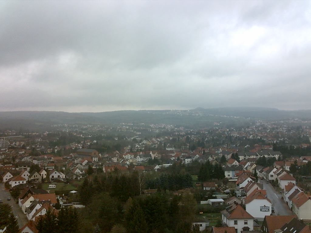


Why visit Bexbach
Townapedia lists 69 museums and landmarks, 15 parks and trails, 139 places to eat, 10 places to stay and 15 attractions in and around town.
Highlights include Neunkircher Zoo, Lichtenkopf, Grubenmuseum and Frankenholz 1.
Weather in Bexbach
Forecast from MET Norway (CC BY 4.0). Full forecast
About Bexbach
Bexbach (German pronunciation: [ˈbɛksˌbax] ) is a town in the Saarpfalz district, in Saarland, Germany. It is situated on the river Blies, approximatively 6 km east of Neunkirchen, and 25 km northeast of Saarbrücken. The Saarländisches Bergbaumuseum (Saarland Mining Museum) is located in the town.
From the Wikipedia article Bexbach (this version), under CC BY-SA 4.0.
Things to do15


3 more on the map.
Museums and landmarks69
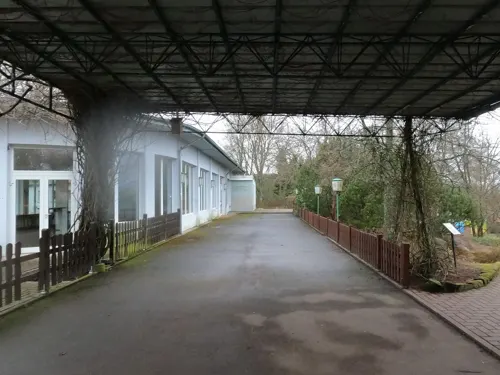

Frankenholz 1
Monument and historic site · 3.7 km
Hauptförderschacht der Grube Frankenholz

Frankenholz 2
Monument and historic site · 3.8 km
Förderung, Seilfahrt und Wetterschacht

Frankenholz 6
Monument and historic site · 3.8 km
Ziegelsteinmauerung erhalten

Klemmlochstollen
Monument and historic site · 3.1 km
Markierungspfahl, Bruchsteine und Ziegelsteine sichtbar



Bexbachschacht 2
Monument and historic site · 2.6 km
1904 nachgerissen, obere 134 m rund ausgebaut

Einfallende Strecke
Monument and historic site · 4.9 km
Nicht auf Kliverkarte verzeichnet

Einfallende Strecke Flöz 2 Nr. 1
Monument and historic site · 4.7 km
Auf Kliverkarte verzeichnet.
Kisselschacht
Monument and historic site · 3.6 km
Nachnutzung des verfüllten Schachtes als Klärgrube
57 more on the map.
Parks, trails and playgrounds15






3 more on the map.
Restaurants and cafes139
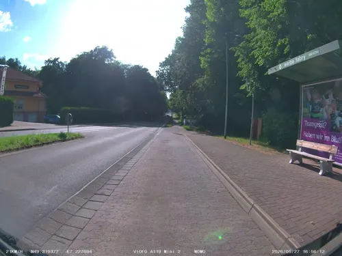
Hostellerie Bacher-Wögerbauer
Restaurant · French · 3.6 km
2 Limbacher Straße, Neunkirchen
Mo closed, Tu-Sa 18:00-00:00, Su 12:00-15:00
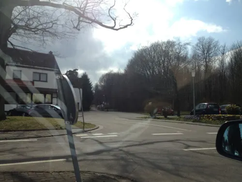

Pizzeria Da Paolo
Restaurant · Italian, Pizza · 3.9 km
13 Beim Wallratsroth, Neunkirchen
Tu-Su 11:30-14:00,17:30-23:30
Zum Landsknecht
Restaurant · Regional · 4.1 km
5a Geißenbrünnchen
We 09:00-14:00, 17:30-22:00; Th-Sa 09:00-14:00, 17:30-22:00; Su 09:00-14:30
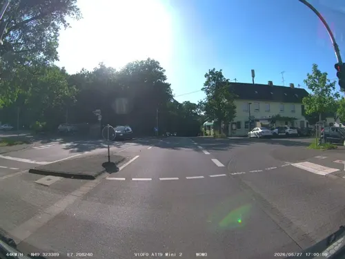
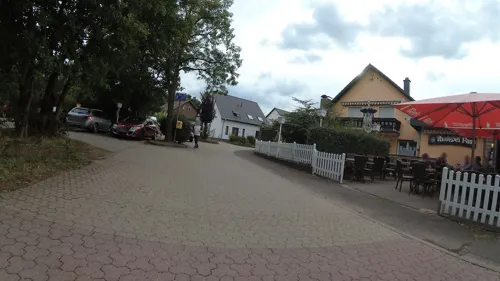
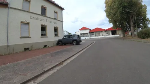
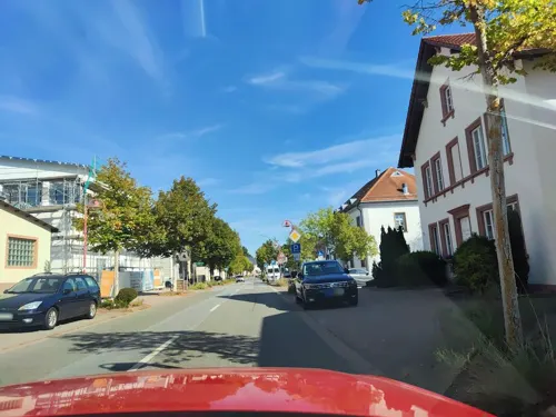
Bäckerei Konditorei Leibrock
Bakery · 3.6 km
Mo,Tu,Th,Fr 05:30-12:00, 14:30-17:30; We,Sa 05:30-12:00;Su,PH off
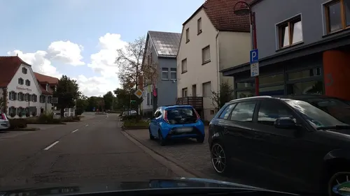
Alassio
Restaurant · Kebab, Greek, Italian, Mexican, Pizza · 3.7 km
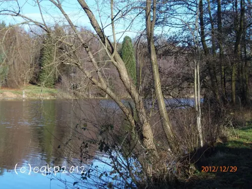


Il Lago Ristorante - Pizzeria
Restaurant · Italian · 4.9 km
104 Kleinottweilerstraße, Homburg
Mo-Su 11:00-22:00
127 more on the map.
Where to stay10
Churches and places of worship26
Jakobuskirche
Church · Protestant · 1.6 km
33 Bliestalstraße, Bexbach
Protestantische Kirche
Church · Protestant · 2.7 km
21 Jägersburger Straße, Bexbach
Shopping24
Gas and EV charging14
Schools, colleges and libraries18
Stadtbibliothek Neunkirchen — Zweigstelle Furpach
Library · 3.4 km
7 Zur Ewigkeit, Neunkirchen
Healthcare11
Map of Bexbach
250 places. The map loads OpenStreetMap tiles when you open it.
Getting there and nearby towns
Saarbrücken Airport (SCN) is the nearest airport with scheduled flights listed in OpenStreetMap, 18 km away.
- Kirkel 7 km south, about 7 min by car
- Ottweiler 9 km northwest, about 9 min by car
- Schiffweiler 9 km west, about 9 min by car
- Spiesen-Elversberg 9 km west, about 9 min by car
- Friedrichsthal 12 km west, about 12 min by car
- Zweibrücken 14 km southeast, about 14 min by car
- Merchweiler 15 km west, about 15 min by car
- Quierschied 15 km west, about 15 min by car
- Illingen 15 km west, about 15 min by car
- Sulzbach 15 km west, about 15 min by car
Drive times are estimates from straight-line distance, not routes.
Local news
Headlines from INDB.
Reviews, tips and questions
Loading what members have shared...
Sources and licences
- GeoNames (CC BY 4.0): population, coordinates, regions and time zone
- Mapillary (see each image): photos
- OpenStreetMap contributors (ODbL 1.0): places, airports, map data
- Wikidata (CC0 1.0): elevation, founding date, time zone, website
- Wikimedia Commons (see each image): photos
- Wikipedia (CC BY-SA 4.0): overview and history text
Photo credits
- Bexbachaussicht, -- Xocolatl 11:44, 22 April 2006 (UTC), Public domain
- Bexbach Güterstraße 3, Reise Reise, CC BY-SA 4.0
- Bahnhofsschild Bexbach 090201, Clic, CC BY-SA 4.0
- Bexbach Bahnhof, Reise Reise, CC BY-SA 4.0
- Bexbach, die Rathausstraße, Dguendel, CC BY 4.0
- Bexbach, die Kirche St. Martin, Dguendel, CC BY 4.0
- Bexbach Rathaus I, Reise Reise, CC BY-SA 4.0
- Bexbach, Haus Rathausstraße 5, Dguendel, CC BY 4.0
- Bexbach protestantische Kirche 1, Reise Reise, CC BY-SA 4.0
- Bexbach, die evangelische Kirche, Dguendel, CC BY 4.0
- Bexbach protestantisches Pfarrhaus, Reise Reise, CC BY-SA 4.0
- Ehemaliges Kassenhäuschen vor dem saarländischen Bergbaumuseum Bexbach, Gripweed, CC BY-SA 4.0
- Hindenburgturm (Bexbach)-02, Muck, CC BY-SA 4.0
- Bexbach protestantische Kirche 2, Reise Reise, CC BY-SA 4.0
- Bexbach Hindenburgturm, Reise Reise, CC BY-SA 4.0
- Hindenburgturm (Bexbach)-01, Muck, CC BY-SA 4.0
- 20210710 Kraftwerk Bexbach 02, Flocci Nivis, CC BY 4.0
- Aerial image of the Neunkirchen-Bexbach airfield, Carsten Steger, CC BY-SA 4.0
- Eingang Zoo NK, Gripweed, CC BY-SA 3.0
- Limbach Protestantische Elisabeth-Kirche 05, atreyu, CC BY-SA 3.0
- Ruine Frankenholz, Zecke64, CC BY-SA 3.0
- Kasbruch Felsen, Gripweed, CC BY-SA 3.0
- Kohlhof - Katholische Kirche St. Georg, Dietmar Ruff, CC BY-SA 2.0 de
- NSG Kühnbruch, TeKaBe, CC BY-SA 4.0
- Protestantische Kirche Bexbach 2011, Felix König, CC BY 3.0
- Höchen Protestantische Kirche 05, atreyu, CC BY-SA 3.0
- Hangard Heilige Familie 01, atreyu, CC BY-SA 3.0
- Niederbexbach Protestantische Kirche 02, atreyu, CC BY-SA 3.0
- Höchen Katholische Kirche 02, atreyu, CC BY-SA 3.0
- Strix leptogrammica 02, Flocci Nivis, CC BY-SA 4.0
- Wellesweiler Paul-Gerhardt-Kirche 01, atreyu, CC BY-SA 4.0
- Oberbexbach Katholische Kirche St. Barbara 02, atreyu, CC BY-SA 3.0
- Protestantische Kirche Kleinottweiler, Gripweed, CC BY-SA 3.0
- Frankenholz 1, Zecke64, CC BY-SA 3.0
- Frankenholz 2, Zecke64, CC BY-SA 3.0
- Frankenholz 6, Zecke64, CC BY-SA 3.0
- Klemmlochstollen, Zecke64, CC BY-SA 3.0
- Zimmermannsfelsen Hangard, Pelayo 08, CC BY-SA 4.0
- Stollen SM20021, Zecke64, CC BY-SA 3.0
- Stollen SM20020, Zecke64, CC BY-SA 3.0
- Street-level photo, teddy73, CC BY-SA 4.0
- Street-level photo, soulcover, CC BY-SA 4.0
- Street-level photo, teddy73, CC BY-SA 4.0
- Street-level photo, teddy73, CC BY-SA 4.0
- Street-level photo, chuck, CC BY-SA 4.0
- Street-level photo, soulcover, CC BY-SA 4.0
- Street-level photo, teddy73, CC BY-SA 4.0
- Street-level photo, teddy73, CC BY-SA 4.0
- Street-level photo, babbegeier, CC BY-SA 4.0
- Street-level photo, teddy73, CC BY-SA 4.0
- Street-level photo, teddy73, CC BY-SA 4.0
- Street-level photo, teddy73, CC BY-SA 4.0
- Street-level photo, teddy73, CC BY-SA 4.0
- Street-level photo, teddy73, CC BY-SA 4.0
- Street-level photo, teddy73, CC BY-SA 4.0
- Street-level photo, teddy73, CC BY-SA 4.0
- Street-level photo, teddy73, CC BY-SA 4.0
- Street-level photo, teddy73, CC BY-SA 4.0
- Street-level photo, teddy73, CC BY-SA 4.0
- Street-level photo, giskoe, CC BY-SA 4.0
- Street-level photo, teddy73, CC BY-SA 4.0
- Street-level photo, teddy73, CC BY-SA 4.0
- Street-level photo, babbegeier, CC BY-SA 4.0
- Street-level photo, teddy73, CC BY-SA 4.0
- Street-level photo, teddy73, CC BY-SA 4.0
- Street-level photo, teddy73, CC BY-SA 4.0
- Street-level photo, teddy73, CC BY-SA 4.0
- Street-level photo, teddy73, CC BY-SA 4.0


Page built November 8, 2026. Spotted a mistake? Tell us or suggest a place.