


Schlangen, Germany
Schlangen is a town of 9,137 people in North Rhine-Westphalia, Germany.
Why visit Schlangen
Townapedia lists 145 museums and landmarks, 39 parks and trails, 77 places to eat, 12 places to stay and 76 attractions in and around town.
Highlights include Kleiner Viadukt, Altenbeken Viaduct, Bollmühle and Messerkerl.
Weather in Schlangen
Forecast from MET Norway (CC BY 4.0). Full forecast
About Schlangen
Schlangen (German pronunciation: [ˈʃlaŋən] ) is a municipality in the Lippe district of North Rhine-Westphalia, Germany. Schlangen has about 9,200 inhabitants as of 2025 and enjoys relative prosperity. Located a few kilometers away from Detmold, the municipality stretches from the edge of the Senne to the southern slopes of the Teutoburg Forest.
From the Wikipedia article Schlangen (this version), under CC BY-SA 4.0.
Things to do76

Kleiner Viadukt
Bridge · 7.3 km
Kleiner Viadukt: Historische Eisenbahnbrücke, auch Dune-Viadukt genannt; 230 m lang, etwa 33 m hoch, erbaut 1851–1853, überspannt das...

Altenbeken Viaduct
Bridge · 7.6 km
Railway viaduct near Altenbeken, Germany

Bad Lippspringe
Monument and historic site · 3.6 km
Municipality of Germany



Odins Filmtheater
Cinema and theater · 3.5 km
7 Arminiuspark, Bad Lippspringe
We 19:30+; Fr 19:30+

Römerberg
Scenic view · 4.6 km
Der Name "Römerberg" hat nichts mit "den Römern" zu tun sondern leitet sich ab von der Ortsbezeichnung der germanische Siedlung Druhen,...
Aussichtspunkt Papenberg
Scenic view · 6.5 km
Vom knapp 290 m hohen Aussichtspunkt Papenberg mit Blick nach Westen: vorn Neuenbeken, dahinter Benhausen, dann Paderborn mit 92 m hohem...
64 more on the map.
Museums and landmarks145

Bollmühle
Monument and historic site · 6.9 km
1 An der Bollmühle, Horn-Bad Meinberg

Messerkerl
Monument and historic site · 5.0 km
Erinnerung an die Ermordung des Wanderhändlers (Töddenhändler) "Messerkerl" Albert Meyer 1752.



133 more on the map.
Parks, trails and playgrounds39

Bielsteinhöhle mit Lukenloch
Hiking and trails · 5.2 km
Artenreicher Buchenmischwald. 300 m lange als Einsturzdoline entstandenee Bielsteinchlucht mit bis zu 15 m hohen Felswänden und 42 m...

Egge-Nord
Hiking and trails · 6.4 km
Naturschutzgebiet nur auf befestigten Wegen oder markierten Wanderwegen betreten, Reiten nur auf befestigten Wegen, Hunde nur angeleint.

Egge-Nord
Hiking and trails · 7.4 km
Naturschutzgebiet nur auf befestigten Wegen oder markierten Wanderwegen betreten, Reiten nur auf befestigten Wegen, Hunde nur angeleint.
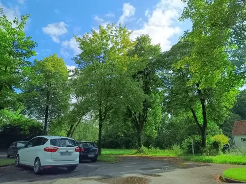




Lippeniederung zwischen Bad Lippspringe und Mastbruch
Hiking and trails · 7.2 km


27 more on the map.
Restaurants and cafes77

Café Leon
Cafe · Georgian · 3.5 km
25 Arminiusstraße, Bad Lippspringe
Tu-Fr 14:00-22:00; Sa-Su 12:00-22:00

Café-Restaurant Bauerkamp
Restaurant · Regional · 4.1 km
1 Bauerkamp, Schlangen
We-Fr 14:00-22:00; Sa, Su 11:00-22:00; Mo, Tu off
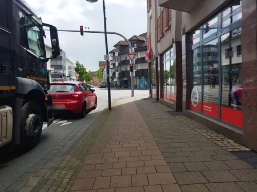
Drachenhaus
Restaurant · Chinese · 3.6 km
147 Detmolder Straße
Mo, We-Sa 11:30-14:30, 17:30-22:30; Su 11:30-14:30, 16:30-22:00

Gelateria La Luna
Ice cream · Ice Cream · 3.5 km
5 Arminiuspark, Bad Lippspringe
Mo 12:00-18:30; Tu-Fr 10:30-18:30; Sa, Su, PH 11:00-18:30
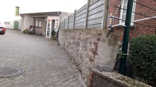
Josefs Gasthaus Sibille
Restaurant · German
10 Ortsmitte, Schlangen
Mo 17:00+; We,Th,Fr 17:00+; Sa-Su 12:00+; Tu off
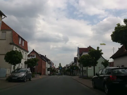
Mertens
Bakery · 3.6 km
24 Bielefelder Straße, Bad Lippspringe
Mo-Fr 06:00-13:00, 14:30-18:30; Sa 06:00-13:00; Su 07:30-10:30
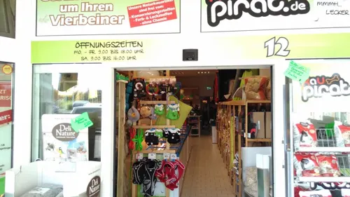
Pizza Blitz
Restaurant · Italian, Pizza · 4.7 km
14 An der Weberei, Bad Lippspringe
Tu-Th 12:00-14:30, 17:00-21:00; Fr 12:00-21:00; Sa-Su 13:00-21:00
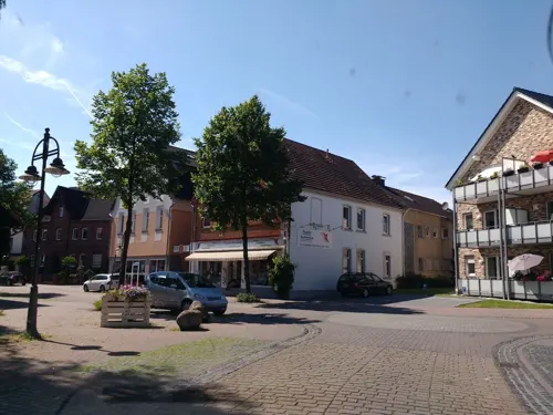
Pizzeria Mara
Restaurant · Indian, Pizza
1 Langetalstraße, Schlangen
Tu 17:00-23:00; We-Mo 17:00-23:00
Redingerhof
Restaurant · German · 6.0 km
1 Renkerweg, Bad Lippspringe
We-Fr 17:00-22:00; Sa 14:00-22:00; Su 10:00-22:00
Syrtaki
Restaurant · Greek · 3.7 km
143 Detmolder Straße, Bad Lippspringe
We-Mo 11:30-14:30, 17:30-23:00
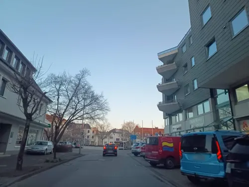


The Sheep
Cafe · Coffee Shop, Breakfast · 3.6 km
38 Friedrich-Wilhelm-Weber-Platz, Bad Lippspringe
Mo 09:30-16:00; Tu off; We-Su 09:30-18:30
65 more on the map.
Where to stay12
Best Western Premier Park Hotel & Spa
Motel and hotel · 3.5 km
4 Peter-Hartmann-Allee, Bad Lippspringe
Wohnmobilstellplatz Bad Lippspringe
Campground · 3.5 km
10 Burgstraße, Bad Lippspringe
Churches and places of worship25
Evangelische Kirche Schlangen
Church · Reformed
Kirchplatz, Schlangen
St. Marien
Church · Roman Catholic · 7.3 km
2 Roncalliplatz, Paderborn
Russisch Orthodoxe Kirche
Church · Russian Orthodox · 2.5 km
2 Maximilian-Kolbe-Straße, Bad Lippspringe
Shopping23
Gas and EV charging9
Schools, colleges and libraries11
Katholische öffentliche Bibliothek
Library · 3.8 km
22 Martinstraße, Bad Lippspringe
Healthcare9
Map of Schlangen
250 places. The map loads OpenStreetMap tiles when you open it.
Getting there and nearby towns
Airport Paderborn/Lippstadt (PAD) is the nearest airport with scheduled flights listed in OpenStreetMap, 27 km away.
- Bad Lippspringe 4 km southwest, about 4 min by car
- Paderborn 12 km southwest, about 12 min by car
- Hövelhof 13 km west, about 13 min by car
- Detmold 14 km north, about 14 min by car
- Bad Driburg 15 km southeast, about 15 min by car
- Steinheim 18 km east, about 18 min by car
- Delbrück 20 km west, about 20 min by car
- Lage 21 km north, about 21 min by car
- Oerlinghausen 20 km northwest, about 20 min by car
- Lichtenau 22 km south, about 22 min by car
Drive times are estimates from straight-line distance, not routes.
Local news
Headlines from INDB.
Reviews, tips and questions
Loading what members have shared...
Sources and licences
- GeoNames (CC BY 4.0): population, coordinates, regions and time zone
- Mapillary (see each image): photos
- OpenStreetMap contributors (ODbL 1.0): places, airports, map data
- Wikidata (CC0 1.0): elevation, founding date, time zone, website, landmarks and historic places
- Wikimedia Commons (see each image): photos
- Wikipedia (CC BY-SA 4.0): overview and history text
Photo credits
- Oesterholz-Haustenbeck Haustenturm.20060819, Marcus 1969, CC BY 3.0
- Kirche Schlangen, Saturos123, CC BY-SA 3.0
- Katholische Kirche Schlangen, Saturos123, CC BY-SA 3.0
- Trafoturmstation Schlangen, Saturos123, CC BY-SA 3.0
- Bismarck Denkmal Schlangen, Saturos123, CC BY-SA 3.0
- Dorfbrunnen Schlangen, Saturos123, CC BY-SA 3.0
- Mammutbaum in Schlangen, Saturos123, CC BY-SA 3.0
- Schlangen - 01 - Im Dorfe 2 (2), Tsungam, CC BY-SA 3.0
- Schlangen - 01 - Im Dorfe 2 (1), Tsungam, CC BY-SA 3.0
- Rathaus Schlangen 1, Saturos123, CC BY-SA 3.0
- Schlangen historisch, Saturos123, CC BY-SA 3.0
- Schlangen - 01 - Im Dorfe 2 (3), Tsungam, CC BY-SA 3.0
- Schlangen - 07 - Evangelische Kirche Schlangen (2), Tsungam, CC BY-SA 3.0
- Schlangen - 07 - Evangelische Kirche Schlangen (1), Tsungam, CC BY-SA 3.0
- Schlangen - 07 - Evangelische Kirche Schlangen (3), Tsungam, CC BY-SA 3.0
- Kirchturm Schlangen, Saturos123, CC BY-SA 3.0
- Bauernhof Schlangen, Saturos123, CC BY-SA 3.0
- Adventhaus Schlangen, Saturos123, CC BY-SA 3.0
- Schlangen - 14 - Rosenstr. 31, Tsungam, CC BY-SA 3.0
- Grundschule Schlangen, Saturos123, CC BY-SA 3.0
- Hauptschule Schlangen, Saturos123, CC BY-SA 3.0
- Rathaus Schlangen 2, Saturos123, CC BY-SA 3.0
- Dorfplatz Schlangen, Saturos123, CC BY-SA 3.0
- Jüdischer Friedhof Schlangen, Saturos123, CC BY-SA 3.0
- Schlangen - 2025-11-22 - Rund um Schlangen (IMG 20251122 145918), Tsungam, CC BY-SA 4.0
- Altenbeken Viadukt03 2011-03-19, KlausFoehl, CC BY-SA 3.0
- Bl-rathaus, Photo by Gmoeller, CC BY 1.0
- Paderborn Kath.Bonifatiuskirche-2, Paderborn_Kath.Bonifatiuskirche.jpg : ludger1961 derivative work: Rabanus Flavus ( talk ), CC BY-SA 3.0
- Barnacken, Jörg Braukmann, CC BY-SA 3.0
- Bad Lippspringe-St.Martin.20090626, Marcus 1969, CC BY-SA 3.0
- Schlangen - 2014-07-31 - Hohlsteinhoehle (13), Tsungam, CC BY-SA 4.0
- Museum Rotkreuzgeschichtliche Sammlung in Westfalen-Lippe, Grugerio, CC BY-SA 3.0
- Bad Lippspringe Kath.Kirche Sankt Marien, ludger1961, CC BY-SA 3.0
- Neuenbeken-St. Marien, Athde, CC0
- Schlangen - 2015-04-12 - LIP-008 Emkental (08), Tsungam, CC BY-SA 3.0
- Schlangen - 2015-08-29 - LIP-058 Oesterholzer Bruch, Haverkampsee (02), Tsungam, CC BY-SA 4.0
- Schlangen - 2015-04-09 - LIP-062 Schwedenschanze (2), Tsungam, CC BY-SA 4.0
- Horn - 13.1 - An der Bollmühle 1 (3), Tsungam, CC BY-SA 3.0
- Paderborn - 2015-10-18 - St Joseph Marienloh (18), Tsungam, CC BY-SA 4.0
- Horn-Bad Meinberg - 2014-05-02 - Velmerstot, Silberbach (01), Tsungam, CC BY-SA 3.0
- Bad Lippspringe - 2021-12-26 - Evangelische Kirche (DSC 4214), Tsungam, CC BY-SA 4.0
- Kleiner Viadukt Neuenbeken von Norden, Eah, CC BY-SA 3.0
- Altenbeken - 2016-01-31 - Messerkerl (1), Tsungam, CC BY-SA 4.0
- AnnemarieKusserow, Umertens, CC BY-SA 4.0
- BertaEdelmann, Umertens, CC BY-SA 4.0
- BettyLewy, Umertens, CC BY-SA 4.0
- ClaraLorch, Umertens, CC BY-SA 4.0
- ElfriedNaumann, Umertens, CC BY-SA 4.0
- ElisabethKusserow, Umertens, CC BY-SA 4.0
- ElseAbrahams, Umertens, CC BY-SA 4.0
- EmilieMeyer, Umertens, CC BY-SA 4.0
- Horn-Bad Meinberg - 2014-06-06 - LIP-020 - Bielsteinschlucht (1), Tsungam, CC BY-SA 3.0
- Horn-Bad Meinberg - 2014-05-02 - Velmerstot, Silberbach (18), Tsungam, CC BY-SA 3.0
- Altenbeken - 2016-05-21 - PB-047K1 Egge-Nord (034), Tsungam, CC BY-SA 4.0
- Schlangen - 2015-08-29 - LIP-062 Schwedenschanze (02), Tsungam, CC BY-SA 4.0
- Bad Lippspringe - 2016-05-20 - PB-024 Egge-Nord (001), Tsungam, CC BY-SA 4.0
- Friedliches Emkental, Sybil Brighthill, CC BY-SA 4.0
- Schlangen - 2014-07-31 - NSG Hohlsteinhoehle (01), Tsungam, CC BY-SA 4.0
- Paderborn - 2015-10-18 - NSG Lippeniederung zwischen Bad Lippspringe und Mastbruch (04), Tsungam, CC BY-SA 4.0
- Oesterholz - Oesterholzer Bruch - 3, Ath, CC0
- Bad Lippspringe - 2016-05-20 - PB-043 Rosenberg (012), Tsungam, CC BY-SA 4.0
- Street-level photo, thetornado76, CC BY-SA 4.0
- Street-level photo, bielebog, CC BY-SA 4.0
- Street-level photo, derlipper, CC BY-SA 4.0
- Street-level photo, thetornado76, CC BY-SA 4.0
- Street-level photo, thetornado76, CC BY-SA 4.0
- Street-level photo, changchun1, CC BY-SA 4.0
- Street-level photo, derlipper, CC BY-SA 4.0
- Street-level photo, zuse, CC BY-SA 4.0
- Street-level photo, amenophis, CC BY-SA 4.0
- Street-level photo, thetornado76, CC BY-SA 4.0
- Street-level photo, derlipper, CC BY-SA 4.0
- Street-level photo, thetornado76, CC BY-SA 4.0
- Street-level photo, thetornado76, CC BY-SA 4.0
- Street-level photo, Schmarvis, CC BY-SA 4.0
- Street-level photo, thetornado76, CC BY-SA 4.0
- Street-level photo, changchun1, CC BY-SA 4.0
- Street-level photo, thetornado76, CC BY-SA 4.0
- Street-level photo, derlipper, CC BY-SA 4.0
- Street-level photo, bielebog, CC BY-SA 4.0
- Street-level photo, thetornado76, CC BY-SA 4.0
- Street-level photo, derlipper, CC BY-SA 4.0
- Street-level photo, Schmarvis, CC BY-SA 4.0
- Street-level photo, Schmarvis, CC BY-SA 4.0
- Street-level photo, derlipper, CC BY-SA 4.0
- Street-level photo, thetornado76, CC BY-SA 4.0


Page built November 9, 2026. Spotted a mistake? Tell us or suggest a place.