


Why visit Schwarmstedt
Townapedia lists 8 museums and landmarks, 6 parks and trails, 33 places to eat, 8 places to stay and 2 attractions in and around town.
Highlights include Aronia Hofladen Schwarmstedt, Hofladen Hofcafé Landleben, Rittergut Alt Schwarmstedt and Blankenhagen Castle.
Weather in Schwarmstedt
Forecast from MET Norway (CC BY 4.0). Full forecast
About Schwarmstedt
Schwarmstedt (German pronunciation: [ˈʃvaʁmʃtɛt]) is a municipality in the Heidekreis in Lower Saxony, Germany. It is situated near the confluence of the rivers Aller and Leine, approx. 20 km south of Bad Fallingbostel, and 30 km east of Nienburg. Further districts of the municipality are
From the Wikipedia article Schwarmstedt (this version), under CC BY-SA 4.0.
Things to do2

Aronia Hofladen Schwarmstedt
Farm and orchard · 1.0 km
8 Am Varrenbruch, Schwarmstedt
Apr-Sep: Mo-Sa 10:00-18:00, Su 10:00-12:00; Oct-Mar: Mo-Fr...
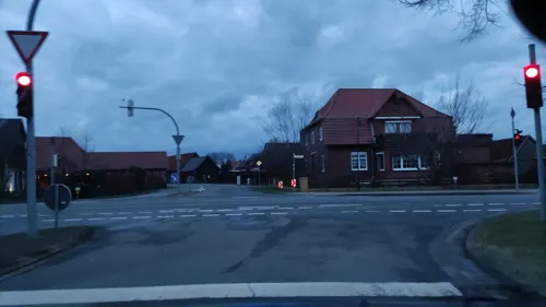
Museums and landmarks8

Rittergut Alt Schwarmstedt
Monument and historic site · 0.7 km
Herrenhaus des Lentheschen Guts
10 Mühlenweg, Schwarmstedt

Blankenhagen Castle
Monument and historic site · 6.2 km
Lowland castle in Germany
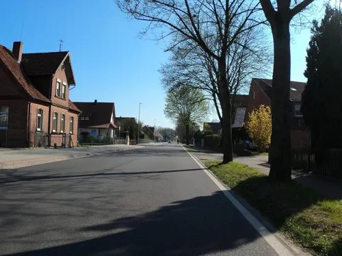

Uhlenburg
Monument and historic site · 3.4 km
Castle in Lower Saxony, Germany
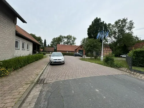


Historische Ölpumpe Hansa 6
Monument and historic site · 4.3 km
Pferdekopfpumpe zur Erinnerung an das Erdölfeld Hansa
Parks, trails and playgrounds6

Hallenbad Schwarmstedt
Sports field and stadium · 0.6 km
4 Am Beu, Schwarmstedt
Tu 08:00-20:00; We 07:00-20:00; Th 13:00-20:00; Fr 13:00-20:00; Su...
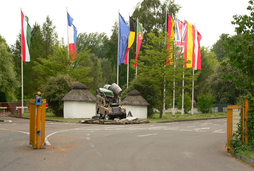

Tepe's Gasthof - Kegelbahn & SKY Sportsbar
Sports field and stadium
12 Kirchstraße, Schwarmstedt

Restaurants and cafes33
Plesse's Gasthof
Restaurant · Regional · 4.2 km
12 Schwarmstedter Straße, Buchholz (Aller)
Tu,Th-Sa 17:00+; Su,PH 10:00-13:00,17:00+
Antiquitäten Café
Cafe · Coffee Shop · 1.3 km
1 Am Hohen Ufer, Schwarmstedt
"Termine nach Vereinbarung"
Grill Taverne Korfu
Restaurant · Greek · 0.6 km
5 Celler Straße, Schwarmstedt
Mo,We,Th 17:00-23:00;Fr-Su 11:00-14:30,17:00-23:00
Hellas
Restaurant · Greek
2 Marktstraße, Schwarmstedt
Mo-Fr 17:00-23:00; Sa,Su,PH 11:30-14:30,17:00-23:00
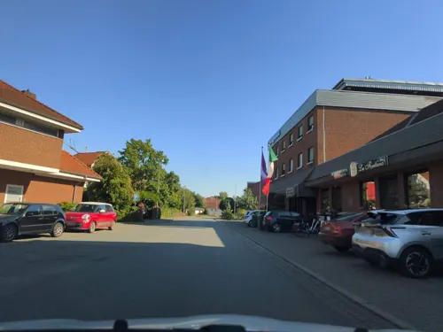
La Fontana
Restaurant · Italian
1 Moorstraße, Schwarmstedt
Tu-Fr,Su 11:00-14:30, Tu-Fr,Su 17:30-22:00, Sa 17:30-22:00; PH off

Ristorante Santa Lucia
Restaurant · Italian · 0.7 km
4 Mönkeberg, Schwarmstedt
12:00-15:00,17:30-22:30
Sonmat
Restaurant · Korean
24 Hauptstraße, Schwarmstedt
Tu-Su 12:00-15:00,18:00-21:00; Fr,Sa 12:00-15:00,18:00-22:00; PH off

Backstube Bundschuh
Bakery · 3.2 km
1 Junkernstraße, Neustadt am Rübenberge
Tu, Th 09:30-18:00; Sa07:00-12:00

Cafe Konfitee Aronia
Cafe · 1.0 km
8 Am Varrenbruch, Schwarmstedt
Apr-Sep: Mo-Sa 10:00-18:00, Su 12:00-18:00


21 more on the map.
History
The area around the church of Schwarmstedt (ecclesia swarmstede) have been
donated by the Edelherr Mirabilis to the Bishopric of Minden around 1150AD.
The old church of Schwarmstedt was replaced around 1500AD by a new church (St. Laurentius Church), which stands to this day. It is presumed that the land changed ownership at the end of the 14th century and was then owned by the duchy of Braunschweig-Lüneburg.
From the History section of Schwarmstedt on Wikipedia, under CC BY-SA 4.0.
Where to stay8
Campingplatz des Heimatzoo Festivals
Campground · 2.7 km
5 Oberhäuser Weg, Schwarmstedt
Churches and places of worship8
St. Gorgoniuskirche
Church · Lutheran · 4.8 km
8 Kirchende, Neustadt am Rübenberge
Neuapostolische Kirche Gemeinde Schwarmstedt
Church · New Apostolic · 0.6 km
27 Am Ring, Schwarmstedt
Shopping11
Gas and EV charging13
Schools, colleges and libraries5
Healthcare2
Map of Schwarmstedt
96 places. The map loads OpenStreetMap tiles when you open it.
Getting there and nearby towns
Hannover Airport (HAJ) is the nearest airport with scheduled flights listed in OpenStreetMap, 24 km away.
- Wietze 16 km east, about 16 min by car
- Walsrode 20 km north, about 20 min by car
- Bad Fallingbostel 22 km north, about 22 min by car
- Neustadt am Rübenberge 22 km southwest, about 22 min by car
- Hambühren 24 km east, about 24 min by car
- Langenhagen 27 km south, about 27 min by car
- Nienburg 27 km west, about 27 min by car
- Isernhagen Farster Bauerschaft 28 km southeast, about 28 min by car
- Bergen 27 km northeast, about 27 min by car
- Garbsen 29 km south, about 29 min by car
Drive times are estimates from straight-line distance, not routes.
Local news
Headlines from INDB.
Reviews, tips and questions
Loading what members have shared...
Sources and licences
- GeoNames (CC BY 4.0): population, coordinates, regions and time zone
- Mapillary (see each image): photos
- OpenStreetMap contributors (ODbL 1.0): places, airports, map data
- Wikidata (CC0 1.0): elevation, founding date, time zone, website, landmarks and historic places
- Wikimedia Commons (see each image): photos
- Wikipedia (CC BY-SA 4.0): overview and history text
Photo credits
- Rathaus Schwarmstedt IMG 6196, Losch at German Wikipedia, Attribution
- Hauptstraße 7, 1, Schwarmstedt, Heidekreis, GeorgDerReisende, CC BY-SA 4.0
- Hauptstraße 7, 2, Schwarmstedt, Heidekreis, GeorgDerReisende, CC BY-SA 4.0
- Hauptstraße 7, 3, Schwarmstedt, Heidekreis, GeorgDerReisende, CC BY-SA 4.0
- Hauptstraße 14, 1, Schwarmstedt, Heidekreis, GeorgDerReisende, CC BY-SA 4.0
- Maschstraße 2, 4, Schwarmstedt, Heidekreis, GeorgDerReisende, CC BY-SA 4.0
- Unter den Eichen 2, 3, Schwarmstedt, Heidekreis, GeorgDerReisende, CC BY-SA 4.0
- Maschstraße 2, 1, Schwarmstedt, Heidekreis, GeorgDerReisende, CC BY-SA 4.0
- Maschstraße 2, 5, Schwarmstedt, Heidekreis, GeorgDerReisende, CC BY-SA 4.0
- In den Fuhren 1, 1, Schwarmstedt, Heidekreis, GeorgDerReisende, CC BY-SA 4.0
- Unter den Eichen 2, 1, Schwarmstedt, Heidekreis, GeorgDerReisende, CC BY-SA 4.0
- Unter den Eichen 2, 2, Schwarmstedt, Heidekreis, GeorgDerReisende, CC BY-SA 4.0
- St. Laurentius, 2, Schwarmstedt, Heidekreis, GeorgDerReisende, CC BY-SA 4.0
- Unter den Eichen 2a, 1, Schwarmstedt, Heidekreis, GeorgDerReisende, CC BY-SA 4.0
- Grabstein, Kirchhof St. Laurentius, 1, Schwarmstedt, Heidekreis, GeorgDerReisende, CC BY-SA 4.0
- Bushaltestelle Rathaus, 1, Schwarmstedt, Heidekreis, GeorgDerReisende, CC BY-SA 4.0
- Maschstraße, 1, Schwarmstedt, Heidekreis, GeorgDerReisende, CC BY-SA 4.0
- Kriegerdenkmal, 1, Schwarmstedt, Heidekreis, GeorgDerReisende, CC BY-SA 4.0
- Maschstraße 10, 4, Schwarmstedt, Heidekreis, GeorgDerReisende, CC BY-SA 4.0
- Am Beu 1, 1, Schwarmstedt, Heidekreis, GeorgDerReisende, CC BY-SA 4.0
- Maschstraße 10a, 1, Schwarmstedt, Heidekreis, GeorgDerReisende, CC BY-SA 4.0
- Maschstraße 10, 2, Schwarmstedt, Heidekreis, GeorgDerReisende, CC BY-SA 4.0
- Maschstraße 10a, 3, Schwarmstedt, Heidekreis, GeorgDerReisende, CC BY-SA 4.0
- Maschstraße 10, 1, Schwarmstedt, Heidekreis, GeorgDerReisende, CC BY-SA 4.0
- Am Beu 5, 2, Schwarmstedt, Heidekreis, GeorgDerReisende, CC BY-SA 4.0
- Maschstraße 10, 3, Schwarmstedt, Heidekreis, GeorgDerReisende, CC BY-SA 4.0
- Schmiedestraße 2, 1, Schwarmstedt, Heidekreis, GeorgDerReisende, CC BY-SA 4.0
- Maschstraße 5, 2, Schwarmstedt, Heidekreis, GeorgDerReisende, CC BY-SA 4.0
- Maschstraße 5, 1, Schwarmstedt, Heidekreis, GeorgDerReisende, CC BY-SA 4.0
- Kirchstraße 14, 1, Schwarmstedt, Heidekreis, GeorgDerReisende, CC BY-SA 4.0
- Kirchstraße 24, 4, Schwarmstedt, Heidekreis, GeorgDerReisende, CC BY-SA 4.0
- Bushaltestelle Edeka-Aldi, 1, Schwarmstedt, Heidekreis, GeorgDerReisende, CC BY-SA 4.0
- Celler Straße 25, 1, Schwarmstedt, Heidekreis, GeorgDerReisende, CC BY-SA 4.0
- Celler Straße 39, 1, Schwarmstedt, Heidekreis, GeorgDerReisende, CC BY-SA 4.0
- Kirchstraße 7, 1, Schwarmstedt, Heidekreis, GeorgDerReisende, CC BY-SA 4.0
- Am Beu 5, 1, Schwarmstedt, Heidekreis, GeorgDerReisende, CC BY-SA 4.0
- Maschstraße 12, 2, Schwarmstedt, Heidekreis, GeorgDerReisende, CC BY-SA 4.0
- Maschstraße 12, 1, Schwarmstedt, Heidekreis, GeorgDerReisende, CC BY-SA 4.0
- Maschstraße 12, 3, Schwarmstedt, Heidekreis, GeorgDerReisende, CC BY-SA 4.0
- Bushaltestelle Celler Straße, 2, Schwarmstedt, Heidekreis, GeorgDerReisende, CC BY-SA 4.0
- Burg Blankenhagen Haupthügel, Benutzer:AxelHH, Public domain
- Uhlenburg Steinschüttung, Benutzer:Axel Hindemith, Public domain
- Serengetipark Eingang, Axel Hindemith, Public domain
- St.Laurentius-Kirche Schwarmstedt IMG 3433, Losch at German Wikipedia, Attribution
- St.Gorgonius Niederstöcken IMG 3807, Losch at German Wikipedia, Attribution
- Norddrebber, St.-Gertrud-Kapelle (5), Subbass1, CC BY-SA 4.0
- Herrenhaus Alt Schwarmstedt, ChristianSW, CC0
- Kapelle Esperke (Neustadt am Rübenberge) IMG 5492, losch, CC BY-SA 3.0
- Street-level photo, live, CC BY-SA 4.0
- Street-level photo, thetornado76, CC BY-SA 4.0
- Street-level photo, hotteliene, CC BY-SA 4.0
- Street-level photo, hotteliene, CC BY-SA 4.0
- Street-level photo, hotteliene, CC BY-SA 4.0
- Street-level photo, live, CC BY-SA 4.0
- Street-level photo, moenk, CC BY-SA 4.0
- Street-level photo, mfa, CC BY-SA 4.0
- Street-level photo, hotteliene, CC BY-SA 4.0
- Street-level photo, hotteliene, CC BY-SA 4.0
- Street-level photo, moenk, CC BY-SA 4.0
- Street-level photo, hotteliene, CC BY-SA 4.0
- Street-level photo, saschahaberkorn, CC BY-SA 4.0
- Street-level photo, saschahaberkorn, CC BY-SA 4.0
- Street-level photo, Langfahrer, CC BY-SA 4.0
- Street-level photo, saschahaberkorn, CC BY-SA 4.0
- Street-level photo, hotteliene, CC BY-SA 4.0
- Street-level photo, Langfahrer, CC BY-SA 4.0
- Street-level photo, Langfahrer, CC BY-SA 4.0
- Street-level photo, maturion, CC BY-SA 4.0
- Street-level photo, hotteliene, CC BY-SA 4.0
- Street-level photo, live, CC BY-SA 4.0
- Street-level photo, maturion, CC BY-SA 4.0
- Street-level photo, live, CC BY-SA 4.0
- Street-level photo, thx, CC BY-SA 4.0


Page built November 9, 2026. Spotted a mistake? Tell us or suggest a place.