


Why visit Telgte
Townapedia lists 90 museums and landmarks, 78 parks and trails, 104 places to eat, 26 places to stay and 19 attractions in and around town.
Highlights include Grünling-Bio, Hof Spielbrink, Relígio and Bischofshäuschen.
Weather in Telgte
Forecast from MET Norway (CC BY 4.0). Full forecast
About Telgte
Telgte (German pronunciation: [ˈtɛlktə] , regionally [ˈtɛlçtə]; Low German: Teegte) is a town in the Warendorf district, North Rhine-Westphalia, Germany, on the river Ems 12 km east of Münster and 15 km west of Warendorf. Telgte is famous as a place of pilgrimage, the Marian pilgrimage from Osnabrück to Telgte.
From the Wikipedia article Telgte (this version), under CC BY-SA 4.0.
Things to do19

Telgenkämmerken
Farm and orchard
Münsterländer Spezialitäten
Mo-Fr 09:00-18:00; Sa 09:00-13:00; Apr-Jun Su 09:00-13:00

Theater im Pumpenhaus
Cinema and theater · 10.1 km
Historic theater building

Theater Münster
Cinema and theater · 10.7 km
Theatre and opera house in Münster (Westphalia), Germany

Wolfgang Borchert Theater
Cinema and theater · 10.4 km
Privately owned theater in Munster, Germany
Hof Schwermann
Farm and orchard · 6.9 km
29, Münster
Mo-Fr 10:00-13:00,14:30-18:30; Sa 10:00-18:00; Su 10:00-17:00
7 more on the map.
Museums and landmarks90


Bischofshäuschen
Monument and historic site · 7.4 km
Geburtshaus des Bischofs Johann Bernhard Brinkmann
4 Kirchplatz, Everswinkel

Mitmachmuseum Up'n Hoff
Museum · 7.5 km
Interaktives Landwirtschaftsmuseum
31 Wester, Everswinkel
"nur nach Anmeldung, Mitte April bis Mitte Oktober"
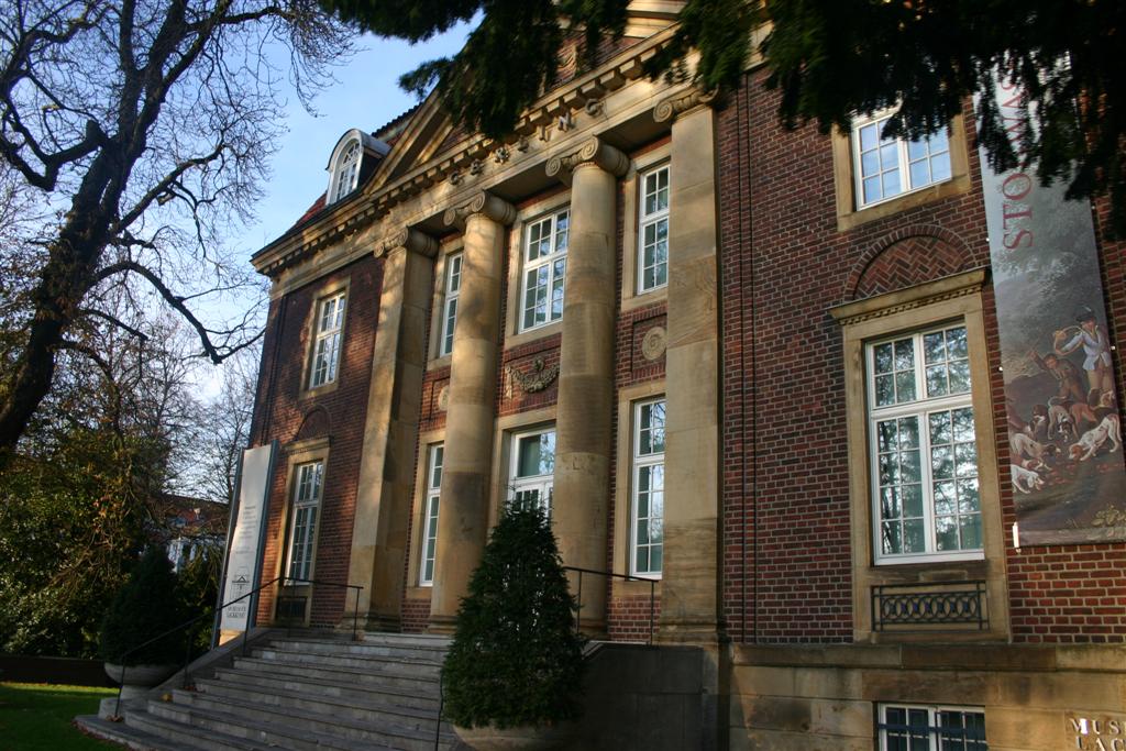


Burg Halstenbeck (abgegangen)
Monument and historic site · 4.7 km
Ehem. Burg, 1377 zerstört, 2003 über Bodenuntersuchungen lokalisiert und mit Baumreihen im Gelände symbolisiert
Trafostation Werk 883
Monument and historic site · 4.5 km
Westfalenstation; Bügeltransformator; "Henkelmannturm"
4b Körberheide, Münster
78 more on the map.
Parks, trails and playgrounds78

BeverBad
Sports field and stadium · 7.5 km
22 Hanfgarten
Mo off; Tu 06:30-08:00,09:15-10:15,15:00-21:00; We 15:00-21:00; Th...
Vitus-Bad
Sports field and stadium · 7.5 km
Abweichende Öffnungszeiten in den Ferien, siehe https://www.gemeindewerke-everswinkel.de/de/vitus-bad/oeffnungszeiten.php
29 Alverskirchener Straße, Everswinkel
Mo,We,Fr 14:30-21:00; Tu 06:00-08:00,14:30-21:00; Th 06:00-21:00;...

Golfclub Gut Hahues zu Telgte
Golf course · 4.0 km
5 Harkampsheide, Telgte
Apr-Oct: Tu-Fr 10:00-17:00; Apr-Oct: Sa-Su 11:00-14:00; Nov-Apr:...

Haus Langen
Hiking and trails · 4.1 km
Reste einer Turmhügelburg, Zerstört im Jahr 1276, teilweiser Wiederaufbau im 18. Jhd



66 more on the map.
Restaurants and cafes104
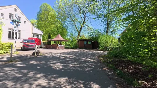
Landgasthof Pleister Mühle
Restaurant · Regional · 5.8 km
196 Pleistermühlenweg, Münster
Mo,Th,Fr 17:00-22:30; Sa 12:00-22:30; PH,Su 12:00-21:30
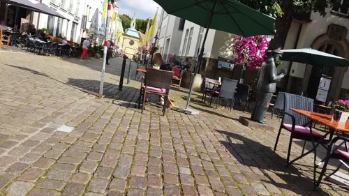

Berdelhafen
Restaurant · German, Regional · 4.1 km
52 Berdel, Telgte
Fr 16:30-24:00; Sa,Su 09:30-24:00; Mo-Th off
Bonvivan
Restaurant · Italian
26 Steinstraße, Telgte
Mo-Fr 17:00-22:00; Sa 11:00-22:00; Su 11:30-22:00
Griechischer-Grill-Elia
Restaurant · Greek
27 Königstraße, Telgte
Mo-Fr 11:30-14:30,17:00-21:30; PH,Su 17:00-21:30; Sa off
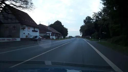
Hong Bin II
Restaurant · Asian · 7.3 km
9 Auf der Laer, Münster
Mo-Sa 12:00-15:00, 17:00-23:00; Su,PH 12:00-23:00
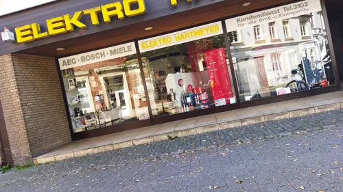
Im wilden Mann
Bar and pub · Snacks
25 Emsstraße, Telgte
Mo-Tu off; We-Fr 17:00-01:00; Sa-Su 15:00-01:00
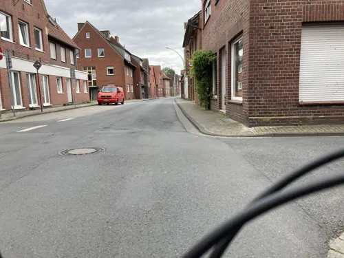



92 more on the map.
History
The region around Telgte was already inhabited by Saxon tribes during post-Roman times. In the course of the Saxon wars at the hands of Charlemagne, this region was Christianised. Ludgerus, the first bishop of Münster, built a church in Telgte. This parish church was probably a wooden construct.
Telgte developed at a fork of larger trade routes to the North Sea and Baltic Sea, due to a ford that was able to cross the river, Ems.
Telgte received town privileges in 1238. 1469 Telgte is mentioned as a member of the Hanseatic League.
Around 1500 there were several large fires. In one of these fires, the old church perished. Prince-Bishop Franz von Waldeck of Münster was granted asylum in Telgte during the Münster Rebellion of the Anabaptists in the 1530s. Telgte suffered from the plague three times, so in 1599 more than half of the inhabitants died.
The Jewish community in Telgte existed until 1941. During Kristallnacht, the synagogue was desecrated and destroyed and the cemetery was removed in 1942, by Brownshirts and students. Today, commemorative plaques at these locations remind us of Telgte's Jewish history.
During the 20th century, Telgte's structure was formed, adding Westbevern to its district.
From the History section of Telgte on Wikipedia, under CC BY-SA 4.0.
Where to stay26
Churches and places of worship33
Clemenskirche
Church · Catholic · 0.6 km
3 Kardinal-von-Galen-Platz, Telgte
Marienkapelle
Church · Roman Catholic · 7.4 km
7 Kirchplatz, Everswinkel
Shopping50
Gas and EV charging10
Westfalen-Tankstelle Helmut Schattauer
Gas station · 7.7 km
160-162 Mondstraße, Münster
Schools, colleges and libraries29
Healthcare15
Map of Telgte
250 places. The map loads OpenStreetMap tiles when you open it.
Getting there and nearby towns
Münster Osnabrück Airport (FMO) is the nearest airport with scheduled flights listed in OpenStreetMap, 18 km away.
- Münster 11 km west, about 11 min by car
- Warendorf 14 km east, about 14 min by car
- Versmold 26 km east, about 26 min by car
- Hilter 30 km northeast, about 30 min by car
- Hasbergen 31 km northeast, about 31 min by car
- Hamm 33 km south, about 33 min by car
- Osnabrück 37 km northeast, about 37 min by car
- Werne 37 km south, about 37 min by car
- Westerkappeln 38 km north, about 38 min by car
- Wallenhorst 44 km north, about 44 min by car
Drive times are estimates from straight-line distance, not routes.
Local news
Headlines from INDB.
Reviews, tips and questions
Loading what members have shared...
Sources and licences
- GeoNames (CC BY 4.0): population, coordinates, regions and time zone
- Mapillary (see each image): photos
- OpenStreetMap contributors (ODbL 1.0): places, airports, map data
- Wikidata (CC0 1.0): elevation, founding date, time zone, website, landmarks and historic places
- Wikimedia Commons (see each image): photos
- Wikipedia (CC BY-SA 4.0): overview and history text
Photo credits
- Telgte (15926227228), photobeppus, CC BY-SA 2.0
- Telgte (16087666536), photobeppus, CC BY-SA 2.0
- Ave in Telgte - 492576960, Jens-Olaf, CC BY 2.0
- Bahnhof Telgte (16111649591), photobeppus, CC BY-SA 2.0
- Stolpersteine Telgte Ritterstr 58, Gmbo 2013, CC0
- Stolpersteinlage Telgte Ritterstr 58, Gmbo 2013, CC0
- Stolperstein Telgte Ritterstr 58 Maria Josefa Unger, Gmbo 2013, CC0
- Stolperstein Telgte Ritterstr 58 Josef Emil Unger, Gmbo 2013, CC0
- Telgte (Germany) (15924891429), photobeppus, CC BY-SA 2.0
- Stolpersteine Telgte Königstr 43, Gmbo 2013, CC0
- Stolperstein Telgte Königstr 43 Karl Heinz Steinhardt, Gmbo 2013, CC0
- Stele 2013 3 Telgte Königstr 43, Gmbo 2013, CC0
- Stele 2013 1 Telgte Königstr 43, Gmbo 2013, CC0
- Stele Telgte Königstr 43, Gmbo 2013, CC0
- Stele 2013 2 Telgte Königstr 43, Gmbo 2013, CC0
- Stele 2013 Telgte Königstr 43, Gmbo 2013, CC0
- Stolpersteinlage Telgte Königstr 43, Gmbo 2013, CC0
- Stele 2013 4 Telgte Königstr 43, Gmbo 2013, CC0
- Stolperstein Telgte Königstr 43 Siegfried Mildenberg, Gmbo 2013, CC0
- Stolperstein Telgte Königstr 43 Henriette Mildenberg, Gmbo 2013, CC0
- Stolpersteine Telgte Bahnhofstr 14, Gmbo 2013, CC0
- Stolperstein Telgte Bahnhofstr 14 Johanna Auerbach, Gmbo 2013, CC0
- Stolperstein Telgte Bahnhofstr 14 Hermann Auerbach, Gmbo 2013, CC0
- Stolpersteinlage Telgte Bahnhofstr 14, Gmbo 2013, CC0
- Telgte (Germany) (16109031391), photobeppus, CC BY-SA 2.0
- ESML Bücherregal Telgte, Elisabeth S. Meyer-Lassahn, CC BY-SA 3.0
- Stolperstein Telgte Steinstr 4 Kurt Auerbach, Gmbo 2013, CC0
- Stolpersteinlage Telgte Steinstr 4, Gmbo 2013, CC0
- Stolperstein Telgte Steinstr 4 Klara Auerbach, Gmbo 2013, CC0
- Stolperstein Telgte Steinstr 4 Fanny Auerbach, Gmbo 2013, CC0
- Muenster Theater im Pumpenhaus 6407, Rüdiger Wölk This photo was taken by Rüdiger Wölk . Please credit this photo Rüdiger Wölk, Münster . View all photos (large page) of Rüdiger Wölk I would also appreciate an email to..., CC BY-SA 2.5
- Muenster Stadttheater (81), Rüdiger Wölk, CC BY-SA 2.0 de
- Muenster,Wolfgang Borchert Theater8864, Rüdiger Wölk, CC BY-SA 2.0 de
- Münster (Westfalen) Museum für Lackkunst, No machine-readable author provided. Abbi assumed (based on copyright claims)., CC BY-SA 2.5
- Münster, Villa ten Hompel -- 2021 -- 9395, Dietmar Rabich, CC BY-SA 4.0
- Muenster-Kreuzkirche, User:Knoe, CC BY-SA 2.5
- Institut der Feuerwehr, Florian Adler, CC BY-SA 3.0
- Burg Halstenbeck, Overberg, CC BY-SA 3.0
- Ostbevern Christuskirche, Daniel Brockpähler, CC BY-SA 3.0
- Münster, Dyckburg-Kirche -- 2014 -- 8436 -- Ausschnitt, Dietmar Rabich, CC BY-SA 4.0
- Wolbeck St. Nikolaus Turm, Daniel Brockpähler, CC BY-SA 3.0
- Krippenmuseum Telgte, Unknown author, CC BY-SA 3.0
- MuensterStKonradWest, STBR, CC BY 2.5
- EverswinkelStMagnus0222, Rüdiger Wölk, CC BY-SA 2.0 de
- St.PetronillaMünster, Luminanz, CC BY-SA 3.0
- Knabenkraut (Breitblättriges), Kookaburra91156, CC BY-SA 4.0
- Marienkapelle in Everswinkel, Wikiwinkel, CC BY-SA 4.0
- Everswinkel Johanneskirche, Daniel Brockpähler, CC BY-SA 3.0
- Bevermündung DSC0972, Rainer Halama, CC BY-SA 4.0
- Ostbevern, Schirlheide -- 2014 -- 8474, Dietmar Rabich, CC BY-SA 4.0
- Münster, Handorf, Werse und Auwald Stapelskotten -- 2020 -- 9554, Dietmar Rabich, CC BY-SA 4.0
- WallfahrtskapelleTelgte, MrsMyer at German Wikipedia, CC BY-SA 3.0
- Telgte, Clemenskirche und Gnadenkapelle -- 2014 -- 8455 -- Ausschnitt, Dietmar Rabich, CC BY-SA 4.0
- SRH-Telgte03, St. Rochus-Hospital Telgte GmbH, CC BY-SA 4.0
- Street-level photo, Morina, CC BY-SA 4.0
- Street-level photo, mikemw, CC BY-SA 4.0
- Street-level photo, changchun1, CC BY-SA 4.0
- Street-level photo, changchun1, CC BY-SA 4.0
- Street-level photo, changchun1, CC BY-SA 4.0
- Street-level photo, changchun1, CC BY-SA 4.0
- Street-level photo, changchun1, CC BY-SA 4.0
- Street-level photo, changchun1, CC BY-SA 4.0
- Street-level photo, changchun1, CC BY-SA 4.0
- Street-level photo, changchun1, CC BY-SA 4.0
- Street-level photo, mikemw, CC BY-SA 4.0
- Street-level photo, changchun1, CC BY-SA 4.0
- Street-level photo, kgvx, CC BY-SA 4.0
- Street-level photo, descilla, CC BY-SA 4.0
- Street-level photo, mikemw, CC BY-SA 4.0
- Street-level photo, alucardo, CC BY-SA 4.0
- Street-level photo, Morina, CC BY-SA 4.0
- Street-level photo, descilla, CC BY-SA 4.0
- Street-level photo, Morina, CC BY-SA 4.0
- Street-level photo, Morina, CC BY-SA 4.0
- Street-level photo, changchun1, CC BY-SA 4.0
- Street-level photo, changchun1, CC BY-SA 4.0
- Street-level photo, kgvx, CC BY-SA 4.0
- Street-level photo, kgvx, CC BY-SA 4.0
- Street-level photo, Morina, CC BY-SA 4.0
- Street-level photo, descilla, CC BY-SA 4.0


Page built November 8, 2026. Spotted a mistake? Tell us or suggest a place.