


Why visit Kulmbach
Townapedia lists 83 museums and landmarks, 29 parks and trails, 146 places to eat, 15 places to stay and 22 attractions in and around town.
Highlights include Hofkäserei Weigel, Kulmbacher-Weideschwein, Bayerisches Brauereimuseum and Geschwister Gummi Stiftung.
Weather in Kulmbach
Forecast from MET Norway (CC BY 4.0). Full forecast
About Kulmbach
Kulmbach (German pronunciation: [ˈkʊlmbax] ) is the capital of the district of Kulmbach in Bavaria in Germany. The town, once a stronghold of the Principality of Bayreuth, is renowned for its University of Life Sciences, a branch of the University of Bayreuth, the massive Plassenburg Castle, which houses the largest tin soldier museum in the world, for its brewery, its vivid food industry, which hosts some of the world's biggest food businesses, and for its sausages, or Bratwürste.
From the Wikipedia article Kulmbach (this version), under CC BY-SA 4.0.
Travel tips from other travellers: Kulmbach on Wikivoyage (CC BY-SA 4.0).
Things to do22

Hofkäserei Weigel
Farm and orchard · 5.3 km
Verkauf von Milcherzeugnissen (Frischmilch, Käse, Butter) aus eigener Produktion, sowie Regional-Produkte wie Eier, Brot, Nudeln
5, Neudrossenfeld
Fr 09:00-17:00; Sa-Th off
Kulmbacher-Weideschwein
Farm and orchard · 3.7 km
Fleisch + Wurstwaren
3 Eggenreuth, Kulmbach
Fr 16:00-18:00; Su[1] 16:00+ "Schweinebesichtigung"
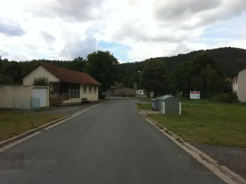
Lindauer Biolandhof
Farm and orchard · 6.4 km
Hofeigene Bio Kartoffeln und Bio Eier; Fleisch, Gemüse, Milchprodukte, etc
12 Lindau, Trebgast
Fr 13:00-18:00, Sa 08:00-12:00; PH off
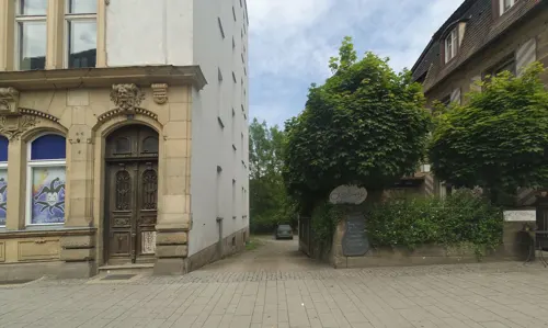
Cineplex
Cinema and theater · 0.7 km
21 Kressenstein, Kulmbach
PH,Mo-Su 13:00-01:00

Hauenreuther Hoflädla
Farm and orchard · 4.1 km
We 12:00-18:00, Sa 09:00-13:00

10 more on the map.
Museums and landmarks83


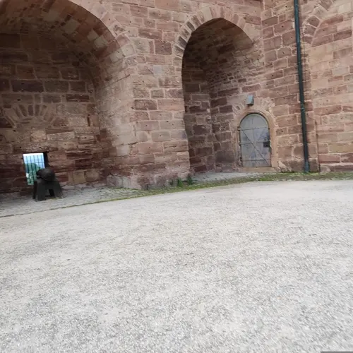



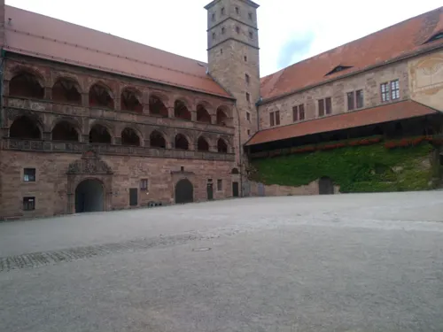


Bayerisches Bäckereimuseum
Museum · 2.1 km
20 Hofer Straße, Kulmbach
Tu-Su 10:00-17:00
71 more on the map.
Parks, trails and playgrounds29
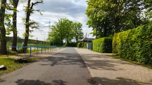
Fritz-Hornschuch-Bad Mainleus
Sports field and stadium · 5.5 km
5 Wilmersreuther Straße, Mainleus
May 15-Sep 15 PH,Mo-Su 07:00-20:00



Freibad Kulmbach
Sports field and stadium · 2.0 km
26 Am Schwimmbad, Kulmbach
PH,Mo-Su 08:00-20:00

Kunsteisbahn
Sports field and stadium · 1.8 km
Mo-Su 10:30-18:30; Fr-Sa 20:00-22:00; PH unknown

17 more on the map.
Restaurants and cafes146

Gasthof Pension Fränkischer Hof
Restaurant · Regional · 5.3 km
32 Hauptstraße, Mainleus
PH,Th-Tu 10:00-24:00


Schweizerhof
Restaurant · Regional · 2.6 km
Restaurant und Hotel
38 Ziegelhüttener Straße, Kulmbach
Th-Tu 09:00-14:00, 17:00-23:00; We off "Ruhetag"


Konoba
Restaurant · Croatian · 0.9 km
Kroatische Spezialitäten
2 Hans-Herold-Straße, Kulmbach
We-Su 17:00+
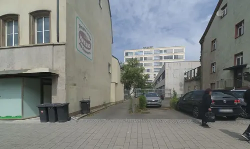
buonissimo
Cafe · Ice Cream · 0.8 km
20 Kressenstein, Kulmbach
Mo,Tu,Th-Sa 09:00-18:00; We 10:00-18:00; Su 12:00-18:00
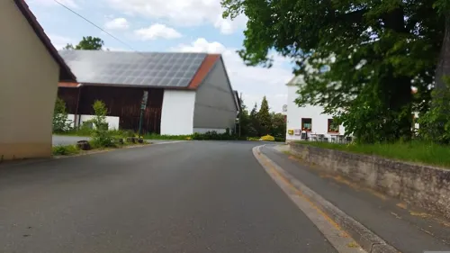
Gasthaus Räther
Restaurant · German · 3.7 km
4 Oberzettlitz, Kulmbach
Mo,Th off; Tu-We 16:00-22:00, Fr 16:00-22:00, Sa 14:00-22:00, Su...
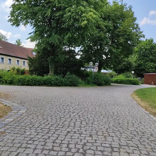
Gaststätte Bauernfeind / Zum Hähnchen Wirt
Restaurant · Regional · 1.7 km
6 Saalfelder Straße, Kulmbach
Mo off; Tu-Sa 17:00-23:00; Su 11:00-21:00


Sakura
Restaurant · Asian · 0.9 km
26 Obere Stadt, Kulmbach
Mo,We,Th 11:00-14:30,17:00-21:00; Tu off; Fr,Sa...
134 more on the map.
History
From about 900 AD there was a small settlement in what is now the district of Spiegel, which consisted of a forest lodge and a fortified tenant farm (Fronhof) to protect the river Main crossing at Grünwehr. The area later passed into the hands of the Count of Schweinfurt, whose power was usually exercised through the office of the walpode.
Kulmbach was first mentioned as Kulma in a deed of gift in the Alcuin Bible between 1028 and 1040. The name comes from a stream that comes descends the mountain (Culmin-aha, Culmna). This stream was later renamed Kohlenbach due to a misunderstanding.
When the male line of the Schweinfurt counts died out, Kulmbach passed to the Dießen line of the Andechs family through the marriage of the Schweinfurts' daughter and heiress, Gisela, to Count Arnold of Dießen.
The counts acquired other lands around Kulmbach, built the first fort, the Plassenburg, in the first third of the twelfth century and founded a market town and a church in today's upper town (Obere Stadt). In 1180 the House of Andechs was elevated to an imperial princedom by the Emperor Barbarossa and given the title of Duke of Merania after the town of Marano between Venice and Trieste (now Marano Lagunare).
From the History section of Kulmbach on Wikipedia, under CC BY-SA 4.0.
Where to stay15
Churches and places of worship31
Spitalkirche Hl. Geist
Church · Lutheran · 1.0 km
15 Spitalgasse, Kulmbach
Shopping46
Gas and EV charging16
Schools, colleges and libraries30
Evangelischer Kindergarten u. Krippe -Kinder Arche
School · 4.4 km
16 Hornschuchstraße, Mainleus
Healthcare15
HNO Operationen Dr. Katrin Gollner und Dr. Ulrich Gollner
Clinic and pharmacy · 0.7 km
21 Schießgraben, Kulmbach
Map of Kulmbach
250 places. The map loads OpenStreetMap tiles when you open it.
Getting there and nearby towns
Verkehrslandeplatz Bayreuth (BYU) is the nearest airport with scheduled flights listed in OpenStreetMap, 19 km away.
- Kronach 18 km northwest, about 18 min by car
- Münchberg 26 km east, about 26 min by car
- Lichtenfels 28 km west, about 28 min by car
- Bad Staffelstein 32 km west, about 32 min by car
- Neustadt bei Coburg 35 km northwest, about 35 min by car
- Schwarzenbach an der Saale 37 km east, about 37 min by car
- Pegnitz 39 km south, about 39 min by car
- Hof 40 km northeast, about 40 min by car
- Wunsiedel 40 km east, about 40 min by car
- Rehau 45 km east, about 45 min by car
Drive times are estimates from straight-line distance, not routes.
Local news
Headlines from INDB.
Reviews, tips and questions
Loading what members have shared...
Sources and licences
- GeoNames (CC BY 4.0): population, coordinates, regions and time zone
- Mapillary (see each image): photos
- OpenStreetMap contributors (ODbL 1.0): places, airports, map data
- Wikidata (CC0 1.0): elevation, founding date, time zone, website
- Wikimedia Commons (see each image): photos
- Wikipedia (CC BY-SA 4.0): overview and history text
Photo credits
- Blick auf Kulmbach und die Plassenburg - Panorama, DYVER, CC BY-SA 4.0
- Blick auf Kulmbach und die Plassenburg, DYVER, CC BY-SA 4.0
- Plassenburg, Kulmbach from Rehturm edit, File:Plassenburg, Kulmbach from Rehturm.jpg : El Grafo derivative work: DYVER, CC BY-SA 4.0
- Kulmbach Mönchshof Brauererei P6170864, Ermell, CC BY-SA 4.0
- Plassenburg oben, Unknown author, CC BY-SA 3.0
- Röhl Villa D-4-77-128-195 (1), Benreis, CC BY 3.0
- Trebgast Kirche, Benreis, CC BY-SA 3.0
- Pfarrkirche St. Maria Peesten (2), Benreis, CC BY 3.0
- Nikolei Kirche, Benreis, CC BY-SA 3.0
- Kulmbacher Badhaus (1), Stefan Karl, CC BY-SA 4.0
- Die ehemalige Verwaltungsvilla der Spinnerei Fritz-Hornschuch, DYVER, CC BY-SA 4.0
- Kulmbach-Karl-Herrle-640, Karl Herrle (1828-after 1886), Public domain
- Kulmbach Friedenskirche, Benreis, CC0
- Johanneskirche Kulmbach-Burghaig (2), Benreis, CC0
- Klinikum Kulmbach, DYVER, CC BY-SA 4.0
- Kulmbach Negeleinstraße 5, Benreis, CC BY 3.0
- Kulmbach, Marktplatz, Luitpoldbrunnen-002, Tilman2007, CC BY-SA 3.0
- Bahnhof Kulmbach IMG 7848, Roehrensee, CC BY-SA 4.0
- Mainleus-Hornschuchhausen-Holzstraße 3 (1), Weissenstein, CC BY-SA 4.0
- Mainleus-Hauptstrasse 32, Weissenstein, CC BY-SA 4.0
- Wüstenbuchau 1, Weissenstein, CC BY-SA 4.0
- Kulmbach Schweizerhof D-4-77-128-274, Benreis, CC0
- Willmersreuth Kirche, Weissenstein, CC BY-SA 4.0
- Petrikircheku, PeterBraun74, CC BY-SA 3.0
- Kulmbach Auferstehungskirche, Benreis, CC BY-SA 3.0
- Kulmbach Spitalkirche, Olaf Meister, CC BY-SA 3.0
- Mainleus St. Antonius, Benreis, CC0
- Untersteinach, St. Oswald, 001, Tilman2007, CC BY-SA 3.0
- Kulmbach Kreuzkirche, Benreis, CC BY-SA 3.0
- Kulmbach Kronacher Straße 1 (1), Benreis, CC0
- Museen im Kulmbacher Mönchshof (1), Stefan Karl, CC BY-SA 4.0
- Kulmbach, Spitalkirchturm-001, Tilman2007, CC BY-SA 3.0
- Kulmbach Petrikirche Luftbild-20230814-RM-162747, Ermell, CC BY-SA 4.0
- Peesten Kirche-20200823-RM-153619, Ermell, CC BY-SA 4.0
- Kulmbach-Kreuzkirche-03, Störfix, CC BY-SA 3.0 de
- Trebgast Kirche-20201011-RM-171257, Ermell, CC BY-SA 4.0
- Untersteinach, St. Oswald, 011, Tilman2007, CC BY-SA 3.0
- Street-level photo, msdess, CC BY-SA 4.0
- Street-level photo, wegavision, CC BY-SA 4.0
- Street-level photo, msdess, CC BY-SA 4.0
- Street-level photo, bernd_niemann, CC BY-SA 4.0
- Street-level photo, wegavision, CC BY-SA 4.0
- Street-level photo, mfa, CC BY-SA 4.0
- Street-level photo, changchun1, CC BY-SA 4.0
- Street-level photo, georginakirrin, CC BY-SA 4.0
- Street-level photo, r66, CC BY-SA 4.0
- Street-level photo, johkra, CC BY-SA 4.0
- Street-level photo, qgeb, CC BY-SA 4.0
- Street-level photo, msdess, CC BY-SA 4.0
- Street-level photo, wegavision, CC BY-SA 4.0
- Street-level photo, wegavision, CC BY-SA 4.0
- Street-level photo, msdess, CC BY-SA 4.0
- Street-level photo, bernd_niemann, CC BY-SA 4.0
- Street-level photo, bernd_niemann, CC BY-SA 4.0
- Street-level photo, su1dakra, CC BY-SA 4.0
- Street-level photo, r66, CC BY-SA 4.0
- Street-level photo, wegavision, CC BY-SA 4.0
- Street-level photo, wegavision, CC BY-SA 4.0
- Street-level photo, wegavision, CC BY-SA 4.0
- Street-level photo, wegavision, CC BY-SA 4.0
- Street-level photo, msdess, CC BY-SA 4.0
- Street-level photo, wegavision, CC BY-SA 4.0
- Street-level photo, rausk, CC BY-SA 4.0
- Street-level photo, bingo67, CC BY-SA 4.0
- Street-level photo, changchun1, CC BY-SA 4.0
- Street-level photo, bingo67, CC BY-SA 4.0
- Street-level photo, wegavision, CC BY-SA 4.0
- Street-level photo, wegavision, CC BY-SA 4.0
- Street-level photo, wegavision, CC BY-SA 4.0
- Street-level photo, wegavision, CC BY-SA 4.0
- Street-level photo, wegavision, CC BY-SA 4.0


Page built November 8, 2026. Spotted a mistake? Tell us or suggest a place.