


Why visit Titz
Townapedia lists 24 museums and landmarks, 5 parks and trails, 21 places to eat and 2 attractions in and around town.
Highlights include Kartoffelpower Karl-Heinz u Ina Albersmeier GbR, LVR-Kulturhaus Landsynagoge Rödingen, Barbara-Kapelle and Rübenbusch.
Weather in Titz
Forecast from MET Norway (CC BY 4.0). Full forecast
About Titz
Titz (German pronunciation: [ˈtɪts]) is a municipality in the district of Düren in the state of North Rhine-Westphalia, Germany. It is located approximately 10 kilometres (6.2 mi) north-east of Jülich and 20 kilometres (12 mi) south of Mönchengladbach.
From the Wikipedia article Titz (this version), under CC BY-SA 4.0.
Things to do2

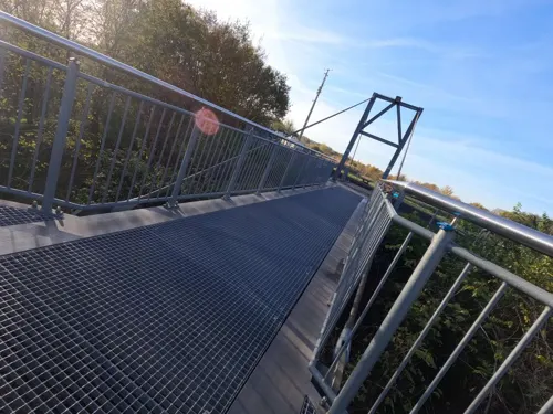
Kartoffelpower Karl-Heinz u Ina Albersmeier GbR
Farm and orchard · 5.1 km
Kartoffeln u Kartoffelprodukte
Museums and landmarks24

LVR-Kulturhaus Landsynagoge Rödingen
Museum · 5.2 km
1 Mühlenend, Titz
Su 11:00-17:00; "Wochentags auf Anfrage"
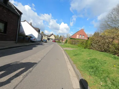
Barbara-Kapelle
Monument and historic site · 5.8 km
Baujahr: um 1900 Backsteinkapelle auf kreuzförmigen Grundriß mit Dachreiter
Kleinbouslar, Erkelenz
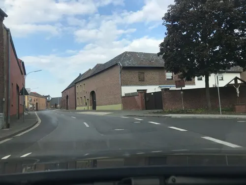
Bürgersaal
Monument and historic site · 5.8 km
Es handelt sich um einen Tanzsaal aus dem Jahre 1928. Es ist der einzige noch erhaltene freistehende Tanzsaal im Stadtgebiet Erkelenz....
67 In Katzem, Erkelenz

ehemalige NIKE Launching Area
Monument and historic site · 5.6 km
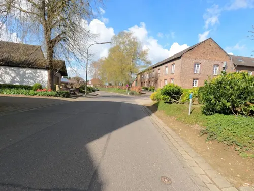
Wegekreuz
Monument and historic site · 6.1 km
Neugotisches Wegekreuz, wurde später wegen Kriegsschäden durch Betonkreuz ersetzt, welches bereits Verwitterungsschäden aufweist. Es ist...
Kleinbouslar, Erkelenz
Bedburg-Königshoven (Mesolithic antler frontlets)
Monument and historic site · 8.6 km
Archaeological site in Bedburg, Germany
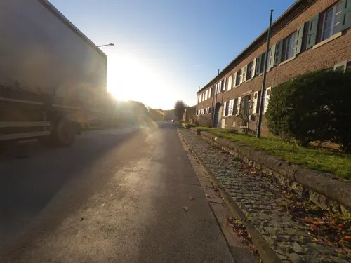
LVR-Amt für Bodendenkmalpflege im Rheinland - Außenstelle Titz
Monument and historic site · 6.3 km
14-16 Ehrenstraße, Titz
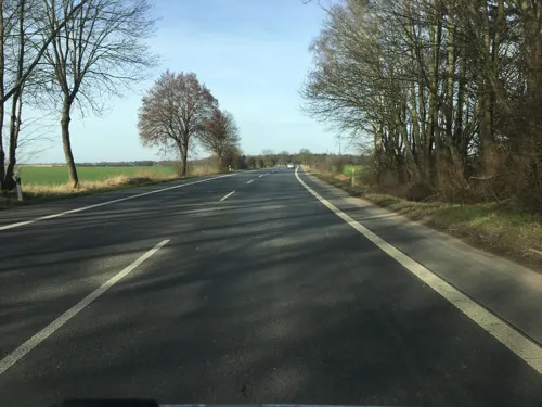
Weyerhof
Monument and historic site · 6.1 km
Vierflügeliger Backsteinhof, Wohnhaus zweigeschossig in fünf Achsen, mit einachsigem übergiebeltem Mittelrisalit, im Giebel...
2 Weyerhof, Erkelenz

12 more on the map.
Parks, trails and playgrounds5


Am Anger
Playground · 6.3 km
Sandkasten mit Spielhäuschen, Rutsche, Holzwippe, Drehkreuz, Schaukel "Öffnungszeiten" 8-12 und 14-20Uhr, der Platz ist aber dauerhaft zugänglich


Restaurants and cafes21

Gut Hohenholz
Restaurant · Regional · 6.8 km
1 Hohenholz, Bedburg
We-Fr 18:00-22:00; Sa 15:00-22:00; Su 08:00-22:00

Büsch
Bakery · 0.8 km
3 Heinrich-Gossen-Straße, Titz
Mo-Sa 07:00-20:00; Su 07:00-11:00; PH 07:00-11:00
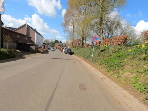
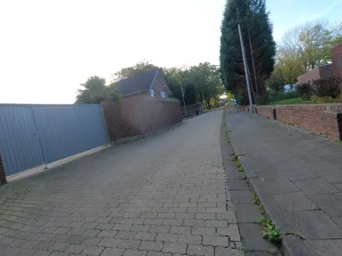

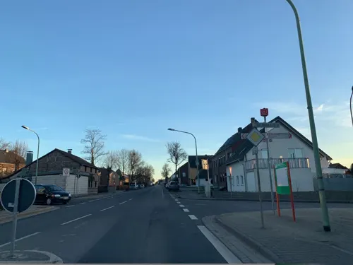


Trattoria Isola
Restaurant
26 Landstraße, Titz
Tu-Th 17:00-22:30; Fr,Sa 17:00-23:00; Su,PH 12:00-15:00,17:00-22:00; Mo off
9 more on the map.
Churches and places of worship37
Kapelle zur heiligen Margaretha
Church · 4.6 km
7 Kapellenweg, Bedburg
Shopping5
Gas and EV charging3
Schools, colleges and libraries3
Healthcare2
Map of Titz
102 places. The map loads OpenStreetMap tiles when you open it.
Getting there and nearby towns
Düsseldorf-Mönchengladbach Airport (MGL) is the nearest airport with scheduled flights listed in OpenStreetMap, 26 km away.
- Jülich 10 km southwest, about 10 min by car
- Bedburg 10 km east, about 10 min by car
- Erkelenz 11 km northwest, about 11 min by car
- Linnich 11 km west, about 11 min by car
- Jüchen 12 km northeast, about 12 min by car
- Elsdorf 13 km southeast, about 13 min by car
- Grevenbroich 15 km northeast, about 15 min by car
- Niederzier 14 km south, about 14 min by car
- Hückelhoven 15 km west, about 15 min by car
- Bergheim 16 km east, about 16 min by car
Drive times are estimates from straight-line distance, not routes.
Local news
Headlines from INDB.
Reviews, tips and questions
Loading what members have shared...
Sources and licences
- GeoNames (CC BY 4.0): population, coordinates, regions and time zone
- Mapillary (see each image): photos
- OpenStreetMap contributors (ODbL 1.0): places, airports, map data
- Wikidata (CC0 1.0): elevation, founding date, time zone, website, landmarks and historic places
- Wikimedia Commons (see each image): photos
- Wikipedia (CC BY-SA 4.0): overview and history text
Photo credits
- Titz-Rödingen Denkmal-Nr. 90, Mühlenend 1 (1745), Käthe und Bernd Limburg, www.limburg-bernd.de, CC BY-SA 3.0 de
- Kirche holzweiler 1, Arne Müseler / www.garzweiler.com, CC BY-SA 3.0 de
- Katzem Kirche Hochformat, Käthe u. Bernd Limburg, www.limburg-bernd.de, CC BY-SA 3.0 de
- Titz, kerk 2009-08-15 13.58, Michielverbeek, CC BY-SA 3.0
- Gut Kaiskorb Wegekreuz von 1759 01, NoRud, CC BY-SA 4.0
- Kirchherten Breite Straße 21, 23 Evangelische Hauskirche II, NoRud, CC BY-SA 4.0
- Titz-Hasselsweiler Denkmal-Nr. 19, Westend 4 (1644), Käthe und Bernd Limburg, www.limburg-bernd.de, CC BY-SA 3.0 de
- Jülich-Mersch Denkmal-Nr. 14, Hahnengasse 1 (761), Käthe und Bernd Limburg, www.limburg-bernd.de, CC BY-SA 3.0 de
- Linnich-Hottorf Denkmal-Nr. 33, Georgstraße 2 (6560), Käthe und Bernd Limburg, www.limburg-bernd.de, CC BY-SA 3.0 de
- Titz-Bettenhoven Denkmal-Nr. 16, Weidenstraße 4 (1640), Käthe und Bernd Limburg, www.limburg-bernd.de, CC BY-SA 3.0 de
- Titz-Müntz Denkmal-Nr. 22, Raiffeisenstraße (1657), Käthe und Bernd Limburg, www.limburg-bernd.de, CC BY-SA 3.0 de
- Titz-Gevelsdorf Denkmal-Nr. 18, Dackweilerstraße 2 (1642), Käthe und Bernd Limburg, www.limburg-bernd.de, CC BY-SA 3.0 de
- Titz-Höllen Denkmal-Nr. 27, Ehrenstraße-Ecke Kaiserstraße (1664), Käthe und Bernd Limburg, www.limburg-bernd.de, CC BY-SA 3.0 de
- Margarethenkapelle Grottenherten, Tohma ( talk ), CC BY-SA 4.0
- Titz-Rödingen Denkmal-Nr. 90, Mühlenend 1 (1746), Käthe und Bernd Limburg, www.limburg-bernd.de, CC BY-SA 3.0 de
- Mapillary (noel) 2019-02-26 04H59M41S183 (1705261526326805 at iw9m9wanfxh38e62lxwmsq with iPhone), noel, CC BY-SA 4.0
- Mapillary (noel) 2019-02-26 04H59M42S179 (3910156639038726 at iw9m9wanfxh38e62lxwmsq with iPhone), noel, CC BY-SA 4.0
- Mapillary (noel) 2019-02-26 04H59M43S188 (498436197869125 at iw9m9wanfxh38e62lxwmsq with iPhone), noel, CC BY-SA 4.0
- Mapillary (noel) 2019-02-26 04H59M44S168 (782572772456032 at iw9m9wanfxh38e62lxwmsq with iPhone), noel, CC BY-SA 4.0
- Mapillary (noel) 2019-02-26 04H59M45S165 (291956612528079 at iw9m9wanfxh38e62lxwmsq with iPhone), noel, CC BY-SA 4.0
- Mapillary (noel) 2019-02-26 04H59M46S176 (262146195596766 at iw9m9wanfxh38e62lxwmsq with iPhone), noel, CC BY-SA 4.0
- Mapillary (noel) 2019-02-26 04H59M47S176 (3940288566069626 at iw9m9wanfxh38e62lxwmsq with iPhone), noel, CC BY-SA 4.0
- Mapillary (noel) 2019-02-26 04H59M48S178 (2709596849331905 at iw9m9wanfxh38e62lxwmsq with iPhone), noel, CC BY-SA 4.0
- Mapillary (noel) 2019-02-26 04H59M49S179 (250708843473037 at iw9m9wanfxh38e62lxwmsq with iPhone), noel, CC BY-SA 4.0
- Mapillary (noel) 2019-02-26 04H59M50S176 (290581896058969 at iw9m9wanfxh38e62lxwmsq with iPhone), noel, CC BY-SA 4.0
- Mapillary (noel) 2019-02-26 04H59M51S185 (309177830738468 at iw9m9wanfxh38e62lxwmsq with iPhone), noel, CC BY-SA 4.0
- Mapillary (noel) 2019-02-26 04H59M52S172 (4135998789810394 at iw9m9wanfxh38e62lxwmsq with iPhone), noel, CC BY-SA 4.0
- Mapillary (noel) 2019-02-26 04H59M53S181 (560434484939589 at iw9m9wanfxh38e62lxwmsq with iPhone), noel, CC BY-SA 4.0
- Mapillary (noel) 2019-02-26 04H59M54S172 (507753640364851 at iw9m9wanfxh38e62lxwmsq with iPhone), noel, CC BY-SA 4.0
- Mapillary (noel) 2019-02-26 04H59M55S178 (543787286613285 at iw9m9wanfxh38e62lxwmsq with iPhone), noel, CC BY-SA 4.0
- Mapillary (noel) 2019-02-26 04H59M56S170 (323020922518188 at iw9m9wanfxh38e62lxwmsq with iPhone), noel, CC BY-SA 4.0
- Mapillary (noel) 2019-02-26 04H59M57S172 (294988155562580 at iw9m9wanfxh38e62lxwmsq with iPhone), noel, CC BY-SA 4.0
- Mapillary (noel) 2019-02-26 04H59M58S187 (196296458874702 at iw9m9wanfxh38e62lxwmsq with iPhone), noel, CC BY-SA 4.0
- Mapillary (noel) 2019-02-26 04H59M59S187 (299808458292834 at iw9m9wanfxh38e62lxwmsq with iPhone), noel, CC BY-SA 4.0
- Mapillary (noel) 2019-02-26 05H00M00S186 (559153221721925 at iw9m9wanfxh38e62lxwmsq with iPhone), noel, CC BY-SA 4.0
- Mapillary (noel) 2019-02-26 05H00M01S173 (495912551538313 at iw9m9wanfxh38e62lxwmsq with iPhone), noel, CC BY-SA 4.0
- Mapillary (noel) 2019-02-26 05H00M02S171 (135638405261341 at iw9m9wanfxh38e62lxwmsq with iPhone), noel, CC BY-SA 4.0
- Mapillary (noel) 2019-02-26 05H00M03S184 (933366717497477 at iw9m9wanfxh38e62lxwmsq with iPhone), noel, CC BY-SA 4.0
- Mapillary (noel) 2019-02-26 05H00M04S176 (197633518862244 at iw9m9wanfxh38e62lxwmsq with iPhone), noel, CC BY-SA 4.0
- Mapillary (noel) 2019-02-26 05H00M05S193 (177217880956079 at iw9m9wanfxh38e62lxwmsq with iPhone), noel, CC BY-SA 4.0
- Street-level photo, bigpapa2908, CC BY-SA 4.0
- Street-level photo, hektor1989, CC BY-SA 4.0
- Street-level photo, hektor1989, CC BY-SA 4.0
- Street-level photo, bigpapa2908, CC BY-SA 4.0
- Street-level photo, noel, CC BY-SA 4.0
- Street-level photo, hektor1989, CC BY-SA 4.0
- Street-level photo, saschahaberkorn, CC BY-SA 4.0
- Street-level photo, mfa, CC BY-SA 4.0
- Street-level photo, hektor1989, CC BY-SA 4.0
- Street-level photo, hektor1989, CC BY-SA 4.0
- Street-level photo, hektor1989, CC BY-SA 4.0
- Street-level photo, hektor1989, CC BY-SA 4.0
- Street-level photo, noel, CC BY-SA 4.0
- Street-level photo, raymond, CC BY-SA 4.0
- Street-level photo, hektor1989, CC BY-SA 4.0
- Street-level photo, noel, CC BY-SA 4.0
- Street-level photo, hektor1989, CC BY-SA 4.0


Page built November 9, 2026. Spotted a mistake? Tell us or suggest a place.