


Wachtendonk, Germany
Wachtendonk is a town of 7,823 people in North Rhine-Westphalia, Germany.
Why visit Wachtendonk
Townapedia lists 77 museums and landmarks, 18 parks and trails, 55 places to eat, 17 places to stay and 14 attractions in and around town.
Highlights include Deutskens Hof, Gartenbau Hoffmann, Herrenhaus Caen and Dorfstube Wankum.
Weather in Wachtendonk
Forecast from MET Norway (CC BY 4.0). Full forecast
About Wachtendonk
Wachtendonk (German pronunciation: [ˈvaxtn̩dɔŋk]) at the confluence of Niers River and Nette River is a municipality in the district of Kleve in North Rhine-Westphalia, Germany. It is located west of the Rhine halfway between Duisburg and Venlo at the Dutch border. Its name means 'bailiff's Donk'.
From the Wikipedia article Wachtendonk (this version), under CC BY-SA 4.0.
Things to do14

Deutskens Hof
Farm and orchard · 2.7 km
Aktuelles Sortiment von ausgesuchten Saison-Produkten aus nächster Nähe stehen in unserem „Bauernhäuschen“ bereit. Direkt-Kauf mit...
4 Kookerweg, Wachtendonk
24/7
Gartenbau Hoffmann
Farm and orchard · 3.3 km
2 Ribbrockerweg, Wachtendonk
von April bis Anfang Oktober: Mo., Di., Do., Fr.: 8.00 Uhr bis...
Hofladen Schrievers
Farm and orchard · 3.5 km
2 Harzbecker Straße, Wachtendonk
Mo,Tu,Th,Fr 08:00-12:30; 15:00-18:30; Sa 09:00-13:00
Klosterhof Spargel
Farm and orchard · 5.7 km
1 Zand, Straelen
Mo-Fr 08:30-18:00; Sa 08:00-16:00; Su,PH 09:00-13:00
Kürbishof Draack
Farm and orchard · 5.3 km
8 Grefrather Landstraße, Wachtendonk
von September bis Anfang November ganztägig
Naturkost Schniedershof
Farm and orchard · 0.7 km
9 Heiligenhäuschenweg, Wachtendonk
Mo - Do von 9:00 - 15:00 Uhr und Fr. bis 18:00 Uhr In den...
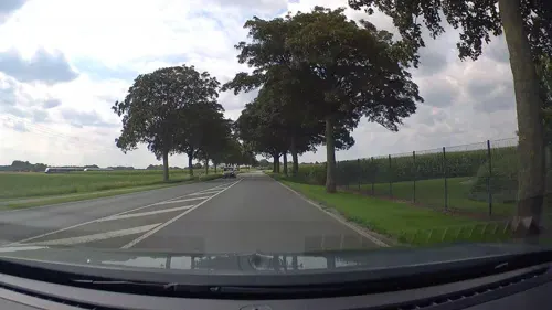
Petkens Gemüse & Obst
Farm and orchard · 5.8 km
7 An den Linden, Kerken
Mo-Fr 08:00-18:30; Sa 08:00-16:00
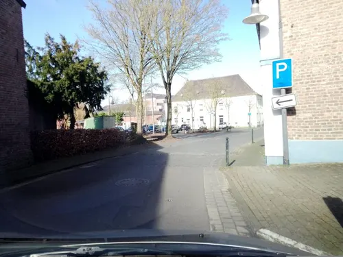
Spargelhof Spitz
Farm and orchard · 2.5 km
38 Landfriedensstraße, Wachtendonk
Während der Spargel-Saison: Mo. bis Do.: 09.00 bis 18.00 Uhr Fr....
Gartenbau Berghs-Trienkens
Farm and orchard · 4.3 km
56 Boekholter Weg, Straelen
Spargelhof Berghs
Farm and orchard · 5.8 km
4 Drei Höfe, Straelen

2 more on the map.
Museums and landmarks77



Herrenhaus Eyll
Monument and historic site · 5.7 km
Zweigeschossiges Herrenhaus mit Walmdach; erwähnt C15


Haefs-Kreuz
Monument and historic site · Roman Catholic · 4.7 km
Unter Ahorn imposantes Kreuz, Korpus weiß gestrichenen mit dunkelbraunen Dornenkrone, ausdrucksstarkes Gesicht nach rechts geneigt. Der...

Maislabyrinth / Bootsverleih Holleshof
Monument and historic site · 1.0 km
2 Schlecker Deich, Wachtendonk

Nettemündung
Monument and historic site · 1.2 km
Hier mündet die Nette in die Niers
Perley-Kreuz
Monument and historic site · Roman Catholic · 6.0 km
65×40 cm, Basaltlava, Das älteste Kempener WegkreuzDas Kreuz erinnert an einen Gort Segel, der im Jahre 1629 am Michaelstage (29....

Willmen-Kreuz
Monument and historic site · Roman Catholic · 5.6 km
Unter einer Esche Holzkreuz auf Steinfundament. Pfeildach (schwarzer Kunststoff) schützt braunen Korpus. Mit ausgebreiteten Armen und...
'Nordkanal' am Schwiershof
Monument and historic site · 5.9 km
Geplanter schiffbarer Wasserweg zwischen Rhein und Maas
Bongenhof
Monument and historic site · 4.7 km
Dreiachsiges Hallenhaus, in dessen Stallteil zwei Quereinfahrten führen und eine parallel dazu angelegte Quertennenscheune; im 16 Jhd im...
65 more on the map.
Parks, trails and playgrounds18







6 more on the map.
Restaurants and cafes55
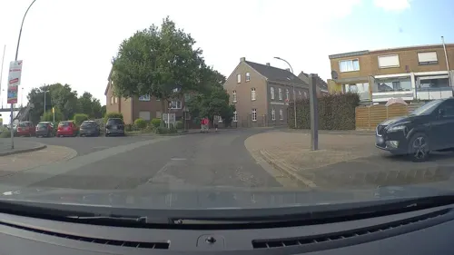
Bahnhof-Aldekerk
Restaurant · International, Asian, German · 5.9 km
48 Bahnhofstraße, Kerken
Th-Sa 17:00-23:00; Su 10:00-20:00

Fitscheshof Café & Restaurant UG
Restaurant · German, Regional, Burger, Cafe, Waffle · 2.4 km
3 Lounweg, Wachtendonk
Tu-Th 12:00-20:00; Fr,Sa 12:00-22:00; Su 09:30-22:00; Mo off
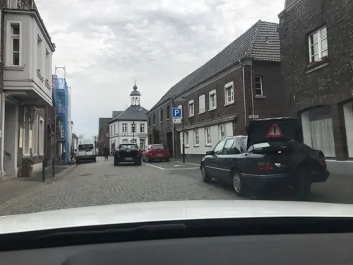
Pizzeria La Vesuvio
Restaurant · Italian, Pizza, Pasta, Salad
18 Feldstraße, Wachtendonk
Mo off; Tu-Fr 15:00-22:00; Sa-Su 13:00-22:00
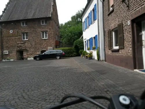
Ristorante Pulverturm da Francesco
Restaurant · Italian
12 Am Pulverturm, Wachtendonk
Mo,We-Sa 17:00-22:00; Su,PH 12:00-15:00, 17:00-21:00; Tu off
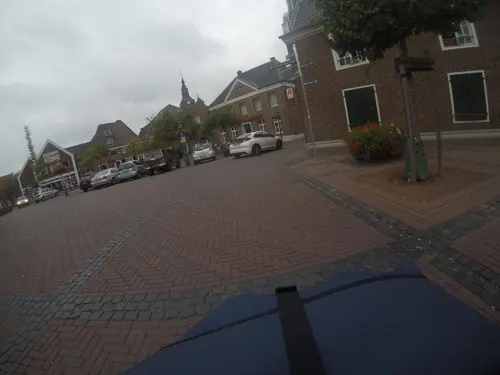
Zwiebelturm
Restaurant · International · 5.8 km
4 Webermarkt, Kerken
Tu-Su 17:00-23:00; Th off;PH 12:00+

Bäckerei & Mühlencafé Hoenen
Cafe · 2.0 km
1 Gebrüder-Funcken-Straße, Wachtendonk
Mo-Fr 06:00-19:00; Sa 06:00-17:00; Su 07:30-16:00
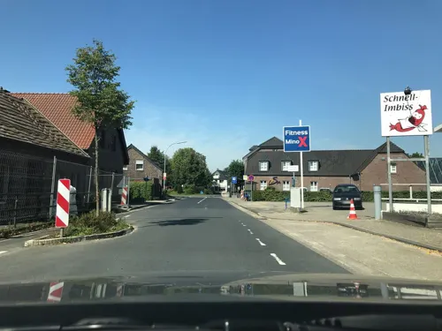
Café Kälberstall
Cafe · 2.1 km
2 Kusenweg, Wachtendonk
Th 15:00-19:00; Sep-May: Fr 15:00-19:00, Sa 09:00-19:00; Jun-Aug:...
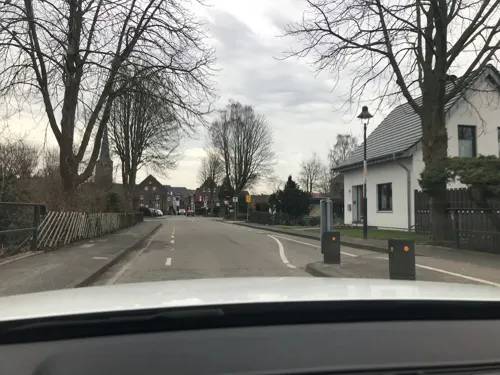



Landbäckerei Stinges
Cafe · 5.8 km
5 Krefelder Straße, Kerken
Mo-Fr 06:00-18:00; Sa 06:00-13:00; Su,PH 07:30-11:00
43 more on the map.
Where to stay17
Churches and places of worship21
Shopping12
Gas and EV charging10
Schools, colleges and libraries7
Michael-Schule, katholische Grundschule
School · Catholic
1 Moorenstraße, Wachtendonk
St. Martin-Schule, katholische Grundschule Wachtendonk
School · Catholic · 2.5 km
2 Schulhof, Wachtendonk
Healthcare5
Dr. med. Dieter Gerbecks und Heike Reumann Praxisgemeinschaft
Clinic and pharmacy · 5.9 km
1 Friedensstraße, Kerken
Dermatologen Dr. Antea Rehfus und Dr. David Strohmeier
Clinic and pharmacy · 5.8 km
1a Krefelder Straße, Kerken
Map of Wachtendonk
236 places. The map loads OpenStreetMap tiles when you open it.
Getting there and nearby towns
Düsseldorf-Mönchengladbach Airport (MGL) is the nearest airport with scheduled flights listed in OpenStreetMap, 23 km away.
- Straelen 6 km northwest, about 6 min by car
- Kempen 7 km southeast, about 7 min by car
- Grefrath 8 km south, about 8 min by car
- Nettetal 11 km south, about 11 min by car
- Geldern 12 km north, about 12 min by car
- Tönisvorst 15 km southeast, about 15 min by car
- Kaldenkirchen 14 km southwest, about 14 min by car
- Neukirchen-Vluyn 15 km east, about 15 min by car
- Krefeld 17 km southeast, about 17 min by car
- Viersen 18 km south, about 18 min by car
Drive times are estimates from straight-line distance, not routes.
Local news
Headlines from INDB.
Reviews, tips and questions
Loading what members have shared...
Sources and licences
- GeoNames (CC BY 4.0): population, coordinates, regions and time zone
- Mapillary (see each image): photos
- OpenStreetMap contributors (ODbL 1.0): places, airports, map data
- Wikidata (CC0 1.0): elevation, founding date, time zone, website
- Wikimedia Commons (see each image): photos
- Wikipedia (CC BY-SA 4.0): overview and history text
Photo credits
- Wankum, Sankt Martin Kirche in straatzicht foto1 2012-08-20 17.28, Michielverbeek, CC BY-SA 3.0
- Wachtendonk Bücherschrank Friedensplatz, Graph Pixel, CC0
- Wachtendonk-Feldstr4-1-Asio, Asio otus, CC BY-SA 3.0
- Wachtendonk, das Rathaus Dm2 foto3 2016-05-05 10.08, Michielverbeek, CC BY-SA 4.0
- Rathaus-Wachtendonk-2012, Tuxyso, CC BY-SA 3.0
- Wachtendonk am Niederrhein. Rathaus und Brunnen - geo.hlipp.de - 19715, Udo und Joan Fugel on geo.hlipp.de, CC BY-SA 2.0
- Haus-Puellen-Wachtendonk-2012, Tuxyso, CC BY-SA 3.0
- Wachtendonk Neustraße17 Baudenkmal, Graph Pixel, CC0
- Wachtendonk, Denkmal Bruchstrasse 1, Gmbo 2013, CC0
- Wachtendonk, Denkmal Bruchstrasse 9, Gmbo 2013, CC0
- Wachtendonk, Denkmal Bruchstrasse 7, Gmbo 2013, CC0
- Wachtendonk, Denkmal Bruchstrasse 13, Gmbo 2013, CC0
- Wachtendonk, Denkmal Bruchstrasse 11, Gmbo 2013, CC0
- Der Pulverturm in Wachtendonk - geo.hlipp.de - 19723, Udo und Joan Fugel on geo.hlipp.de, CC BY-SA 2.0
- Am Pulverturm 12, Wachtendonk - geo.hlipp.de - 19723, Udo und Joan Fugel, CC BY-SA 2.0
- Frosch als Statur zur Erinnerung an die Flurbereinigung in Wachtendonk, Krefeldphoto, CC BY-SA 4.0
- Wasser.Blick 02 - Ruine Wachtendonk 02, Clisch, CC BY-SA 4.0
- Wasser.Blick 02 - Ruine Wachtendonk 01, Clisch, CC BY-SA 4.0
- Ortseinfahrt Wachtendonk, Kempener Str - geo.hlipp.de - 19722, Udo und Joan Fugel on geo.hlipp.de, CC BY-SA 2.0
- Wachtendonk, Rüttendorfer Weg 7, Honnenkapelle, Graph Pixel, CC0
- 2019-11-23 Hike Wachtendonk and its surroundings. Reader-10, Velopilger, CC BY-SA 4.0
- Nette, NSG Krickenbecker Seen IMGP0301, gheeke, CC BY-SA 2.0
- Neersdommer Mühle 3, Käthe u. Bernd Limburg, www.limburg-bernd.de, CC BY-SA 3.0 de
- 2019 02 13 NSG Grasheide und Mühlhausener Benden (VIE-007) 7, Rudolfo42, CC BY-SA 4.0
- 2019 03 17 NSG Schlootkuhlen (VIE-025) 2, Rudolfo42, CC BY-SA 4.0
- Schmalbroich, Kriegergedächtniskapelle, O.Falkner, CC BY-SA 3.0
- Dietrich-Bonhoeffer-Kirche Straelen, Knusperweizen, CC BY-SA 3.0
- Staelen - Haus Caen 02 ies, Frank Vincentz, CC BY-SA 3.0
- Straelen 2016 0052, Klaus Graf, CC BY-SA 3.0
- Kempen Maasheide Haefs-Kreuz, Kurwal, CC BY-SA 4.0
- Kempen Ziegelheider Straße Wegkreuz 01, Kurwal, CC BY-SA 4.0
- 2019 05 22 NSG Altbuchen an Harbes Hof (VIE-026) (2), Rudolfo42, CC BY-SA 4.0
- 2019 03 17 NSG Der breite Eschel (VIE-027) 1, Rudolfo42, CC BY-SA 4.0
- Niers Viersen 2017 017, Klaus Graf, CC BY-SA 3.0
- 5723234.Erwin Quedenfeldt, Erwin Quedenfeldt, Public domain
- Viersen Boisheim - An der Weuthenmühle - Nette 01 ies, Frank Vincentz, CC BY-SA 3.0
- 2019 03 17 NSG Schlootkuhlen (VIE-025) 3, Rudolfo42, CC BY-SA 4.0
- 2019 03 17 NSG Der breite Eschel (VIE-027) 5, Rudolfo42, CC BY-SA 4.0
- Der Pulverturm - Informationstafel, Clisch, CC BY-SA 4.0
- Muendung Nette in Niers 2021-05-01 CS1, Christoph Sager, CC BY-SA 4.0
- Wasser.Blick 01 - Nette trifft Niers 02, Clisch, CC BY-SA 4.0
- Street-level photo, saschahaberkorn, CC BY-SA 4.0
- Street-level photo, rausk, CC BY-SA 4.0
- Street-level photo, joopjrvdl, CC BY-SA 4.0
- Street-level photo, saschahaberkorn, CC BY-SA 4.0
- Street-level photo, mfa, CC BY-SA 4.0
- Street-level photo, poxonline, CC BY-SA 4.0
- Street-level photo, saschahaberkorn, CC BY-SA 4.0
- Street-level photo, joopjrvdl, CC BY-SA 4.0
- Street-level photo, saschahaberkorn, CC BY-SA 4.0
- Street-level photo, saschahaberkorn, CC BY-SA 4.0
- Street-level photo, joopjrvdl, CC BY-SA 4.0
- Street-level photo, saschahaberkorn, CC BY-SA 4.0
- Street-level photo, saschahaberkorn, CC BY-SA 4.0
- Street-level photo, poxonline, CC BY-SA 4.0
- Street-level photo, saschahaberkorn, CC BY-SA 4.0
- Street-level photo, saschahaberkorn, CC BY-SA 4.0
- Street-level photo, poxonline, CC BY-SA 4.0


Page built November 9, 2026. Spotted a mistake? Tell us or suggest a place.