


Why visit Weener
Townapedia lists 147 museums and landmarks, 11 parks and trails, 52 places to eat, 13 places to stay and 2 attractions in and around town.
Highlights include Albert Schmid, Weener railway bridge, Steinhaus Bunderhee and Bentumersiel.
Weather in Weener
Forecast from MET Norway (CC BY 4.0). Full forecast
About Weener
Weener (German pronunciation: [ˈveːnɐ] ) is a town in the district of Leer, in Lower Saxony, Germany. It is situated near the border with the Netherlands, on the river Ems. The town's population is at 15,654, making it the largest town of the region Rheiderland. It has a railway and autobahn connection to Groningen, Netherlands, Emden and Bremen.
From the Wikipedia article Weener (this version), under CC BY-SA 4.0.
Things to do2


Museums and landmarks147

Steinhaus Bunderhee
Monument and historic site · 5.8 km
64 Steinhausstraße, Bunde

Bentumersiel
Monument and historic site · 9.4 km
Archaeological site in Lower Saxony, Germany




Pfarrhaus
Monument and historic site · 3.9 km
Zweigeschossiger Backsteinbau mit steilem Giebel. Nordgiebel datiert 1429 in großen Reliefbuchstaben aus Formziegeln. Kreuzstockfenster...
1 Große Stiege, Weener


135 more on the map.
Parks, trails and playgrounds11




Restaurants and cafes52

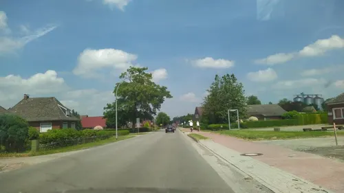
Ganseforth
Bakery · 3.7 km
25 Boenster Straße, Weener
Mo 06:00-13:00; Tu-Th 06:00-18:00; Fr 06:00-16:00; Sa 06:00-12:00;...
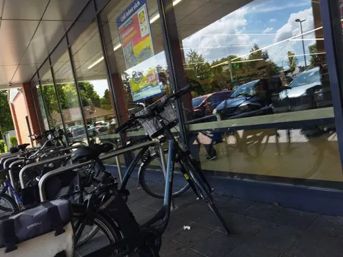
Ganseforth
Bakery · 6.1 km
22 Neuschanzer Straße, Bunde
Mo-Fr 07:00-18:00; Sa 07:00-16:00; Su 08:00-11:00
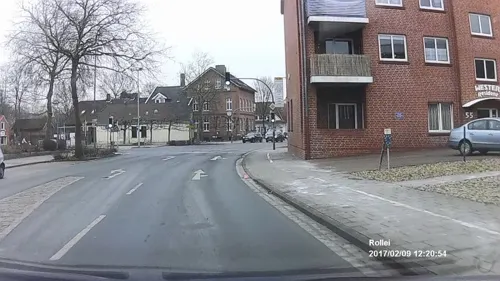
Aloms
Restaurant · Pizza
1 Bahnhofstraße, Weener
Mo 17:00-22:00; Tu-Th 11:00-22:00; Fr 11:00-22:30; Sa 12:00-22:30;...
Bäckerei Lübbers
Bakery · 1.0 km
65 Graf-Edzard-Straße, Weener
Mo 06:00-12:00; Tu-Fr 06:00-18:00; Sa 06:00-12:00; Su 08:00-11:00


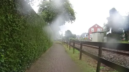
Golosino
Restaurant · Pizza, Italian · 6.1 km
26 Neuschanzer Straße, Bunde
Mo-Sa 17:30-21:00; PH off


40 more on the map.
Where to stay13
Wohnmobilstellplatz am Sportboothafen Weener
Campground · 1.0 km
Am Marina-Park, Weener
Churches and places of worship24
Evangelisch-reformierte Kirche Mitling-Mark
Church · Reformed · 4.2 km
12 Mitlinger Kirchweg, Westoverledingen
Shopping19
Gas and EV charging6
Schools, colleges and libraries13
Healthcare8
Map of Weener
250 places. The map loads OpenStreetMap tiles when you open it.
Getting there and nearby towns
Flugplatz Emden (EME) is the nearest airport with scheduled flights listed in OpenStreetMap, 26 km away.
- Ostrhauderfehn 18 km east, about 18 min by car
- Apen 31 km east, about 31 min by car
- Wiesmoor 38 km northeast, about 38 min by car
- Westerstede 40 km east, about 40 min by car
- Friedeburg 45 km northeast, about 45 min by car
- Zetel 50 km northeast, about 50 min by car
- Wiefelstede 52 km east, about 52 min by car
- Wittmund 54 km northeast, about 54 min by car
- Oldenburg 58 km east, about 58 min by car
- Wilhelmshaven 66 km northeast, about 1 h by car
Drive times are estimates from straight-line distance, not routes.
Local news
Headlines from INDB.
Reviews, tips and questions
Loading what members have shared...
Sources and licences
- GeoNames (CC BY 4.0): population, coordinates, regions and time zone
- Mapillary (see each image): photos
- OpenStreetMap contributors (ODbL 1.0): places, airports, map data
- Wikidata (CC0 1.0): elevation, founding date, time zone, website, landmarks and historic places
- Wikimedia Commons (see each image): photos
- Wikipedia (CC BY-SA 4.0): overview and history text
Photo credits
- Weener - Am Hafen + Alter Hafen 20 ies, Frank Vincentz, CC BY-SA 3.0
- Stolperstein Weener Westerstraße 34 Albert Arons, Gmbo 2013, CC0
- Stolpersteinlage Weener Bahnhofstraße 2, Gmbo 2013, CC0
- Stolperstein Weener Risiusstraße 2 Else Lotte de Vries 1, Gmbo 2013, CC0
- Stolpersteine Weener Risiusstraße 2, Gmbo 2013, CC0
- Stolperstein Weener Risiusstraße 2 Samuel de Vries 1, Gmbo 2013, CC0
- Stolpersteinlage Weener Risiusstraße 2, Gmbo 2013, CC0
- Stolperstein Weener Bahnhofstraße 2 Riekchen Oppenheimer, Gmbo 2013, CC0
- Stolperstein Weener Bahnhofstraße 2 Salomon Hammerschlag, Gmbo 2013, CC0
- Gedenktafel Synagoge Weener Weserstraße 38, Gmbo 2013, CC0
- Stolperstein Weener Bahnhofstraße 2 Julchen Julie Arons, Gmbo 2013, CC0
- Stolpersteine Weener Bahnhofstraße 2, Gmbo 2013, CC0
- Stolpersteinlage Weener Westerstraße 34, Gmbo 2013, CC0
- Stolperstein Weener Westerstraße 34 Albert Arons ungep, Gmbo 2013, CC0
- Stolpersteine Weener Westerstraße 34, Gmbo 2013, CC0
- Stolperstein Weener Westerstraße 34 Jakob Arons ungep, Gmbo 2013, CC0
- Stolperstein Weener Westerstraße 34 Jakob Arons, Gmbo 2013, CC0
- Stolperstein Weener Westerstraße 34 Bertha Arons, Gmbo 2013, CC0
- Stolpersteine Weener Westerstraße 45, Gmbo 2013, CC0
- Stolpersteinlage Weener Westerstraße 45, Gmbo 2013, CC0
- Stolperstein Weener Westerstraße 45 Raahel Gerson, Gmbo 2013, CC0
- Menora zur Erinnerung an die zerstörte Synagoge Weener, Gmbo 2013, CC0
- Stolpersteinlage Weener Bahnhofstraße 6, Gmbo 2013, CC0
- Schlußstein des Treppenaufganges der Synagoge Weener Weserstraße 32, Gmbo 2013, CC0
- Stolperstein Weener Bahnhofstraße 6 Lea Arons, Gmbo 2013, CC0
- Stolperstein Weener Bahnhofstraße 6 Moritz Abraham Arons, Gmbo 2013, CC0
- Stolpersteine Weener Bahnhofstraße 6, Gmbo 2013, CC0
- Stolpersteine Weener Westerstraße 32, Gmbo 2013, CC0
- Stolperstein Weener Westerstraße 32 Sally Boley, Gmbo 2013, CC0
- Stolperstein Weener Westerstraße 32 Jenny Boley, Gmbo 2013, CC0
- Stolperstein Weener Westerstraße 32 Jakob Boley, Gmbo 2013, CC0
- Stolpersteinlage Weener Westerstraße 32, Gmbo 2013, CC0
- Stolpersteinlage Weener Westerstraße 41a, Gmbo 2013, CC0
- Stolperstein Weener Westerstraße 41a Daniel de Vries, Gmbo 2013, CC0
- Stolperstein Weener Westerstraße 41a Moritz de Vries, Gmbo 2013, CC0
- Stolperstein Weener Westerstraße 41a Sophie de Vries, Gmbo 2013, CC0
- Stolperstein Weener Westerstraße 41a Jürgen Adolf de Vries, Gmbo 2013, CC0
- 2013-05-03 Fotoflug Leer Papenburg DSCF7028, Martina Nolte, CC BY-SA 3.0 de
- ChurchWeenerCathJoseph, Frisia Orientalis, CC BY-SA 3.0
- ChurchVöllen, Frisia Orientalis, CC BY-SA 3.0
- Westoverledingen - Warftweg - Kirche + Friedhof 06 ies, Frank Vincentz, CC BY-SA 3.0
- ChurchWeenerRefGeorg, Frisia Orientalis, CC BY-SA 3.0
- Plytenberg, Benutzer:Columbus, CC BY-SA 3.0
- ChurchIhrhoveRef, Frisia Orientalis, CC BY-SA 3.0
- Bunde Kirche Nordseite, Wikiwal, CC BY-SA 3.0
- ChurchBundeOldRef, Frisia Orientalis, CC BY-SA 3.0
- Weener - Bahnhofstraße + Riverside Church 01 ies, Frank Vincentz, CC BY-SA 3.0
- Weener - Neue Straße - Baptistische Kirche 02 ies, Frank Vincentz, CC BY-SA 3.0
- Bunderhee Steinhaus Südseite, Wikiwal, CC BY 3.0
- Stapelmoor Pastorat, Wikiwal, Public domain
- Stolperstein Weener Westerstraße 41a Abraham de Vries, Gmbo 2013, CC0
- Stolperstein Weener Norderstraße 50 Abraham Gerson, Gmbo 2013, CC0
- Stolperstein Weener Kreuzstraße 4 Albert de Jonge, Gmbo 2013, CC0
- Stolperstein Weener Neue Straße 2 Albert Jacobs, Gmbo 2013, CC0
- Stolperstein Weener Mühlenstraße 31 Alfred de Jonge, Gmbo 2013, CC0
- Germania romana, ReMaps, CC BY-SA 4.0
- Ehemalige Juedische Schule Leer-msu-1231, Matthias Süßen, CC BY-SA 4.0
- Street-level photo, sennewald63, CC BY-SA 4.0
- Street-level photo, ezinge, CC BY-SA 4.0
- Street-level photo, sennewald63, CC BY-SA 4.0
- Street-level photo, sennewald63, CC BY-SA 4.0
- Street-level photo, ezinge, CC BY-SA 4.0
- Street-level photo, robinvdlinde, CC BY-SA 4.0
- Street-level photo, changchun1, CC BY-SA 4.0
- Street-level photo, ezinge, CC BY-SA 4.0
- Street-level photo, klaas130, CC BY-SA 4.0
- Street-level photo, changchun1, CC BY-SA 4.0
- Street-level photo, ramap, CC BY-SA 4.0
- Street-level photo, ramap, CC BY-SA 4.0
- Street-level photo, changchun1, CC BY-SA 4.0
- Street-level photo, klaas130, CC BY-SA 4.0
- Street-level photo, heetENkoel, CC BY-SA 4.0
- Street-level photo, cAble_Guy, CC BY-SA 4.0
- Street-level photo, sennewald63, CC BY-SA 4.0
- Street-level photo, mfa, CC BY-SA 4.0
- Street-level photo, mfa, CC BY-SA 4.0
- Street-level photo, changchun1, CC BY-SA 4.0


Page built November 8, 2026. Spotted a mistake? Tell us or suggest a place.