


Why visit Pommersfelden
Townapedia lists 7 museums and landmarks, 7 parks and trails, 15 places to eat, 4 places to stay and 2 attractions in and around town.
Highlights include Eierlädla, Pröls, Schloss Weißenstein and Weiherkette nördlich Bösenbechhofen.
Weather in Pommersfelden
Forecast from MET Norway (CC BY 4.0). Full forecast
About Pommersfelden
Pommersfelden is a municipality in the Upper Franconian district of Bamberg in Germany.
From the Wikipedia article Pommersfelden (this version), under CC BY-SA 4.0.
Things to do2
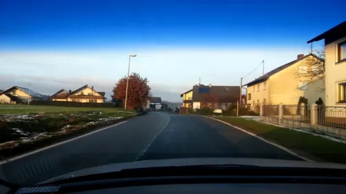
Eierlädla
Farm and orchard · 4.2 km
Eier (Freilandhaltung), Kartoffeln und Brennholz vom Hof Nudeln, Honig und andere regionale Produkte von Anbietern in der Nähe
1 Bösenbechhofen, Höchstadt a.d.Aisch
24/7

Museums and landmarks7

Schloss Weißenstein
Monument and historic site
Castle in Pommersfelden, Bavaria; cultural heritage monument D-4-71-172-31 (0)

Jesus strecke Deine Arme, Segnend über diese Flur
Monument and historic site · 3.2 km
Vom Hagel nicht wird heimgesuch Von Gott gesegnet jedermann Sie in die Scheune bringen kann. Was nützt dir Mensch die Ungeduld Denk...
Parks, trails and playgrounds7



Restaurants and cafes15
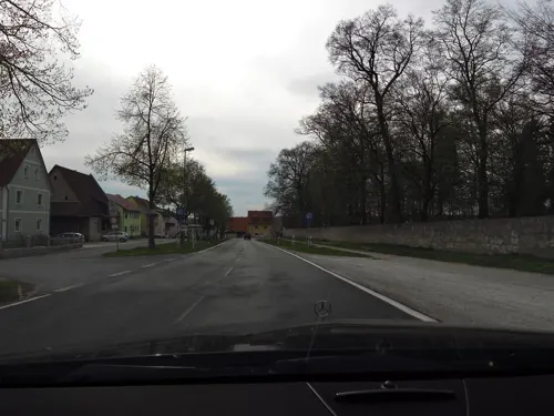
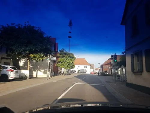
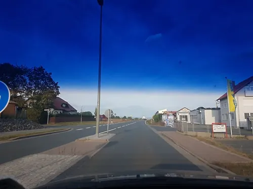
Ristorante - Pizzeria bei Gino
Restaurant · Pizza · 0.9 km
1 Industriestraße, Pommersfelden
Mo-Su 17:00-22:00; We, Th off
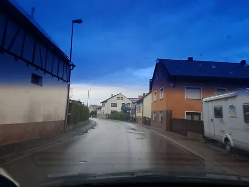
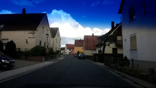
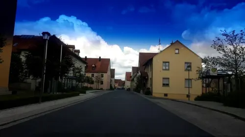

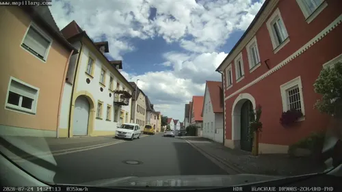
Gasthof "Grüner Baum"
Restaurant · German
18 Hauptstraße, Pommersfelden
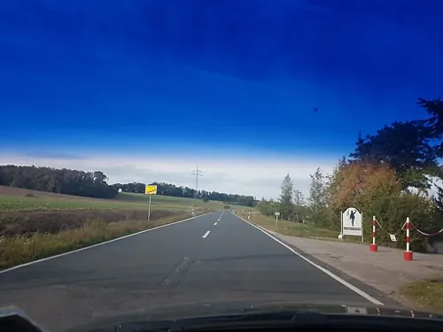



3 more on the map.
History
As of the 14th century, Pommersfelden was owned by the Truchseß von Nainsdorf und Pommersfelden family. After the family had died out in 1710, ownership passed to Lothar Franz von Schönborn, Elector of Mainz and Prince-Bishop of Bamberg. With the Act of the Confederation of the Rhine in 1806, the Counts of Schönborn saw their overlordship pass to Bavaria. In the course of administrative reform in Bavaria, today’s community came into being under the Gemeindeedikt (“Community Edict”) of 1818. Until 1972, Pommersfelden belonged to the district of Höchstadt an der Aisch.
From the History section of Pommersfelden on Wikipedia, under CC BY-SA 4.0.
Where to stay4
Churches and places of worship11
St. Markus
Church · Roman Catholic · 4.5 km
1 Küstersgreuth, Burgebrach
St. Antonius Abbas
Church · Roman Catholic · 2.4 km
35, Pommersfelden
St. Laurentius
Church · Roman Catholic · 4.5 km
20, Höchstadt an der Aisch
Shopping3
Gas and EV charging1
Schools, colleges and libraries1
Healthcare1
Map of Pommersfelden
52 places. The map loads OpenStreetMap tiles when you open it.
Getting there and nearby towns
Verkehrslandeplatz Burg Feuerstein (URD) is the nearest airport with scheduled flights listed in OpenStreetMap, 23 km away.
- Höchstadt an der Aisch 7 km south, about 7 min by car
- Walsdorf 11 km north, about 11 min by car
- Hirschaid 14 km northeast, about 14 min by car
- Bamberg 16 km north, about 16 min by car
- Forchheim 18 km east, about 18 min by car
- Priesendorf 17 km northwest, about 17 min by car
- Herzogenaurach 23 km south, about 23 min by car
- Erlangen 24 km southeast, about 24 min by car
- Neustadt an der Aisch 26 km southwest, about 26 min by car
- Fürth 35 km south, about 35 min by car
Drive times are estimates from straight-line distance, not routes.
Local news
Headlines from INDB.
Reviews, tips and questions
Loading what members have shared...
Sources and licences
- GeoNames (CC BY 4.0): population, coordinates, regions and time zone
- Mapillary (see each image): photos
- OpenStreetMap contributors (ODbL 1.0): places, airports, map data
- Wikidata (CC0 1.0): elevation, founding date, time zone, website
- Wikimedia Commons (see each image): photos
- Wikipedia (CC BY-SA 4.0): overview and history text
Photo credits
- Pommersfelden 003, Wolkenkratzer, CC BY-SA 4.0
- Pommersfelden-Mühle-6045708, ermell, CC BY-SA 4.0
- Pommersfelden-Kirche-6045711, ermell, CC BY-SA 4.0
- Pommersfelden-Kirche-6045713, ermell, CC BY-SA 4.0
- Pommersfelden-town-hall-6045723, ermell, CC BY-SA 4.0
- Pommersfelden-6045726, ermell, CC BY-SA 4.0
- Pommersfelden-town-hall-entrance-6045724, ermell, CC BY-SA 4.0
- Pommersfelden-Rathaus-6045715, ermell, CC BY-SA 4.0
- Pommersfelden Kirche Epitaph 6045781, Ermell, CC BY-SA 4.0
- Pommersfelden Kirche Decke 6045751, Ermell, CC BY-SA 4.0
- Pommersfelden Kirche Epitaph 6045780, Ermell, CC BY-SA 4.0
- Pommersfelden Kirche Altar 6045763, Ermell, CC BY-SA 4.0
- Pommersfelden-Gruft-6045787, ermell, CC BY-SA 4.0
- Pommersfelden Kirche Epitaph 6045783, Ermell, CC BY-SA 4.0
- Pommersfelden-Orgel-6045800, ermell, CC BY-SA 4.0
- Pommersfelden-Kirche-Orgel-6045768-HDR, ermell, CC BY-SA 4.0
- Pommersfelden Kirche Epitaph 6045782, Ermell, CC BY-SA 4.0
- Pommersfelden Kirche Epitaph 6045784, Ermell, CC BY-SA 4.0
- Pommersfelden Kirche Epitaph 6045785, Ermell, CC BY-SA 4.0
- Pommersfelden-Kirche-6045737-HDR, ermell, CC BY-SA 4.0
- Pommersfelden-Pfarrhaus-6045702, ermell, CC BY-SA 4.0
- Pommersfelden-Schlosstor-6045721, ermell, CC BY-SA 4.0
- Pommersfelden Osterbrunnen 2018 P4021319, Ermell, CC BY-SA 4.0
- Pommersfelden 2011-07-27 17-07-08, Berthold Werner, CC BY-SA 3.0
- Pommersfelden BW 2011-07-27 17-04-34, Berthold Werner, CC BY-SA 3.0
- Castello di Pommersfelden (D) - panoramio, Lamberto Zannotti, CC BY-SA 3.0
- Pommersfelden BW 2011-07-27 17-05-16, Berthold Werner, CC BY-SA 3.0
- Aerial image of the Schloss Weißenstein, Carsten Steger, CC BY-SA 4.0
- Steppach Kirche Luftbild-20210911-RM-162804, Ermell, CC BY-SA 4.0
- Nackendorf, St. Laurentius (01), Subbass1, CC BY-SA 4.0
- Im Westen gibt es weitere Teiche, Johannes Marabini, CC BY-SA 4.0
- Evang.-Luth. Pfarrkirche D-5-72-143-4 Mühlhausen 20221229 0113, Tilman2007, CC BY-SA 4.0
- Steppach 72, Barbaraglessinger, CC BY-SA 4.0
- Küstersgreuth Kapelle (01), Prof. emeritus Hans Schneider (Geyersberg), CC BY 4.0
- Schweinbach Kapelle 190677, Ermell, CC BY-SA 4.0
- Oberköst Kirche (02), Prof. emeritus Hans Schneider (Geyersberg), CC BY 4.0
- Sambach Pommersfelden St. Antonius der Einsiedler 2016, Benreis, CC BY 3.0
- Pommersfelden, Evang.-Luth. Pfarrkirche, 001, Tilman2007, CC BY-SA 3.0
- Limbach Kirche Peter und Paul 4010679, Ermell, CC BY-SA 4.0
- Limbach Kirche Peter und Paul 4010679 (cropped), Ermell, CC BY-SA 4.0
- Street-level photo, r66, CC BY-SA 4.0
- Street-level photo, r66, CC BY-SA 4.0
- Street-level photo, r66, CC BY-SA 4.0
- Street-level photo, r66, CC BY-SA 4.0
- Street-level photo, czmrtn, CC BY-SA 4.0
- Street-level photo, r66, CC BY-SA 4.0
- Street-level photo, r66, CC BY-SA 4.0
- Street-level photo, r66, CC BY-SA 4.0
- Street-level photo, r66, CC BY-SA 4.0
- Street-level photo, mapcreator, CC BY-SA 4.0
- Street-level photo, r66, CC BY-SA 4.0
- Street-level photo, r66, CC BY-SA 4.0
- Street-level photo, r66, CC BY-SA 4.0
- Street-level photo, r66, CC BY-SA 4.0
- Street-level photo, r66, CC BY-SA 4.0
- Street-level photo, chuck, CC BY-SA 4.0
- Street-level photo, r66, CC BY-SA 4.0
- Street-level photo, r66, CC BY-SA 4.0


Page built November 9, 2026. Spotted a mistake? Tell us or suggest a place.