


Why visit Weiskirchen
Townapedia lists 16 museums and landmarks, 14 parks and trails, 34 places to eat, 9 places to stay and 22 attractions in and around town.
Highlights include Weiskirchen, Bremerkopf, Altes Schloss (Scheiden) and Der Arbeit im Wald.
Weather in Weiskirchen
Forecast from MET Norway (CC BY 4.0). Full forecast
About Weiskirchen
Weiskirchen (German pronunciation: [vaɪsˈkɪʁçn̩]) is a municipality in the district Merzig-Wadern, in Saarland, Germany. It is situated in the Hunsrück, approx. 20 km northeast of Merzig, and 25 km southeast of Trier.
From the Wikipedia article Weiskirchen (this version), under CC BY-SA 4.0.
Things to do22



10 more on the map.
Museums and landmarks16
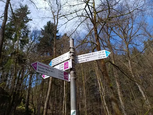
Altes Schloss (Scheiden)
Monument and historic site · 5.7 km
Castle ruin in Germany


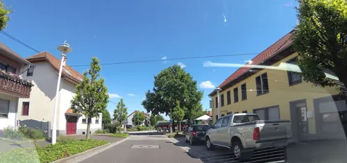
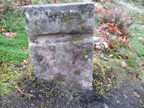
GZ 2 3
Monument and historic site · 4.7 km
Weitere Bilder: https://www.mapillary.com/app/?pKey=959688743161524 https://www.mapillary.com/app/?pKey=822112720259333
Herberloch
Monument and historic site · 3.1 km
In der Mulde eines ehemaligen Steinbruchs hat sich mit menschlicher Hilfe ein kleiner, fast spiegelglatter See, das Herberloch gebildet....

4 more on the map.
Parks, trails and playgrounds14

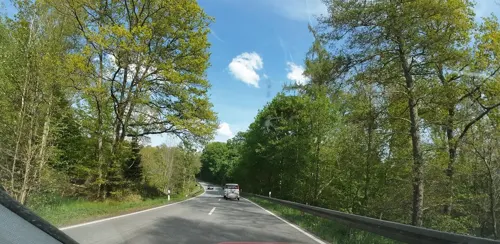



2 more on the map.
Restaurants and cafes34
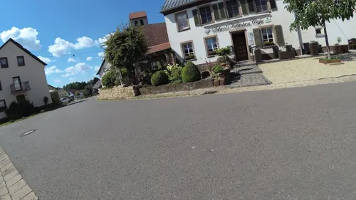
School Kättchen
Restaurant · Regional · 2.7 km
12 Dorfstraße, Weiskirchen
Mo-Sa 17:30-22:00; Su 12:00-21:00; Tu off

Alte Mühle
Restaurant · 4.6 km
37 Deltstraße, Wadern
Mo off; Tu-Fr 15:30-19:30; Sa,Su 10:29-19:00
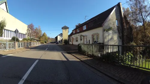
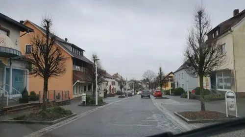
Pizzeria Rimini
Restaurant · Pizza · 0.7 km
Tu-Su 11:00-14:00,17:30-23:30
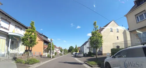
Eiscafé Patrizi
Ice cream · Ice Cream · 0.7 km
Mo-Th 12:00-20:00; Fr off; Sa,Su,PH 13:00-20:00



Seeklause
Bar and pub · 4.6 km
Apr-Oct: Mo-Su 14:00+ "bei schlechtem Wwetter kann zu sein."

Rittscheid-Hütte
Restaurant · 4.0 km
75 Flürchen, Losheim am See
22 more on the map.
Where to stay9
Churches and places of worship20
Shopping5
Gas and EV charging1
Schools, colleges and libraries7
Healthcare3
Klinik für Geriatrie und Neurologie
Hospital · 1.6 km
41 Auf der Flachsbach, Weiskirchen
Map of Weiskirchen
131 places. The map loads OpenStreetMap tiles when you open it.
Getting there and nearby towns
Saarbrücken Airport (SCN) is the nearest airport with scheduled flights listed in OpenStreetMap, 43 km away.
- Wadern 5 km east, about 5 min by car
- Schmelz 13 km south, about 13 min by car
- Lebach 17 km southeast, about 17 min by car
- Merzig 17 km southwest, about 17 min by car
- Tholey 18 km southeast, about 18 min by car
- Beckingen 19 km southwest, about 19 min by car
- Eppelborn 20 km southeast, about 20 min by car
- Marpingen 21 km southeast, about 21 min by car
- Saarwellingen 22 km south, about 22 min by car
- Dillingen 23 km south, about 23 min by car
Drive times are estimates from straight-line distance, not routes.
Local news
Headlines from INDB.
Reviews, tips and questions
Loading what members have shared...
Sources and licences
- GeoNames (CC BY 4.0): population, coordinates, regions and time zone
- Mapillary (see each image): photos
- OpenStreetMap contributors (ODbL 1.0): places, airports, map data
- Wikidata (CC0 1.0): elevation, founding date, time zone, website, landmarks and historic places
- Wikimedia Commons (see each image): photos
- Wikipedia (CC BY-SA 4.0): overview and history text
Photo credits
- Weiskirchen St. Jakobus der Ältere BW 2019-03-10 15-39-13, Berthold Werner, CC BY-SA 4.0
- Umfeld Pfarrhaus Weiskirchen 6, LoKiLeCh, CC BY-SA 4.0
- Umfeld Pfarrhaus Weiskirchen, LoKiLeCh, CC BY-SA 4.0
- Umfeld Pfarrhaus Weiskirchen 3, LoKiLeCh, CC BY-SA 4.0
- Umfeld Pfarrhaus Weiskirchen 4, LoKiLeCh, CC BY-SA 4.0
- Umfeld Pfarrhaus Weiskirchen 2, LoKiLeCh, CC BY-SA 4.0
- Umfeld Pfarrhaus Weiskirchen 5, LoKiLeCh, CC BY-SA 4.0
- Weiskirchen Trierer Straße 38 BW 2019-03-10 15-43-18, Berthold Werner, CC BY-SA 4.0
- Weiskirchen Trierer Straße 38 BW 2019-03-10 15-43-40, Berthold Werner, CC BY-SA 4.0
- Weiskirchen - Kirche - panoramio, Edgar El, CC BY 3.0
- St. Jakobus der Ältere (Weiskirchen) 6, LoKiLeCh, CC BY-SA 4.0
- Weiskirchen St. Jakobus der Ältere BW 2019-03-10 15-45-11, Berthold Werner, CC BY-SA 4.0
- Weiskirchen – Haus des Gastes - panoramio, giggel, CC BY 3.0
- Weiskirchen Triererstr. 17 BW 2019-03-10 15-46-07, Berthold Werner, CC BY-SA 4.0
- St. Jakobus der Ältere (Weiskirchen) 5, LoKiLeCh, CC BY-SA 4.0
- St. Jakobus der Ältere (Weiskirchen) 2, LoKiLeCh, CC BY-SA 4.0
- St. Jakobus der Ältere (Weiskirchen) 3, LoKiLeCh, CC BY-SA 4.0
- St. Jakobus der Ältere (Weiskirchen), LoKiLeCh, CC BY-SA 4.0
- St. Jakobus der Ältere (Weiskirchen) 4, LoKiLeCh, CC BY-SA 4.0
- Weiskirchen Pfarrhaus BW 2019-03-10 15-38-02, Berthold Werner, CC BY-SA 4.0
- Kurpark Weiskirchen. Blick auf Springbrunnen und Parkhotel - panoramio, Wolfgang Barth, CC BY 3.0
- Pavillion im Kurpark Weiskirchen - panoramio, Wolfgang Barth, CC BY 3.0
- Weiskirchen. Kurparkweiher. - panoramio, Wolfgang Barth, CC BY 3.0
- Kurpark Weiskirchen. Blick auf das Rathaus - panoramio, Wolfgang Barth, CC BY 3.0
- Ehrenfriedhof Weiskirchen 7, LoKiLeCh, CC BY-SA 4.0
- Weiskirchen-Kurpark, Barthwo, CC BY-SA 3.0
- Weierweiler, Maria-Königin (1), Cmcmcm1, CC BY-SA 3.0
- Thailen-Church, chris 論, CC BY-SA 3.0
- Barbara Wayside Shrine in Konfeld, Andy Dufresne & Red, CC BY-SA 4.0
- St. Jakobus der Ältere 2 20190422, Andy Dufresne & Red, CC BY-SA 4.0
- Bildchen Morscholz, Andy Dufresne & Red, CC BY-SA 4.0
- Buchheimer Kapelle Rappweiler, Andy Dufresne & Red, CC BY-SA 4.0
- Grotte Konfeld bei Weiskirchen, Andy Dufresne & Red, CC BY-SA 4.0
- Weiskirchen Mariengrotte, Andy Dufresne & Red, CC BY-SA 4.0
- Finkenburg Weiskirchen3, Johannes Simon, CC BY 2.0
- Brücke über den Kurparkweiher - panoramio, Wolfgang Barth, CC BY 3.0
- Glocken-Korkenzieher-Typ2, Barthwo, CC BY-SA 4.0
- Kurpark Weikirchen. Überdachter Wandelgang. - panoramio, Wolfgang Barth, CC BY 3.0
- Street-level photo, teddy73, CC BY-SA 4.0
- Street-level photo, NorMan61, CC BY-SA 4.0
- Street-level photo, teddy73, CC BY-SA 4.0
- Street-level photo, teddy73, CC BY-SA 4.0
- Street-level photo, teddy73, CC BY-SA 4.0
- Street-level photo, teddy73, CC BY-SA 4.0
- Street-level photo, teddy73, CC BY-SA 4.0
- Street-level photo, teddy73, CC BY-SA 4.0
- Street-level photo, teddy73, CC BY-SA 4.0
- Street-level photo, teddy73, CC BY-SA 4.0
- Street-level photo, teddy73, CC BY-SA 4.0
- Street-level photo, teddy73, CC BY-SA 4.0
- Street-level photo, teddy73, CC BY-SA 4.0
- Street-level photo, teddy73, CC BY-SA 4.0
- Street-level photo, teddy73, CC BY-SA 4.0
- Street-level photo, teddy73, CC BY-SA 4.0
- Street-level photo, teddy73, CC BY-SA 4.0
- Street-level photo, teddy73, CC BY-SA 4.0
- Street-level photo, teddy73, CC BY-SA 4.0
- Street-level photo, NorMan61, CC BY-SA 4.0
- Street-level photo, teddy73, CC BY-SA 4.0


Page built November 9, 2026. Spotted a mistake? Tell us or suggest a place.