


Why visit Boppard
Townapedia lists 73 museums and landmarks, 31 parks and trails, 143 places to eat, 58 places to stay and 145 attractions in and around town.
Highlights include Lahnstein, Gündersberg, Philippsburg and Marksburg.
Weather in Boppard
Forecast from MET Norway (CC BY 4.0). Full forecast
About Boppard
Boppard (German pronunciation: [ˈbɔpaʁt] ), formerly also spelled Boppart, is a town and municipality (since the 1976 inclusion of 9 neighbouring villages, Ortsbezirken) in the Rhein-Hunsrück-Kreis (district) in Rhineland-Palatinate, Germany, lying in the Rhine Gorge, a UNESCO World Heritage Site. The town is also a state-recognized tourism resort (Fremdenverkehrsort) and is a winegrowing centre.
From the Wikipedia article Boppard (this version), under CC BY-SA 4.0.
Travel tips from other travellers: Boppard on Wikivoyage (CC BY-SA 4.0).
Things to do145

Lahnstein
Monument and historic site · 7.9 km
City in Rhein-Lahn-Kreis in Rhineland-Palatinate, Germany



133 more on the map.
Museums and landmarks73


Bornhofen Monastery
Monument and historic site · Catholic · 3.3 km
Kirchplatz, Kamp-Bornhofen

Gebetshäuschen der Sieben Schmerzen Mariens
Monument and historic site · Catholic · 0.7 km
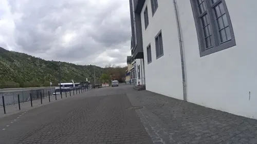
Museum Boppard, Kurfürstliche Burg
Museum
2 Burgplatz, Boppard
Tu-Fr 10:00-17:00; Sa,Su,Mo,PH 11:00-18:00


Thurant Castle
Museum · 9.9 km
Castle ruins above the village of Alken on the Moselle
ehem. Wassermühle (Ruine)
Monument and historic site · 5.1 km
Die ehemalige Wassermühle steht unter Denkmalschutz!
61 more on the map.
Parks, trails and playgrounds31





19 more on the map.
Restaurants and cafes143
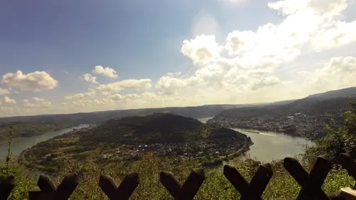

Burg Liebenstein
Restaurant · German · 3.8 km
Erstklassiket Blick vom oberen Biergarten auf Wiese unter alten Bäumen zur Burg Sterrenberg.
1 Zu den Burgen
Tu-Su 11:00-21:00; Mo off
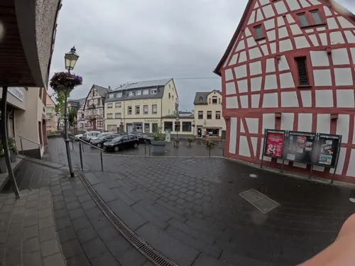

Alter Posthof
Restaurant · German · 4.7 km
47 Mainzer Straße, Spay
We-Sa 17:00-21:00; Su 12:00-13:45,17:00-20:00

Bookwood Burgerstube
Restaurant · Burger · 4.2 km
6 Birkenstraße, Boppard
Fr 17:00-21:00; Sa-Su 16:00-21:00

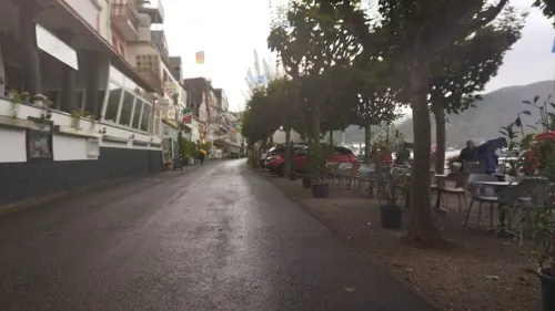
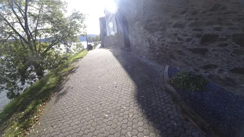
Gasthaus Zum Goldenen Schlüssel
Restaurant · German · 6.1 km
14 Marktplatz, Braubach
Mo-Tu,Fr-Su 11:00-24:00
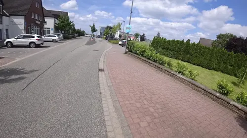
Happy's Pizzeria
Restaurant · Pizza, Indian · 4.1 km
2 Am Heidepark, Boppard
Tu-Fr 11:30-14:00,17:30-22:00; Sa 17:30-22:00; Su 11:30-14:00,17:30-22:00
Laguna
Restaurant · Italian · 6.2 km
3 Heinrich-Schlusnus-Straße, Braubach
We-Fr,Su 11:00-14:00,17:30-22:00; Sa 17:30-22:00
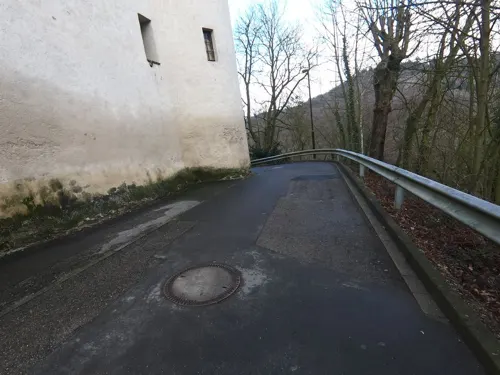


Marksburg Schänke
Restaurant · German · 6.3 km
Marksburg, Braubach
Apr-Sep: Mo-Su,PH 10:00-18:00; Nov-Mar: Mo-Su,PH 11:00-17:00
131 more on the map.
History
The earliest trace of settlement unearthed by archaeologists in the Boppard area has been a storage yard dating back some 13,000 years to the time of the Federmesser culture.
From the History section of Boppard on Wikipedia, under CC BY-SA 4.0.
Where to stay58
Churches and places of worship42
Peterskapelle Spay
Church · Roman Catholic · 4.0 km
Mainzer Straße, Spay
Shopping26
Gas and EV charging11
Schools, colleges and libraries13
Healthcare10
MVZ Emmelshausen Standort Boppard-Buchholz
Clinic and pharmacy · 4.1 km
8 Am Heidepark, Boppard
Map of Boppard
250 places. The map loads OpenStreetMap tiles when you open it.
Getting there and nearby towns
Hahn Airport (HHN) is the nearest airport with scheduled flights listed in OpenStreetMap, 39 km away.
- Lahnstein 8 km north, about 8 min by car
- Koblenz 14 km north, about 14 min by car
- Neuwied 24 km north, about 24 min by car
- Mayen 28 km northwest, about 28 min by car
- Montabaur 28 km northeast, about 28 min by car
- Diez 34 km northeast, about 34 min by car
- Bad Schwalbach 36 km east, about 36 min by car
- Limburg an der Lahn 37 km northeast, about 37 min by car
- Geisenheim 38 km southeast, about 38 min by car
- Taunusstein 41 km east, about 41 min by car
Drive times are estimates from straight-line distance, not routes.
Local news
Headlines from INDB.
Reviews, tips and questions
Loading what members have shared...
Sources and licences
- GeoNames (CC BY 4.0): population, coordinates, regions and time zone
- Mapillary (see each image): photos
- OpenStreetMap contributors (ODbL 1.0): places, airports, map data
- Wikidata (CC0 1.0): elevation, founding date, time zone, website, landmarks and historic places
- Wikimedia Commons (see each image): photos
- Wikipedia (CC BY-SA 4.0): overview and history text
Photo credits
- Boppard Stadszicht vanuit het noorden 1, RomkeHoekstra, CC BY-SA 4.0
- Boppard – Evangelische Christuskirche - panoramio, Edgar El, CC BY 3.0
- Infotafel im archäologischen Park in Boppard, Christian Kipping, CC BY-SA 3.0
- Turm 6 des römischen Kastells Boppard, Christian Kipping, CC BY-SA 3.0
- Römerkastell Boppard, Holger Weinandt at de.wikipedia, CC BY-SA 3.0
- Grabstein des Diakons Besontio in Boppard, Christian Kipping, CC BY-SA 3.0
- Römischer Grabstein von 43n. Chr. in Boppard, Christian Kipping, CC BY-SA 3.0
- Turm 9 des römischen Kastells Boppard 2, Christian Kipping, CC BY-SA 3.0
- Archäologischer Park Boppard, Christian Kipping, CC BY-SA 3.0
- Manhole cover Boppard 2, Aschroet, CC0
- Löwe am Eltzer Hof in Boppard, Christian Kipping, CC BY-SA 3.0
- Wappen auf dem Vorderhaus des Eltzer Hofs in Boppard, Christian Kipping, CC BY-SA 3.0
- Detailausschnitt der südlichen Kastellmauer in Boppard, Christian Kipping, CC BY-SA 3.0
- Boppard Stolpersteinlage Oberstraße 118, Alfons Tewes, CC BY-SA 4.0
- Vorderhaus des Eltzer Hofs in Boppard, Christian Kipping, CC BY-SA 3.0
- 56154 Boppard, Germany - panoramio (5), AndreKeus, CC BY 3.0
- Boppard Fachwerkhaus Oberstraße 147, Aidexxx, CC BY-SA 4.0
- Café am Markt, Boppard, 2014, Bahnfrend, CC BY-SA 4.0
- Boppard Stolperstein Oberstraße 118 Franz Schieffer, Alfons Tewes, CC BY-SA 4.0
- 56154 Boppard, Germany - panoramio (12), Foto Fitti, CC BY-SA 3.0
- Karmeliterkloster von Boppard, Christian Kipping, CC BY-SA 3.0
- Boppard Postamt Heerstraße 177, Aidexxx, CC BY-SA 4.0
- Brunnen Boppard 3, Aschroet, CC0
- Brunnen Boppard 1, Aschroet, CC0
- Brunnen Boppard 10, Aschroet, CC0
- Brunnen Boppard 4, Aschroet, CC0
- Brunnen Boppard 6, Aschroet, CC0
- Brunnen Boppard 5, Aschroet, CC0
- Brunnen Boppard 7, Aschroet, CC0
- Brunnen Boppard 2, Aschroet, CC0
- 56154 Boppard, Germany - panoramio (16), Foto Fitti, CC BY-SA 3.0
- Boppard Wohnhauslage Simmerner Straße 26, Alfons Tewes, CC BY-SA 4.0
- 56154 Boppard, Germany - panoramio (14), Foto Fitti, CC BY-SA 3.0
- 56154 Boppard, Germany - panoramio (17), Foto Fitti, CC BY-SA 3.0
- 56154 Boppard, Germany - panoramio (15), Foto Fitti, CC BY-SA 3.0
- Boppard St Severus south side, Arnoldius, CC BY-SA 4.0
- 56154 Boppard, Germany - panoramio (13), Foto Fitti, CC BY-SA 3.0
- 56154 Boppard, Germany - panoramio (20), Foto Fitti, CC BY-SA 3.0
- Johanniskirche Lahnstein 2009, Holger Weinandt, CC BY-SA 3.0 de
- Burg Lahneck 2010, Holger Weinandt, CC BY-SA 3.0 de
- Alken, Burg Thurant, 2012-08 CN-01, kaʁstn Disk / Cat, CC BY-SA 3.0 de
- Marksburg, Holger Weinandt, CC BY-SA 3.0
- BurgLiebenstein02, Roland Todt , edited by Sir Gawain, CC BY-SA 3.0
- BurgSterrenberg, Roland Todt, CC BY-SA 3.0
- Burg Osterspai im Herbst, Rolf Kranz, CC BY-SA 4.0
- 20061008-Boppard Kirche, Luidger, CC BY-SA 3.0
- Pfarrkirche St. Aegidius Bad Salzig, padrei, CC BY 3.0
- Schloss Liebeneck, Nordostseite, Rolf Kranz, CC BY-SA 4.0
- Sender Boppard-Fleckertshöhe, Holger Weinandt, CC BY-SA 3.0 de
- Kant-Gymnasium Boppard, Altbau, Pyr o man, CC BY-SA 3.0
- Boppard karmeliter ansicht vom rhein1500x1349 guntherseibold, Gunther Seibold (kirchbau.de), GFDL
- Spay Peterskapelle 107, Reinhardhauke, CC BY-SA 3.0
- Schloß Philippsburg und Marksburg (Braubach), Renate007, CC BY-SA 4.0
- Rhens, Sint-Dionysiuskerk, RomkeHoekstra, CC BY-SA 4.0
- Spay-lambertus01, Holgertsmännchen at de.wikipedia, CC BY-SA 3.0
- Rhens, St. Theresiakerk, RomkeHoekstra, CC BY-SA 4.0
- Weiler, Sint-Petrus in de Ketenen - exterieur, RomkeHoekstra, CC BY-SA 4.0
- Christuskirche Boppard West-Ansicht, Bopparder, CC BY-SA 4.0
- Aussichtsturm Fünfseenblick-01, Muck, CC BY-SA 4.0
- Braubach, Martinuskapel (2022), RomkeHoekstra, CC BY-SA 4.0
- Hunsrückbahn Mai, Madinn, CC BY-SA 3.0
- Königsstuhl bei Rhens2, Unknown author, CC BY-SA 3.0
- Auf der Schottel, Osterspai 7141- 026, Mechtild Rehmann, CC BY-SA 4.0
- Hintere Dick - Eisenbolz-3, Freiherr-von-boppard.de, CC BY-SA 3.0
- Spay, Hotel-Restaurant „Alter Posthof“, Manfred Schröter, Berga, CC BY-SA 4.0
- DSC 7916 Braubach, Barbarakirche - 2022, Gerhard5256, CC BY-SA 4.0
- Ney01, Prankster, CC0
- Bornhofen Kirche Kloster, Marion Halft, CC BY-SA 4.0
- Street-level photo, dcp, CC BY-SA 4.0
- Street-level photo, Vosgivince, CC BY-SA 4.0
- Street-level photo, changchun1, CC BY-SA 4.0
- Street-level photo, changchun1, CC BY-SA 4.0
- Street-level photo, changchun1, CC BY-SA 4.0
- Street-level photo, slp_gho, CC BY-SA 4.0
- Street-level photo, kalcaaro, CC BY-SA 4.0
- Street-level photo, slpaxe, CC BY-SA 4.0
- Street-level photo, chuck, CC BY-SA 4.0
- Street-level photo, jolenesailer, CC BY-SA 4.0
- Street-level photo, jolenesailer, CC BY-SA 4.0
- Street-level photo, ramap, CC BY-SA 4.0
- Street-level photo, PSMSLP, CC BY-SA 4.0
- Street-level photo, amenophis, CC BY-SA 4.0
- Street-level photo, amenophis, CC BY-SA 4.0
- Street-level photo, ziltoidium, CC BY-SA 4.0
- Street-level photo, kalcaaro, CC BY-SA 4.0
- Street-level photo, chuck, CC BY-SA 4.0
- Street-level photo, VIA_CH, CC BY-SA 4.0
- Street-level photo, changchun1, CC BY-SA 4.0
- Street-level photo, VIA_CH, CC BY-SA 4.0
- Street-level photo, Lowiekse, CC BY-SA 4.0
- Street-level photo, Vosgivince, CC BY-SA 4.0
- Street-level photo, chuck, CC BY-SA 4.0
- Street-level photo, kalcaaro, CC BY-SA 4.0


Page built November 8, 2026. Spotted a mistake? Tell us or suggest a place.