


Zell, Germany
Verbandsgemeinde Zell (Mosel)
Zell is a town of 4,402 people in Rheinland-Pfalz, Germany.
Why visit Zell
Townapedia lists 73 museums and landmarks, 14 parks and trails, 298 places to eat, 95 places to stay and 38 attractions in and around town.
Highlights include Bad Bertrich, Geierlay, Burg Arras and Stadtmauer.
Weather in Zell
Forecast from MET Norway (CC BY 4.0). Full forecast
About Zell
Zell (Mosel) is a Verbandsgemeinde ("collective municipality") in the district Cochem-Zell, in Rhineland-Palatinate, Germany. The seat of the Verbandsgemeinde is in Zell.
From the Wikipedia article Zell (Verbandsgemeinde) (this version), under CC BY-SA 4.0.
Things to do38

Bad Bertrich
Monument and historic site · 11.5 km
Municipality in Germany


Aussichtsturm Moselschleife
Scenic view · 4.3 km
Aussichtsturm längste Moselschleife 11km lang 500 getrennt
24/7

Leofelsen
Scenic view · 5.5 km
Pavillon ohne Wände mit halb umlaufender Bank und rundem Tisch in der Mitte
26 more on the map.
Museums and landmarks73


Stadtmauer
Monument and historic site
Die Stadtmauer wurde 1689 von französischen Soldaten zerstört und die Reste nach dem großen Stadtbrand 1848 zurückgebaut, um Steine für...


spätrömische Höhensiedlung Alteburg
Monument and historic site · 5.1 km

61 more on the map.
Parks, trails and playgrounds14





2 more on the map.
Restaurants and cafes298
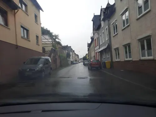
Das Mosel STEAKHOUSE
Restaurant · Steak House · 2.4 km
8 Moselstraße, Briedel
Fr-Mo 18:00-21:00; Tu-Th off

Gutsschänke "Beim Weinbauer"
Restaurant · Regional, Tarte Flambee · 6.2 km
33 Zeller Straße, Senheim
May-Oct: Th-Sa 17:30+
Hotel Burg Arras
Restaurant · Regional, German · 6.1 km
1 Wohnplatz, Alf
Mo-Su 09:00-21:00; Jan-Feb off
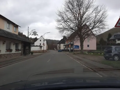
Hotel Dampfmühle
Restaurant · Regional · 6.1 km
80 Am Steffensberg, Enkirch
Th-Tu 11:30-14:00,17:30-21:00; We off
Hotel Weinhaus Halfenstube
Restaurant · Regional · 6.6 km
30 Moselweinstraße, Senheim
Th-Tu 08:00-22:00;We 08:00-11:00,17:00-22:00
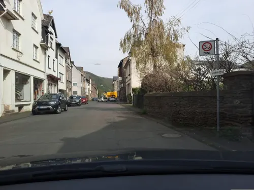
Pizzeria Cappuccino Da Pino
Restaurant · Pizza · 6.5 km
1 Am Steffensberg, Enkirch
We-Su 11:00-14:30,17:00-22:00; Mo,Tu off
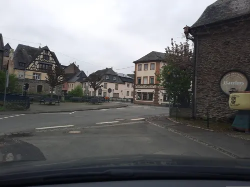
Pizzeria Cappuccino De Pino
Restaurant · Pizza, Italian · 6.5 km
1 Am Steffensberg, Enkirch
We-Su 11:00-14:00,17:00-22:00; Mo,Tu off


Restaurant Sunderhof
Restaurant · Regional, German, Polish · 6.6 km
5 Am Gestade, Senheim
Mo-Su 12:00-22:00; Tu off
286 more on the map.
Where to stay95
Churches and places of worship34
Kapelle Heilige Magdalena
Church · Roman Catholic · 6.5 km
28 Moselweinstraße, Senheim
Shopping11
Gas and EV charging4
Schools, colleges and libraries5
Healthcare3
Dr. Hückstädts Apotheke
Clinic and pharmacy · 1.7 km
2 Zur alten Schanze, Zell (Mosel)
Map of Zell
250 places. The map loads OpenStreetMap tiles when you open it.
Getting there and nearby towns
Hahn Airport (HHN) is the nearest airport with scheduled flights listed in OpenStreetMap, 11 km away.
- Wittlich 21 km west, about 21 min by car
- Morbach 25 km south, about 25 min by car
- Mayen 33 km north, about 33 min by car
- Idar-Oberstein 36 km south, about 36 min by car
- Boppard 37 km northeast, about 37 min by car
- Lahnstein 43 km northeast, about 43 min by car
- Koblenz 46 km northeast, about 46 min by car
- Andernach 47 km north, about 47 min by car
- Trier 49 km southwest, about 49 min by car
- Neuwied 49 km northeast, about 49 min by car
Drive times are estimates from straight-line distance, not routes.
Local news
Headlines from INDB.
Reviews, tips and questions
Loading what members have shared...
Sources and licences
- GeoNames (CC BY 4.0): population, coordinates, regions and time zone
- Mapillary (see each image): photos
- OpenStreetMap contributors (ODbL 1.0): places, airports, map data
- Wikidata (CC0 1.0): elevation, founding date, time zone, website, landmarks and historic places
- Wikimedia Commons (see each image): photos
- Wikipedia (CC BY-SA 4.0): overview and history text
Photo credits
- Mosel - Zell and vineyards, Roger Wollstadt, CC BY-SA 2.0
- Zell (Mosel), Petrus-Statue -- 2015 -- 7606, Dietmar Rabich, CC BY-SA 4.0
- Zell (Mosel), Mosaik -Stadtgeschichte- -- 2015 -- 7603, Dietmar Rabich, CC BY-SA 4.0
- Zell -Mosel - Evangelische Kirche - panoramio, Edgar El, CC BY 3.0
- Zell -Mosel - Evangelische Kirche - panoramio (1), giggel, CC BY 3.0
- Zell -Mosel - Schloß Zell - Hotel und Weinvertrieb GmbH - Schlossstraße 8 a - panoramio, giggel, CC BY 3.0
- Zell -Mosel - Schlosskeller, Adlerhof, Weingut Otto Kallfelz - panoramio, giggel, CC BY 3.0
- Zell -Mosel - Winzerschänke Zum alten Bahnhof - panoramio, Edgar El, CC BY 3.0
- Zell -Mosel – Blick zur linken Moselseite zum Ortsteil Zell-Kaimt , am Moselufer der Wohnmobilstellplatz - panoramio, giggel, CC BY 3.0
- Zell -Mosel - Logenplatz an der Moselpromenade - panoramio (1), giggel, CC BY 3.0
- Zell -Mosel - Winzerschänke Zum alten Bahnhof - panoramio (1), giggel, CC BY 3.0
- Zeller Schwarze Katz, Fuzsin, CC BY-SA 3.0
- Zell -Mosel - die kath. Kirche St. Peter und Paul im Ortsteil Kaimt - panoramio, Edgar El, CC BY 3.0
- Zell (Mosel), Balduinstraße -- 2015 -- 7588, Dietmar Rabich, CC BY-SA 4.0
- Zell (Mosel), Balduinstraße -- 2015 -- 7601, Dietmar Rabich, CC BY-SA 4.0
- Catholic church of Zell at the Mosel river - panoramio, Henk Monster, CC BY 3.0
- Zell (Mosel) Römerstraße 64 Frontansicht, SilvioMartin, CC BY-SA 4.0
- Zell -Mosel - Ristorante - Pizzaria La Terrazza - panoramio, giggel, CC BY 3.0
- Zell (Mosel), Rathaus -- 2015 -- 7587, Dietmar Rabich, CC BY-SA 4.0
- Zell (Mosel), Schwarze-Katz-Brunnen -- 2015 -- 7600, Dietmar Rabich, CC BY-SA 4.0
- Zell (Mosel), Schwarze-Katz-Brunnen -- 2015 -- 7591, Dietmar Rabich, CC BY-SA 4.0
- Zell (Mosel), Schwarze-Katz-Brunnen -- 2015 -- 7592, Dietmar Rabich, CC BY-SA 4.0
- Zell -Mosel - Katholische Kirche St. Peter und Paul - panoramio, Edgar El, CC BY 3.0
- Zell (Mosel) Römerstraße 64 Detailansicht, SilvioMartin, CC BY-SA 4.0
- Zell (Mosel) Römerstraße 64 Eckansicht, SilvioMartin, CC BY-SA 4.0
- Zell (Mosel), Rathaus -- 2015 -- 7589-90, Dietmar Rabich, CC BY-SA 4.0
- Zell -Mosel - kath. Kirche St. Peter und Paul - panoramio, Edgar El, CC BY 3.0
- Zell -Mosel - Turm der kath. Kirche St. Peter und Paul - panoramio, giggel, CC BY 3.0
- Zell (Mosel), Kaimt -- 2015 -- 7593-9, Dietmar Rabich, CC BY-SA 4.0
- Zell -Mosel - Brücke zum Ortsteil Kaimt - panoramio, giggel, CC BY 3.0
- Zeller-Schwarze-Katz, Ralfk, CC BY-SA 3.0
- Zell -Mosel - Logenplatz an der Moselpromenade - panoramio, Edgar El, CC BY 3.0
- Zell -Mosel - das Fachwerkhaus „Boos von Waldeckhof“ im Ortsteil Zell-Kaimt - panoramio, giggel, CC BY 3.0
- Zell - panoramio (1), René Bongard, CC BY-SA 3.0
- Zell -Mosel - Fachwerkerkerhaus in der Mittelgasse-Ecke Zehntgasse - panoramio, giggel, CC BY 3.0
- Germany - Zell -Mosel - Weinhaus Zum fröhlichen Weinberg, Mittelstrasse 6 - panoramio, giggel, CC BY 3.0
- Moselsteig view of Zell, MartinD, CC BY-SA 4.0
- Zell -Mosel - Fachwerkerker in der Mittelgasse-Ecke Zehntgasse - panoramio, Edgar El, CC BY 3.0
- Bad Bertrich Ortsansicht 02, H.Helmlechner, CC BY-SA 4.0
- Geierlay HDR6, Rabax63, CC BY-SA 4.0
- Burg Arras1, M. Budde, uploader was Sir Gawain, CC BY-SA 3.0
- 2006-07-17 moselschleife bremm hochkessel, Axel Mauruszat, Attribution
- Marienburg Mosel 1900, Unknown author Unknown author, Public domain
- Nehren Kirche 2016, Uwe Barghaan, CC BY-SA 3.0
- Denkmalzone Katholische Kirche St. Remigius in Alf 2H1A3512WI, Kora27, CC BY-SA 4.0
- Enkirch - die kath. Pfarrkirche St. Franziskus war früher eine Wallfahrts- und Klosterkirche - panoramio, Edgar El, CC BY 3.0
- Senhal DSC 4184 kerkje in Senhal, TeunSpaans, CC BY-SA 4.0
- NSG Ediger Laach, ThomasLendt, CC BY-SA 4.0
- InselTaubengruen, Mvo, CC BY-SA 4.0
- Zell-Mosel, kerktoren 2009-08-04 11.37, Michielverbeek, CC BY-SA 3.0
- Alteburg Zell Gesamtansicht von Norden, Kallewirsch, CC BY-SA 3.0
- Street-level photo, bernardvoyageur, CC BY-SA 4.0
- Street-level photo, gbabmap, CC BY-SA 4.0
- Street-level photo, gbabmap, CC BY-SA 4.0
- Street-level photo, Lowiekse, CC BY-SA 4.0
- Street-level photo, Lowiekse, CC BY-SA 4.0
- Street-level photo, Lowiekse, CC BY-SA 4.0
- Street-level photo, ma_rt_in, CC BY-SA 4.0
- Street-level photo, Lowiekse, CC BY-SA 4.0
- Street-level photo, Lowiekse, CC BY-SA 4.0
- Street-level photo, Lowiekse, CC BY-SA 4.0
- Street-level photo, changchun1, CC BY-SA 4.0
- Street-level photo, Lowiekse, CC BY-SA 4.0
- Street-level photo, Lowiekse, CC BY-SA 4.0
- Street-level photo, Lowiekse, CC BY-SA 4.0
- Street-level photo, gbabmap, CC BY-SA 4.0
- Street-level photo, changchun1, CC BY-SA 4.0
- Street-level photo, gbabmap, CC BY-SA 4.0
- Street-level photo, Lowiekse, CC BY-SA 4.0
- Street-level photo, bernardvoyageur, CC BY-SA 4.0
- Street-level photo, Lowiekse, CC BY-SA 4.0
- Street-level photo, Lowiekse, CC BY-SA 4.0
- Street-level photo, Lowiekse, CC BY-SA 4.0


Page built November 9, 2026. Spotted a mistake? Tell us or suggest a place.