


Zeulenroda-Triebes, Germany
Zeulenroda-Triebes is a town of 15,677 people in Thuringia, Germany, founded in February 1, 2006.
Why visit Zeulenroda-Triebes
Townapedia lists 45 museums and landmarks, 24 parks and trails, 79 places to eat, 16 places to stay and 26 attractions in and around town.
Highlights include Gärtnerei & Hofladen Langenwolschendorf, Schöne Höhe, Städtisches Museum Zeulenroda and Museum Hohenleuben.
Weather in Zeulenroda-Triebes
Forecast from MET Norway (CC BY 4.0). Full forecast
About Zeulenroda-Triebes
Zeulenroda-Triebes (German pronunciation: [ˌtsɔʏlənˈʁoːda ˈtʁiːbəs] ) is a German town in the district of Greiz in the state of Thuringia.
From the Wikipedia article Zeulenroda-Triebes (this version), under CC BY-SA 4.0.
Things to do26
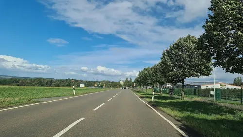
Gärtnerei & Hofladen Langenwolschendorf
Farm and orchard · 1.6 km
7 Am Schafteich, Langenwolschendorf
Tu-Fr 09:00-17:30; Sa 09:00-12:00; PH off "Im Winter Mittwochs geschlosse"

Schöne Höhe
Scenic view · 2.3 km
Aussichtsturm auf der "Schöne Höhe"
Apr-Sep: 08:00-21:00; Oct-Mar: 09:00-17:00

Hofkäserei Büttner
Farm and orchard · 8.6 km
2 Oststraße, Hohenleuben
Mo-Fr 08:30-11:30,13:00-18:00; Sa 08:30-12:00; Su,PH off
Hofladen Frantz
Farm and orchard · 8.2 km
16 Naitschau, Langenwetzendorf
Mo-Fr 08:00-18:00; Sa 08:00-12:00; Su,PH off

Bauer Knoll
Farm and orchard · 8.6 km
9 Wellsdorf, Langenwetzendorf
Oct-Apr: Fr[4]


14 more on the map.
Museums and landmarks45
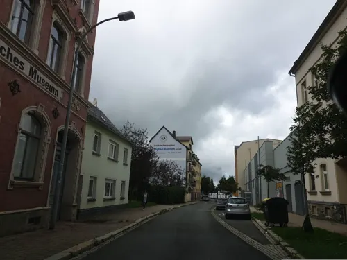
Städtisches Museum Zeulenroda
Museum
30 Aumaische Straße, Zeulenroda-Triebes
We,Fr 09:00-16:00; Th 09:00-18:00; Sa,Su,PH 13:00-17:00




ehemalige Grenzsäule der innerdeutschen Grenze
Monument and historic site · 5.1 km
Von der ehemaligen Übungsanlage der Grenzbefestigung (hier in der Nähe) stammende Beton-Grenzsäule, so wie sie an der ehemaligen...
Herrenhaus Weißendorf (Altes Schloss)
Monument and historic site · 3.0 km
64 Ortsstraße, Weißendorf
33 more on the map.
Parks, trails and playgrounds24
Sommerbad Langenwetzendorf
Sports field and stadium · 9.1 km
Am Bad, Langenwetzendorf
Mo-Su 10:00-20:00; Sep 16-Apr 30 off

Tiergehege Zeulenroda-Triebes
Park · 1.0 km
Im Wald am nördlichen Stadtrand von Zeulenroda-Triebes liegt das Tiergehege in der Rabensleite. Rund 150 Tiere aus 26 Tierarten leben...



12 more on the map.
Restaurants and cafes79

Eiscafe Marktberg
Cafe · Ice Cream, Cake · 8.0 km
3 Marktberg, Auma-Weidatal
Mo 11:30-16:30; Tu-Fr 10:00-16:30; Sa off; Nov-Mar Su 11:00-14:00;...
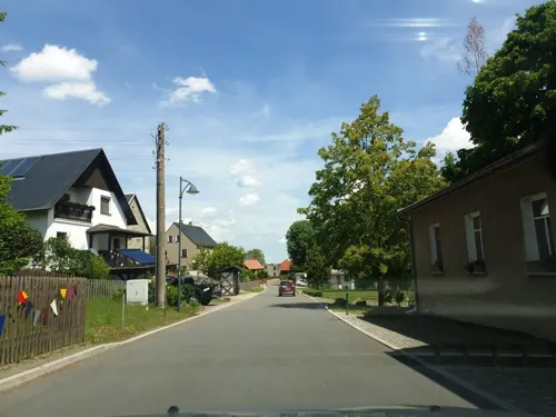
Gasthaus Zur Linde
Restaurant · German, Regional · 8.5 km
47 Wellsdorf, Langenwetzendorf
Mo off; Tu-Sa 16:30-22:00; Su 10:00-13:00,15:30-22:00

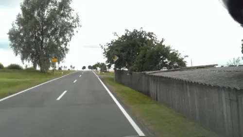
Gasthof Zur Linde
Restaurant · German · 6.8 km
91 Pastor-Blume-Straße, Pausa-Mühltroff
Tu-Fr 11:00-13:00,17:00-23:00; Sa 17:00-23:00; Su 10:00-14:00
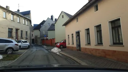
Gaststätte Bergschlösschen
Restaurant · Regional · 2.8 km
27 Kleinwolschendorf
Th-Sa 17:00-22:00; Su 10:00-13:00,15:00-20:00
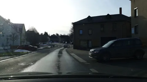
Ratskeller
Restaurant · German
1 Markt, Zeulenroda-Triebes
Tu-Th 11:00-14:00,17:00-22:00; Fr,Sa 17:00-22:00; Su,PH 11:00-14:00
Restaurant "Goldener Löwe"
Restaurant · German · 4.6 km
18 Hauptstraße, Zeulenroda-Triebes
PH,Sa-Th 11:00-14:30,17:00+, Fr 17:00+
Strandhaus Da Rosario
Restaurant · Italian · 1.6 km
30a Bleichenweg
Tu-Th 10:00-14:30,17:30-22:00; Fr-Su 10:00-14:30,17:30-23:00

Eiscafé Italia
Ice cream · 8.3 km
4 Dr.-Julius-Schmidt-Straße, Hohenleuben
Tu-Fr 10:00-18:00; PH,Sa,Su 13:00-18:00
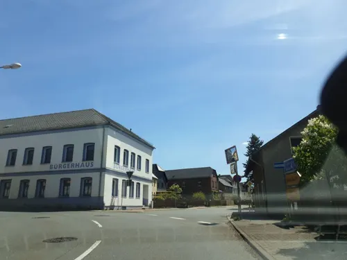


Halterei
Cafe · 8.3 km
21 Naitschau, Langenwetzendorf
Tu,Th 14:00-20:00; Sa 10:00-18:00; Mo,We,Fr,Su,PH off
67 more on the map.
History
Zeulenroda was mentioned in a document for a Saalburg convent as early as 1325, in Medieval Latin as Zulenrode. The village became a town in 1438. Zeulenroda belonged to the principality of the House of Reuss Elder Line for several centuries. On April 16, 1945 the United States Army took over Zeulenroda without a battle. On July 1 the Red Army occupied the town. In 1949 Zeulenroda and Triebes became a part of the German Democratic Republic. After German reunification in 1990, the Free State of Thuringia was reestablished. Zeulenroda merged with Triebes in 2006. The new name of the town is Zeulenroda-Triebes.
From the History section of Zeulenroda-Triebes on Wikipedia, under CC BY-SA 4.0.
Where to stay16
Churches and places of worship23
Dorfkirche Langenwolschendorf
Church · Protestant · 2.7 km
Am Schulberg, Langenwolschendorf
Dorfkirche Wenigenauma
Church · Protestant · 5.1 km
22a Wenigenauma, Auma-Weidatal
Liebfrauenkirche Auma
Church · Lutheran · 8.1 km
Dr.-Martin-Luther-Straße, Auma-Weidatal
Stadtkirche Hohenleuben
Church · Lutheran · 8.4 km
Kirchplatz, Hohenleuben
Shopping19
Gas and EV charging10
Schools, colleges and libraries13
Staatliches Regionales Förderzentrum "Pestalozzischule" Zeulenroda-Triebes
School · 0.6 km
121 Hohe Straße, Zeulenroda-Triebes
Handwerkskammer Ostthüringen Berufsbildungsstätte
School · 1.0 km
45 Heinrich-Heine-Straße, Zeulenroda-Triebes
Staatliche Grundschule "Friedrich-Reimann"
School · 0.7 km
29 Heinrich-Heine-Straße, Zeulenroda-Triebes
Healthcare9
Apotheke am Stadtbrunnen
Clinic and pharmacy
10-12 Schleizer Straße, Zeulenroda-Triebes
Map of Zeulenroda-Triebes
250 places. The map loads OpenStreetMap tiles when you open it.
Getting there and nearby towns
Verkehrslandeplatz Hof-Plauen (HOQ) is the nearest airport with scheduled flights listed in OpenStreetMap, 41 km away.
- Greiz 15 km east, about 15 min by car
- Plauen 20 km southeast, about 20 min by car
- Reichenbach/Vogtland 23 km east, about 23 min by car
- Gera 26 km north, about 26 min by car
- Pößneck 28 km west, about 28 min by car
- Werdau 29 km east, about 29 min by car
- Oelsnitz 29 km southeast, about 29 min by car
- Auerbach 33 km southeast, about 33 min by car
- Crimmitschau 34 km northeast, about 34 min by car
- Zwickau 37 km east, about 37 min by car
Drive times are estimates from straight-line distance, not routes.
Local news
Headlines from INDB.
Reviews, tips and questions
Loading what members have shared...
Sources and licences
- GeoNames (CC BY 4.0): population, coordinates, regions and time zone
- Mapillary (see each image): photos
- OpenStreetMap contributors (ODbL 1.0): places, airports, map data
- Wikidata (CC0 1.0): elevation, founding date, time zone, website
- Wikimedia Commons (see each image): photos
- Wikipedia (CC BY-SA 4.0): overview and history text
Photo credits
- Zeulenroda-Friedrich-Schiller-Gymnasium, Zellreder, CC BY 3.0
- Kirschkau church - thuringia, Lysippos, CC BY-SA 3.0
- Kreuzkirche Zeulenroda 3, Aschroet, CC0
- St. Nikolaus, Pöllwitz 06, Aschroet, CC0
- Kirche Hohenleuben, Lucas Friese, CC BY-SA 3.0
- Aufgang zur Burgruine Reichenfels, Rudolf Eberhard Neuber, Public domain
- Station 155 Sandberg, Lysippos, CC BY-SA 4.0
- Kirche Auma, Lucas Friese, CC BY-SA 3.0
- Tegau, St. Antonius (15), Subbass1, CC BY-SA 4.0
- Church Langenwolschendorf 4, Aschroet, CC0
- Merkendorf - church 2009 (aka), André Karwath aka Aka, CC BY-SA 2.5
- Church Leitlitz, Thuringia 04, Aschroet, CC0
- Church Wenigenauma 2, Aschroet, CC0
- Zeulenroda-Triebes, Germany - panoramio (11), Foto Fitti, CC BY-SA 3.0
- War memorial Pöllwitz 2, Aschroet, CC0
- Gefallenendenkmal Auma, Aagnverglaser, CC BY-SA 4.0
- Aussichtspunkt Moorerlebnispfad Poellwitzer-Wald, Navajoa, CC BY-SA 4.0
- 0x-kursaechs-auma-1, Oxensepp ( talk ), CC BY-SA 3.0
- Burgruine Reichenfels, ich, Public domain
- Dreieinigkeitskirche Zeulenronda, Michael Sander, CC BY-SA 3.0
- Distanzsaeule Auma, elsaxo, Public domain
- Kreuzkirche Zeulenroda, Michael Sander, CC BY-SA 3.0
- Hohenleuben Stadtkirche 01, ErwinMeier, CC BY-SA 4.0
- Church Leitlitz, Thuringia 06, Aschroet, CC0
- Church Wenigenauma 3, Aschroet, CC0
- Zeulenroda, 07937, Germany - panoramio (6), Foto Fitti, CC BY-SA 3.0
- Stadthöhler, Osmlct, CC BY-SA 4.0
- Zeulenroda-ehem-ob-Bf-Empfangsgebäude, Kleeblatt187, CC BY-SA 4.0
- 17.05.95 Zeulenroda ob Bf 202384, Phil Richards, CC BY-SA 4.0
- 17.05.95 Zeulenroda ob Bf 202384 (54293952927), Phil Richards from London, UK, CC BY-SA 2.0
- Zeulenroda, 07937, Germany - panoramio (22), Foto Fitti, CC BY-SA 3.0
- VdN Denkmal Zeulenroda 18156, Michael Wolf ( Webseite ), CC BY-SA 3.0
- Vertriebenen Denkmal Zeulenroda 18168, Michael Wolf ( Webseite ), CC BY-SA 3.0
- Zeulenroda, 07937, Germany - panoramio (10), Foto Fitti, CC BY-SA 3.0
- Zeulenroda, 07937, Germany - panoramio (26), Foto Fitti, CC BY-SA 3.0
- Zeulenroda, 07937, Germany - panoramio (27), Foto Fitti, CC BY-SA 3.0
- Zeulenroda, 07937, Germany - panoramio (23), Foto Fitti, CC BY-SA 3.0
- Zeulenroda, 07937, Germany - panoramio (24), Foto Fitti, CC BY-SA 3.0
- City hall Zeulenroda 7, Aschroet, CC0
- City hall Zeulenroda 6, Aschroet, CC0
- Saeule 155 Sandberg, Navajoa, CC BY 4.0
- Street-level photo, canislupus, CC BY-SA 4.0
- Street-level photo, rhaegar, CC BY-SA 4.0
- Street-level photo, canislupus, CC BY-SA 4.0
- Street-level photo, rhaegar, CC BY-SA 4.0
- Street-level photo, bufonto, CC BY-SA 4.0
- Street-level photo, rhaegar, CC BY-SA 4.0
- Street-level photo, canislupus, CC BY-SA 4.0
- Street-level photo, canislupus, CC BY-SA 4.0
- Street-level photo, canislupus, CC BY-SA 4.0
- Street-level photo, canislupus, CC BY-SA 4.0
- Street-level photo, rhaegar, CC BY-SA 4.0
- Street-level photo, canislupus, CC BY-SA 4.0
- Street-level photo, ramap, CC BY-SA 4.0
- Street-level photo, canislupus, CC BY-SA 4.0
- Street-level photo, bufonto, CC BY-SA 4.0
- Street-level photo, canislupus, CC BY-SA 4.0
- Street-level photo, canislupus, CC BY-SA 4.0
- Street-level photo, atze02, CC BY-SA 4.0
- Street-level photo, ramap, CC BY-SA 4.0
- Street-level photo, rhaegar, CC BY-SA 4.0
- Street-level photo, rhaegar, CC BY-SA 4.0
- Street-level photo, canislupus, CC BY-SA 4.0
- Street-level photo, ramap, CC BY-SA 4.0
- Street-level photo, canislupus, CC BY-SA 4.0
- Street-level photo, canislupus, CC BY-SA 4.0
- Street-level photo, canislupus, CC BY-SA 4.0


Page built November 8, 2026. Spotted a mistake? Tell us or suggest a place.