


Why visit Plauen
Townapedia lists 78 museums and landmarks, 62 parks and trails, 186 places to eat, 36 places to stay and 40 attractions in and around town.
Highlights include Capitol, Elster Viaduct, Holländerwindmühle Syrau and Kapelle Neuensalz.
Weather in Plauen
Forecast from MET Norway (CC BY 4.0). Full forecast
About Plauen
Plauen (German pronunciation: [ˈplaʊən] PLOW-en; Upper Sorbian: Pławno; Czech: Plavno) is a town in Saxony, Germany with a population of around 65,000. It is Saxony's 5th most populated city after Leipzig, Dresden, Chemnitz and Zwickau, the second-largest city of the Vogtland after Gera, as well as the largest city in the Saxon Vogtland region (Sächsisches Vogtland).
From the Wikipedia article Plauen (this version), under CC BY-SA 4.0.
Travel tips from other travellers: Plauen on Wikivoyage (CC BY-SA 4.0).
Photos of Plauen


Things to do40


Falknerei Herrmann
Zoo and aquarium · 3.7 km
25 Reißiger Gewerbering, Plauen
Apr-Oct: Tu-Th,Sa,Su,PH 14:00-17:00


Wasserturm Neundorf
Scenic view · 3.4 km
Turm besichtigen nach telefonischer Voranmeldung oder an einigen Feiertagen


Marktscheune + Pufferfreunde-Winter-Scheune
Farm and orchard · 4.5 km
100 Kobitzschwalder Straße, Plauen
Th 18:00-20:00, Fr-Su 11:00-17:00

Schwab's Hofladen
Farm and orchard · 3.3 km
5 Am Anger, Plauen
Th 14:00-18:00, Fr 09:00-12:00,14:00-18:00; Sa 06:30-12:00;...
28 more on the map.
Museums and landmarks78

Holländerwindmühle Syrau
Museum · 6.7 km
19a Fröbersgrüner Straße, Rosenbach/Vogtl.
May 01-Oct 03 Sa,Su 11:00-16:00; Jul-Aug Tu-Fr 11:00-16:00; PH 11:00-16:00

Kapelle Neuensalz
Museum · 6.1 km
Konzert- und Ausstellungszentrum Kapelle Neuensalz der Vogtland Kultur GmbH
2 Altensalzer Straße, Neuensalz
Tu,Th 09:00-17:00 "Büro"; Sa,Su 14:00-17:00 "Galerie"


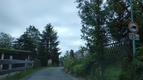
Umgebindehaus Haus Ilse
Museum · 5.2 km
Museum, Veranstaltungsort, Kurse nach Absprache
2 Kauschwitzer Weg, Plauen
"Nach Vereinbarung"


TP Kemmlerberg
Monument and historic site · 3.0 km
Triangulationsäule Station 153 Kemmlerberg Vermessungspunkt II.Ordnung neben dem Bismarckturm Plauen



Drachenhöhle
Monument and historic site · 6.4 km
Feb-Mar 10:00-16:00, Apr-Oct 09:30-17:00, Nov 10:00-16:00, Dec...
66 more on the map.
Parks, trails and playgrounds62

Vogtlandstadion
Sports field and stadium · 3.0 km
25 Nach dem Stadion, Plauen



Freibad Preißelpöhl
Sports field and stadium · 2.2 km
42 Bertrand-Roth-Straße, Plauen
Mo-Fr 10:00-19:00; Sa-Su 09:00-20:00; SH 09:00-20:00



50 more on the map.
Restaurants and cafes186
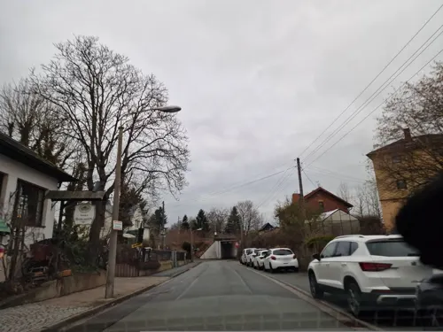
Haus Vogtland
Restaurant · German · 6.6 km
25 Bahnhofstraße, Rosenbach/Vogtland
We-Fr 10:00-14:00, 17:00-23:00; Sa 10:00-23:00; Su 10:00-15:00
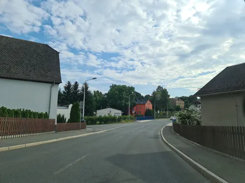
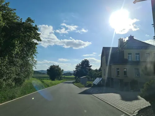
Gaststätte "Zum Steinbruch"
Restaurant · German · 4.0 km
55 Kobitzschwalder Straße, Plauen
We-Th 15:00+, Fr,Su,PH 11:00+; Mo,Tu off
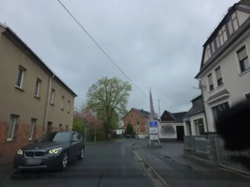
Gaststätte Cambrinus
Restaurant · Regional · 4.6 km
21 Hauptstraße, Plauen
Mo-Fr 11:00-14:00; Sa,Su,PH off
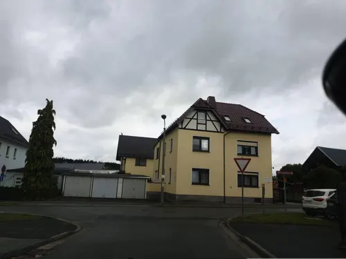
Gaststätte und Pension Cafe Syrau
Restaurant · Regional · 6.5 km
16 Bahnhofstraße, Rosenbach/Vogtland
Sa-We 11:30+
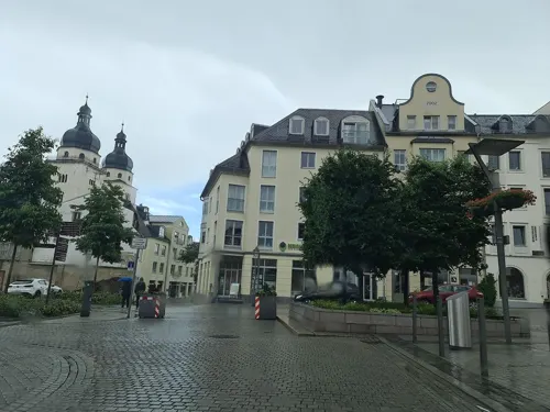
Heinrich's
Restaurant · Regional
1a Altmarkt, Plauen
Mo-Tu 12:00-22:00; Fr 16:30-22:30; Sa 12:00-22:30; Su 12:00-21:00
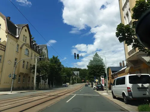
Masala
Restaurant · Indian · 2.3 km
2 Paul-Gerhardt-Straße, Plauen
Tu-Su 11:00-14:30,17:00-22:30; Mo off



Neue Kaffeerösterei Plauen
Cafe · Coffee Shop
4 Neundorfer Straße, Plauen
Tu-Fr 11:00-18:00; Sa 11:00-14:00
Panorama Restaurant biller
Restaurant · Regional · 2.5 km
7 Rosa-Luxemburg-Platz, Plauen
Mo-Sa 10:00-17:00; Su off
174 more on the map.
History
Plauen was founded by Polabian Slavs in the 12th century as "Plawe" and was passed to the Kingdom of Bohemia in 1327. The town was captured by the Archbishop of Magdeburg, Lippold von Bredow, in 1384. In 1466, it was passed to Albertine Saxony and later in 1569 to the Electorate of Saxony. Plauen became incorporated into the Kingdom of Saxony in 1806 during the Napoleonic Wars, and in 1871 it became part of the German Empire.
In the late-19th century, Plauen became a centre of textile manufacturing, specializing in Chemical lace, called Plauen lace. Around 1910, Plauen, as an industrial 'boomtown' of the region, reached its population peak (1910 census: 121,000, 1912: 128,000). Plauen's population, however, has shrunk dramatically since the Second World War (1939: 111,000 inhabitants).
In the 1930s, Plauen hosted the first chapter of the Nazi Party outside of Bavaria.
Read more of the history
During the war, the Nazis operated a prison in the town, and three subcamps of the Flossenbürg concentration camp. Five hundred women, mostly Polish, but also Russian, Italian, French, Yugoslavian and Croatian, were imprisoned and used as forced labour in the first two subcamps, and 50 men from various countries were imprisoned in the third subcamp. In June 1943, the Stalag 366 prisoner-of-war camp was relocated from Kremenchuk to Plauen, and then dissolved in July 1943. It was occupied by American troops on 16 April 1945 but was left to Red Army on 1 July 1945. On 15 December 1945, the city issued 7 semi-postal postage stamps of its own to raise money for reconstruction.
From 1945 onwards, Plauen fell into the Soviet occupation zone of Germany, which later became the German Democratic Republic (1949–1990). Plauen hosted a large Red Army occupation garrison and, in the last years of the GDR (DDR), an officer school of the Border Guards ("Grenztruppen der DDR"). The first mass demonstration against the communist regime in the GDR began in Plauen on 7 October 1989; this was the beginning of a series of mass demonstrations across the country and ultimately led to the re-unification of Germany in 1990.
The exposé Fast Food Nation gives special mention to Plauen as the first city of the GDR to have a McDonald's restaurant following the collapse of the Berlin Wall.
As part of Saxony's local government reform of 1 July 2008, Plauen lost its status as a district-free city and was integrated into the Vogtlandkreis district.
From the History section of Plauen on Wikipedia, under CC BY-SA 4.0.
Notable people from Plauen
 Kornelia EnderEast German swimmerPhoto: Bert Verhoeff for Anefo, CC BY-SA 3.0 nl
 Karl RichterGerman organist, harpsichordist, and conductor (1926–1981)Photo: Unknown Unknown, Public domain
 Chris LöweGerman association football playerPhoto: Sandro Halank , Wikimedia Commons, CC BY-SA 4.0
 Matthias FreihofGerman actor, dub actor, singer, and director (born 1961)Photo: SIMON NEUMANN BERLIN, Public domain
 Lucas JakubczykGerman athletePhoto: Dieses Foto ist von Olaf Kosinsky..., CC BY-SA 3.0 de
 Martin DuligGerman politician (SPD)Photo: HoffmJul, CC BY-SA 4.0
- Eduard Friedrich PoeppigGerman naturalist (1798-1868)
- Angelika BahmannEast German canoeist and coach (born 1952)
- Heinrich Reuß von PlauenGrand Master of the Teutonic Knights (1400-1470)
- Georg Samuel DörffelGerman astronomer and theologian
- Martin KesselGerman writer (1901–1990)
- Emil Friedrich KautzschGerman academic (1841-1910)
Born in Plauen, according to Wikidata (CC0). Each name links to its Wikipedia article.
Where to stay36
Churches and places of worship27
Ev.-meth. Erlöserkirche
Church · Methodist
1 Straße der Deutschen Einheit, Plauen
Herz-Jesu-Kirche
Church · Catholic · 0.8 km
33 Gustav-Adolf-Straße, Plauen
Shopping65
Gas and EV charging14
Schools, colleges and libraries42
Healthcare23
Map of Plauen
250 places. The map loads OpenStreetMap tiles when you open it.
Getting there and nearby towns
Verkehrslandeplatz Hof-Plauen (HOQ) is the nearest airport with scheduled flights listed in OpenStreetMap, 31 km away.
- Oelsnitz 9 km south, about 9 min by car
- Reichenbach/Vogtland 18 km northeast, about 18 min by car
- Greiz 18 km north, about 18 min by car
- Auerbach 19 km east, about 19 min by car
- Zeulenroda-Triebes 20 km northwest, about 20 min by car
- Hof 26 km southwest, about 26 min by car
- Rehau 29 km south, about 29 min by car
- Oberkotzau 30 km southwest, about 30 min by car
- Werdau 31 km northeast, about 31 min by car
- Zwickau 36 km northeast, about 36 min by car
Drive times are estimates from straight-line distance, not routes.
Towns near Plauen


Keep exploring
Local news
Headlines from INDB.
Reviews, tips and questions
Loading what members have shared...
Sources and licences
- GeoNames (CC BY 4.0): population, coordinates, regions and time zone
- Mapillary (see each image): photos
- OpenStreetMap contributors (ODbL 1.0): places, airports, map data
- Wikidata (CC0 1.0): elevation, founding date, time zone, website, landmarks and historic places
- Wikimedia Commons (see each image): photos
- Wikipedia (CC BY-SA 4.0): overview and history text
Photo credits
- Plauen, Saxe - panoramio, Kobzarius, CC BY 3.0
- Tram in Plauen 2021 (6), MOs810, CC BY-SA 4.0
- Tram in Plauen 2021 (4), MOs810, CC BY-SA 4.0
- Tram in Plauen 2021 (10), MOs810, CC BY-SA 4.0
- Tram in Plauen 2021 (11), MOs810, CC BY-SA 4.0
- Plauen, die Bahnhofstraße, südlicher Teil, Dguendel, CC BY 4.0
- Wahlplakat der PARTEI an der Plauen-Galerie 20190828 022, PantheraLeo1359531, CC BY-SA 4.0
- Turm in Plauen 20190828 01, PantheraLeo1359531, CC BY-SA 4.0
- Wahlplakat der SPD und Die PARTEI an der Plauen-Galerie 20190828 010, PantheraLeo1359531, CC BY-SA 4.0
- Wahlstand der SPD an der Plauen-Galerie 20190828 004, PantheraLeo1359531, CC BY-SA 4.0
- Wahlplakat der SPD an der Plauen-Galerie 20190828 003, PantheraLeo1359531, CC BY-SA 4.0
- Wahlplakat der PARTEI an der Plauen-Galerie 20190828 021, PantheraLeo1359531, CC BY-SA 4.0
- Brunnen in Plauen 20190828 02, PantheraLeo1359531, CC BY-SA 4.0
- Babberla der PARTEI an der Plauen-Galerie 20190828 014, PantheraLeo1359531, CC BY-SA 4.0
- Cycling route signs in Plauen, MOs810, CC BY-SA 4.0
- Plauen5073, Clem Rutter , Rochester Kent, CC BY-SA 3.0
- Plauen5072, Clem Rutter, Rochester Kent, CC BY-SA 3.0
- Elstertalbrücke 0894, Ermell, CC BY-SA 4.0
- Elstertalbruecke, Original uploader was Störfix at de.wikipedia, CC BY-SA 3.0
- Schaustickerei Haus01, Tex8, CC BY-SA 3.0
- Markuskirche, ElBe in copyright of K. Tanneberger, Public domain
- Rosenbach Syrau Windmuehle 1, Oberlausitzerin64, CC BY-SA 4.0
- Plauen Johanniskirche vom Rathausturm, N8eule78, CC BY-SA 3.0
- Plauen Kemmler, N8eule78, CC BY 3.0
- Plauen Wasserturm Neundorf, N8eule78, CC BY-SA 3.0
- Plauen Pauluskirche, N8eule78, CC BY 3.0
- Plauen, Gustav-Adolf-Straße 33 (Herz-Jesu-Kirche) 2015-04, N8eule78, CC BY-SA 4.0
- Plauen Vogtlandmuseum, N8eule78, CC BY-SA 3.0
- Vogtlandstadion Plauen, Der-mn, CC BY-SA 3.0
- Diesterweg-Gymnasium Plauen, TomErfurt, CC BY-SA 3.0
- Erich-Ohser-Haus, Conny, CC BY-SA 3.0
- Kürbitz, Salvatorkirche (05), Subbass1, CC BY-SA 4.0
- Plauen, Kemmlerberg - Königlich-Sächsische Triangulirung Station 153 IMG 8803, N8eule78, CC BY-SA 4.0
- Neuensalz Kapelle, N8eule78, CC BY-SA 3.0
- Capitol (2), Conny, CC BY-SA 3.0
- Malzhaus, Conny, CC BY-SA 3.0
- Bärensteinturm - panoramio, G. Zapf, CC BY 3.0
- Straßberg (Plauen), Dorfkirche (02), Subbass1, CC BY-SA 4.0
- Plauen Dorfkirche Jößnitz, N8eule78, CC BY-SA 3.0
- Plauen, Straße der Deutschen Einheit 01 (Erlöserkirche) von Osten, N8eule78, CC BY-SA 4.0
- Plauen Versoehnungskirche, N8eule78, CC BY-SA 3.0
- Plauen, Syratalbrücke 03, N8eule78, CC BY-SA 3.0
- Syrau 003, PeterBraun74, CC BY-SA 3.0
- Großer Weidenteich mit Schilfgürtel, Androschko, CC BY-SA 4.0
- Naturschutzgebiet bei Kauschwitz, Moosmann, Public domain
- Plauen Lutherkirche, N8eule78, CC BY 3.0
- Falknerei Herrmann in Plauen Vogtland 2H1A2262WI, Kora27, CC BY-SA 4.0
- Eisenberg (MGK27617), Markus G. Klötzer, CC BY 4.0
- Plauen, Stadtmauer und Komturhof, Dguendel, CC BY 4.0
- Street-level photo, canislupus, CC BY-SA 4.0
- Street-level photo, canislupus, CC BY-SA 4.0
- Street-level photo, awesamarama, CC BY-SA 4.0
- Street-level photo, canislupus, CC BY-SA 4.0
- Street-level photo, canislupus, CC BY-SA 4.0
- Street-level photo, canislupus, CC BY-SA 4.0
- Street-level photo, canislupus, CC BY-SA 4.0
- Street-level photo, canislupus, CC BY-SA 4.0
- Street-level photo, canislupus, CC BY-SA 4.0
- Street-level photo, canislupus, CC BY-SA 4.0
- Street-level photo, canislupus, CC BY-SA 4.0
- Street-level photo, canislupus, CC BY-SA 4.0
- Street-level photo, canislupus, CC BY-SA 4.0
- Street-level photo, canislupus, CC BY-SA 4.0
- Street-level photo, canislupus, CC BY-SA 4.0
- Street-level photo, canislupus, CC BY-SA 4.0
- Street-level photo, canislupus, CC BY-SA 4.0
- Street-level photo, canislupus, CC BY-SA 4.0
- Street-level photo, canislupus, CC BY-SA 4.0
- Street-level photo, canislupus, CC BY-SA 4.0
- Street-level photo, canislupus, CC BY-SA 4.0
- Street-level photo, canislupus, CC BY-SA 4.0
- Street-level photo, canislupus, CC BY-SA 4.0


Page built November 9, 2026. Spotted a mistake? Tell us or suggest a place.