


Ambrosden, United Kingdom
Ambrosden is a town of 1,662 people in England, United Kingdom.
Why visit Ambrosden
Townapedia lists 3 museums and landmarks, 7 parks and trails, 10 places to eat, 1 place to stay and 2 attractions in and around town.
Highlights include Graven Hill, Boarstall Tower, Merton Roman Camp and Woodsides Meadow.
Weather in Ambrosden
Forecast from MET Norway (CC BY 4.0). Full forecast
About Ambrosden
Ambrosden is a village and civil parish in Cherwell, Oxfordshire, England, 3 miles (5 km) southwest of Bicester to which it is linked by the A41 road, and 13 miles (21 km) from Oxford. The 2011 Census recorded the parish's population as 2,248. The parish is bounded by the River Ray to the south, its tributary the River Bure to the west, the outskirts of Bicester to the north and field boundaries to the east.
From the Wikipedia article Ambrosden (this version), under CC BY-SA 4.0.
Things to do2

Museums and landmarks3

Boarstall Tower
Museum · 3.5 mi
Grade I listed house in Boarstall, Buckinghamshire, England, UK

Parks, trails and playgrounds7



Restaurants and cafes10



More about Ambrosden
Geography
Ambrosden is about 3 miles (5 km) southeast of Bicester (the nearest railway station), connected by the A41 road. The site of Alchester Roman town is about 2 miles (3 km) west of the village, and the village of Arncott is about 1+1⁄2 miles (2.4 km) to the south.
In 1932 Langford, Wretchwick, and Middle Wretchwick Farms, which were formerly part of the Bicester Market End township, were added to Ambrosden. The townships of Blackthorn and Arncott were part of Arncott but in the 20th century were detached to form separate parishes. The present Ambrosden parish is about 2 miles (3 km) wide both north–south and east–west.
Three bridges cross the River Ray in the parish: Heath Bridge and Arncott Bridge, and Blackthorn Bridge. Arncott Bridge is on the road between Arncott and Ambrosden and is a five-arched bridge built in the 18th century. The land is relatively level, about 200 feet (61 m) above sea level, apart from Graven Hill north-west of the village, which is 372 feet (113 m) high.
From the Wikipedia article Ambrosden, under CC BY-SA 4.0.
Notable people from Ambrosden
- Albert Freeman Africanus KingAmerican physician (1841–1914)
- Cassandra, Lady HawkeBritish writer (died 1813)
Born in Ambrosden, according to Wikidata (CC0). Each name links to its Wikipedia article.
Where to stay1
Churches and places of worship1
Shopping1
Schools, colleges and libraries3
Healthcare1
Map of Ambrosden
29 places. The map loads OpenStreetMap tiles when you open it.
Getting there and nearby towns
Oxford Airport (OXF) is the nearest airport with scheduled flights listed in OpenStreetMap, 9 miles away.
- Bicester 2 mi northwest, about 4 min by car
- Brill 5 mi southeast, about 8 min by car
- Oakley 5 mi southeast, about 8 min by car
- Kidlington 8 mi southwest, about 13 min by car
- Waddesdon 9 mi east, about 14 min by car
- Tingewick 9 mi north, about 14 min by car
- Oxford 10 mi southwest, about 16 min by car
- Cowley 10 mi south, about 16 min by car
- Thame 10 mi southeast, about 17 min by car
- Buckingham 11 mi northeast, about 17 min by car
Drive times are estimates from straight-line distance, not routes.
Towns near Ambrosden


Keep exploring
Local news
Headlines from INDB.
Reviews, tips and questions
Loading what members have shared...
Sources and licences
- GeoNames (CC BY 4.0): population, coordinates, regions and time zone
- Mapillary (see each image): photos
- OpenStreetMap contributors (ODbL 1.0): places, airports, map data
- Wikidata (CC0 1.0): elevation, founding date, time zone, website, landmarks and historic places
- Wikimedia Commons (see each image): photos
- Wikipedia (CC BY-SA 4.0): overview and history text
Photo credits
- Ambrosden church, Jon S, CC BY-SA 2.0
- Woodsides Meadow (2), Dudley Miles, CC BY-SA 4.0
- Ambrosden StMaryV SE, Motacilla, CC BY-SA 3.0
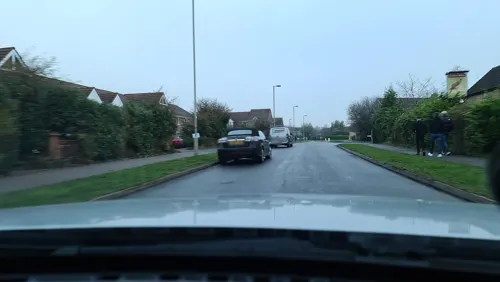
- Street-level photo, alexanderar, CC BY-SA 4.0
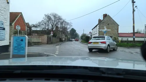
- Street-level photo, alexanderar, CC BY-SA 4.0
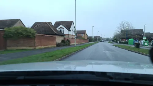
- Street-level photo, alexanderar, CC BY-SA 4.0
Page built November 10, 2026. Spotted a mistake? Tell us or suggest a place.