


Buckingham, United Kingdom
Buckingham is a town of 12,890 people in England, United Kingdom.
Why visit Buckingham
Townapedia lists 11 museums and landmarks, 12 parks and trails, 36 places to eat, 3 places to stay and 2 attractions in and around town.
Highlights include Thornborough Bridge, The Film Place, Buckingham Old Gaol and Buckingham Chantry Chapel.
Weather in Buckingham
Forecast from MET Norway (CC BY 4.0). Full forecast
About Buckingham
Buckingham is a market town in north Buckinghamshire, England, close to the borders with Northamptonshire and Oxfordshire. The civil parish of Buckingham had a population of 14,294 at the 2021 census. The town lies approximately 12 miles (19 km) west of Milton Keynes, 19 miles (31 km) south-east of Banbury and 24 miles (39 km) north-east of Oxford.
From the Wikipedia article Buckingham (this version), under CC BY-SA 4.0.
Travel tips from other travellers: Buckingham on Wikivoyage (CC BY-SA 4.0).
Things to do2
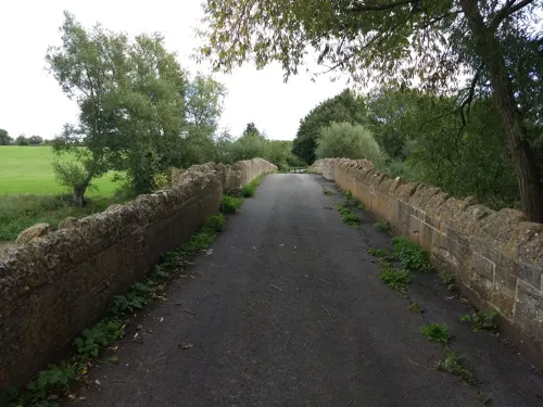
Thornborough Bridge
Bridge · 2.1 mi
Grade I listed bridge in Buckinghamshire, England

Museums and landmarks11

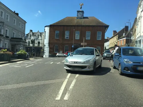
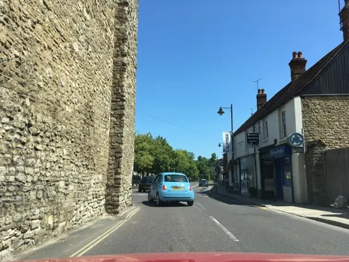

Stowe House
Museum · 2.5 mi
Country house located in Stowe, Buckinghamshire, England, UK


Parks, trails and playgrounds12

Buckingham Sand Pit
Park
Local nature reserve in Buckinghamshire, England

Stowe Park and Garden
Park · 3.0 mi
Park and garden in Buckinghamshire, England, UK



Restaurants and cafes36
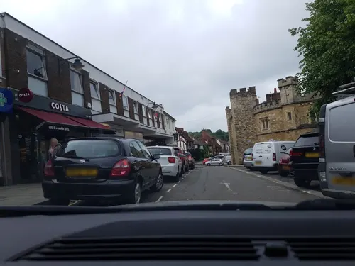
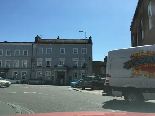
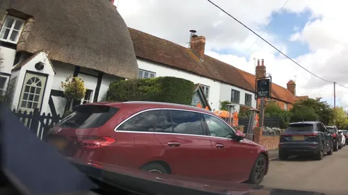
The Queens Head
Bar and pub · 1.3 mi
Now re-opened in 2023, fully renovated, was closed from 2018.
Main Street, Chackmore
Mo-Su 12:00-22:00
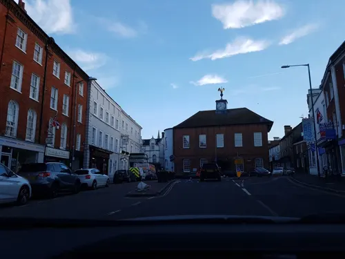

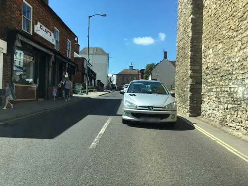
Meadow Row Tea Rooms
Cafe · Burger, Sandwich, Breakfast, Ice Cream, Tea, Cake, Coffee Shop, Bagel
5 Meadow Row, Buckingham
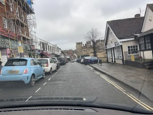

Louis'
Restaurant · Pizza, Mediterranean
53-54 Nelson Street, Buckingham
Tu-Th 12:00-22:30, Fr-Sa 12:00-23:00

24 more on the map.
History
Buckingham and the surrounding area has been settled for some time, with evidence of Roman settlement found in several sites close to the River Great Ouse; this included a temple south of the A421 at Bourton Grounds which was excavated in the 1960s and dated to the third century AD. A possible Roman building was identified at Castle Fields in the 19th century. Pottery, kiln furniture and areas of burning found at Buckingham industrial estate suggest it was the site of some early Roman pottery kilns.
In the seventh century, Buckingham (literally, "hemmed-in land of Bucca's people") is said to have been founded by Bucca, the leader of the first Anglo Saxon settlers. The first settlement was located around the top of a loop in the River Great Ouse, presently the Hunter Street campus of the University of Buckingham. Between the seventh and 11th centuries, the town of Buckingham regularly changed hands between the Saxons and the Danes; in particular, King Edward the Elder and a Saxon army encamped in Buckingham in 914 for four weeks, forcing local Danish Viking leaders to surrender. Subsequently, a fort was constructed at the location of the present Buckingham parish church.
Read more of the history
The town is the first settlement referred to in the Buckinghamshire section of the Domesday Book of 1086. It was referred to as Buckingham with Bourton and the survey makes reference to 26 burgesses, 11 smallholders and one mill.
The town received its charter in 1554, when Queen Mary created the free Borough of Buckingham with boundaries extending from Thornborowe Bridge (now Thornborough) to Dudley Bridge and from Chackmore Bridge to Padbury Mill Bridge. The designated borough included a bailiff, twelve principal burgesses and a steward. Yeomanry House, the offices and home of the commanding officer of the Buckinghamshire Yeomanry, was built in the early 19th century.
The town suffered a significant fire that raged through the town centre on 15 March 1725, with the result that many streets of the town were destroyed including Castle Street, Castle Hill and the north side of Market Hill. The result was 138 dwellings, out of a total of 387 in the town at that time, were consumed in the fire. The current Georgian architecture on these streets today is a consequence of the fire, but the immediate aftermath was difficult for the town. Collections were made in surrounding towns such as Aylesbury and Wendover to help those made homeless; by 1730, only a third of the homes had been rebuilt. Due to many buildings being considered to be of historic interest, a number of them have been granted listed building status; these include the Grade I listed Castle House on West Street, which dates back to the 15th century. Buckingham Town Hall, which is Grade II* listed, dates to the late 18th century.
The municipal borough had a population of 1,816 in 1841. The town was connected to the London and North Western Railway by the Buckinghamshire Railway in 1850; the service ended in 1964.
In 1971, Buckinghamshire County Council set up the Buckingham Development Company with other local councils, and undertook a significant project to grow the town and provide a bypass, mainly to the south and east of the historic town centre. The population rose from just over 5,000 to 9,309 in 1991.
The town is said to be the final resting place of St Rumbold (also known as Saint Rumwold).
From the History section of Buckingham on Wikipedia, under CC BY-SA 4.0.
More about Buckingham
Geography
The town is centred on the historic market place and contains many 18th-century buildings. There are three main roads crossing Buckingham, namely the A413, the A421 (the southern bypass) and the A422. Capability Brown's historic formal garden design at Stowe, on the A422 westbound, is an important attraction in the care of the National Trust.
There is a medieval well, known as St Rumbold's Well, on the south side of the dismantled railway which borders the town. The well, which is now dry for much of the year, was positioned to exploit the spring line below the crest of a north-facing slope overlooking the town.
Suburbs of Buckingham include Mount Pleasant, Page Hill, Bourton, Badgers, Linden Village, Castle Fields, Tingewick Road Estate and Lace Hill. Maids Moreton, a village on the north-eastern borders of the town has become contiguous with the Buckingham urban area. Nearby settlements include Winslow, Bicester, Brackley, Milton Keynes and Silverstone. Local villages in the immediate vicinity include Padbury and Gawcott to the south, Chackmore to the north and Shalstone to the north-west. It is also near to Stowe, the location of Stowe House, Stowe Gardens and Stowe School.
There is a degree confluence point on the edge of the town, at exactly 52°00′00″N 01°00′00″W.
Economy
The town is home to a number of industrial estates and technology parks housing high tech companies in the pharmaceutical, electronic, foods and composite materials fields, including Racelogic and Wipac.
Buckingham was home to the Thomas Rickett steam car, an innovative vehicle from 1860, though considered ahead of its time and only two are thought to have been made.
Most retail outlets are located in the town centre, with a variety of independent stores, cafes and restaurants, as well as national chains. The Hidden Quarter, located mainly in Well Street and Bridge Street, hosts a number of independent retailers. There are two banks in the town centre.
Buckingham's historic street market has been in the town for over 600 years; it dates from the Charters granted by Queen Mary in 1554 and Charles II in 1664, giving the markets a unique heritage.
Street markets are held every Tuesday and Saturday. Regular and casual market traders offer a wide variety of products, including fish, fruit, vegetables, award-winning bread, household goods, tools, flowers and clothes. There is a flea market held every Saturday on the site of the town's former cattle pens, offering a wide selection of antiques, collectables and jewellery.
Arts and culture
Buckingham Old Gaol is the town's museum which was established in 1993 in the historic town centre Old Gaol building. It also houses temporary exhibitions and the Tourist Information Centre.
The Chandos Cinema was in operation from 1934 and closed in 1987 but, in 2005, an independent community cinema opened in the university called the Film Place. Live music events are regularly held in the Radcliffe Centre.
A library is located in the town centre, operated by Buckinghamshire County Council. The town is home to numerous clubs and associations, including the Buckingham Society, a civic amenity society linked with Civic Voice, a large University of the Third Age (U3A) with over 900 members, and many music, photography and arts clubs.
The town holds an annual charter fair. It is held in October over two successive Saturdays starting on the first Saturday after the 11th of the month. During the 19th century it was called the Statute Fair. The public roasting of an ox, sheep and pig often took place at the same time.
Education
The town is home to the University of Buckingham, the oldest of the UK's six private universities. Like other UK universities, a large proportion of its students are from overseas.
The Buckinghamshire Council operates the Tripartite System of state secondary education. The local state secondary schools are the Royal Latin School (a grammar school) and the Buckingham School (a secondary modern). Stowe School and Akeley Wood School, just outside the town, are private schools.
There are four primary schools: one a community school and the other three academies, serving different areas of the town. Buckingham Primary School is the community primary and the three academies (Bourton Meadow Academy, George Grenville Academy and Lace Hill Academy) are all operated by Campfire Education Trust.
From the Wikipedia article Buckingham, under CC BY-SA 4.0.
Notable people from Buckingham
 George BaldockGreek-English footballer (1993-2024)Photo: @cfcunofficial (Chelsea Debs) London..., CC BY-SA 2.0
 Sam BaldockEnglish footballer (born 1989) 33 years oldPhoto: Egghead06, CC BY-SA 3.0
 Huw MerrimanBritish politician (born 1973)Photo: David Woolfall, CC BY 3.0
 Mary PixBritish writerPhoto: anonymous, Public domain
 Elsa DesmondIrish lugerPhoto: Steffen Prößdorf, CC BY-SA 4.0
 John TipperBritish speedskaterPhoto: Kroon, Ron / Anefo, CC BY-SA 3.0 nl
- Bernie MarsdenBritish guitarist (1951–2023)
- Holly JacksonBritish writer
- Paul AttwoodBritish bobsledder
- Gillian BlakeBritish actress
- Wyndham Hazeltoncricketer (1894-1958)
- Christopher HarrisEnglish cricketer (born 1942)
Born in Buckingham, according to Wikidata (CC0). Each name links to its Wikipedia article.
Where to stay3
Churches and places of worship8
Shopping8
Gas and EV charging5
Schools, colleges and libraries15
St James & St John Church of England Primary School
School · Anglican · 1.3 mi
Main Street, Buckingham
Healthcare3
Map of Buckingham
103 places. The map loads OpenStreetMap tiles when you open it.
Getting there and nearby towns
Oxford Airport (OXF) is the nearest airport with scheduled flights listed in OpenStreetMap, 18 miles away.
- Milton Keynes 10 mi east, about 17 min by car
- Newport Pagnell 13 mi northeast, about 21 min by car
- Thame 17 mi south, about 28 min by car
- Northampton 18 mi north, about 29 min by car
- Kidlington 18 mi southwest, about 29 min by car
- Daventry 19 mi north, about 31 min by car
- Tring 20 mi southeast, about 32 min by car
- Oxford 21 mi southwest, about 33 min by car
- Cowley 21 mi southwest, about 33 min by car
- Flitwick 21 mi east, about 34 min by car
Drive times are estimates from straight-line distance, not routes.
Towns near Buckingham


Keep exploring
Local news
Headlines from INDB.
Reviews, tips and questions
Loading what members have shared...
Sources and licences
- GeoNames (CC BY 4.0): population, coordinates, regions and time zone
- Mapillary (see each image): photos
- OpenStreetMap contributors (ODbL 1.0): places, airports, map data
- Wikidata (CC0 1.0): elevation, founding date, time zone, website, landmarks and historic places
- Wikimedia Commons (see each image): photos
- Wikipedia (CC BY-SA 4.0): overview and history text
Photo credits
- Buckingham, Cooltrainer Hugh at English Wikipedia, CC BY 3.0
- Hamptons International Sales Buckingham, Abbottscountrywide, CC BY-SA 4.0
- Hamptons International Lettings Buckingham, Hamptonsinternational, CC BY-SA 4.0
- Stowe House, Buckinghamshire, Martinvl, CC BY-SA 4.0
- Buckingham Sand Pit 3, Dudley Miles, CC BY-SA 4.0
- Biddlesden - Stowe - 20180908191705, Neoclassicist, CC BY-SA 4.0
- All Saints' Church, Hillesden 01, Andrewrabbott, CC BY-SA 4.0
- StBernardinesAisle, Jackbbyrne, CC BY-SA 4.0
- Buckingham PeterandPaulParishChurch08, Chris Nyborg, CC BY-SA 3.0
- Royal Latin School 1, Ninetyone, CC BY-SA 3.0
- Buckingham OldCountyGaol02, Chris Nyborg, CC BY-SA 3.0
- Maids Moreton Church, Vemcd at English Wikipedia, Public domain
- Buckingham KingsHead01, Chris Nyborg, CC BY-SA 3.0
- Manor House Buckingham 2014, Lilactree2014, CC BY-SA 3.0
- Street-level photo, fabing, CC BY-SA 4.0
- Street-level photo, southglos, CC BY-SA 4.0
- Street-level photo, timbucks, CC BY-SA 4.0
- Street-level photo, southglos, CC BY-SA 4.0
- Street-level photo, southglos, CC BY-SA 4.0
- Street-level photo, southglos, CC BY-SA 4.0
- Street-level photo, photomaps, CC BY-SA 4.0
- Street-level photo, alexanderar, CC BY-SA 4.0
- Street-level photo, southglos, CC BY-SA 4.0
- Street-level photo, photomaps, CC BY-SA 4.0
- Street-level photo, timbucks, CC BY-SA 4.0
- Street-level photo, timbucks, CC BY-SA 4.0
- Street-level photo, fabing, CC BY-SA 4.0
- Street-level photo, timbucks, CC BY-SA 4.0
- Street-level photo, alexanderar, CC BY-SA 4.0
- Street-level photo, fabing, CC BY-SA 4.0
- Street-level photo, southglos, CC BY-SA 4.0
- Street-level photo, alexanderar, CC BY-SA 4.0
- Street-level photo, fabing, CC BY-SA 4.0
- Street-level photo, southglos, CC BY-SA 4.0
- Street-level photo, fabing, CC BY-SA 4.0
- Street-level photo, southglos, CC BY-SA 4.0
- Street-level photo, southglos, CC BY-SA 4.0
- Street-level photo, timbucks, CC BY-SA 4.0
- Street-level photo, timbucks, CC BY-SA 4.0
- Street-level photo, alexanderar, CC BY-SA 4.0
- Street-level photo, timbucks, CC BY-SA 4.0


Page built November 10, 2026. Spotted a mistake? Tell us or suggest a place.