


Amersham on the Hill, United Kingdom
Amersham on the Hill is a town of 17,719 people in England, United Kingdom.
Why visit Amersham on the Hill
Townapedia lists 9 museums and landmarks, 11 parks and trails, 66 places to eat, 2 places to stay and 1 attraction in and around town.
Highlights include Amersham Museum, Milton's Cottage and Sands Bank.
Weather in Amersham on the Hill
Forecast from MET Norway (CC BY 4.0). Full forecast
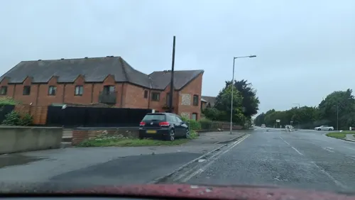
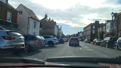
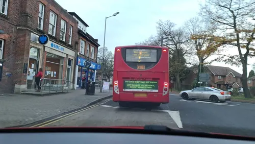
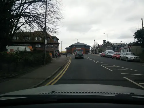
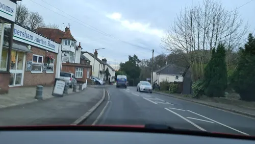
Photos of Amersham on the Hill


Things to do1

Museums and landmarks9

Amersham Museum
Museum · 0.7 mi
Private museum, local history in Buckinghamshire, England, United Kingdom
49 High Street, Amersham
We-Su 12:00-16:30; PH 12:00-16:30

Milton's Cottage
Museum · 3.4 mi
Grade I listed historic house museum in Chiltern, United Kingdom
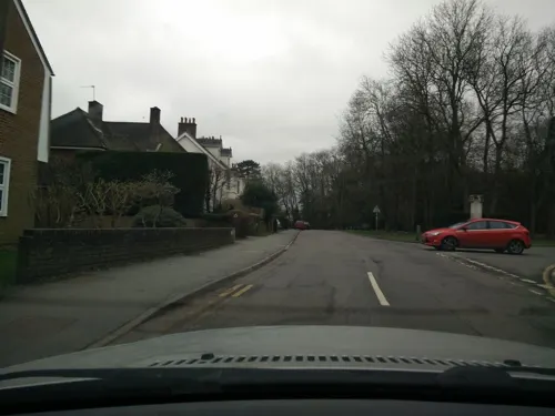
Chesham Bois war memorial
Monument and historic site · 0.6 mi
Dedicated in 1920, Grade II listed in 2014

Chenies Manor House
Museum · 3.2 mi
Grade I listed historic house museum in Chiltern, United Kingdom

Parks, trails and playgrounds11

Sands Bank
Park · 3.3 mi
Local nature reserve in Buckinghamshire, England



Restaurants and cafes66
Artichoke
Restaurant · French, Fine Dining · 0.7 mi
9 Market Square, Amersham
We-Th 12:00-14:00,18:45-20:45; Fr-Sa 12:00-14:00,19:00-21:00
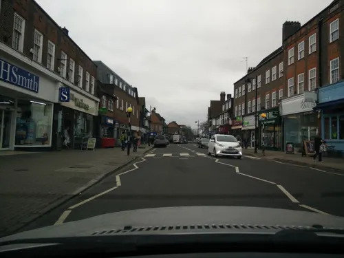
Caffè Nero
Cafe · Coffee Shop
55 Sycamore Road, Amersham
Mo-Fr 07:00-17:30; Sa 07:30-17:30; Su 08:00-17:00


Koko's Gourmet Food Trailer
Cafe · Coffee Shop, Sandwich, Ice Cream · 1.2 mi
Missendan Road, Amersham
Mo-Su 10:00-18:30

54 more on the map.
Where to stay2
Churches and places of worship13
Amersham High Street Methodist Church
Church · Methodist · 0.8 mi
High Street, Amersham
Shopping15
Gas and EV charging3
Schools, colleges and libraries16
Healthcare1
Map of Amersham on the Hill
137 places. The map loads OpenStreetMap tiles when you open it.
Getting there and nearby towns
Wycombe Air Park (HYC) is the nearest airport with scheduled flights listed in OpenStreetMap, 10 miles away.
- Amersham 1 mi southwest, about 1 min by car
- Chesham 2 mi north, about 3 min by car
- Chorleywood 4 mi east, about 7 min by car
- Beaconsfield 5 mi south, about 7 min by car
- Chalfont Saint Peter 5 mi southeast, about 8 min by car
- Rickmansworth 6 mi southeast, about 10 min by car
- Berkhamsted 6 mi north, about 10 min by car
- High Wycombe 7 mi southwest, about 11 min by car
- Gerrards Cross 7 mi south, about 10 min by car
- Croxley Green 7 mi southeast, about 12 min by car
Drive times are estimates from straight-line distance, not routes.
Towns near Amersham on the Hill


Keep exploring
Local news
Headlines from INDB.
Reviews, tips and questions
Loading what members have shared...
Sources and licences
- GeoNames (CC BY 4.0): population, coordinates, regions and time zone
- Mapillary (see each image): photos
- OpenStreetMap contributors (ODbL 1.0): places, airports, map data
- Wikidata (CC0 1.0): elevation, founding date, time zone, website, landmarks and historic places
- Wikimedia Commons (see each image): photos
Photo credits
- Amersham Museum, Jpbowen at English Wikipedia, CC BY-SA 3.0
- MiltonsCottage, MortimerCat, CC BY-SA 3.0
- St Mary's Church Chesham, Iridescent, CC BY-SA 3.0
- St Leonard's Church, Chesham Bois, Jon Mack, CC BY-SA 4.0
- The Griffin Hotel, 12 Broadway, Amersham, September 2021, No Swan So Fine, CC BY-SA 4.0
- Sands Bank 17, Dudley Miles, CC BY-SA 4.0
- GS13 at Amersham E, Oxyman, CC BY 2.5
- Amersham Station, TheJRB, CC BY-SA 2.0
- Heritage Bus at Amersham, TheJRB, CC BY-SA 2.0
- Amersham Station Close Up, TheJRB, CC BY-SA 2.0
- Preserved Routemaster bus RML2440 (JJD 440D), 2008 Amersham Heritage Open Day (5), Oxyman (original), CC BY 2.5
- GS13 and RML2440 at Amersham, Oxyman, CC BY 2.5
- London Transport bus GS13, Oxyman (original), CC BY 2.5
- British Rail mentioned at Amersham, R/DV/RS, CC BY 2.0
- London Transport bus GS13 (1), Oxyman (original), CC BY 2.5
- Hill Avenue Amersham, Oxyman, CC BY 2.5
- Street-level photo, alfa145, CC BY-SA 4.0
- Street-level photo, alexanderar, CC BY-SA 4.0
- Street-level photo, alexanderar, CC BY-SA 4.0
- Street-level photo, alfa145, CC BY-SA 4.0
- Street-level photo, alfa145, CC BY-SA 4.0
- Street-level photo, alexanderar, CC BY-SA 4.0
- Street-level photo, alfa145, CC BY-SA 4.0
- Street-level photo, alexanderar, CC BY-SA 4.0
- Street-level photo, alexanderar, CC BY-SA 4.0
- Street-level photo, alfa145, CC BY-SA 4.0
- Street-level photo, alfa145, CC BY-SA 4.0
- Street-level photo, alexanderar, CC BY-SA 4.0
- Street-level photo, alfa145, CC BY-SA 4.0
- Street-level photo, alexanderar, CC BY-SA 4.0
- Street-level photo, alfa145, CC BY-SA 4.0
- Street-level photo, alexanderar, CC BY-SA 4.0
- Street-level photo, alfa145, CC BY-SA 4.0
- Street-level photo, alfa145, CC BY-SA 4.0
- Street-level photo, alfa145, CC BY-SA 4.0
- Street-level photo, alfa145, CC BY-SA 4.0
- Street-level photo, alfa145, CC BY-SA 4.0
- Street-level photo, alfa145, CC BY-SA 4.0
- Street-level photo, alexanderar, CC BY-SA 4.0
- Street-level photo, alfa145, CC BY-SA 4.0
- Street-level photo, alfa145, CC BY-SA 4.0
- Street-level photo, endszbrxns, CC BY-SA 4.0
- Street-level photo, alexanderar, CC BY-SA 4.0
- Street-level photo, alfa145, CC BY-SA 4.0


Page built November 10, 2026. Spotted a mistake? Tell us or suggest a place.