


Chalfont Saint Peter, United Kingdom
Chalfont Saint Peter is a town of 20,059 people in England, United Kingdom.
Why visit Chalfont Saint Peter
Townapedia lists 5 museums and landmarks, 9 parks and trails, 46 places to eat, 5 places to stay and 2 attractions in and around town.
Highlights include Everyman, The Chalfont Viaduct, Chiltern Open Air Museum and Gerrards Cross Memorial Building.
Weather in Chalfont Saint Peter
Forecast from MET Norway (CC BY 4.0). Full forecast
About Chalfont Saint Peter
Chalfont St Peter is a large village and civil parish in southeastern Buckinghamshire, England. It is in a group of villages called The Chalfonts which also includes Chalfont St Giles and Little Chalfont. The villages lie between High Wycombe and Rickmansworth. Chalfont St Peter is one of the largest villages, with nearly 13,000 residents.
From the Wikipedia article Chalfont St Peter (this version), under CC BY-SA 4.0.
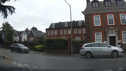
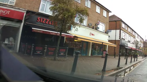
Photos of Chalfont Saint Peter

Things to do2


The Chalfont Viaduct
Bridge · 2.1 mi
Railway viaduct in south-east England, built in 1906
Museums and landmarks5

Chiltern Open Air Museum
Museum · 2.0 mi
Museum in the Chiltern Hills, United Kingdom

Gerrards Cross Memorial Building
Monument and historic site · 1.8 mi
Community centre and First World War memorial in Gerrards Cross in Buckinghamshire, England, UK

Milton's Cottage
Museum · 1.6 mi
Grade I listed historic house museum in Chiltern, United Kingdom

Parks, trails and playgrounds9


Northmoor Hill Wood
Park · 2.3 mi
Local nature reserve in Buckinghamshire, England

Bulstrode Park
Park · 1.9 mi
Grade II* listed park and garden in Buckinghamshire, England, UK

Restaurants and cafes46
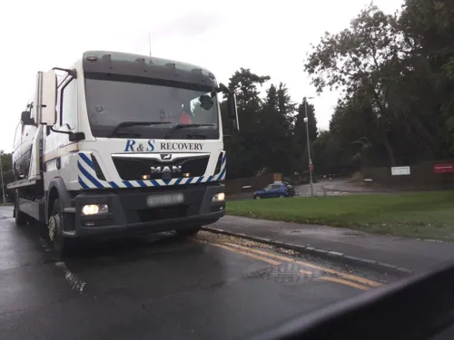
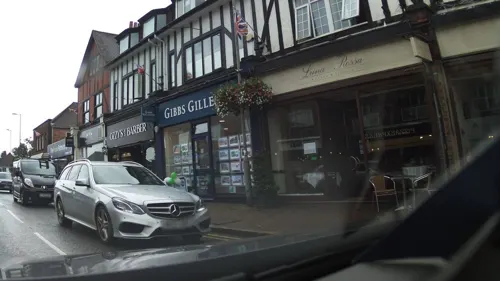
Caffè Nero
Cafe · Coffee Shop · 1.5 mi
53, Gerrards Cross
Mo-Fr 06:45-18:00; Sa 07:00-18:00; Su 07:30-17:00
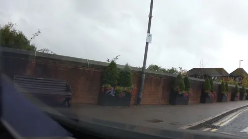
Lomito
Restaurant · 1.4 mi
55 Packhorse Road, Gerrards Cross
Tu-Th 17:00-22:00; Mo 18:00-22:00; Fr 17:00-22:30; Sa 16:00-22:30;...
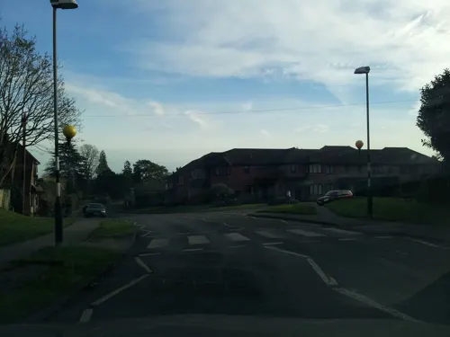
The Jolly Farmer
Bar and pub · 0.6 mi
Gold Hill West, Gerrards Cross
Mo-Sa 11:00-23:00; Su 12:00-22:00
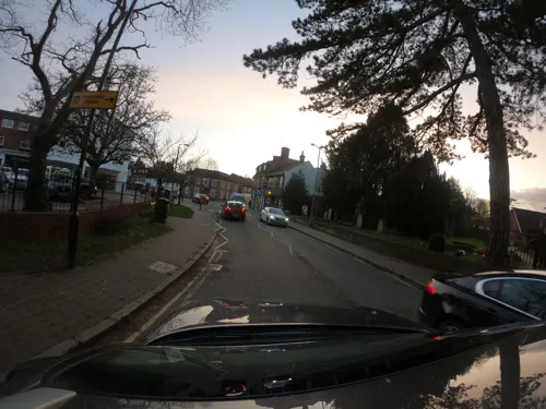
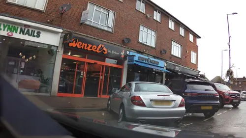
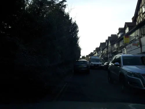
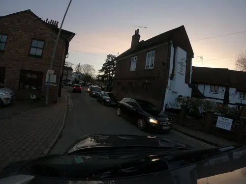

Costa
Cafe · Coffee Shop
High Street, Gerrards Cross
Mo,PH 06:30-18:00; Tu-Fr 06:30-18:00; Sa 07:30-17:00; Su 08:00-16:00

34 more on the map.
History
At the time of the Anglo-Saxon Chronicle in 949 there was no distinction made between the three separate villages: the whole area was known as Ceadeles funtan, meaning chalk springs. The villages were however separated by 1237 when in manorial rolls Chalfont St Peter was referred to as Chalfund Sancti Petri. The suffix St Peter is taken from the dedication of the church in the village.
Chalfont St Peter was described in 1806 in Magna Britannia as follows:
"Chalfont St Peter, in the hundred and deanery of Burnham, lies about five miles from Amersham, on the road to London, and nearly six miles from Uxbridge in Middlesex. The manor, which belonged to Missenden Abbey, was granted in 1536 to Robert Drury, esquire, whose descendants sold it in 1626 to the Bulstrodes: in 1646 it was conveyed to Thomas Gower esq. of whom, in 1650, it was purchased by Mr. Richard Whitchurch, ancestor of Mrs. Anne Whitchurch, the present proprietor.
Read more of the history
"An ancient manor in this parish takes its name from the family of Brudenell, (collateral ancestors of the Earl of Cardigan), who formerly possessed it; from them it descended by female heirs to the Drurys and Osbornes. It afterwards came into the Duke of Portland's family, of whom it was purchased by Charles Churchill esq. the late proprietor; it is now the property of Thomas Hibbert esq. Mr. Hibbert's seat, which is called Chalfont-house, was a distinct property; and before it came into Mr. Churchill's hands, was in the families of Wilkins and Selman.
"Newlands, in this parish, the seat of Sir Henry Thomas Gott, was purchased by its present possessor about the year 1770, of Mr. Croke of Beaconsfield: it had been formerly in the family of Saunders, and was sold by Sir John Saunders to Mr. Hopkins, of whom it was purchased by Mr. Croke.
"In the church are memorials for the family of Whitchurch. The advowson and impropriation which belonged formerly to Missenden abbey, and afterwards to the Drurys, was given by Sir Thomas Allen to the president and scholars of St. John's college in Oxford, who present the vicar and grant him a lease of the great tithes.
"The Earl of Portland built a school at Gerrard's Cross, in this parish, adjoining the road from London to High Wycombe. It has no endowment, but has always been supported by the Portland family: the duke appoints the master, and allows him a salary for teaching a number of boys of this and some of the neighbouring parishes.
"William Courtnay, who died in 1770, gave a loaf of bread weekly to each of eleven unmarried poor women of this parish, and one to the clerk."
Today, Chalfont St Peter is one of the largest villages in the United Kingdom partly due to the proximity to Gerrards Cross railway station which lies between London Marylebone and Birmingham Snow Hill on the Chiltern Main Line. Modern buildings and urbanisation now dominate the village centre and very little historic architecture remains. The first major development of the village were rows of Georgian shops (some of which still remain). Much larger developments came in the late 1920s and these shops that run up the main street towards Gold Hill common now comprise most of the village centre. Modernisation and urbanisation continued up until the 1960s when most of the Georgian shops were demolished in favour of a concrete development of flats, offices and shops fronts surrounding a central car park.
From the History section of Chalfont St Peter on Wikipedia, under CC BY-SA 4.0.
More about Chalfont Saint Peter
Education
Robertswood School – a co-educational State School for boys and girls 3–11.
Maltman's Green School – Independent school for girls aged 3–11.
Chalfont St Peter Infant School and Nursery – a co-educational infant school for children aged 3–7 years old.
Chalfont St. Peter Church of England Academy – a co-educational junior school for ages 7–11.
Gayhurst – A co-educational independent school for children age 3–11.
Thorpe House – An independent boys school for ages 4–11, and a co-educational sixth form called Thorpe Sixth for ages 16–18.
St. Joseph's Catholic Primary School – a co-educational Catholic school for ages 3–11.
Chalfonts Community College – a co-educational secondary academy school for ages 11–18.
From the Wikipedia article Chalfont St Peter, under CC BY-SA 4.0.
Notable people from Chalfont Saint Peter
 David William MitchellEnglish zoologist and illustrator (1813-1859)Photo: Print made by: Thomas Herbert..., Public domain
- Patrick O'BrianEnglish novelist (1914–2000)
- Richard WaringEnglish-born American actor (1911-1993)
- Len WorleyEnglish footballer (born 1937)
- John HibbertEnglish cricketer and banker
- Peter John StephensBritish writer (1912–2002)
Born in Chalfont Saint Peter, according to Wikidata (CC0). Each name links to its Wikipedia article.
Where to stay5
Churches and places of worship7
All Saints' Church - Chalfont St Peter Parish
Church · Anglican · 0.9 mi
42 Oval Way, Gerrards Cross
Shopping9
Gas and EV charging3
Schools, colleges and libraries11
Healthcare4
Map of Chalfont Saint Peter
101 places. The map loads OpenStreetMap tiles when you open it.
Getting there and nearby towns
RAF Northolt (NHT) is the nearest airport with scheduled flights listed in OpenStreetMap, 7 miles away.
- Chorleywood 4 mi northeast, about 6 min by car
- Rickmansworth 4 mi northeast, about 6 min by car
- Croxley Green 5 mi east, about 8 min by car
- Northwood 6 mi east, about 9 min by car
- Ickenham 6 mi southeast, about 9 min by car
- Ruislip 6 mi southeast, about 10 min by car
- Slough 7 mi south, about 11 min by car
- Chesham 7 mi north, about 11 min by car
- Hillingdon 7 mi southeast, about 11 min by car
- Watford 8 mi northeast, about 12 min by car
Drive times are estimates from straight-line distance, not routes.
Towns near Chalfont Saint Peter


Keep exploring
Local news
Headlines from INDB.
Reviews, tips and questions
Loading what members have shared...
Sources and licences
- GeoNames (CC BY 4.0): population, coordinates, regions and time zone
- Mapillary (see each image): photos
- OpenStreetMap contributors (ODbL 1.0): places, airports, map data
- Wikidata (CC0 1.0): elevation, founding date, time zone, website, landmarks and historic places
- Wikimedia Commons (see each image): photos
- Wikipedia (CC BY-SA 4.0): overview and history text
Photo credits
- Chiltern Open Air Museum Henton Mission, Dorothea Witter-Rieder, Public domain
- Gerrards Cross Memorial Building (9), Harry Mitchell, CC BY 4.0
- MiltonsCottage, MortimerCat, CC BY-SA 3.0
- Northmoor Hill Wood chalk quarry 4, Dudley Miles, CC BY-SA 4.0
- Everyman Gerrards Cross, The seeker123, CC BY-SA 3.0
- Long Grove Wood 1, Dudley Miles, CC BY-SA 4.0
- Chalford St Peter south face GeoUK 5072543, Basher Eyre, CC BY-SA 2.0
- Chalfont Viaduct - Give Helch a Break, Cnbrb, CC0
- Street-level photo, southglos, CC BY-SA 4.0
- Street-level photo, southglos, CC BY-SA 4.0
- Street-level photo, southglos, CC BY-SA 4.0
- Street-level photo, adam2, CC BY-SA 4.0
- Street-level photo, southglos, CC BY-SA 4.0
- Street-level photo, asturksever, CC BY-SA 4.0
- Street-level photo, adam2, CC BY-SA 4.0
- Street-level photo, asturksever, CC BY-SA 4.0
- Street-level photo, asturksever, CC BY-SA 4.0
- Street-level photo, adam2, CC BY-SA 4.0
- Street-level photo, adam2, CC BY-SA 4.0
- Street-level photo, southglos, CC BY-SA 4.0
- Street-level photo, southglos, CC BY-SA 4.0
- Street-level photo, southglos, CC BY-SA 4.0
- Street-level photo, asturksever, CC BY-SA 4.0
- Street-level photo, asturksever, CC BY-SA 4.0
- Street-level photo, adam2, CC BY-SA 4.0
- Street-level photo, southglos, CC BY-SA 4.0
- Street-level photo, adam2, CC BY-SA 4.0
- Street-level photo, southglos, CC BY-SA 4.0
- Street-level photo, southglos, CC BY-SA 4.0
- Street-level photo, adam2, CC BY-SA 4.0
- Street-level photo, southglos, CC BY-SA 4.0
Page built November 10, 2026. Spotted a mistake? Tell us or suggest a place.