


Ardersier, United Kingdom
Ardersier is a town of 1,110 people in Scotland, United Kingdom.
Why visit Ardersier
Townapedia lists 7 museums and landmarks, 3 places to eat, 1 place to stay and 3 attractions in and around town.
Highlights include Chanonry Point Lighthouse, Groam House Museum and Ardersier War Memorial.
Weather in Ardersier
Forecast from MET Norway (CC BY 4.0). Full forecast
About Ardersier
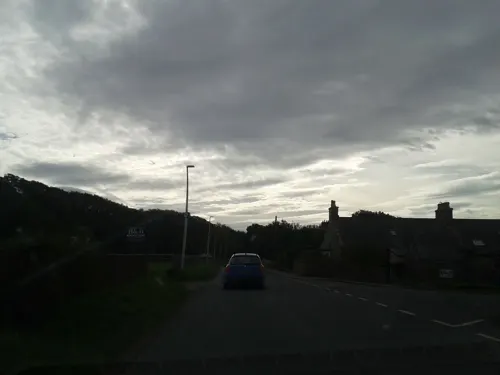
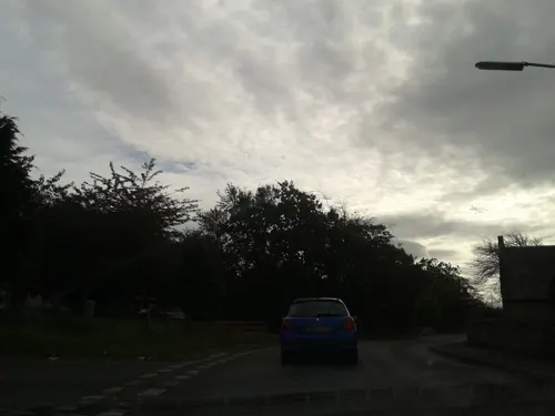
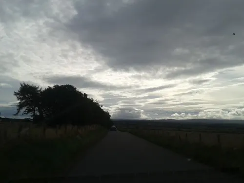
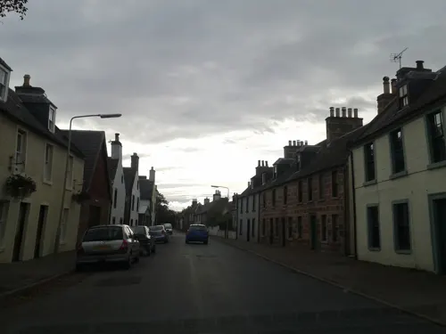
Ardersier (Scottish Gaelic: Àird nan Saor) is a small former fishing village in the Scottish Highlands on the Moray Firth near Fort George, between Inverness and Nairn. Its name may be an anglicisation of the Gaelic "Àird nan Saor", or "Headland of the joiners", one local legend being that carpenters working on the construction of ecclesiastical buildings on the other side of the Moray Firth were quartered here.. however, the name Ardersier is documented centuries before the Cathedrals of Fortrose and Elgin were built, and it is more likely that the name signifies its topography - a high prominence (New Statistical Account).
From the Wikipedia article Ardersier (this version), under CC BY-SA 4.0.
Photos of Ardersier

Things to do3

Chanonry Point Lighthouse
Lighthouse · 2.1 mi
Lighthouse in Highland, Scotland, UK

Museums and landmarks7

Groam House Museum
Museum · 3.3 mi
Museum in Highland, Scotland, United Kingdom

Restaurants and cafes3
Where to stay1
History
Parts of the land in and about Ardersier were originally owned by the order of the Knights Templar. These lands were referred to as: Temple Land, Temple Cruik, Temple Bank, Bogschand. They were located between Connage and the sea, and between Flemington and the sea. The Temple lands of Ardersier were held by Davidsons and Mackays as portioners. They were acquired by Cawdor in 1626.
A charter granted at Nairn refers to the locus trialis at Ardersier, and according to the historian George Bain, this may have been an ancient place of trial by wager of battle.
Read more of the history
Church lands of Ardersier owned by the Bishop of Ross and Delnies had passed into the hands of the Leslies of Ardersier, and they sold them on to Cawdor in the year 1574, "having consideration of the great and intolerable damage, injury, and skaith done to them by Lachlan Mackintosh and others of the Clan Chattan, in harrying, destroying, and making hardships upon the said hail lands of Ardersier and fishings thereof," and no apparent hope of reparation for the "customary enormities of the said Clan Chattan." It is charged against the Mackintoshes that they depauperised the tenants, debarred them from fishing at the stell of Ardersier, breaking their boats and cutting their nets. The Laird of Cawdor was not allowed to have peaceable possession, and he raised an action against Lachlan Mackintosh and his clansmen for the slaughter of several of his servants and tenants. In 1581, Lachlan renounced all claim to the Ardersier lands and to Wester and Easter Delnies, and the legal proceedings were dropped.
After the Jacobite rising of 1745, there was a fear of further French-supported risings, especially of the possibility of a naval assault quickly landing a large number of rebels. The fort provided the facility to house an increased number of soldiers (compared to the original Fort George built in Inverness in 1727) and its position on the coast both guarded the Firth at its narrowest point, and allowed for supplies to be brought in by sea in the event of a land siege.
The requirement for the fort to be built opposite Chanonry Point where the firth narrowed considerably, meant that the population of a small fishing hamlet at the Ness had to resettle about one mile (1.5 kilometres) away on the shores of the Moray Firth. Here were founded two different communities, separated by land ownership. The narrow strip of land along the shore, on which Stewart-town was built belonged to the Earl of Moray and fell within the parish of Petty. Literally across the road, the householders of Campbell-town rented their feus from the Earl of Cawdor, a Campbell. Collectively these two settlements were later referred to by the parish name, as Ardersier, but it was not officially known as such until the late 1970s, thus presenting confusion on postal deliveries to the other Campbeltown in Argyll.
The Annual Reports of the Fishery Board for Scotland provide an insight into the fishing in Arderseir in the years before the First World War. The report for 1900 relates that "the fishermen are principally engaged at the white-fishing. Five large boats were fitted out for the prosecution of the herring fishing on the East and West Coasts of Scotland. Some of the crews were fairly successful." By 1913 we learn that the majority of the fishermen were employed at herring fishing at the principal stations.
From the History section of Ardersier on Wikipedia, under CC BY-SA 4.0.
Notable people from Ardersier
- Herbert Taylor MacPhersonBritish general and recipient of the Victoria Cross (1827–1886)
- Pryse Lockhart GordonScottish writer
Born in Ardersier, according to Wikidata (CC0). Each name links to its Wikipedia article.
Shopping1
Schools, colleges and libraries1
Map of Ardersier
16 places. The map loads OpenStreetMap tiles when you open it.
Getting there and nearby towns
Inverness Airport (INV) is the nearest airport with scheduled flights listed in OpenStreetMap, 2 miles away.
- Fortrose 4 mi west, about 6 min by car
- Nairn 6 mi east, about 10 min by car
- Inverness 9 mi southwest, about 15 min by car
- North Kessock 9 mi southwest, about 14 min by car
- Evanton 13 mi northwest, about 21 min by car
- Beauly 17 mi west, about 27 min by car
- Strathpeffer 19 mi west, about 30 min by car
- Dornoch 22 mi north, about 35 min by car
- Drumnadrochit 23 mi southwest, about 37 min by car
- Elgin 27 mi east, about 44 min by car
Drive times are estimates from straight-line distance, not routes.
Towns near Ardersier


Keep exploring
Local news
Headlines from INDB.
Reviews, tips and questions
Loading what members have shared...
Sources and licences
- GeoNames (CC BY 4.0): population, coordinates, regions and time zone
- Mapillary (see each image): photos
- OpenStreetMap contributors (ODbL 1.0): places, airports, map data
- Wikidata (CC0 1.0): elevation, founding date, time zone, website, landmarks and historic places
- Wikimedia Commons (see each image): photos
- Wikipedia (CC BY-SA 4.0): overview and history text
Photo credits
- Ardersier 2019, Braveheart, CC BY-SA 4.0
- Ardersier, UK - panoramio - nmdl04669, nmdl04669, CC BY-SA 3.0
- Ardersier, UK - panoramio, nmdl04669, CC BY-SA 3.0
- Ardersier scotland coast, Oyoyoy, CC BY-SA 3.0
- Chanonry Point-Lighthouse-A, Vcarceler, CC BY-SA 3.0
- Groam House Museum exterior, Groam House Museum, CC BY-SA 4.0
- Fortrose general view, Oyoyoy, CC BY-SA 3.0
- Street-level photo, rudolfmayer, CC BY-SA 4.0
- Street-level photo, rudolfmayer, CC BY-SA 4.0
- Street-level photo, rudolfmayer, CC BY-SA 4.0
- Street-level photo, rudolfmayer, CC BY-SA 4.0
- Street-level photo, rudolfmayer, CC BY-SA 4.0
- Street-level photo, rudolfmayer, CC BY-SA 4.0
- Street-level photo, rudolfmayer, CC BY-SA 4.0
- Street-level photo, rudolfmayer, CC BY-SA 4.0
- Street-level photo, rudolfmayer, CC BY-SA 4.0
- Street-level photo, rudolfmayer, CC BY-SA 4.0
Page built November 10, 2026. Spotted a mistake? Tell us or suggest a place.