


Fortrose, United Kingdom
Fortrose is a town of 1,400 people in Scotland, United Kingdom, founded in 1444.
Why visit Fortrose
Townapedia lists 8 museums and landmarks, 6 parks and trails, 11 places to eat, 2 places to stay and 3 attractions in and around town.
Highlights include Chanonry Point Lighthouse, Chanonry Lighthouse, Fortrose Cathedral and Groam House Museum.
Weather in Fortrose
Forecast from MET Norway (CC BY 4.0). Full forecast
About Fortrose
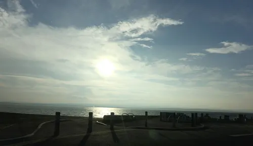
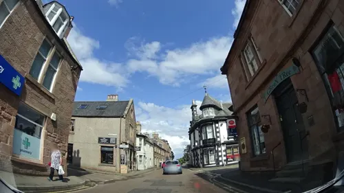
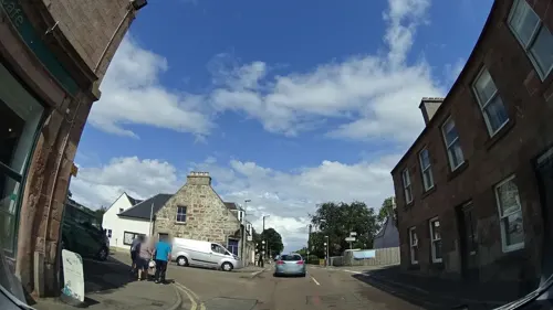
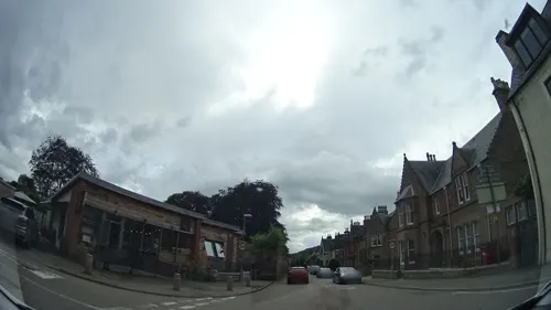
Fortrose is a town and former royal burgh on the Black Isle in the Highland council area of Scotland, about six miles (ten kilometres) northeast of Inverness. The town is known for its ruined 13th-century cathedral, and as the home of the Brahan Seer. Chanonry Point, a nearby headland projecting into the Moray Firth, is a popular location for dolphin spotting.
From the Wikipedia article Fortrose (this version), under CC BY-SA 4.0.
Things to do3

Chanonry Point Lighthouse
Lighthouse · 1.6 mi
Lighthouse in Highland, Scotland, UK

Museums and landmarks8

Fortrose Cathedral
Monument and historic site
Church in Highland, Scotland, UK
Apr 01-Sep 30 09:30-17:30; Oct 01-Mar 31 10:00-16:00; Dec 25-26...

Groam House Museum
Museum · 1.0 mi
Museum in Highland, Scotland, United Kingdom
Mo, Tu 13:00-16:00; We-Su 10:30-16:00


Parks, trails and playgrounds6





Restaurants and cafes11
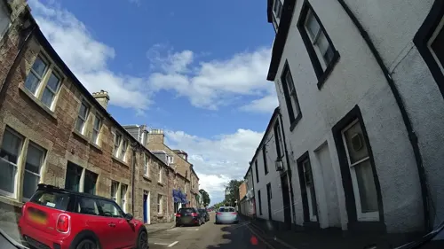
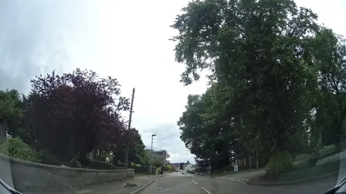
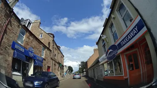
Cromarty Bakery Shop
Bakery
49 High Street
Mo-Fr 08:00-16:00; Sa 08:00-15:00; Su off
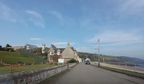

Rosemarkie Bay Beach Cafe
Cafe · Coffee Shop · 1.1 mi
A social enterprise cafe run by Rosemarkie Amenities Association set in a nice green field right beside a sandy beach.
Mill Road
Apr-Oct Mo-Su 10:30-15:30; Nov-Mar Sa,Su 10:30-15:30

History
Archaeological investigations, by Headland Archaeology, in 2013, as part of a planning condition for the creation of a housing development found domestic activity dating from the Neolithic to the Early Bronze Age. There was evidence of cereal production and the gathering of wild resources. The archaeologists also found that funerary practices change on the peninsula during that time from stone cist burials to cremation burials.
In the Middle Ages it was the seat of the bishopric of Ross, and formerly called Chanonry, for being the Chanory of Ross. Fortrose owes its origins to the decision by Bishop Robert in the 13th century to build a new Cathedral of Ross there. This was to replace the Church of St Peter in nearby Rosemarkie. The cathedral was largely demolished in the mid-seventeenth century by Oliver Cromwell to provide building materials for a citadel at Inverness. The vaulted south aisle, with bell-tower, and a detached chapter house (used as the tollbooth of Fortrose after the Reformation) remain. These fragments, though modest in scale, display considerable architectural refinement, and are in the care of Historic Scotland (no entrance charge).
Read more of the history
Fortrose was a parliamentary burgh, combined with Inverness, Forres and Nairn, in the Inverness Burghs constituency of the House of Commons of the Parliament of Great Britain from 1708 to 1801 and of the Parliament of the United Kingdom from 1801 to 1918. The constituency was abolished in 1918 and the Fortrose component was merged into the then new constituency of Ross and Cromarty.
From the History section of Fortrose on Wikipedia, under CC BY-SA 4.0.
Notable people from Fortrose
- John AndersonScottish acting governor of New Jersey
- Alasdair Macintosh Geddesemeritus Professor of Infection at Birmingham
Born in Fortrose, according to Wikidata (CC0). Each name links to its Wikipedia article.
Where to stay2
Churches and places of worship5
Shopping2
Schools, colleges and libraries1
Healthcare1
Map of Fortrose
39 places. The map loads OpenStreetMap tiles when you open it.
Getting there and nearby towns
Inverness Airport (INV) is the nearest airport with scheduled flights listed in OpenStreetMap, 4 miles away.
- North Kessock 7 mi southwest, about 11 min by car
- Inverness 8 mi southwest, about 13 min by car
- Nairn 9 mi east, about 15 min by car
- Strathpeffer 15 mi west, about 24 min by car
- Golspie 28 mi north, about 45 min by car
- Elgin 31 mi east, about 49 min by car
- Kingussie 35 mi south, about 56 min by car
- Rothes 35 mi east, about 56 min by car
- Newtonmore 36 mi south, about 57 min by car
- Ullapool 44 mi northwest, about 1 h 15 min by car
Drive times are estimates from straight-line distance, not routes.
Towns near Fortrose


Keep exploring
Local news
Headlines from INDB.
Reviews, tips and questions
Loading what members have shared...
Sources and licences
- GeoNames (CC BY 4.0): population, coordinates, regions and time zone
- Mapillary (see each image): photos
- OpenStreetMap contributors (ODbL 1.0): places, airports, map data
- Wikidata (CC0 1.0): elevation, founding date, time zone, website, landmarks and historic places
- Wikimedia Commons (see each image): photos
- Wikipedia (CC BY-SA 4.0): overview and history text
Photo credits
- Fortrose Cathedral Ross & Cromarty - Black Isle - Scotland, dave conner, CC BY 2.0
- Fortrose Cathedral west 2013, DeFacto, CC BY-SA 4.0
- Fortrose Cathedral - 51893008254, itmpa, CC BY-SA 2.0
- Fortrose Cathedral - 51892760148, itmpa, CC BY-SA 2.0
- Fortrose Cathedral, Christmas Eve Carols, 2025, Lirazelf, CC BY-SA 4.0
- Fortrose Cathedral Christmas Carol Singing, 2024, Lirazelf, CC BY-SA 4.0
- Fortrose Cathedral 20080430 01, Otter, CC BY-SA 3.0
- Groam House Museum exterior, Groam House Museum, CC BY-SA 4.0
- Fairy Glen, Rosemarkie, Pampuco, CC BY-SA 4.0
- Chanonry Point-Lighthouse-A, Vcarceler, CC BY-SA 3.0
- Street-level photo, panieravide, CC BY-SA 4.0
- Street-level photo, panieravide, CC BY-SA 4.0
- Street-level photo, panieravide, CC BY-SA 4.0
- Street-level photo, panieravide, CC BY-SA 4.0
- Street-level photo, hobgoblin, CC BY-SA 4.0
- Street-level photo, panieravide, CC BY-SA 4.0
- Street-level photo, panieravide, CC BY-SA 4.0
- Street-level photo, panieravide, CC BY-SA 4.0
- Street-level photo, hobgoblin, CC BY-SA 4.0
- Street-level photo, hobgoblin, CC BY-SA 4.0
- Street-level photo, hobgoblin, CC BY-SA 4.0
- Street-level photo, hobgoblin, CC BY-SA 4.0
- Street-level photo, hobgoblin, CC BY-SA 4.0
- Street-level photo, hobgoblin, CC BY-SA 4.0
- Street-level photo, panieravide, CC BY-SA 4.0
- Street-level photo, panieravide, CC BY-SA 4.0
- Street-level photo, panieravide, CC BY-SA 4.0
- Street-level photo, panieravide, CC BY-SA 4.0
- Street-level photo, panieravide, CC BY-SA 4.0
Page built November 10, 2026. Spotted a mistake? Tell us or suggest a place.