


Ardrishaig, United Kingdom
Ardrishaig is a town of 1,320 people in Scotland, United Kingdom.
Why visit Ardrishaig
Townapedia lists 7 museums and landmarks, 1 park or trail, 4 places to eat, 5 places to stay and 1 attraction in and around town.
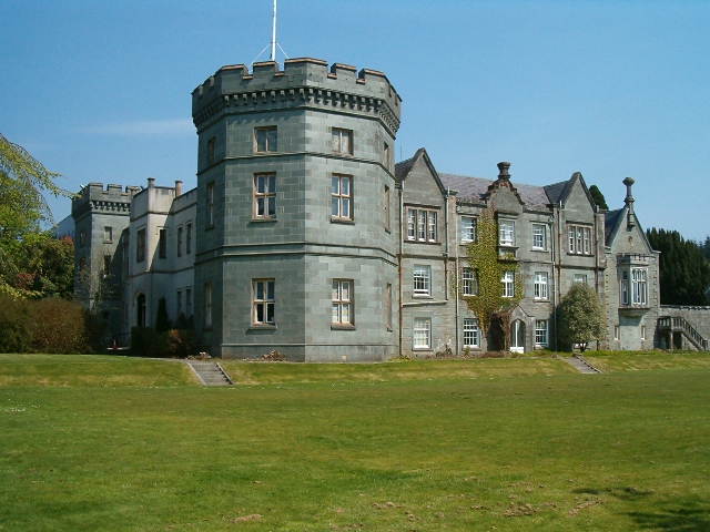
Highlights include Clock Lodge and Kilmory Castle.
Weather in Ardrishaig
Forecast from MET Norway (CC BY 4.0). Full forecast
About Ardrishaig
Ardrishaig (Scottish Gaelic: Àird Driseig) is a coastal village on Loch Gilp, at the southern (eastern) entrance to the Crinan Canal in Argyll and Bute in the west of Scotland. It lies immediately to the south of Lochgilphead, with the nearest larger town being Oban.
From the Wikipedia article Ardrishaig (this version), under CC BY-SA 4.0.
Things to do1

Museums and landmarks7

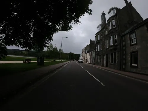

Parks, trails and playgrounds1
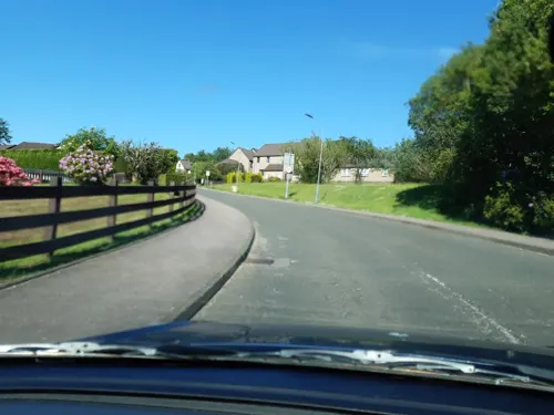
Restaurants and cafes4
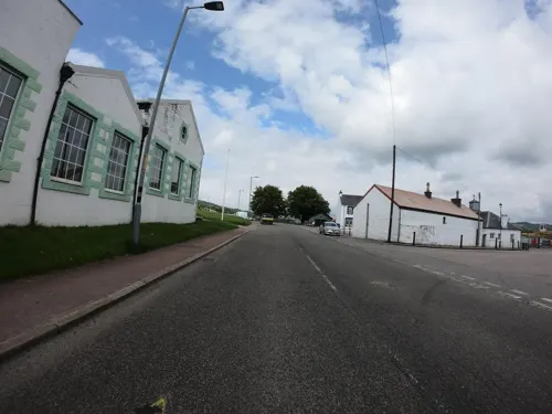
Lucy's at the Steamer Terminal
Restaurant
Pier Square
Th-Sa 12:00-16:00, Su 10:00-16:00 open "bakery and restaurant";...
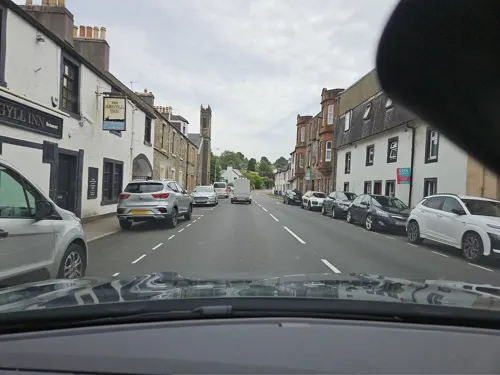

History
Àird Driseig or Rubha Àird Driseig, the Scottish Gaelic versions of the name, mean "height of the small bramble" or "promontory of the small bramble".
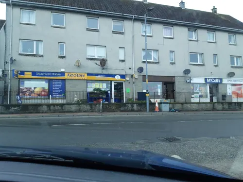
In the 1970s, the village was significantly altered when a row of old houses and shops on the lochside of the main street was demolished to make way for a car park. Most trading now takes place in the neighbouring town Lochgilphead.
The village was a filming location for the television series A Mug's Game.
From the History section of Ardrishaig on Wikipedia, under CC BY-SA 4.0.
More about Ardrishaig
Geography
Ardrishaig lies on the side of a hill (the Cruach nam Bonnach face of Cruach Breacain) bordering the west side of Loch Gilp, just north of where it joins Loch Fyne. The linear settlement stretches southwards along the A83 (Chalmers Street) from around 0.6 kilometres (0.4 miles) south of the junction with the A816, on the southwest side of Lochgilphead. The Crinan Canal runs north–south through Ardrishaig, with locks and a basin at its southern terminus.
Ardrishaig Community Council is part-owner of the wind farm at Allt Dearg on the hill above Inverneill to the south of the town.
Education
Ardrishaig Primary School is located in the village, and serves the area between Erins and Millers Bridge. The present building dates from 1986. For secondary education, the village falls within the catchment area of Lochgilphead Joint Campus.
From the Wikipedia article Ardrishaig, under CC BY-SA 4.0.
Notable people from Ardrishaig
 Ina M. Sheldon-WilliamsBritish artist (1876–1955)Photo: Unknown author Unknown author, Public domain
- James ChalmersScottish-born missionary and botanical collector (1841–1901)
- Dugald MacIsaacScottish chess player
Born in Ardrishaig, according to Wikidata (CC0). Each name links to its Wikipedia article.
Where to stay5
Gas and EV charging1
Schools, colleges and libraries4
Map of Ardrishaig
23 places. The map loads OpenStreetMap tiles when you open it.
Getting there and nearby towns
Oban Airport (OBN) is the nearest airport with scheduled flights listed in OpenStreetMap, 31 miles away.
- Tarbert 11 mi south, about 17 min by car
- Port Bannatyne 18 mi southeast, about 30 min by car
- Sandbank 19 mi east, about 31 min by car
- Kilcreggan 24 mi east, about 39 min by car
- Gourock 25 mi east, about 40 min by car
- Rosneath 25 mi east, about 40 min by car
- Greenock 27 mi east, about 43 min by car
- Largs 27 mi southeast, about 44 min by car
- Helensburgh 28 mi east, about 45 min by car
- Port Glasgow 30 mi east, about 48 min by car
Drive times are estimates from straight-line distance, not routes.
Towns near Ardrishaig


Keep exploring
Local news
Headlines from INDB.
Reviews, tips and questions
Loading what members have shared...
Sources and licences
- GeoNames (CC BY 4.0): population, coordinates, regions and time zone
- Mapillary (see each image): photos
- OpenStreetMap contributors (ODbL 1.0): places, airports, map data
- Wikidata (CC0 1.0): elevation, founding date, time zone, website
- Wikimedia Commons (see each image): photos
- Wikipedia (CC BY-SA 4.0): overview and history text
Photo credits
- Ardrishaig Chalmers St, RobNS at English Wikipedia, Public domain
- KilmoryCastle(PatrickMackie)May2006, Patrick Mackie, CC BY-SA 2.0
- Lock No3 (14378542318), Tom Parnell from Scottish Borders, Scotland, CC BY-SA 2.0
- Street-level photo, joostjakob, CC BY-SA 4.0
- Street-level photo, joostjakob, CC BY-SA 4.0
- Street-level photo, joostjakob, CC BY-SA 4.0
- Street-level photo, joostjakob, CC BY-SA 4.0
- Street-level photo, joostjakob, CC BY-SA 4.0
- Street-level photo, toho, CC BY-SA 4.0
- Street-level photo, joostjakob, CC BY-SA 4.0
- Street-level photo, markwimpenny, CC BY-SA 4.0
- Street-level photo, markwimpenny, CC BY-SA 4.0
- Street-level photo, joostjakob, CC BY-SA 4.0
- Street-level photo, markwimpenny, CC BY-SA 4.0
- Street-level photo, joostjakob, CC BY-SA 4.0
- Street-level photo, toho, CC BY-SA 4.0
- Street-level photo, joostjakob, CC BY-SA 4.0
Page built November 10, 2026. Spotted a mistake? Tell us or suggest a place.