
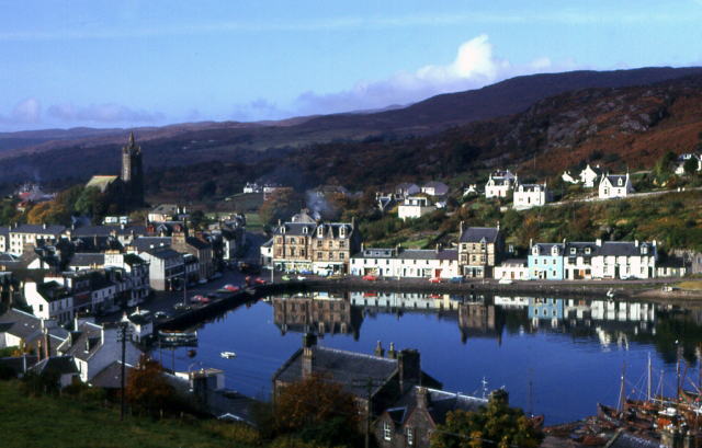


Why visit Tarbert
Townapedia lists 5 museums and landmarks, 2 parks and trails, 12 places to eat, 7 places to stay and 2 attractions in and around town.
Highlights include Avinagillan standing stone, Tarbert Castle and Tarbert Golf Club.
Weather in Tarbert
Forecast from MET Norway (CC BY 4.0). Full forecast
About Tarbert
Tarbert (Scottish Gaelic: An Tairbeart, pronounced [ən̪ˠ ˈt̪ʰaɾʲapərˠʃt̪]; more fully Tairbeart Loch Fìne "Tarbert [of] Loch Fyne" to distinguish it from other Tarberts) is a village in the west of Scotland, in the Argyll and Bute council area. It is built at the head of an inlet of Loch Fyne called East Loch Tarbert, on a narrow isthmus which connects Kintyre to the south with Knapdale to the north and separates East Loch Tarbert from the much longer West Loch Tarbert which leads to the Sound of Jura and the Atlantic. Tarbert had a recorded population of 1,338 in the 2001 Census.
From the Wikipedia article Tarbert, Kintyre (this version), under CC BY-SA 4.0.
Travel tips from other travellers: Tarbert on Wikivoyage (CC BY-SA 4.0).
Photos of Tarbert


Things to do2

Museums and landmarks5

Avinagillan standing stone
Monument and historic site · 1.7 mi
Menhir in Argyll and Bute, Scotland, UK


Seafari pier
Monument and historic site · 1.4 mi
Old Seafari Pick up drop off point
Parks, trails and playgrounds2


Restaurants and cafes12
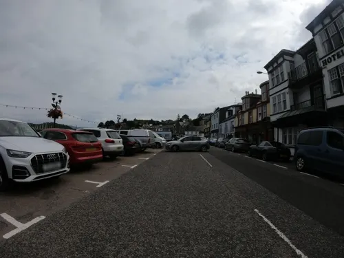
Seabed Restaurant
Restaurant
Mo-Fr 07:30-09:30, Mo-Su 17:30-20:30, Sa,Su 08:00-10:00
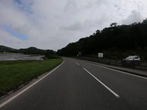
West Loch Hotel restaurant
Restaurant · Regional, Burger, Sandwich, Ice Cream, Chicken, Fish And Chips, Seafood, Steak House · 1.0 mi
Campbeltown Road, Tarbert
Mo-Su 09:00-21:00
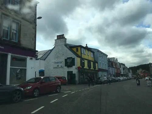
The Red Herring Seafood Restaurant
Restaurant · Indian
Stanley Place, Harbour Street

History
Tarbert is a name from Gaelic for a small neck of land joining two larger pieces; an isthmus, across which a birlinn (longboat or galley) could be dragged.
Tarbert was anciently part of the Gaelic overkingdom of Dál Riata. It has been suggested as a scene of an action during a conflict for the kingdom's rule between Dúngal mac Selbaig and Eochaid mac Echdach. The Annals of Ulster attest that in 731, Dúngal burnt a "Tairpert Boitir", which was most probably Tarbert and was at the time in the lands of the Cenél nGabráin.
Allegedly, around the year 1098 Magnus Barefoot, King of Norway, had his galley drawn across the isthmus at Tarbert with himself in it, to establish his claim to Kintyre as an island.
Read more of the history
A similar story recounts that Robert the Bruce, when on his way to visit the Isles in 1315, "caused his galleys to be drawn across the isthmus of Tarbert. The King, whose exploit wrought upon the superstition of the inhabitants, having thus 'dantit the Ilis' and procured their homage," later returned to the castle. A fortified structure had been built in Tarbert during the 13th century. It was reinforced with the addition of an outer bailey and towers in the 1320s by Bruce, to protect it against the Lords of the Isles. A towerhouse was added in the 16th century, which is the most noticeable part of the remains. The castle occupies high land above Loch Fyne, providing views up East Loch Tarbert and beyond to the Firth of Clyde. This castle was captured from John MacDonald by James IV of Scotland as part of his campaign to destroy the power of the Lords of the Isles. In 1685 the castle was involved in another skirmish when Walter Campbell of Skipness Castle seized it as a stronghold for the Clan Campbell.
There are only a couple of standing walls left which have been stabilised, allowing removal of fencing and closer access for visitors. The castle is on top of a hill in Tarbert overlooking the bay. The castle has a very commanding view of the water approaches.
From the History section of Tarbert, Kintyre on Wikipedia, under CC BY-SA 4.0.
More about Tarbert
Geography
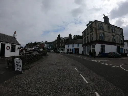
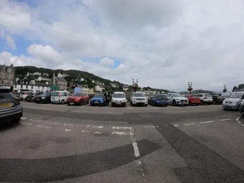
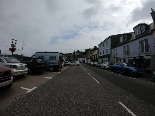
The coast of Tarbert Bay is rocky and the cliffs are fringed with young firs, the village itself being an extremely tranquil and beautiful place. Tarbert boasts several beaches, accessible either through forested walks or over seaside rocks. One such beach, known locally as the Shell Beach, is composed entirely of broken seashells that have washed ashore following offshore processing of queenies and clams.
The Church of Scotland parish church occupies a fine situation on high ground and has a crown spire. Overlooking the harbour are the ruins of a castle built by Robert I of Scotland in 1326. The isthmus connecting the districts of Knapdale and Kintyre is little more than 1 mile (1.6 km) wide, and boats once used to be dragged across to the head of West Loch Tarbert, a narrow sea loch nearly 10 miles (16 km) long. A proposal to cut a canal across to shorten the sail to Islay and Jura in the late 19th century did not progress further.
Arts and culture
Tarbert is famous for its seafood and hosts a seafood festival every year. In addition to the Seafood Festival, Tarbert also plays host to the Scottish Series, which usually takes place in the last weeks of May every year. This yacht race is the second biggest in Britain and is surpassed only by the Cowes Week. At its peak, the village is swelled by visiting yachtsmen and their yachts.
Tarbert also hosts an annual amusement fair at the end of July. Begun in the early 1800s, Tarbert Fair was originally a place where farmers and crofters would barter cattle, wool, and other goods. Today, however, the Fair is all about entertainment, with a suite of fairground rides, arcades, and fast food outlets that stretch along the harbour walls.
From the Wikipedia article Tarbert, Kintyre, under CC BY-SA 4.0.
Where to stay7
Churches and places of worship2
Shopping2
Schools, colleges and libraries2
Map of Tarbert
34 places. The map loads OpenStreetMap tiles when you open it.
Getting there and nearby towns
Campbeltown Airport (CAL) is the nearest airport with scheduled flights listed in OpenStreetMap, 31 miles away.
- Largs 22 mi east, about 35 min by car
- Gourock 24 mi east, about 39 min by car
- Greenock 26 mi east, about 42 min by car
- Ardrossan 28 mi southeast, about 45 min by car
- Helensburgh 28 mi east, about 46 min by car
- Port Glasgow 29 mi east, about 46 min by car
- Saltcoats 29 mi southeast, about 47 min by car
- Kilwinning 31 mi southeast, about 50 min by car
- Vale of Leven 33 mi east, about 54 min by car
- Irvine 34 mi southeast, about 55 min by car
Drive times are estimates from straight-line distance, not routes.
Towns near Tarbert


Keep exploring
Local news
Headlines from INDB.
Reviews, tips and questions
Loading what members have shared...
Sources and licences
- GeoNames (CC BY 4.0): population, coordinates, regions and time zone
- Mapillary (see each image): photos
- OpenStreetMap contributors (ODbL 1.0): places, airports, map data
- Wikidata (CC0 1.0): elevation, founding date, time zone, website, landmarks and historic places
- Wikimedia Commons (see each image): photos
- Wikipedia (CC BY-SA 4.0): overview and history text
Photo credits
- Tarbert, Anne Burgess, CC BY-SA 2.0
- Tarbert 8 (37395805702), Tony Hisgett from Birmingham, UK, CC BY 2.0
- Tarbert 7 (37395802542), Tony Hisgett from Birmingham, UK, CC BY 2.0
- Tarbert - panoramio - Alistair Cunningham, Alistair Cunningham, CC BY 3.0
- 07672 Tarbert Church of Scotland, Tarbert, Kintyre 010, WeeHolly, CC BY-SA 4.0
- 07672 Tarbert Church of Scotland, Tarbert, Kintyre 013, WeeHolly, CC BY-SA 4.0
- 07672 Tarbert Church of Scotland, Tarbert, Kintyre 002, WeeHolly, CC BY-SA 4.0
- 07672 Tarbert Church of Scotland, Tarbert, Kintyre 005, WeeHolly, CC BY-SA 4.0
- 07672 Tarbert Church of Scotland, Tarbert, Kintyre 006, WeeHolly, CC BY-SA 4.0
- 07672 Tarbert Church of Scotland, Tarbert, Kintyre 017, WeeHolly, CC BY-SA 4.0
- 07672 Tarbert Church of Scotland, Tarbert, Kintyre 001, WeeHolly, CC BY-SA 4.0
- 07672 Tarbert Church of Scotland, Tarbert, Kintyre 011, WeeHolly, CC BY-SA 4.0
- 07672 Tarbert Church of Scotland, Tarbert, Kintyre 008, WeeHolly, CC BY-SA 4.0
- 07672 Tarbert Church of Scotland, Tarbert, Kintyre 007, WeeHolly, CC BY-SA 4.0
- 07672 Tarbert Church of Scotland, Tarbert, Kintyre 003, WeeHolly, CC BY-SA 4.0
- 07672 Tarbert Church of Scotland, Tarbert, Kintyre 012, WeeHolly, CC BY-SA 4.0
- 07672 Tarbert Church of Scotland, Tarbert, Kintyre 015, WeeHolly, CC BY-SA 4.0
- 07672 Tarbert Church of Scotland, Tarbert, Kintyre 014, WeeHolly, CC BY-SA 4.0
- 07672 Tarbert Church of Scotland, Tarbert, Kintyre 016, WeeHolly, CC BY-SA 4.0
- 07672 Tarbert Church of Scotland, Tarbert, Kintyre 004, WeeHolly, CC BY-SA 4.0
- 07672 Tarbert Church of Scotland, Tarbert, Kintyre 009, WeeHolly, CC BY-SA 4.0
- Tarbert 9 (36716953464), Tony Hisgett from Birmingham, UK, CC BY 2.0
- Standingstonenr8367-1374, C Michael Hogan, CC BY-SA 2.0
- Argyll and Bute - Tarbert Castle - 20220920131143, Rtomandl, CC BY-SA 4.0
- Street-level photo, joostjakob, CC BY-SA 4.0
- Street-level photo, joostjakob, CC BY-SA 4.0
- Street-level photo, joostjakob, CC BY-SA 4.0
- Street-level photo, joostjakob, CC BY-SA 4.0
- Street-level photo, joostjakob, CC BY-SA 4.0
- Street-level photo, joostjakob, CC BY-SA 4.0
- Street-level photo, joostjakob, CC BY-SA 4.0
- Street-level photo, joostjakob, CC BY-SA 4.0
- Street-level photo, joostjakob, CC BY-SA 4.0
- Street-level photo, joostjakob, CC BY-SA 4.0
- Street-level photo, ccbb7766, CC BY-SA 4.0
- Street-level photo, joostjakob, CC BY-SA 4.0
- Street-level photo, joostjakob, CC BY-SA 4.0
- Street-level photo, joostjakob, CC BY-SA 4.0
- Street-level photo, ccbb7766, CC BY-SA 4.0
- Street-level photo, joostjakob, CC BY-SA 4.0
- Street-level photo, ccbb7766, CC BY-SA 4.0
- Street-level photo, ccbb7766, CC BY-SA 4.0
- Street-level photo, ccbb7766, CC BY-SA 4.0


Page built November 10, 2026. Spotted a mistake? Tell us or suggest a place.