


Port Bannatyne, United Kingdom
Port Bannatyne is a town of 1,200 people in Scotland, United Kingdom.
Why visit Port Bannatyne
Townapedia lists 17 museums and landmarks, 6 parks and trails, 29 places to eat, 18 places to stay and 2 attractions in and around town.
Highlights include Toward Point Lighthouse, Bute Museum, Penola and Rothesay Castle.
Weather in Port Bannatyne
Forecast from MET Norway (CC BY 4.0). Full forecast
About Port Bannatyne
Port Bannatyne (Scottish Gaelic: Port MhicEamailinn), is a coastal village on the Isle of Bute, Firth of Clyde, Scotland that is home to many steamers. Port Bannatyne developed into the 1900s as a quieter alternative to Rothesay. It is a popular harbour, with a small yacht marina and boatyard and an unusual 13-hole golf course rather than the standard 18.
From the Wikipedia article Port Bannatyne (this version), under CC BY-SA 4.0.
Photos of Port Bannatyne


Things to do2

Toward Point Lighthouse
Lighthouse · 3.3 mi
Lighthouse in Argyll and Bute, Scotland, UK

Museums and landmarks17


Penola
Monument and historic site · 2.5 mi
Shipwreck off the Scottish coast




12th Flotilla Midget Submarines Memorial Garden
Monument and historic site · 0.9 mi
5 more on the map.
Parks, trails and playgrounds6





Restaurants and cafes29
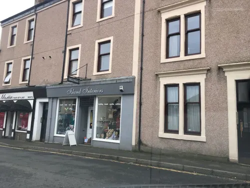
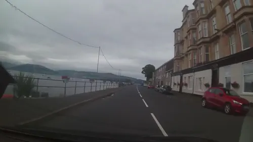
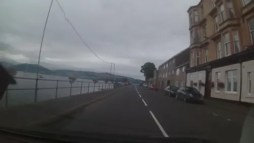
CaleDonia Coffeehouse & Bistro
Cafe · Sandwich · 0.7 mi
31 Marine Road, Port Bannatyne
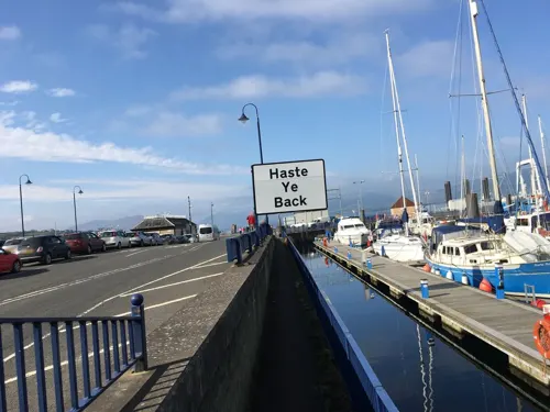


17 more on the map.
History
The village started in 1801 with the building of a small harbour on Kames Bay. Lord Bannatyne of Kames Castle, at the head of the bay, planned the village in an attempt to rival Rothesay. Initially known as Kamesburgh, by the mid-19th century, steamers were calling there regularly. In 1860 the Marquess of Bute purchased this part of the island and renamed the village Port Bannatyne in honour of the long historical association of the Bannatyne family with the area. Boat building became an important local industry.
In 1879 a narrow gauge horse-drawn tram linked Port Bannatyne with Rothesay. This was electrified and extended across the island to Ettrick Bay in 1902.
In the Second World War midget submarines exercised in the bay and nearby Loch Striven. The luxury Kyles Hydro Hotel, overlooking the Port, was requisitioned by the Admiralty to serve as the HQ for midget submarine (x-craft) operations. In particular, it was from here (hotel renamed HMS Varbel) that the top secret and audacious attack on the Tirpitz was masterminded.
From the History section of Port Bannatyne on Wikipedia, under CC BY-SA 4.0.
More about Port Bannatyne
Geography
Port Bannatyne lies on the Firth of Clyde, approximately 2 miles (3 km) north of Rothesay on the Scottish Isle of Bute. Rhubodach is a further 6 miles (10 km) north away on the A886 and a Caledonian MacBrayne ferry service to the Cowal peninsula. This ferry runs every 30 minutes during the day. In Rothesay there is a Caledonian MacBrayne ferry service to Wemyss Bay in Inverclyde. This ferry leaves every hour (journey time 35 minutes) during the day.
Substantial slate and stone houses face the sea around Kames Bay. The village's focus was the stone pier mid-way along the south shore of Kames Bay. The bay provided mooring for yachts and fishing boats.
On the seafront are a shop/Post Office and the community-owned Anchor Tavern which was rescued from closure by local people who formed the Port Bannatyne Development Trust in 2020. The Port Royal Hotel was bought in 2000 by a Russo-Norwegian family who renovated the building and converted it into a replica of a Russian Tavern of Imperial Times, however it closed in 2017.
Above the village, with views across the sea to the Isle of Arran and the Argyll hills, is the Port Bannatyne golf-course. Built in 1912, the course now has 13 holes. The village has strong links overseas and has its own club for the French game of Pétanque, with a pitch, or piste, on the seafront.
From the Wikipedia article Port Bannatyne, under CC BY-SA 4.0.
Notable people from Port Bannatyne
 William MacewenScottish surgeon and neuroscientist (1848–1924)Photo: Unknown/неизвестен, Public domain
- John MunnCanadian businessman, politician, newspaper owner, bank director
Born in Port Bannatyne, according to Wikidata (CC0). Each name links to its Wikipedia article.
Where to stay18
Churches and places of worship5
Shopping10
Gas and EV charging2
Schools, colleges and libraries3
Healthcare1
Map of Port Bannatyne
93 places. The map loads OpenStreetMap tiles when you open it.
Getting there and nearby towns
Glasgow Airport (GLA) is the nearest airport with scheduled flights listed in OpenStreetMap, 24 miles away.
- Largs 9 mi southeast, about 14 min by car
- Sandbank 10 mi northeast, about 16 min by car
- Gourock 12 mi northeast, about 19 min by car
- Greenock 13 mi northeast, about 22 min by car
- Tarbert 14 mi west, about 22 min by car
- Rosneath 15 mi northeast, about 24 min by car
- Port Glasgow 16 mi east, about 25 min by car
- Helensburgh 17 mi northeast, about 27 min by car
- Ardrossan 17 mi southeast, about 28 min by car
- Saltcoats 19 mi southeast, about 30 min by car
Drive times are estimates from straight-line distance, not routes.
Towns near Port Bannatyne


Keep exploring
Local news
Headlines from INDB.
Reviews, tips and questions
Loading what members have shared...
Sources and licences
- GeoNames (CC BY 4.0): population, coordinates, regions and time zone
- Mapillary (see each image): photos
- OpenStreetMap contributors (ODbL 1.0): places, airports, map data
- Wikidata (CC0 1.0): elevation, founding date, time zone, website, landmarks and historic places
- Wikimedia Commons (see each image): photos
- Wikipedia (CC BY-SA 4.0): overview and history text
Photo credits
- Port Bannatyne 11.06.2014, Frank Jordan, CC BY-SA 3.0
- Wester Kames Castle (35530661293), Reading Tom from Reading, UK, CC BY 2.0
- Rothesay Castle 20100926 view from NNE, Otter, CC BY-SA 3.0
- Kames Castle, Richard Dear, CC BY-SA 2.0
- Bute Museum, DougRM, CC BY-SA 4.0
- Rothesay Castle - Gatehouse and Pigeon Tower 2016, DeFacto, CC BY-SA 4.0
- YachtPenolaUnderSail, UsualDosage, CC BY-SA 4.0
- Ardbeg Point (35942704600), Reading Tom from Reading, UK, CC BY 2.0
- Oystercatcher at Ardbeg (36170782842), Reading Tom from Reading, UK, CC BY 2.0
- Former Rothesay and Ettrick Bay Light Railway depot 01, Andrewrabbott, CC BY-SA 4.0
- Looking North from Ardbeg Point (35503670254), Reading Tom from Reading, UK, CC BY 2.0
- Toward Point Lighthouse (36202976881), Reading Tom from Reading, UK, CC BY 2.0
- Rothesay Winter Gardens, Teddy Birmingham, CC BY-SA 3.0
- Street-level photo, ccbb7766, CC BY-SA 4.0
- Street-level photo, trigpoint, CC BY-SA 4.0
- Street-level photo, ccbb7766, CC BY-SA 4.0
- Street-level photo, ccbb7766, CC BY-SA 4.0
- Street-level photo, trigpoint, CC BY-SA 4.0
- Street-level photo, ccbb7766, CC BY-SA 4.0
- Street-level photo, ccbb7766, CC BY-SA 4.0
- Street-level photo, trigpoint, CC BY-SA 4.0
- Street-level photo, trigpoint, CC BY-SA 4.0
- Street-level photo, trigpoint, CC BY-SA 4.0
- Street-level photo, ccbb7766, CC BY-SA 4.0
- Street-level photo, trigpoint, CC BY-SA 4.0
- Street-level photo, trigpoint, CC BY-SA 4.0
- Street-level photo, ccbb7766, CC BY-SA 4.0
- Street-level photo, trigpoint, CC BY-SA 4.0
- Street-level photo, trigpoint, CC BY-SA 4.0
- Street-level photo, ccbb7766, CC BY-SA 4.0
- Street-level photo, ccbb7766, CC BY-SA 4.0
- Street-level photo, trigpoint, CC BY-SA 4.0
- Street-level photo, ccbb7766, CC BY-SA 4.0
- Street-level photo, trigpoint, CC BY-SA 4.0
- Street-level photo, ccbb7766, CC BY-SA 4.0
- Street-level photo, trigpoint, CC BY-SA 4.0
- Street-level photo, trigpoint, CC BY-SA 4.0
- Street-level photo, trigpoint, CC BY-SA 4.0
- Street-level photo, trigpoint, CC BY-SA 4.0
- Street-level photo, trigpoint, CC BY-SA 4.0
- Street-level photo, ccbb7766, CC BY-SA 4.0
- Street-level photo, trigpoint, CC BY-SA 4.0
- Street-level photo, ccbb7766, CC BY-SA 4.0
- Street-level photo, trigpoint, CC BY-SA 4.0
Page built November 10, 2026. Spotted a mistake? Tell us or suggest a place.