


Bishop Sutton, United Kingdom
Bishop Sutton is a town of 1,193 people in England, United Kingdom.
Why visit Bishop Sutton
Townapedia lists 3 museums and landmarks, 5 parks and trails, 6 places to eat, 2 places to stay and 5 attractions in and around town.
Highlights include Folly Farm, Knowle Hill, Stanton Drew stone circles and Sutton Court.
Weather in Bishop Sutton
Forecast from MET Norway (CC BY 4.0). Full forecast
About Bishop Sutton
Bishop Sutton is a village on the northern slopes of the Mendip Hills, within the affluent Chew Valley in Somerset, England. It lies east of Chew Valley Lake and north east of the Mendip Hills, approximately 10 miles (16 km) south of Bristol on the A368, Weston-super-Mare to Bath road. Bishop Sutton and the neighbouring village of Stowey form the civil parish of Stowey-Sutton.
From the Wikipedia article Bishop Sutton (this version), under CC BY-SA 4.0.
Photos of Bishop Sutton

Things to do5



Museums and landmarks3

Stanton Drew stone circles
Monument and historic site · 2.4 mi
Neolithic henge monument; stone circles


Romano-Celtic temple at Pagans Hill
Monument and historic site · 2.6 mi
Octagonal Romano-Celtic temple built in the late 3rd century CE at the Pagans Hill sanctuary in Chew Stoke
Parks, trails and playgrounds5
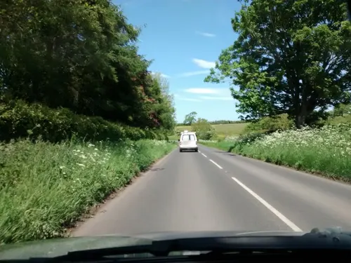

Stephen's Vale Nature Reserve
Park · 3.3 mi
Nature reserve in Somerset, England


Restaurants and cafes6
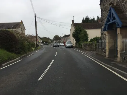
Bishop Sutton Community Library Cafe
Cafe
The Street
Th 14:00-16:30; Sa 10:00-12:00




History
Much of the exploratory survey work which identified the geology of the area was carried out by William Smith, who became known as the "father of English geology", building on earlier work in the same area by John Strachey, who lived at Sutton Court.
The Pensford coal basin lies in the northern area of the Somerset coalfield around Bishop Sutton, Pensford, Stanton Drew, Farmborough and Hunstrete.
The date for the first pits around Bishop Sutton are uncertain but there was at least one before 1719. By 1824 a collection of four bell pits were identified in field tithe No 1409, and four shaft pits in field tithe No 1428, but they were no longer working.
Read more of the history
The Old Pit (ST587597), which was also known as Sutton Top Pit or Upper Sutton Pit, was dug before 1799 and owned by Henry Fisher, who sold it in 1821 to Robert Blinman Dowling and several seams of coal were identified and exploited. After Dowling's death the Old Pit was sold to T.T. Hawkes in 1852, but he defaulted on the payments and it was sold in 1853 to William Rees-Mogg (an ancestor of William Rees-Mogg) and his associates. The shaft reached a depth of 304 feet (93 m), but went out of production by 1855, when the "New" Pit which had been sunk in the early 19th century but then closed, was reopened and deepened to exploit deeper seams. The New Pit (ST587597) had two shafts of 4 feet (1.2 m) diameter, one for winding and one for pumping. In 1896 it was owned by F. Spencer, New Rock Colliery, and in 1908 by Jesse Lovell and Sons. The pit finally closed in 1929.
From the History section of Bishop Sutton on Wikipedia, under CC BY-SA 4.0.
More about Bishop Sutton
Geography
Folly Farm is a traditionally managed visitable farm and nature reserve run by the Avon Wildlife Trust.
The farm house is 17th century and the surrounding land includes neutral grassland, flowery meadows and woodlands with splendid views. Much of Folly Farm is designated as a biological Site of Special Scientific Interest. The SSSI comprises two adjacent areas, the meadows (19.36 hectares) and Dowlings Wood (9 hectares). The site is situated on a curved ridge of land on neutral soils derived from the underlying Keuper Marl. The soil is of the Icknield Association with dark brown, moist but moderately well-drained clay. It attracts a wide range of birds. The pasture is of a kind now rare in the area. A number of scarce species of fly are listed from the site.
The site was purchased from the Strachey family who were lords of the manor of the nearby Sutton Court in 1987.
Burledge Hill is on the southern edge of the village of Bishop Sutton. The site comprises a mixture of flower rich grassland, scrub and mature hedgerows. Three fields are designated as Burledge Sidelands and Meadows a Site of Nature Conservation Interest (SNCI), and, since November 2005, as a Site of Special Scientific Interest (SSSI) covering 48.7 ha.
Education
As of 2011, the village school has 175 pupils aged 4–11 years on the roll. It dates back to 1842 and was originally a school for pupils up to the age of 14. At one time it was a Church school but no longer has this status. The building today consists of the original Victorian school and 5 other classrooms in a new building.
From the Wikipedia article Bishop Sutton, under CC BY-SA 4.0.
Where to stay2
Churches and places of worship15
Church of St Nicholas and the Blessed Virgin Mary, Stowey
Church · 0.8 mi
Schools, colleges and libraries2
Map of Bishop Sutton
38 places. The map loads OpenStreetMap tiles when you open it.
Getting there and nearby towns
Bristol Airport (BRS) is the nearest airport with scheduled flights listed in OpenStreetMap, 6 miles away.
- Chew Magna 2 mi north, about 4 min by car
- Winford 4 mi northwest, about 7 min by car
- Blagdon 5 mi west, about 9 min by car
- Midsomer Norton 6 mi southeast, about 9 min by car
- Keynsham 7 mi northeast, about 11 min by car
- Bristol 8 mi north, about 13 min by car
- Churchill 8 mi west, about 13 min by car
- Kingswood 9 mi northeast, about 14 min by car
- Wells 9 mi south, about 15 min by car
- Bath 10 mi east, about 17 min by car
Drive times are estimates from straight-line distance, not routes.
Towns near Bishop Sutton


Keep exploring
Local news
Headlines from INDB.
Reviews, tips and questions
Loading what members have shared...
Sources and licences
- GeoNames (CC BY 4.0): population, coordinates, regions and time zone
- Mapillary (see each image): photos
- OpenStreetMap contributors (ODbL 1.0): places, airports, map data
- Wikidata (CC0 1.0): elevation, founding date, time zone, website, landmarks and historic places
- Wikimedia Commons (see each image): photos
- Wikipedia (CC BY-SA 4.0): overview and history text
Photo credits
- Bishop Sutton, Rodw, Public domain
- Stanton Drew stone circle, Somerset, Stevekeiretsu, CC BY-SA 4.0
- Clutton church, Rodw at English Wikipedia, CC BY-SA 3.0
- Temple cloud cameley eglise, Velvet, CC BY-SA 3.0
- St Laurence, East Harptree (52049475208), The National Churches Trust, CC BY 2.0
- St. Mary the Virgin's church, Stanton Drew, Jonathan Billinger, CC BY-SA 2.0
- Litton church, Rodw at English Wikipedia, Public domain
- West harptree church, Rodw at English Wikipedia, Public domain
- St andrews chew magna, Rodw at English Wikipedia, CC BY-SA 3.0
- Church of St Nicholas and St Mary, Stowey from south, Rodw, CC BY-SA 3.0
- Follyfarmbuilding2, Rodw, Public domain
- Back of Sutton Court, Rodw, CC BY-SA 3.0
- Bishopsuttonchurch, Adrian and Janet Quantock, CC BY-SA 2.0
- Stall selling 'Bee' products at Bristol Water's Open Day, Woodford Lodge, Chew Valley Lake, Somerset, Pauline Eccles, CC BY-SA 2.0
- Street-level photo, southglos, CC BY-SA 4.0
- Street-level photo, southglos, CC BY-SA 4.0
- Street-level photo, southglos, CC BY-SA 4.0
- Street-level photo, southglos, CC BY-SA 4.0
- Street-level photo, graham, CC BY-SA 4.0


Page built November 10, 2026. Spotted a mistake? Tell us or suggest a place.