


Kingswood, United Kingdom
Kingswood is a town of 40,734 people in England, United Kingdom.
Why visit Kingswood
Townapedia lists 9 museums and landmarks, 35 parks and trails, 134 places to eat, 1 place to stay and 10 attractions in and around town.
Highlights include Avon Bridge, Brock's Bridge, British Empire and Commonwealth Museum and Exploratory Hands-on Science Centre.
Weather in Kingswood
Forecast from MET Norway (CC BY 4.0). Full forecast
About Kingswood
Kingswood is a town and civil parish in the South Gloucestershire district of the ceremonial county of Gloucestershire, England. The town is in the Bristol Built-up Area, situated 3 miles (4.8 km) east-northeast of Bristol city centre. In 2023 it had a population of 48,474.
From the Wikipedia article Kingswood, South Gloucestershire (this version), under CC BY-SA 4.0.
Photos of Kingswood


Things to do10

Avon Bridge
Bridge · 2.1 mi
Railway bridge over the River Avon in Brislington, Bristol, England
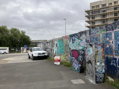

Langton Street Bridge
Bridge · 3.4 mi
Bridge in City of Bristol, England, UK


St Philip's Footbridge
Bridge · 3.0 mi
Footbridge in Bristol, England


Warmley Hill
Scenic view · 0.8 mi
Not a "peak", just halfway up the hill between Warmley (50 m) and Kingswood (110 m).
Museums and landmarks9

British Empire and Commonwealth Museum
Museum · 3.2 mi
Museum in Bristol, England, UK
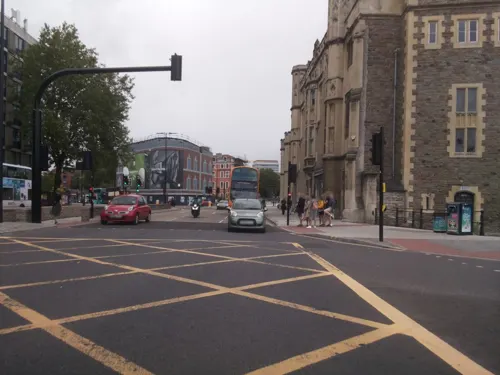
Exploratory Hands-on Science Centre
Museum · 3.2 mi
Hands-on science museum in Bristol, from 1987 to 1999



Glenside Hospital Museum
Museum · 2.7 mi
Hospital museum in Stapleton, Bristol, United Kingdom

Parks, trails and playgrounds35


Page Park
Park · 2.1 mi
Park in Staple Hill, South Gloucestershire, United Kingdom



23 more on the map.
Restaurants and cafes134
Kings Tandoori
Restaurant · Indian · 0.7 mi
27 High Street, Kingswood
Mo-Th 17:30-23:00; Fr-Sa 17:00-23:30; Su 17:30-23:00
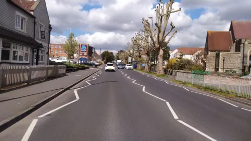
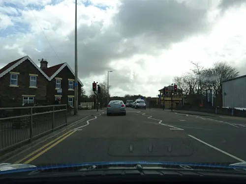
Warmley Waiting Room Cafe
Cafe · Sandwich, Drinks, Cake · 1.5 mi
1 London Road, Bristol
Mo-Su 09:00-17:00
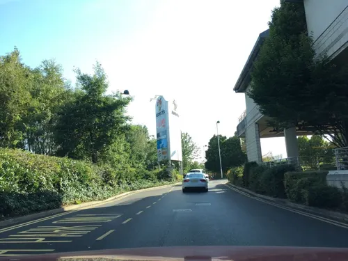
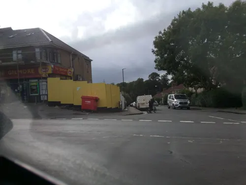
L'oro di Napoli - Pizzeria & Trattoria
Restaurant · Italian Pizza · 1.5 mi
3 Birchwood Road
Sa 12:00-14:30, 17:00-21:00; Su 12:00-21:00; Tu-Fr 17:00-22:00



Beeses Bar & Tea Gardens
Cafe · 1.3 mi
Wyndham Crescent
Apr-Sep Fr-Sa 12:00-23:00; Apr-Sep Su 12:00-19:00
122 more on the map.
Notable people from Kingswood
 Jimmy JayEnglish footballer (1879-1927)Photo: Thebees1889, CC BY-SA 4.0
- Eric BallBritish composer and conductor
- David LeeEnglish footballer (born 1969)
- Bill DemmeryEnglish footballer
- Kerry-Anne MendozaEnglish writer and journalist
- Wilfred BeaverBritish flying ace (1897-1986)
- Jack SmartEnglish footballer
Born in Kingswood, according to Wikidata (CC0). Each name links to its Wikipedia article.
Where to stay1
Churches and places of worship60
Church of St Jude the Apostle with St Matthias on the Weir
Church · 3.1 mi
Shopping19
Gas and EV charging3
Schools, colleges and libraries32
Healthcare14
Map of Kingswood
250 places. The map loads OpenStreetMap tiles when you open it.
Getting there and nearby towns
Bristol Airport (BRS) is the nearest airport with scheduled flights listed in OpenStreetMap, 11 miles away.
- Mangotsfield 2 mi north, about 4 min by car
- Keynsham 3 mi south, about 4 min by car
- Bristol 4 mi west, about 6 min by car
- Stoke Gifford 5 mi north, about 7 min by car
- Yate 7 mi northeast, about 12 min by car
- Bath 8 mi southeast, about 13 min by car
- Nailsea 11 mi west, about 17 min by car
- Thornbury 11 mi north, about 17 min by car
- Portishead 11 mi west, about 18 min by car
- Midsomer Norton 12 mi south, about 19 min by car
Drive times are estimates from straight-line distance, not routes.
Towns near Kingswood


Keep exploring
Local news
Headlines from INDB.
Reviews, tips and questions
Loading what members have shared...
Sources and licences
- GeoNames (CC BY 4.0): population, coordinates, regions and time zone
- Mapillary (see each image): photos
- OpenStreetMap contributors (ODbL 1.0): places, airports, map data
- Wikidata (CC0 1.0): elevation, founding date, time zone, website, landmarks and historic places
- Wikimedia Commons (see each image): photos
- Wikipedia (CC BY-SA 4.0): overview and history text
Photo credits
- Kingswoodclocktower, The original uploader was Rodw at English Wikipedia ., Public domain
- Oxalis articulata, Kingswood, Ultimateplantman, CC BY 4.0
- Avonbridge, Rodw at English Wikipedia, Public domain
- Langton Street Bridge, Simon Cobb, CC0
- Meads Reach Bridge 01, Garuda3, CC BY-SA 4.0
- St Philip's Footbridge 06, Garuda3, CC BY-SA 4.0
- Bristol Temple Meads old station frontage (750px), The original uploader was Rbrwr at English Wikipedia ., CC BY-SA 3.0
- Fallow deer arp, Adrian Pingstone, Public domain
- Eastville Park lake, frozen, from west, Rwendland, CC BY-SA 4.0
- OldburyCourtDam, William Avery, CC BY-SA 3.0
- Snuff Mills restored mill, William Avery, CC BY-SA 3.0
- St Agnes Church, Bristol (3912418421), Robert Cutts from Bristol, England, England, CC BY 2.0
- St John the Baptist, Keynsham, tower end, Rwendland, CC BY-SA 3.0
- Cossham Memorial Hospital, Bristol, William Avery, CC BY-SA 3.0
- Troopers Hill 24.07.2012 03, Janusz Jankowski, CC BY-SA 3.0
- Riverside Park, Bristol - DSCF6339, Tadeusz Hare, CC BY-SA 4.0
- Gaunts Ham Park, Lincoln Street entrance - PXL 20260222 140652105, Tadeusz Hare, CC BY-SA 4.0
- Mina Road Park - DSC 0449, Tadeusz Hare, CC BY-SA 4.0
- Church of the Ascension, Hanham - panoramio, Robert Powell, CC BY-SA 3.0
- Hanham Mount. 2008. - panoramio, Bob&Anne Powell, CC BY-SA 3.0
- Former Offices of Douglas Motorcycle Factory. (Built 1902). - panoramio, Bob&Anne Powell, CC BY-SA 3.0
- Ba-Kar-Ee Box, Finalerock44, CC BY-SA 4.0
- Ba-Kar-Ee Rules, Finalerock44, CC BY-SA 4.0
- Ba-Kar-Ee Scores, Finalerock44, CC BY-SA 4.0
- Warmley Signal Box. - panoramio, Bob&Anne Powell, CC BY-SA 3.0
- Troopers Hill chimney - DSCF0968, Tadeusz Hare, CC BY-SA 4.0
- Big sky over Netham Park (4967382500), Andrew Bennett from Bristol, UK, CC BY 2.0
- Clock Tower, Page Park. - panoramio, Robert Powell, CC BY-SA 3.0
- Street-level photo, southglos, CC BY-SA 4.0
- Street-level photo, southglos, CC BY-SA 4.0
- Street-level photo, southglos, CC BY-SA 4.0
- Street-level photo, southglos, CC BY-SA 4.0
- Street-level photo, noid, CC BY-SA 4.0
- Street-level photo, southglos, CC BY-SA 4.0
- Street-level photo, zymurgic, CC BY-SA 4.0
- Street-level photo, milliams, CC BY-SA 4.0
- Street-level photo, southglos, CC BY-SA 4.0
- Street-level photo, southglos, CC BY-SA 4.0
- Street-level photo, southglos, CC BY-SA 4.0
- Street-level photo, southglos, CC BY-SA 4.0
- Street-level photo, southglos, CC BY-SA 4.0
- Street-level photo, southglos, CC BY-SA 4.0
- Street-level photo, zymurgic, CC BY-SA 4.0
- Street-level photo, southglos, CC BY-SA 4.0
- Street-level photo, southglos, CC BY-SA 4.0
- Street-level photo, southglos, CC BY-SA 4.0
- Street-level photo, southglos, CC BY-SA 4.0
- Street-level photo, southglos, CC BY-SA 4.0
- Street-level photo, southglos, CC BY-SA 4.0
- Street-level photo, southglos, CC BY-SA 4.0


Page built November 10, 2026. Spotted a mistake? Tell us or suggest a place.