


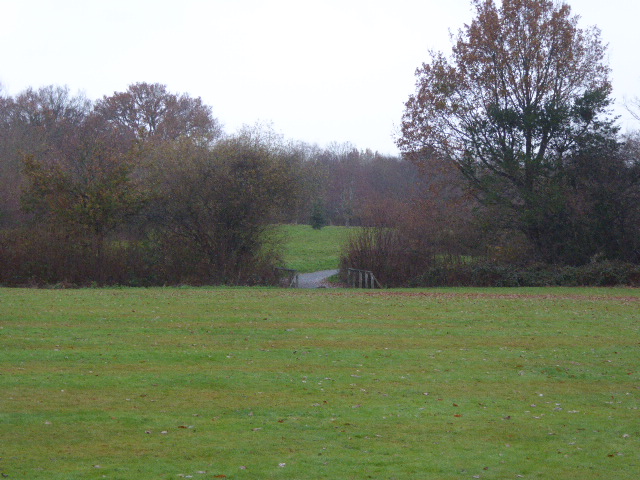
Blindley Heath, United Kingdom
Blindley Heath is a town of 1,123 people in England, United Kingdom.
Why visit Blindley Heath
Townapedia lists 1 museum or landmark, 5 parks and trails, 2 places to eat, 3 places to stay and 1 attraction in and around town.
Highlights include British Wildlife Centre, Centenary Fields and Lingfield Wildlife Area.
Weather in Blindley Heath
Forecast from MET Norway (CC BY 4.0). Full forecast
About Blindley Heath
Godstone is a village and civil parish in the Tandridge District of Surrey, England. It is 6 miles (9.7 km) east of Reigate, 3 miles (4.8 km) west of Oxted, 22 miles (35 km) east of Guildford and 18 miles (29 km) south of London. Close to the North Downs, both the North Downs Way and the Greensand Way pass through Godstone.
From the Wikipedia article Godstone (this version), under CC BY-SA 4.0.
Things to do1

Museums and landmarks1

Parks, trails and playgrounds5




Restaurants and cafes2
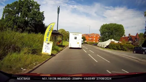

History
Godstone was originally merely a hamlet in the parish of Walkingstead, with the centre of population later shifting from the latter to the former. It appears that the manor-houses of Marden and Lagham were centres of population till the inhabitants were nearly exterminated by the Black Death of 1349.
The village lay within the Anglo-Saxon administrative division of Tandridge hundred. It was built along a stretch of the London to Brighton Way Roman road, which came through the high Caterham Gap and continues southward along Tilburstow Hill Road. The church gave its name to another and probably earlier settlement on the main road, which then passed by Marden Park and went on to Lagham.
In the 1800s, stone was quarried at Godstone. The mine is no longer in production but is used by the caving community.
In February 2025, sinkholes appeared in Godstone's High Street, perhaps associated with old mine workings.
From the History section of Godstone on Wikipedia, under CC BY-SA 4.0.
More about Blindley Heath
Geography
The heart of Godstone consists of two centres, Church Town and Godstone Green, linked by other neighbourhoods. Both are now conservation areas. Overall the long north–south parish covers 1,806 hectares (4,460 acres) and through its length of approximately 3 miles (4.8 km) the A22 road runs.
Church Town has old timber-framed buildings. The Old Packhouse, dating from the 15th century, is the oldest timber-framed building in the town. In the 18th century, brick became the fashionable material for house building, and Church End and Church House, opposite the church, are two listed architectural examples.
St Nicholas Church dominates Church Town. James Evelyn of Felbridge House built a memorial chapel in 1787, which has the tombs of Sir John and Lady Evelyn. The North aisle was built in about 1845. Sir George Gilbert Scott's restoration of the church in 1872–3 involved widening of the chancel arch, inserting a new north side to the chancel, new windows to the nave and east end, and adding the south aisle. The churchyard contains a notable sarsen stone marking the grave of Walker Miles whose work in the early days of the "Ramblers' movement" contributed to the formation of the Ramblers of Great Britain.
From the Wikipedia article Godstone, under CC BY-SA 4.0.
Where to stay3
Churches and places of worship4
Shopping1
Gas and EV charging1
Map of Blindley Heath
18 places. The map loads OpenStreetMap tiles when you open it.
Getting there and nearby towns
London Gatwick Airport (LGW) is the nearest airport with scheduled flights listed in OpenStreetMap, 7 miles away.
- Horley 5 mi west, about 8 min by car
- Oxted 5 mi northeast, about 8 min by car
- East Grinstead 5 mi south, about 8 min by car
- Redhill 6 mi northwest, about 10 min by car
- Caterham 6 mi north, about 10 min by car
- Woldingham 6 mi north, about 10 min by car
- Reigate 7 mi northwest, about 12 min by car
- Crawley 8 mi southwest, about 13 min by car
- Biggin Hill 9 mi northeast, about 15 min by car
- Coulsdon 10 mi northwest, about 15 min by car
Drive times are estimates from straight-line distance, not routes.
Towns near Blindley Heath


Keep exploring
Local news
Headlines from INDB.
Reviews, tips and questions
Loading what members have shared...
Sources and licences
- GeoNames (CC BY 4.0): population, coordinates, regions and time zone
- Mapillary (see each image): photos
- OpenStreetMap contributors (ODbL 1.0): places, airports, map data
- Wikidata (CC0 1.0): elevation, founding date, time zone, website, landmarks and historic places
- Wikimedia Commons (see each image): photos
- Wikipedia (CC BY-SA 4.0): overview and history text
Photo credits
- St John the Evangelist's Church, Blindley Heath (NHLE Code 1029770), The Voice of Hassocks, CC0
- Dacia Dealership (closed) Blindley Heath, Nov 1991 (3395470331), Felix O, CC BY-SA 2.0
- Blindley Heath War Memorial, Church of St John the Evangelist, Blindley Heath, Surrey 01, Mertbiol, CC0
- Blindley Heath cricket club pavilion, Ray Lane, Blindley Heath, Surrey 01, Mertbiol, CC0
- Centenary Fields (5), Dudley Miles, CC BY-SA 4.0
- Lingfield Wildlife Area (4), Dudley Miles, CC BY-SA 4.0
- Tilburstow Hill Road, Godstone, Hywel Williams, CC BY-SA 2.0
- Blindley Heath War Memorial, Church of St John the Evangelist, Blindley Heath, Surrey 02, Mertbiol, CC0
- Whirlpool Seen at the British Wildlife Centre, Peter Trimming, CC BY 2.0
- London England Temple, Nigel Freeman, CC BY-SA 2.0
- Street-level photo, OrangeHurst97, CC BY-SA 4.0
- Street-level photo, OrangeHurst97, CC BY-SA 4.0
- Street-level photo, OrangeHurst97, CC BY-SA 4.0


Page built November 10, 2026. Spotted a mistake? Tell us or suggest a place.