


Biggin Hill, United Kingdom
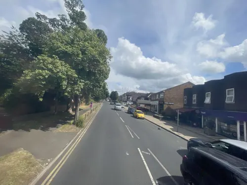
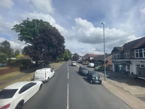
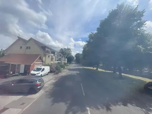
Biggin Hill is a town of 10,817 people in England, United Kingdom.
Why visit Biggin Hill
Townapedia lists 11 museums and landmarks, 14 parks and trails, 17 places to eat, 4 places to stay and 3 attractions in and around town.
Highlights include Down House, Biggin Hill Memorial Museum, Downe Bank and High Elms Country Park.
Weather in Biggin Hill
Forecast from MET Norway (CC BY 4.0). Full forecast
About Biggin Hill
Biggin Hill is a town in the London Borough of Bromley, about 15.2 miles (24.5 km) south-southeast of Charing Cross. It is separated from London's built-up area by the Metropolitan green belt and is located adjacent to the Greater London boundary with Kent and Surrey. Prior to the creation of Greater London in 1965, it was part of Kent. At the 2011 Census, Biggin Hill had a population of 9,951.
From the Wikipedia article Biggin Hill (this version), under CC BY-SA 4.0.
Things to do3


Museums and landmarks11

Down House
Monument and historic site · 1.5 mi
Former home of the English naturalist Charles Darwin and his family
Luxted Road, Orpington
We-Su 11:00-17:00
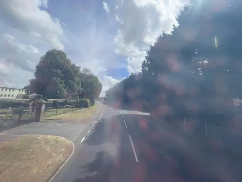

Keston Roman villa
Monument and historic site · 2.6 mi
Roman villa in the UK

Titsey Place
Museum · 2.6 mi
Country house in Titsey, Surrey, England, UK
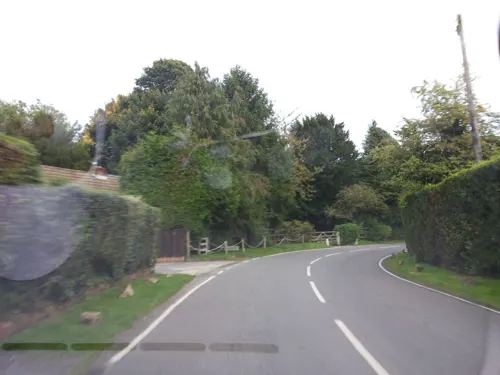


Parks, trails and playgrounds14



Nore Hill Pinnacle
Park · 2.7 mi
Local nature reserve in Surrey, England

2 more on the map.
Restaurants and cafes17
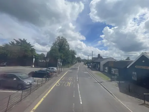
Aperfield Inn
Restaurant · 1.1 mi
311 Main Road, Biggin Hill
Mo-We 12:00-22:00; Th-Sa 12:00-23:00; Su 12:00-22:00
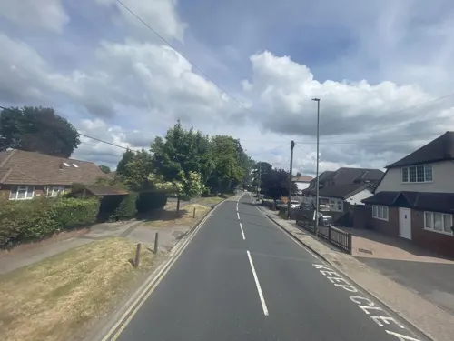


Biggin Hill Spice
Restaurant · Indian · 0.4 mi
10 Rosehill Road, Biggin Hill, Westerham

5 more on the map.
History
Biggin Hill formed part of Cudham, an ancient parish in the county of Kent. Following the Local Government Act 1894 it formed part of Bromley Rural District. The parish became part of Orpington Urban District in 1934. Kent County Council formed the second tier of local government from 1889. In 1965, the London County Council was abolished and replaced by the Greater London Council, with an expanded administrative area, so that Biggin Hill is now part of the London Borough of Bromley.
Biggin Hill is part of the Biggin Hill ward for elections to Bromley London Borough Council.
From the History section of Biggin Hill on Wikipedia, under CC BY-SA 4.0.
More about Biggin Hill
Education
Charles Darwin School is a secondary school within three miles of the centre.
Two main primary schools operate: Oaklands Primary School and Biggin Hill Primary School. Beyond the outskirts are Cudham CoE Primary School near Foal Farm, Tatsfield Primary in Tatsfield to the west and Downe Primary in Downe village.
From the Wikipedia article Biggin Hill, under CC BY-SA 4.0.
Notable people from Biggin Hill
- Eddie GordonBritish DJ
Born in Biggin Hill, according to Wikidata (CC0). Each name links to its Wikipedia article.
Where to stay4
The Bakery Restaurant & Rooms
Motel and hotel · 1.4 mi
Westmore Green, Biggin Hill
Churches and places of worship6
Shopping2
Gas and EV charging2
Schools, colleges and libraries5
Healthcare1
Map of Biggin Hill
65 places. The map loads OpenStreetMap tiles when you open it.
Getting there and nearby towns
London Biggin Hill Airport (BQH) is the nearest airport with scheduled flights listed in OpenStreetMap, 1 miles away.
- Oxted 4 mi southwest, about 7 min by car
- West Wickham 4 mi northwest, about 7 min by car
- Hayes 5 mi north, about 7 min by car
- Orpington 5 mi northeast, about 8 min by car
- Chelsfield 5 mi northeast, about 8 min by car
- Sanderstead 5 mi west, about 8 min by car
- Caterham 5 mi southwest, about 9 min by car
- Shirley 6 mi northwest, about 9 min by car
- Kenley 6 mi west, about 10 min by car
- Croydon 8 mi northwest, about 12 min by car
Drive times are estimates from straight-line distance, not routes.
Towns near Biggin Hill


Keep exploring
Local news
Headlines from INDB.
Reviews, tips and questions
Loading what members have shared...
Sources and licences
- GeoNames (CC BY 4.0): population, coordinates, regions and time zone
- Mapillary (see each image): photos
- OpenStreetMap contributors (ODbL 1.0): places, airports, map data
- Wikidata (CC0 1.0): elevation, founding date, time zone, website, landmarks and historic places
- Wikimedia Commons (see each image): photos
- Wikipedia (CC BY-SA 4.0): overview and history text
Photo credits
- St Mark's, Biggin Hill TN16, Philip Talmage, CC BY-SA 2.0
- Down House, Anthonyeatworld at English Wikipedia, CC BY-SA 3.0
- Keston mausoleum, Udimu, CC BY-SA 4.0
- Titsey Place Oxted Surrey, Anthony Whitworth, CC BY-SA 3.0
- Downe Bank, Dudley Miles, CC BY-SA 3.0
- High Elms Cuckoo Wood, Dudley Miles, CC BY-SA 3.0
- Hutchinson's Bank sheep, Dudley Miles, CC BY-SA 3.0
- Keston Common Lower Lake, Dudley Miles, CC BY-SA 3.0
- West Kent golf course -Ian-Capper, Ian Capper, CC BY-SA 2.0
- Charles Darwin School, London, Mx. Granger, CC0
- Full-size mock-up Supermarine Spitfire Ia ‘K9998 - QJ-K’ (BAPC431), HawkeyeUK, CC BY-SA 2.0
- Down House and garden, Ajr50, CC BY-SA 4.0
- Street-level photo, Opspin, CC BY-SA 4.0
- Street-level photo, Opspin, CC BY-SA 4.0
- Street-level photo, Opspin, CC BY-SA 4.0
- Street-level photo, Opspin, CC BY-SA 4.0
- Street-level photo, Opspin, CC BY-SA 4.0
- Street-level photo, endszbrxns, CC BY-SA 4.0
- Street-level photo, Opspin, CC BY-SA 4.0
- Street-level photo, Opspin, CC BY-SA 4.0
- Street-level photo, Opspin, CC BY-SA 4.0
- Street-level photo, Opspin, CC BY-SA 4.0
- Street-level photo, Opspin, CC BY-SA 4.0
- Street-level photo, Opspin, CC BY-SA 4.0
- Street-level photo, Opspin, CC BY-SA 4.0
- Street-level photo, Opspin, CC BY-SA 4.0
- Street-level photo, Opspin, CC BY-SA 4.0
- Street-level photo, Opspin, CC BY-SA 4.0
- Street-level photo, Opspin, CC BY-SA 4.0
- Street-level photo, endszbrxns, CC BY-SA 4.0
- Street-level photo, endszbrxns, CC BY-SA 4.0

Page built November 10, 2026. Spotted a mistake? Tell us or suggest a place.