


Bottisham, United Kingdom
Bottisham is a town of 2,199 people in England, United Kingdom.
Why visit Bottisham
Townapedia lists 9 museums and landmarks, 12 parks and trails and 14 places to eat in and around town.
Highlights include Anglesey Abbey, Bottisham Airfield Museum and Fulbourn Fen.
Weather in Bottisham
Forecast from MET Norway (CC BY 4.0). Full forecast
About Bottisham
Bottisham is a village and civil parish in the East Cambridgeshire district of Cambridgeshire, England, about 6 miles (10 km) east of Cambridge, halfway to Newmarket. According to the 2001 census it had a population of 1,983, including Chittering, increasing to 2,199 at the 2011 Census.
From the Wikipedia article Bottisham (this version), under CC BY-SA 4.0.
Museums and landmarks9

Anglesey Abbey
Museum · 1.3 mi
National Trust property on a former monastic site in Cambridgeshire, England, UK
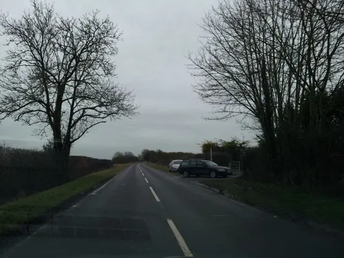

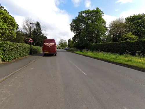

Causewayed enclosure 900m west of Great Wilbraham parish church
Monument and historic site · 1.8 mi
Archaeological site in Great Wilbraham, South Cambridgeshire, England, UK
Memorial to Bottisham Commanding Officer Thomas Christian
Monument and historic site
Parks, trails and playgrounds12

Fulbourn Fen
Park · 3.3 mi
Nature reserve in Cambridgeshire, England, UK

Restaurants and cafes14
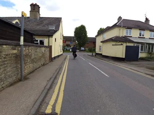
The Bell
Bar and pub
16 High Street
Tu 17:00-22:30; We 11:00-22:30; Th 11:00-23:00; Fr 09:30-23:30; Sa...


Wild Diner
Cafe · Barbecue · 1.3 mi
Summer Weekends Only 11:00 -3pm + Some School Holidays
2 more on the map.
Churches and places of worship6


Church of St Cyriac and St Julitta, Swaffham Prior
Church · 2.5 mi
Church in East Cambridgeshire, England, UK
St John the Evangelist (Little Wilbraham Parish Church)
Church · Anglican · 1.3 mi
More about Bottisham
Education
Bottisham is one of the group of villages in which the village colleges of Cambridgeshire were originally developed. Opened in 1937, Bottisham Village College was the second of Henry Morris' colleges. The first college was built at Sawston in 1930, and the idea of these magnificent buildings is to draw children over eleven from the villages round into an atmosphere in which they will develop a taste and a capacity for rural life and craftsmanship, with facilities for training themselves in whatever career they desire, and with opportunities for practising music or drama, cooking or needlework; the colleges also serve as adult educational and cultural centres – they act as a social focus for the life of the whole community. The buildings at Bottisham are charmingly planned so that all the principal rooms run round a curve and look out onto the playing field. Now, it is more of a community centre and a school.
From the Wikipedia article Bottisham, under CC BY-SA 4.0.
Notable people from Bottisham
- Frederick ReynoldsEnglish cricketer (1833-1915)
- Charles Fitzgerald Gambier JenynsEnglish cleric
- James SwiftBritish Army officer
Born in Bottisham, according to Wikidata (CC0). Each name links to its Wikipedia article.
Shopping1
Schools, colleges and libraries3
Swaffham Bulbeck Church of England Primary School
School · Anglican · 1.2 mi
84 High Street, Cambridge
Healthcare1
Map of Bottisham
46 places. The map loads OpenStreetMap tiles when you open it.
Getting there and nearby towns
Cambridge City Airport (CBG) is the nearest airport with scheduled flights listed in OpenStreetMap, 4 miles away.
- Cambridge 6 mi west, about 10 min by car
- Newmarket 6 mi east, about 10 min by car
- Exning 6 mi northeast, about 9 min by car
- Oakington 8 mi west, about 14 min by car
- Stretham 9 mi north, about 14 min by car
- Whittlesford 9 mi southwest, about 14 min by car
- Harston 10 mi southwest, about 15 min by car
- Longstanton 10 mi northwest, about 16 min by car
- Duxford 10 mi southwest, about 16 min by car
- Wilburton 10 mi north, about 15 min by car
Drive times are estimates from straight-line distance, not routes.
Towns near Bottisham


Keep exploring
Local news
Headlines from INDB.
Reviews, tips and questions
Loading what members have shared...
Sources and licences
- GeoNames (CC BY 4.0): population, coordinates, regions and time zone
- Mapillary (see each image): photos
- OpenStreetMap contributors (ODbL 1.0): places, airports, map data
- Wikidata (CC0 1.0): elevation, founding date, time zone, website, landmarks and historic places
- Wikimedia Commons (see each image): photos
- Wikipedia (CC BY-SA 4.0): overview and history text
Photo credits
- Anglesey Abbey 2a, Wehha, CC BY-SA 3.0
- Bottisham Church, Cruccone, CC BY 2.5
- Figure of Lioness, At Temple Lawn, At Anglesey Abbey, Tim Garrett-Moore, CC BY-SA 4.0
- Street-level photo, smsm1, CC BY-SA 4.0
- Street-level photo, smsm1, CC BY-SA 4.0
- Street-level photo, smsm1, CC BY-SA 4.0
- Street-level photo, adam2, CC BY-SA 4.0
- Street-level photo, adam2, CC BY-SA 4.0
- Street-level photo, smsm1, CC BY-SA 4.0
- Street-level photo, cyclestreets, CC BY-SA 4.0
- Street-level photo, adam2, CC BY-SA 4.0
- Street-level photo, smsm1, CC BY-SA 4.0
- Street-level photo, smsm1, CC BY-SA 4.0
- Street-level photo, adam2, CC BY-SA 4.0
- Street-level photo, smsm1, CC BY-SA 4.0
- Street-level photo, smsm1, CC BY-SA 4.0
Page built November 10, 2026. Spotted a mistake? Tell us or suggest a place.