


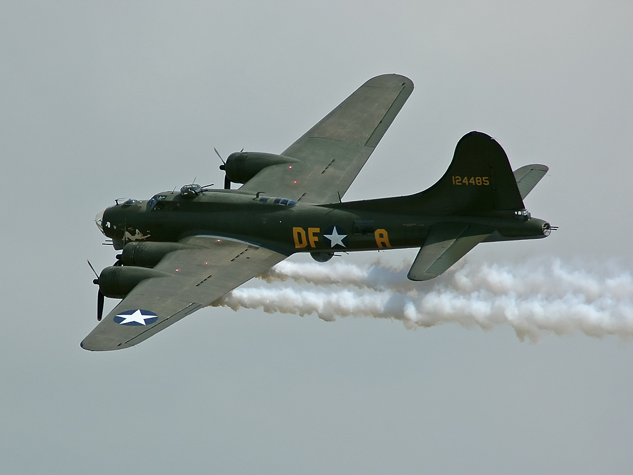


Why visit Duxford
Townapedia lists 22 museums and landmarks, 2 parks and trails, 15 places to eat, 5 places to stay and 1 attraction in and around town.
Highlights include IWM Duxford and Airborne Assault.
Weather in Duxford
Forecast from MET Norway (CC BY 4.0). Full forecast
About Duxford
Duxford is a village in Cambridgeshire, England, about 10 miles (16 km) south of Cambridge. It is part of the Hundred Parishes area.
From the Wikipedia article Duxford (this version), under CC BY-SA 4.0.
Travel tips from other travellers: Duxford on Wikivoyage (CC BY-SA 4.0).
Photos of Duxford


Things to do1
Museums and landmarks22


Imperial War Museum Duxford
Museum · 1.3 mi
Britain's largest aviation museum

Boeing B-17G Flying Fortress - Sally B
Monument and historic site · 1.1 mi




10 more on the map.
Parks, trails and playgrounds2


Restaurants and cafes15


Provenance
Restaurant · 1.0 mi
Hill Farm Road, Cambridge
We 12:00-16:00;Th 12:00-16:00,18:00-22:00;Fr,Sa...

3 more on the map.
History
The village formed on the banks of the River Cam, a little below its emergence from the hills of north Essex. One of the more populous settlements in its hundred, it was split into two ecclesiastical parishes in medieval times until they were united in 1834.
Originally known as Duxworth and listed as Dukeswrthe in the 10th century, and Dochesuuorde in the Domesday Book of 1086, the village's name comes from "Worth (enclosure) of a man called Duc".
From the History section of Duxford on Wikipedia, under CC BY-SA 4.0.
Notable people from Duxford
- William MarkbyBritish judge (1829–1914)
Born in Duxford, according to Wikidata (CC0). Each name links to its Wikipedia article.
Where to stay5
Churches and places of worship11
Shopping2
Gas and EV charging1
Schools, colleges and libraries2
Map of Duxford
61 places. The map loads OpenStreetMap tiles when you open it.
Getting there and nearby towns
Cambridge City Airport (CBG) is the nearest airport with scheduled flights listed in OpenStreetMap, 7 miles away.
- Whittlesford 1 mi north, about 2 min by car
- Great Chesterford 3 mi southeast, about 4 min by car
- Fowlmere 4 mi west, about 6 min by car
- Harston 4 mi northwest, about 7 min by car
- Saffron Walden 6 mi southeast, about 10 min by car
- Haslingfield 6 mi northwest, about 9 min by car
- Meldreth 6 mi west, about 10 min by car
- Cambridge 8 mi north, about 12 min by car
- Royston 8 mi west, about 14 min by car
- Newport 8 mi south, about 13 min by car
Drive times are estimates from straight-line distance, not routes.
Towns near Duxford


Keep exploring
Local news
Headlines from INDB.
Reviews, tips and questions
Loading what members have shared...
Sources and licences
- GeoNames (CC BY 4.0): population, coordinates, regions and time zone
- Mapillary (see each image): photos
- OpenStreetMap contributors (ODbL 1.0): places, airports, map data
- Wikidata (CC0 1.0): elevation, founding date, time zone, website, landmarks and historic places
- Wikimedia Commons (see each image): photos
- Wikipedia (CC BY-SA 4.0): overview and history text
Photo credits
- M36 Jackson at the Imperial War Museum in Duxford, Cambridgeshire, Hugh Llewelyn, CC BY-SA 2.0
- IckletonChurch.18.9.11, Smb1001, CC BY-SA 3.0
- Imperialwarmuseumduxfordairspacecrop, IxK85, CC BY-SA 3.0
- B-17G-105 44-85784-Sally B, Kogo, GFDL
- Battle of Britain Operations Room, RAF Duxford, Jon Bennett, CC BY 2.0
- American Air Museum Duxford, Christopher Kern - User: (WT-shared) Albion at wts wikivoyage, CC BY-SA 4.0
- Duxford St John External from SW, ChurchSniffer, CC BY-SA 4.0
- Curtiss P-40F Warhawk (32847548490), Hugh Llewelyn from Keynsham, UK, CC BY-SA 2.0
- Supermarine Spitfire PR XI (32367332154), Hugh Llewelyn from Keynsham, UK, CC BY-SA 2.0
- Avro Canada CF-100 Canuck F V (33071342832), Hugh Llewelyn from Keynsham, UK, CC BY-SA 2.0
- North American P-51D Mustang (32847548760), Hugh Llewelyn from Keynsham, UK, CC BY-SA 2.0
- Supermarine Spitfire F Ia (32829050130), Hugh Llewelyn from Keynsham, UK, CC BY-SA 2.0
- Supermarine Spitfire F XXIV (32829049240), Hugh Llewelyn from Keynsham, UK, CC BY-SA 2.0
- Hawker Hunter F6A (32367842614), Hugh Llewelyn from Keynsham, UK, CC BY-SA 2.0
- Airborne Assault entrance, Jack1956, CC BY 3.0
- Airspeed Ambassador 2 'G-ALZO' (14065129484), Alan Wilson, CC BY-SA 2.0
- G-AOVT, Bristol Britannia 312, Monarch Airlines, Duxford Museum, 26-11-2016 (36971004603), Rosedale7175 from Norwich, UK, CC BY-SA 2.0
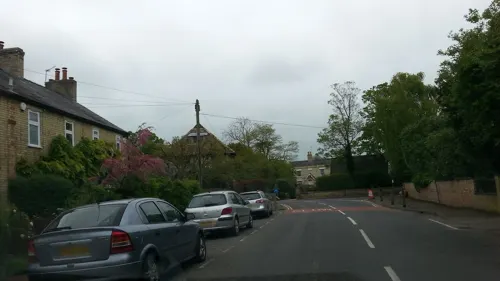
- Street-level photo, cyclestreets, CC BY-SA 4.0
- Street-level photo, cyclestreets, CC BY-SA 4.0
- Street-level photo, cyclestreets, CC BY-SA 4.0
- Street-level photo, adam2, CC BY-SA 4.0
- Street-level photo, cyclestreets, CC BY-SA 4.0
- Street-level photo, cyclestreets, CC BY-SA 4.0
- Street-level photo, adam2, CC BY-SA 4.0
- Street-level photo, cyclestreets, CC BY-SA 4.0
- Street-level photo, cyclestreets, CC BY-SA 4.0
- Street-level photo, 4004, CC BY-SA 4.0
- Street-level photo, adam2, CC BY-SA 4.0
- Street-level photo, lamaar639, CC BY-SA 4.0
- Street-level photo, tumblecow, CC BY-SA 4.0


Page built November 10, 2026. Spotted a mistake? Tell us or suggest a place.