
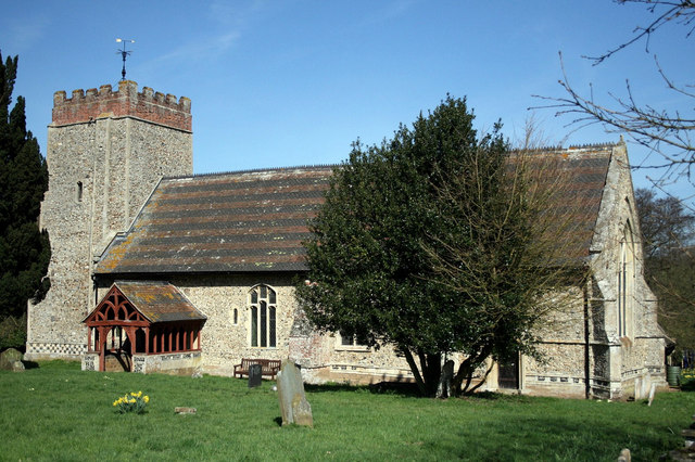
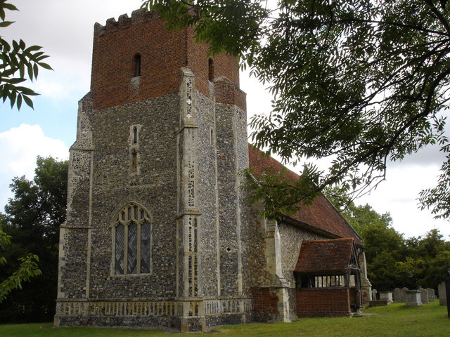


Capel Saint Mary, United Kingdom
Capel Saint Mary is a town of 2,940 people in England, United Kingdom.
Why visit Capel Saint Mary
Townapedia lists 3 museums and landmarks, 4 parks and trails, 12 places to eat and 1 place to stay in and around town.
Highlights include Bridge Cottage, Little Wenham Castle, Railway Walk, Hadleigh and Cattawade Marshes.
Weather in Capel Saint Mary
Forecast from MET Norway (CC BY 4.0). Full forecast
About Capel Saint Mary
Capel St Mary – commonly known as Capel – is a village and civil parish in the Babergh district, in the county of Suffolk, England. It is about 6 miles (10 km) south-west of Ipswich and 2 miles (3 km) from Dedham Vale, which is a designated Area of Outstanding Natural Beauty. In 2011 the parish had a population of 2847.
From the Wikipedia article Capel St Mary (this version), under CC BY-SA 4.0.
Museums and landmarks3

Bridge Cottage
Museum · 3.3 mi
Historic cottage in Flatford, Suffolk, England, UK


Parks, trails and playgrounds4
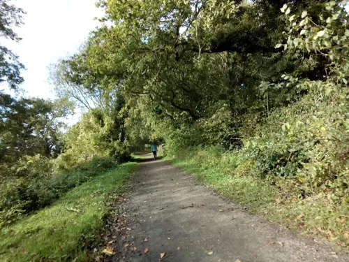

Cattawade Marshes
Park · 3.3 mi
RSPB Nature Reserve in the United Kingdom

Restaurants and cafes12
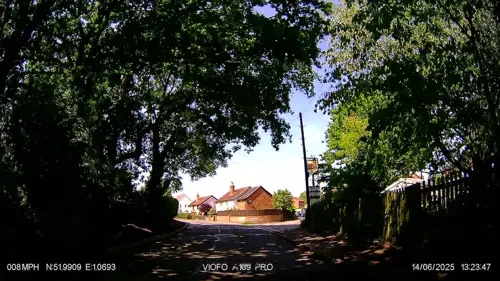
The Case is Altered
Bar and pub · 1.4 mi
Capel Road, Ipswich
We-Th 18:00-22:00; Fr 18:00-22:30; Sa 18:00-22:00; Su 12:00-15:00;...
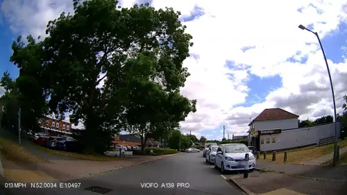
Capel Bakery
Bakery
44 The Street, Ipswich
Mo,Sa 06:00-14:00; Tu-Fr 06:00-15:00

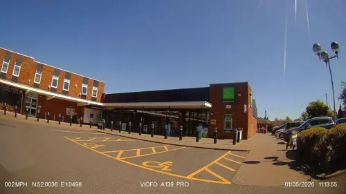
Magnificent Wok
Fast food · Chinese
44a The Street, Ipswich
Mo-Sa 16:00-23:00; Su 16:00-22:00

The Bluebell Tea Room
Cafe · Teahouse · 0.5 mi
London Road, Capel St. Mary
Mo-Sa 10:00-16:00;Su 10:00-15:00

Zaynab Indian Cuisine
Restaurant · Indian · 0.4 mi
Mo-Th 17:00-22:30; Fr,Sa 17:00-23:00; Su 12:00-15:00,17:00-22:00


Where to stay1

History
The village was listed in the Domesday Book of 1086 as part of the manor of Boynton. An early 13th-century charter from nearby Dodnash Priory was the first to mention it by its current name, derived from the Norman-French and Welsh capel, meaning chapel.
Tentative evidence of Bronze Age habitation has recently been unearthed just outside the boundaries of the village, and well-documented human settlement in the area dates from the Roman period. Evidence of a villa was found while building council houses on Windmill Hill at the west end of the village in the 1930s, with remains of a kiln nearby and smaller artefacts such as coins and tiles.
A fortified house was built in nearby Little Wenham between 1260 and 1290. It is believed to be one of the first examples of fortified houses made from English brick.
A railway station was built as part of the Hadleigh branch line in 1847. The station was closed to passengers in 1932 but freight services continued until 1965, when the line was closed as a result of the Beeching Axe.
Read more of the history
During the Second World War, the village was frequented by American airmen from nearby RAF Raydon. Men from the village were involved in two local Auxiliary Units, Wenham and Capel, part of the 202nd battalion of the Home Guard. The Wenham unit was based at a dugout under Jermyn's Farm to the north of the village, and a dugout a short distance away housed their supply of explosives. The Capel unit was based in woods near Bentley; the three dugouts at their disposal housed ammunition, a field telephone, and their supplies of gelignite and plastic explosive. The explosives were destroyed in-situ after the end of hostilities because they were deemed too dangerous to move.
In 1960, initial plans were drawn up for significant housing development and mains sewerage in the village – the latter was needed following the introduction of mains water in 1951. These were finalised by 1963, initiating an expansion of the village from some 632 people in 1961 to a peak of 3,176 people in 1991. The new houses were built with an open-plan design: front gardens were not to be enclosed, and grass verges were to separate fences from the pavement. Plans for the village shopping centre were approved in 1974.
From the History section of Capel St Mary on Wikipedia, under CC BY-SA 4.0.
More about Capel Saint Mary
Economy
According to the 2001 UK census, the employment of residents aged 16–74 was 16.2% retail and wholesale, 13.3% property and business services, 11.4% transport and communications, 10.9% finance, 9.7% manufacturing, 8.1% health and social work, 6.9% education, 6.1% construction, 5.7% public administration, 5.3% hotels and restaurants, 1.4% agriculture, 1.3% energy and water supply, and 3.8% other. Compared with national figures, Capel St Mary had a relatively high proportion of residents working in energy and water supply (0.9% nationally), transport and communications (7.0% nationally), and finance (5.1%), and a relatively low proportion in manufacturing (17.6% nationally).
Although the proportion of non-working people in Capel St Mary was similar to the national average (1.5%), it was below the borough average (3.5%). The census recorded the economic activity of residents aged 16–74 as 3.1% students with jobs, 2.8% students without jobs, 6.1% looking after home or family, 2.5% permanently sick or disabled, and 1.1% economically inactive for other reasons.
From the Wikipedia article Capel St Mary, under CC BY-SA 4.0.
Notable people from Capel Saint Mary
 Edwin AldersonBritish and Canadian First World War general (1859–1927)Photo: Bain News Service (publisher), Public domain
Born in Capel Saint Mary, according to Wikidata (CC0). Each name links to its Wikipedia article.
Churches and places of worship7
Shopping1
Gas and EV charging3
Schools, colleges and libraries2
Capel St Mary Church of England Voluntary Controlled Primary School
School · Anglican
The Street, Ipswich
Healthcare1
Map of Capel Saint Mary
34 places. The map loads OpenStreetMap tiles when you open it.
Getting there and nearby towns
RAF Honington (BEQ) is the nearest airport with scheduled flights listed in OpenStreetMap, 26 miles away.
- East Bergholt 2 mi southwest, about 3 min by car
- Dedham 4 mi southwest, about 6 min by car
- Mistley 4 mi south, about 7 min by car
- Holbrook 5 mi east, about 8 min by car
- Bramford 5 mi northeast, about 9 min by car
- Ipswich 6 mi northeast, about 10 min by car
- Boxted 7 mi southwest, about 11 min by car
- Kesgrave 9 mi northeast, about 15 min by car
- Great Horkesley 9 mi southwest, about 14 min by car
- Colchester 10 mi southwest, about 16 min by car
Drive times are estimates from straight-line distance, not routes.
Towns near Capel Saint Mary


Keep exploring
Local news
Headlines from INDB.
Reviews, tips and questions
Loading what members have shared...
Sources and licences
- GeoNames (CC BY 4.0): population, coordinates, regions and time zone
- Mapillary (see each image): photos
- OpenStreetMap contributors (ODbL 1.0): places, airports, map data
- Wikidata (CC0 1.0): elevation, founding date, time zone, website, landmarks and historic places
- Wikimedia Commons (see each image): photos
- Wikipedia (CC BY-SA 4.0): overview and history text
Photo credits
- Washbrook church, Richie Wisbey, CC BY-SA 2.0
- Little Wenham - Church of St Lawrence (2), Oxymoron, CC BY-SA 2.0
- Little Wenham - Little Wenham Castle, Zorba the Geek, CC BY-SA 2.0
- White Horse Capel, Brammers, CC BY-SA 3.0
- Bridge Cottage Flatford, Richard Slessor, CC BY-SA 2.0
- Street-level photo, IpswichEdits, CC BY-SA 4.0
- Street-level photo, IpswichEdits, CC BY-SA 4.0
- Street-level photo, smsm1, CC BY-SA 4.0
- Street-level photo, IpswichEdits, CC BY-SA 4.0
- Street-level photo, IpswichEdits, CC BY-SA 4.0
Page built November 10, 2026. Spotted a mistake? Tell us or suggest a place.