


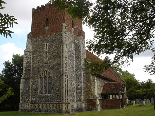


East Bergholt, United Kingdom
East Bergholt is a town of 2,252 people in England, United Kingdom.
Why visit East Bergholt
Townapedia lists 7 museums and landmarks, 3 parks and trails, 9 places to eat, 3 places to stay and 2 attractions in and around town.
Highlights include Bridge Cottage, Castle House and Cattawade Marshes.
Weather in East Bergholt
Forecast from MET Norway (CC BY 4.0). Full forecast
About East Bergholt
East Bergholt is a village in the Babergh District of Suffolk, England, just north of the Essex border.
From the Wikipedia article East Bergholt (this version), under CC BY-SA 4.0.
Things to do2


Museums and landmarks7

Bridge Cottage
Museum · 1.3 mi
Historic cottage in Flatford, Suffolk, England, UK
Flatford Lane



Parks, trails and playgrounds3

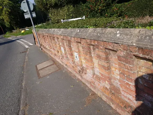
Cattawade Marshes
Park · 2.0 mi
RSPB Nature Reserve in the United Kingdom
Restaurants and cafes9
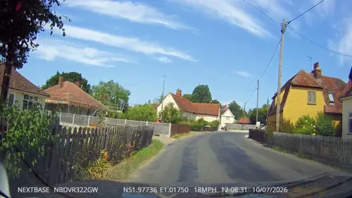
Carriers Arms
Bar and pub
We,Th 12:00-22:30; Fr,Sa 12:00-23:00; Su 12:00-18:00; Mo,Tu off
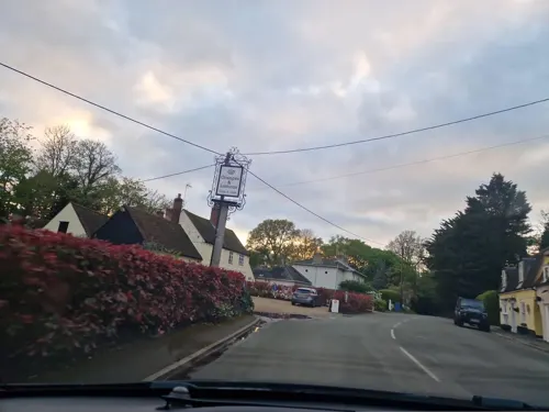
Oranges and Lemons
Cafe · 0.7 mi
Tu-Fr 10:00-15:30; Sa 10:00-16:00



Notable people from East Bergholt
 John ConstableEnglish painter (1776-1837)Photo: Ramsay Richard Reinagle, Public domain
 William Branwhite ClarkeBritish geologist and clergyman (1798–1878)Photo: J Hubert Newman, Public domain
- Geoffrey EleyBritish businessman and author
Born in East Bergholt, according to Wikidata (CC0). Each name links to its Wikipedia article.
Where to stay3
Churches and places of worship7
Shopping3
Schools, colleges and libraries3
East Bergholt Church of England Voluntary Controlled Primary School
School · Anglican
School Lane, East Bergholt
Healthcare1
Map of East Bergholt
38 places. The map loads OpenStreetMap tiles when you open it.
Getting there and nearby towns
RAF Honington (BEQ) is the nearest airport with scheduled flights listed in OpenStreetMap, 27 miles away.
- Dedham 2 mi southwest, about 3 min by car
- Mistley 4 mi southeast, about 6 min by car
- Boxted 5 mi southwest, about 8 min by car
- Holbrook 6 mi east, about 10 min by car
- Great Horkesley 7 mi southwest, about 11 min by car
- Elmstead Market 7 mi south, about 11 min by car
- Colchester 8 mi southwest, about 13 min by car
- Ipswich 8 mi northeast, about 13 min by car
- Great Bentley 9 mi south, about 14 min by car
- Rowhedge 9 mi south, about 14 min by car
Drive times are estimates from straight-line distance, not routes.
Towns near East Bergholt


Keep exploring
Local news
Headlines from INDB.
Reviews, tips and questions
Loading what members have shared...
Sources and licences
- GeoNames (CC BY 4.0): population, coordinates, regions and time zone
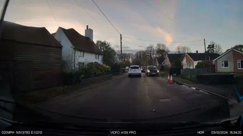
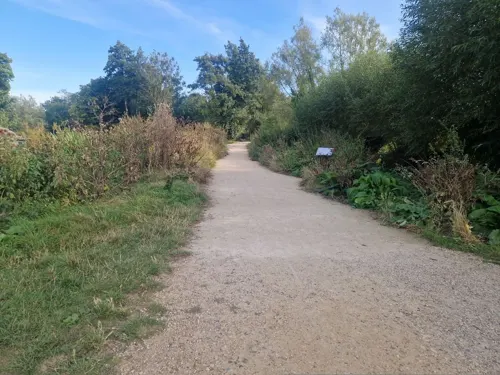
- Mapillary (see each image): photos
- OpenStreetMap contributors (ODbL 1.0): places, airports, map data
- Wikidata (CC0 1.0): elevation, founding date, time zone, website, landmarks and historic places
- Wikimedia Commons (see each image): photos
- Wikipedia (CC BY-SA 4.0): overview and history text
Photo credits
- East Bergholt- Bells, Bernd Jatzwauk Pommes104, CC BY-SA 3.0
- St. Mary's, East Bergholt (31157854405), grassrootsgroundswell, CC BY 2.0
- Little Wenham - Church of St Lawrence (2), Oxymoron, CC BY-SA 2.0
- Flatford-Mill, Rowland Shaw, CC BY-SA 2.5
- Willy Lott's Cottage, Lobsan, CC BY-SA 3.0
- 1033473 I Flatford, VALLEY FARMHOUSE East Bergholt 20260525 0001, Tilman2007, CC BY-SA 4.0
- Stratford St Mary church April 2005, Geomr~commonswiki, CC BY-SA 3.0
- Bridge Cottage Flatford, Richard Slessor, CC BY-SA 2.0
- Street-level photo, tallguy, CC BY-SA 4.0
- Street-level photo, edloach, CC BY-SA 4.0
- Street-level photo, edloach, CC BY-SA 4.0
- Street-level photo, IpswichEdits, CC BY-SA 4.0
- Street-level photo, edloach, CC BY-SA 4.0
- Street-level photo, IpswichEdits, CC BY-SA 4.0
- Street-level photo, IpswichEdits, CC BY-SA 4.0
- Street-level photo, edloach, CC BY-SA 4.0
- Street-level photo, IpswichEdits, CC BY-SA 4.0
- Street-level photo, edloach, CC BY-SA 4.0
- Street-level photo, edloach, CC BY-SA 4.0

Page built November 10, 2026. Spotted a mistake? Tell us or suggest a place.