


Why visit Holbrook
Townapedia lists 6 museums and landmarks, 7 parks and trails, 4 places to eat, 3 places to stay and 1 attraction in and around town.
Highlights include Orwell Bridge, Freston, Holbrook War Memorial and Bridge Wood.
Weather in Holbrook
Forecast from MET Norway (CC BY 4.0). Full forecast
About Holbrook
Holbrook is a village situated close to the northern shore of the estuary of the River Stour, in Suffolk, England. It is located on the Shotley Peninsula in Babergh district, around 5 miles (8 km) south of the centre of Ipswich.
From the Wikipedia article Holbrook, Suffolk (this version), under CC BY-SA 4.0.
Things to do1

Orwell Bridge
Bridge · 3.0 mi
Bridge in Ipswich, Suffolk, England, UK, carries the A14 road across the River Orwell estuary
Museums and landmarks6

Alnesbourne Priory
Monument and historic site · 3.2 mi
Augustinian priory in Suffolk, England, UK
Interrupted ditch system at Potash Farm
Monument and historic site · 1.0 mi
Archaeological site in Freston, Babergh, England, UK
Parks, trails and playgrounds7



Wrabness Nature Reserve
Park · 3.0 mi
Essex Wildlife Trust Nature reserve
Village Hall field
Park
Grass field linked to village hall and community car park
The Street
24/7

Restaurants and cafes4
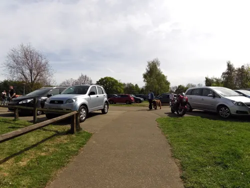
Alton Water Tea Rooms
Cafe · 1.1 mi
Mo-Fr 10:00-16:00; Sa 09:30-17:00; Su 10:00-17:00
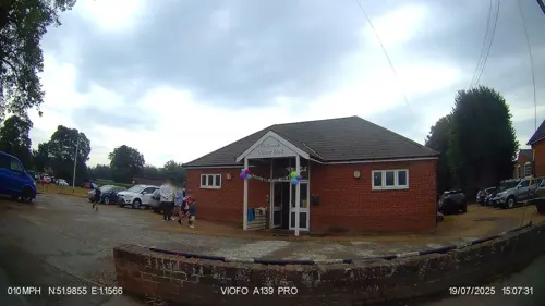
The Swan
Bar and pub
Closed in 2020, but has since been sold and there are hopes it will reopen.
The Street, Ipswich
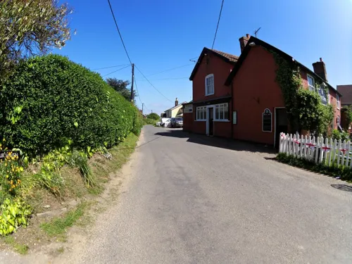

History
During the Battle of Britain, a German military aircraft crashed into a field on the outskirts of the village. Contemporary newspaper accounts identified the aircraft as a Messerschmitt. Another account possibly shows it crashed into Holbrook Bay instead.
From the History section of Holbrook, Suffolk on Wikipedia, under CC BY-SA 4.0.
Notable people from Holbrook
- Frederick FryerEnglish first-class cricketer. (1849-1917)
Born in Holbrook, according to Wikidata (CC0). Each name links to its Wikipedia article.
Where to stay3
Churches and places of worship5
Schools, colleges and libraries4
Map of Holbrook
30 places. The map loads OpenStreetMap tiles when you open it.
Getting there and nearby towns
RAF Honington (BEQ) is the nearest airport with scheduled flights listed in OpenStreetMap, 30 miles away.
- Mistley 4 mi southwest, about 7 min by car
- Ipswich 5 mi north, about 8 min by car
- Shotley Gate 5 mi east, about 8 min by car
- Harwich 6 mi southeast, about 10 min by car
- Kesgrave 6 mi northeast, about 10 min by car
- Dovercourt 6 mi southeast, about 10 min by car
- Dedham 7 mi west, about 12 min by car
- Felixstowe 8 mi east, about 13 min by car
- Thorpe le Soken 9 mi south, about 14 min by car
- Walton-on-the-Naze 10 mi southeast, about 17 min by car
Drive times are estimates from straight-line distance, not routes.
Towns near Holbrook


Keep exploring
Local news
Headlines from INDB.
Reviews, tips and questions
Loading what members have shared...
Sources and licences
- GeoNames (CC BY 4.0): population, coordinates, regions and time zone
- Mapillary (see each image): photos
- OpenStreetMap contributors (ODbL 1.0): places, airports, map data
- Wikidata (CC0 1.0): elevation, founding date, time zone, website, landmarks and historic places
- Wikimedia Commons (see each image): photos
- Wikipedia (CC BY-SA 4.0): overview and history text
Photo credits
- Orwell-Bridge, Rowland Shaw, CC BY-SA 2.5
- Bridge Wood 9, Dudley Miles, CC BY-SA 4.0
- Pipers Vale 5, Dudley Miles, CC BY-SA 4.0
- Echiniscus testudo 424231986, Robert Martin, CC BY 4.0
- Echiniscus testudo 424232026, Robert Martin, CC BY 4.0
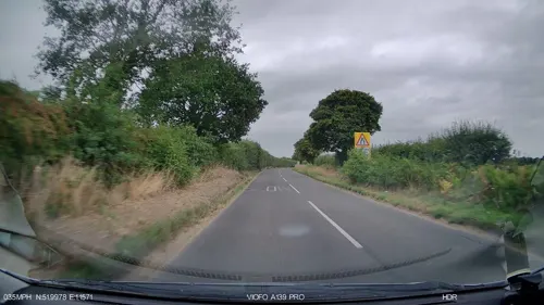
- Street-level photo, smsm1, CC BY-SA 4.0
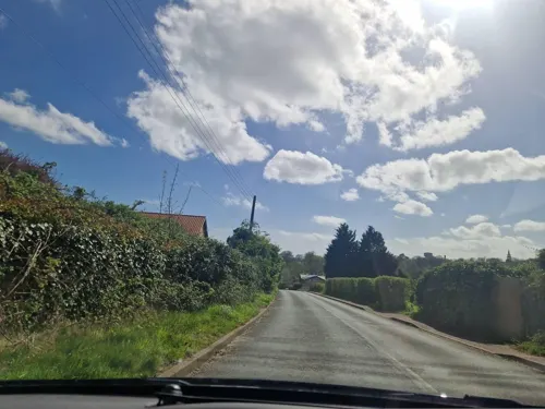
- Street-level photo, edloach, CC BY-SA 4.0
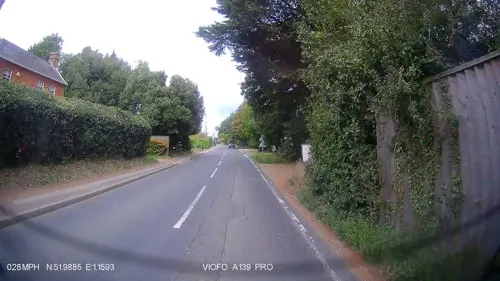
- Street-level photo, IpswichEdits, CC BY-SA 4.0
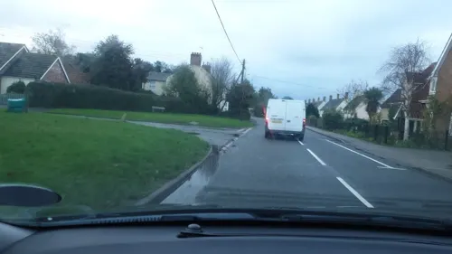
- Street-level photo, IpswichEdits, CC BY-SA 4.0
- Street-level photo, smsm1, CC BY-SA 4.0
- Street-level photo, smsm1, CC BY-SA 4.0
- Street-level photo, IpswichEdits, CC BY-SA 4.0
- Street-level photo, smsm1, CC BY-SA 4.0
- Street-level photo, edloach, CC BY-SA 4.0
Page built November 10, 2026. Spotted a mistake? Tell us or suggest a place.